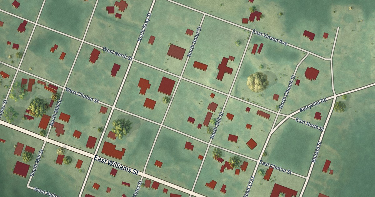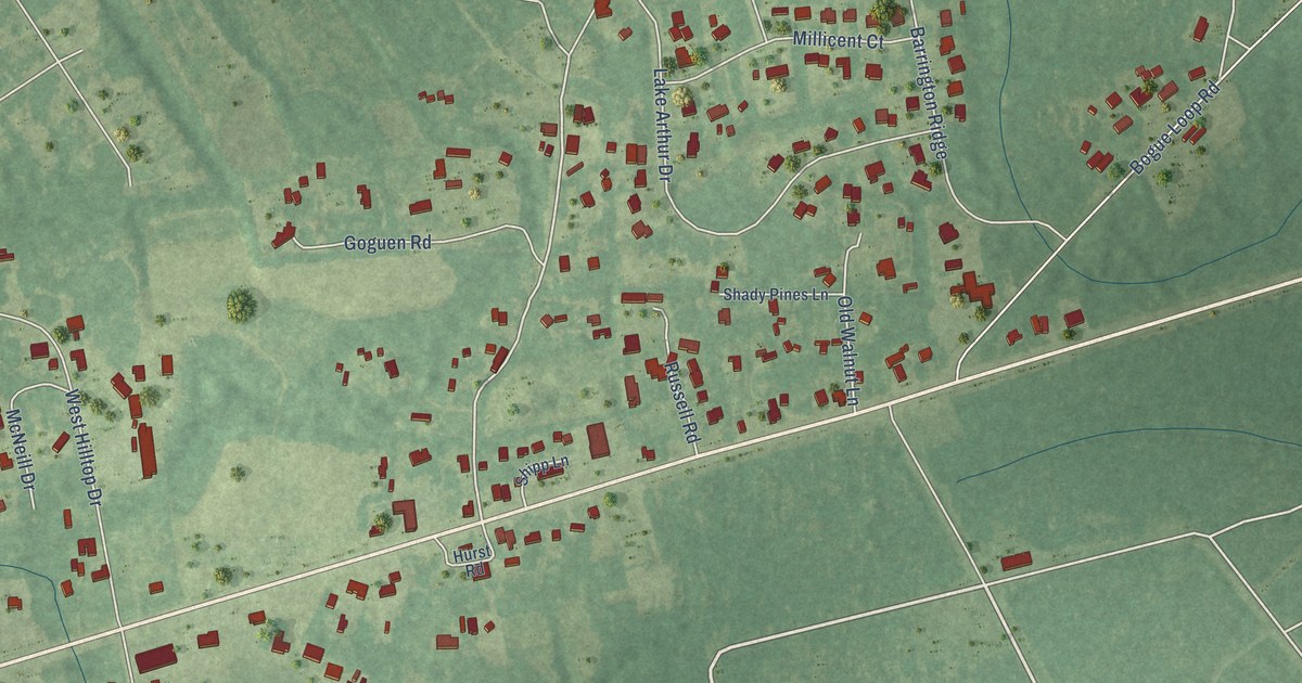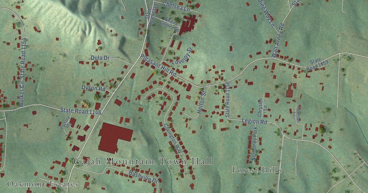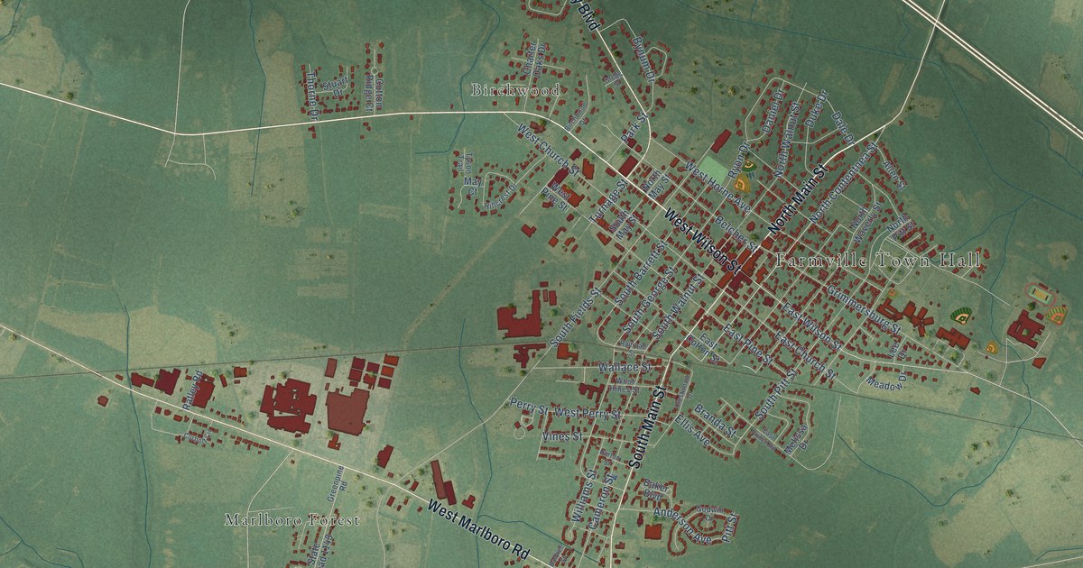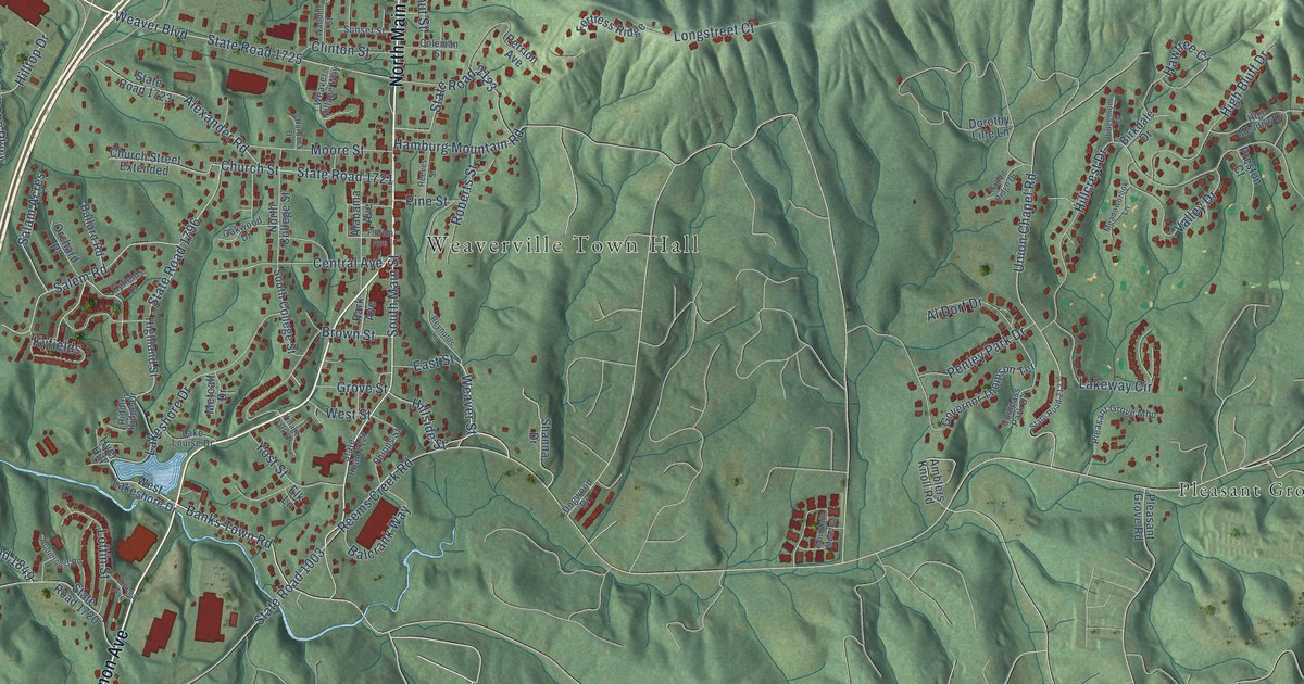
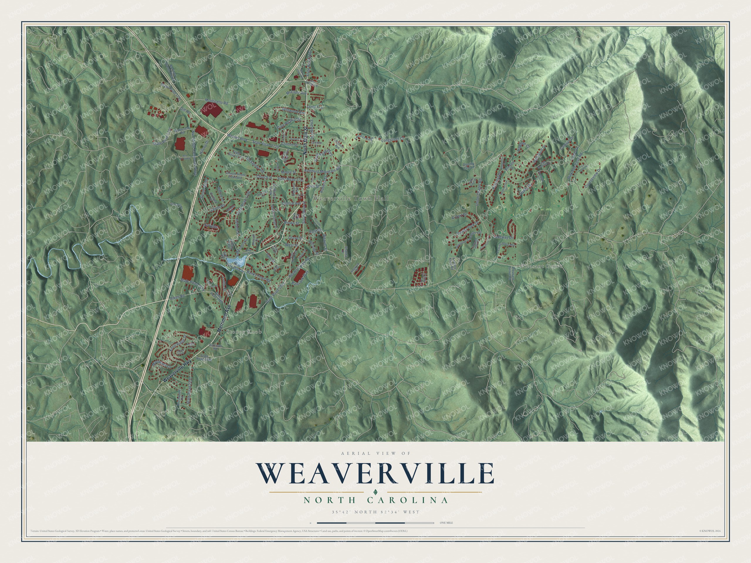
This beautifully detailed map of Weaverville, North Carolina was created in 2026 using aerial imagery combined with modern topographical, census, street and landmark data. It's a modern aerial view of Weaverville in Buncombe County, North Carolina, that combines modern data with a vintage aesthetic. The roads feature printed names, and if you look closely you can find your exact house accurately shown in its correct location.
Explore an aerial view of Weaverville, North Carolina
On this map you'll find Weaverville Town Hall, Stoney Knob, Pleasant Grove, Merrimon Avenue, North Main Street, Weaverville Highway, South Main Street, Hillside Street, State Road 2207, Banks Town Road, Weaver Street, State Road 1796, and more. Each red shape is a building, so zoom in on the preview and look for yours.
Weaverville has a story worth telling. The record at dncr.nc.gov puts it this way: "Weaverville College was chartered in 1873 to offer four years of college work."
Weaverville is a town in Buncombe County. The Census Bureau counted 4,567 people here in 2020.
Take a closer look at the Weaverville map
Names on this map
These names are printed on this map.
Places: Weaverville Town Hall, Stoney Knob and Pleasant Grove.
Streets and roads: Merrimon Avenue, North Main Street, Weaverville Highway, South Main Street, Hillside Street, State Road 2207, Banks Town Road, Weaver Street, State Road 1796, State Road 1003, Reems Creek Road, Hillcrest Drive.
More street names, A to Z
Aiken Road, Alabama Avenue, Al Dorf Drive, Alexander Road, Amblers Knoll Road, Athena Avenue, Balcrank Way, Ballard Road, Bett Stroud Road, Birkdale Drive, Brown Street, Brushwood Road, Camsyn Drive, Carden Drive, Central Avenue, Chestnut Street, Church Street, Church Street Extended, Clarks Chapel Road, Clinton Street, Coleman Street, Compass Park Drive, Courseview Drive, Critter Trail, Dogwood Drive, Dorothy Lille Lane, Dula Springs Road, East Street, Elk Lane, Florida Avenue, Fortress Ridge, Garrison Branch Road 2, Garrison Road, Gill Branch Road, Gill Road, Governor Thomson Terrace, Grove Street, Hamburg Mountain Road, Harbeck Drive, Hawtree Court, Heather Court, High Bluff Drive, Highland Street, High Meadow Drive, Hilltop Drive, Hyer Hill, Knoll Ridge Drive, Kyfields, Kyfields Drive, Lake Louise Drive, Lakeshore Drive, Lakeway Circle, Loftin Street, Longstreet Court, Marlwood Court, McClure Avenue, Meadowbrook Lane, Metcalf Drive, Monticello Road, Moore Street, Mountain Meadow, North College Street, Northcrest Road, Northridge Commons Parkway, Oakwood Drive, Orchard Place, Park Avenue, Penley Park Drive, Perrion Avenue, Phipps Street, Pine Street, Pink Fox Cove Road, Pleasant Grove Mhp, Pleasant Grove Road, Preston Court, Rabbit Ridge Drive, Reeves Street, Reynolds Lane, Riddle Ridge Drive, Ridgemont Drive, Roberts Street, Robinroost Road, Salam Acres, Salem Road, Shanna Drive, South College Street, State Road 1720, State Road 1721, State Road 1723, State Road 1725, State Road 1726, State Road 1727, State Road 1791, State Road 1849, State Road 2094, State Road 2122, State Road 2123, State Road 2127, State Road 2237, Stoney Hill Court, Sunset Street, Twin Courts Drive, Union Chapel Road, Valley Drive, Village Park Drive, Waddell Street, Weaver Boulevard, Weaver Village Way, West Lakeshore Drive, West Street, Wildwood Avenue, Yost Street.
Created by KNOWOL in 2026. The buildings are small red shapes, the roads carry their printed names, and shaded relief shows the shape of the land. The title panel reads "AERIAL VIEW OF WEAVERVILLE NORTH CAROLINA" with 35°42' NORTH 82°34' WEST.
It looks right in a kitchen, an office or a den, and it's a gift for anyone who grew up in Weaverville or moved away. Open the preview and find your street. See sizes and frames for the Weaverville map.