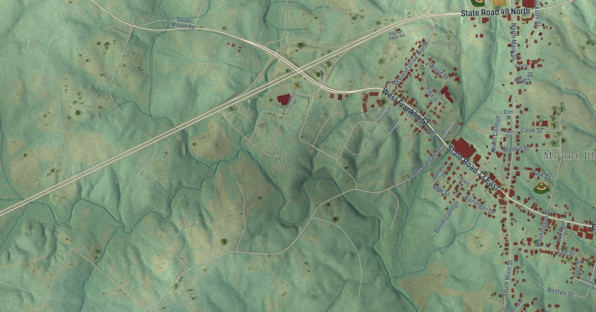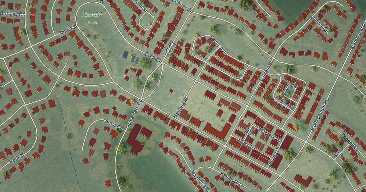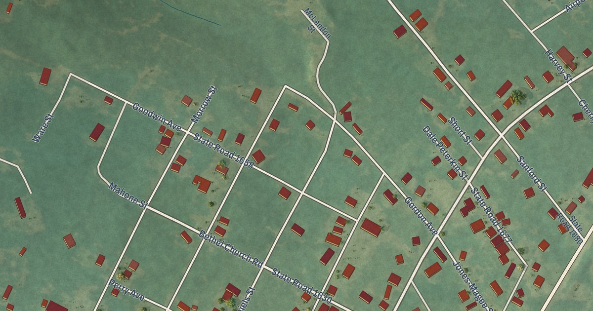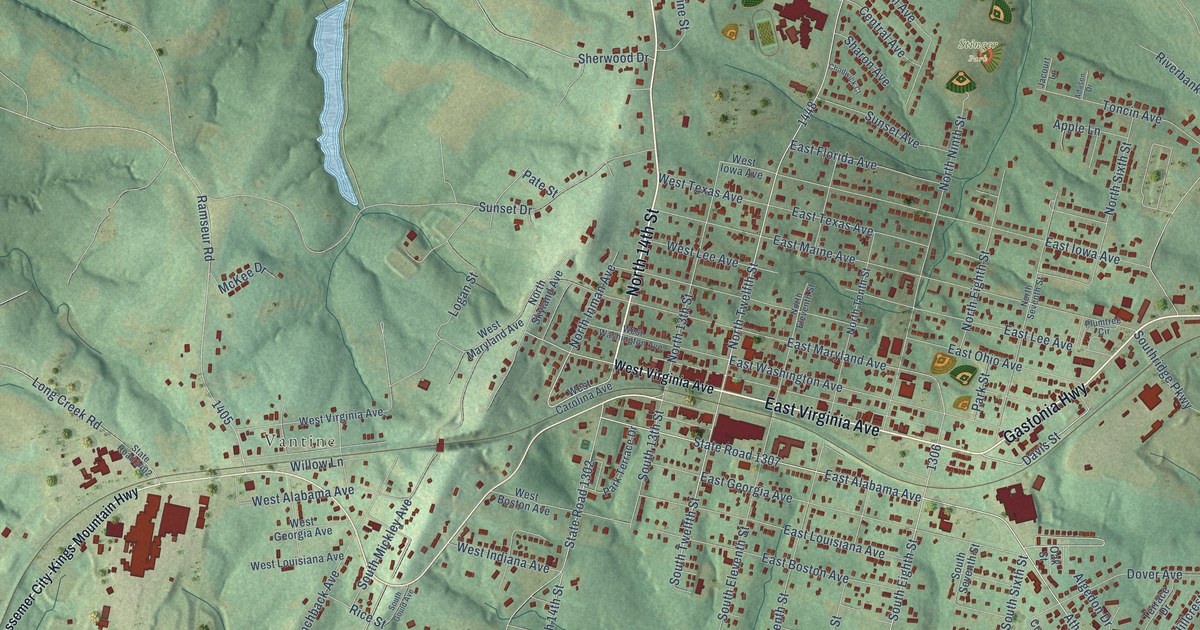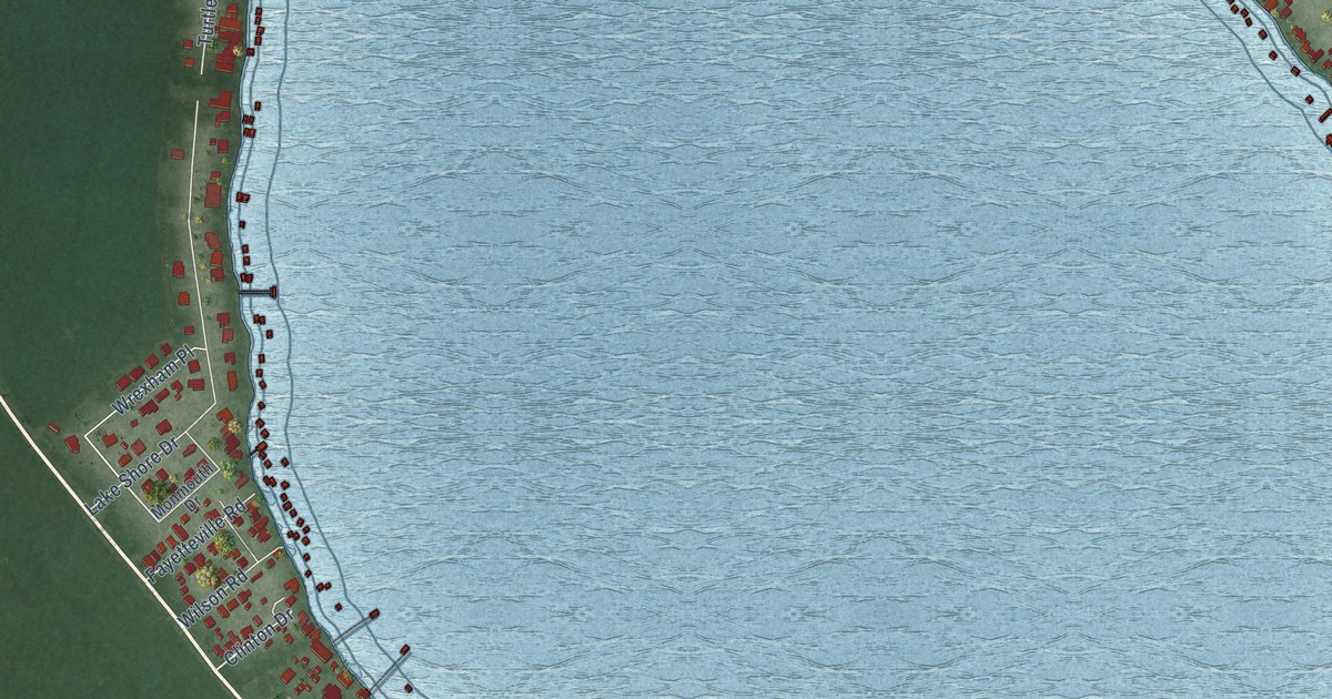
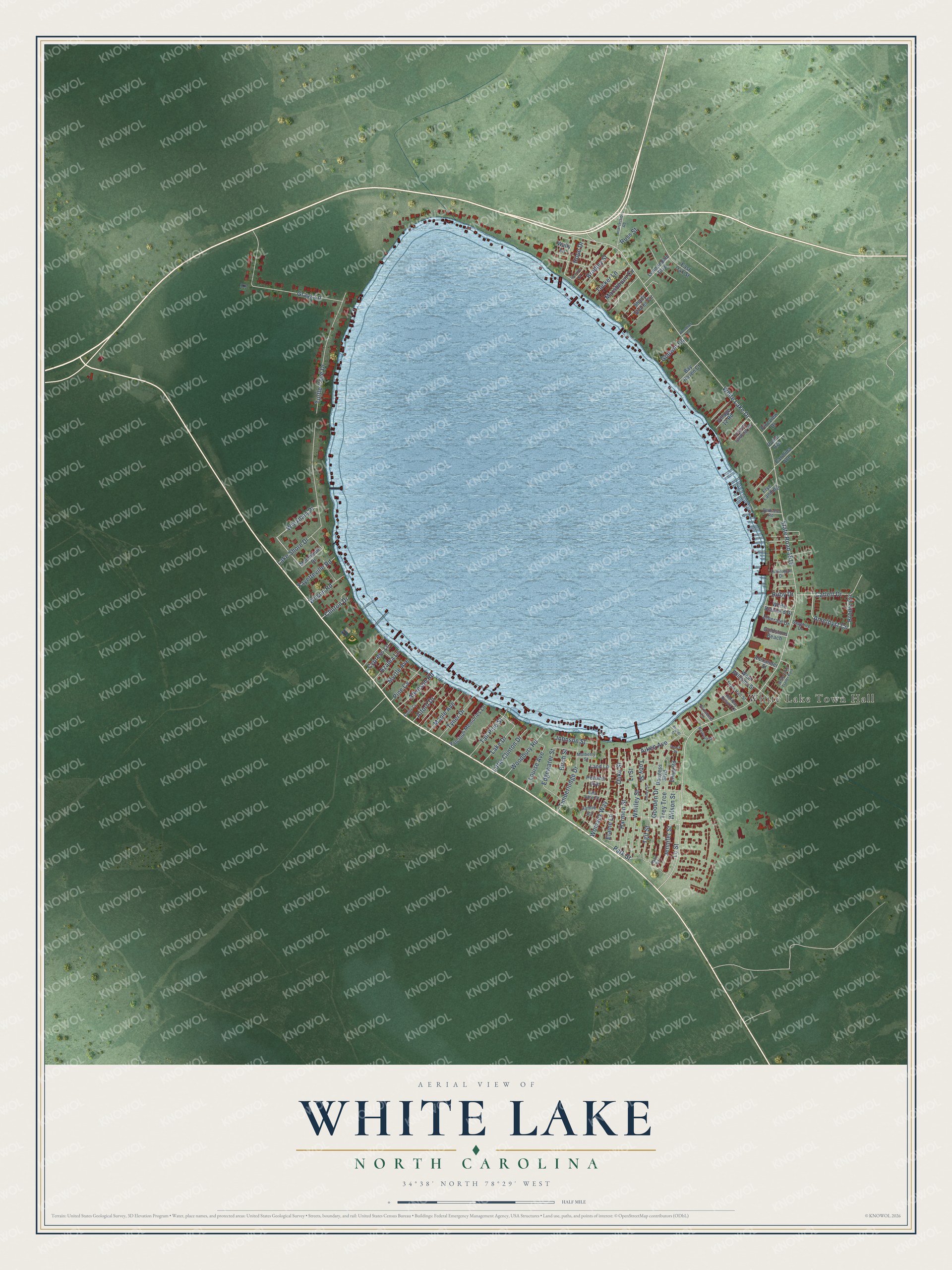
This beautifully detailed map of White Lake, North Carolina was created in 2026 using aerial imagery combined with modern topographical, census, street and landmark data. It's a modern aerial view of White Lake in Bladen County, North Carolina, that combines modern data with a vintage aesthetic. The roads feature printed names, and if you look closely you can find your exact house accurately shown in its correct location.
Explore an aerial view of White Lake, North Carolina
On this map you'll find White Lake Town Hall, Amethyst Circle, Brodie Circle, State Road 1515, White Lake Drive, Lake Shore Drive, Gooden Drive, Grays Lane, Turtle Cove Drive, Whitley Street, Toby Street, Lr Street, and more. Each red shape is a building, so zoom in on the preview and look for yours.
White Lake has a story worth telling. The record at dncr.nc.gov puts it this way: "The Tom Browne Camp, north of Asheville at a former Civilian Conservation Corps (the CCC also had a camp at White Lake) camp, was established in 1937 and sold in 1978."
White Lake is a town in Bladen County. The Census Bureau counted 843 people here in 2020.
Take a closer look at the White Lake map
Names on this map
These names are printed on this map.
Places: White Lake Town Hall and White Lake Trailer Park.
Streets and roads: Amethyst Circle, Brodie Circle, State Road 1515, White Lake Drive, Lake Shore Drive, Gooden Drive, Grays Lane, Turtle Cove Drive, Whitley Street, Toby Street, Lr Street, Park Street.
More street names, A to Z
Aiken Avenue, Alexander Street, Alford Drive, Angier Street, Atkinson Road, Azalea Lane, Baugess Boulevard, Bay Haven Court, Bedsole Road, Birch Street, Bradley Street, Carolina Avenue, Catlett Drive, Clinton Drive, Coney Street, Culbreth Landing Road, Cypress Lane, Duke Street, Dunnagan Drive, East Oak Street, Edgewater Street, Elaine Lane, Elizabeth Lane, Emerald Drive, Ennis Road, Eula Jane Street, Fayetteville Road, Frye Landing, Godwin Road, Goldstons Beach, Harmon Street, Holiday Resort Lane, Holland Avenue, Hope Drive, Horizon Drive, Intersection Road, Jamie Jct, Jennifer Street, Johnson Street, Lake Drive, Land Lane, Lc Street, Lennondale Boulevard, Little Clinton Drive, Louise Avenue, Maple Avenue, Marshburn Circle, Melwood Drive, Monmouth Drive, Mulberry Street, Myrtle Avenue, Peace Place, Pine Cv, Pineview Drive, Poole Avenue, Precious Memories Lane, Ruby Drive, Russ Street, Ryan Road, Sandy Cv, Sapphire Drive, Shady Shores Circle, Tall Pine Street, Tgif Street, Timberlodge Drive, Town Hall Street, Trey Trce, Tucker Lane, Tyner Drive, Village 12 Road, Wally Lane, West Williams Street, White Diamond Drive, Wilson Road, Wilson Street, Womack Way, Woodbury Road, Woodlief Drive, Wrexham Place.
Created by KNOWOL in 2026. The buildings are small red shapes, the roads carry their printed names, and shaded relief shows the shape of the land. The title panel reads "AERIAL VIEW OF WHITE LAKE NORTH CAROLINA" with 34°38' NORTH 78°29' WEST.
It looks right in a kitchen, an office or a den, and it's a gift for anyone who grew up in White Lake or moved away. Open the preview and find your street. See sizes and frames for the White Lake map.