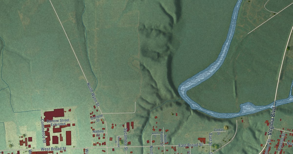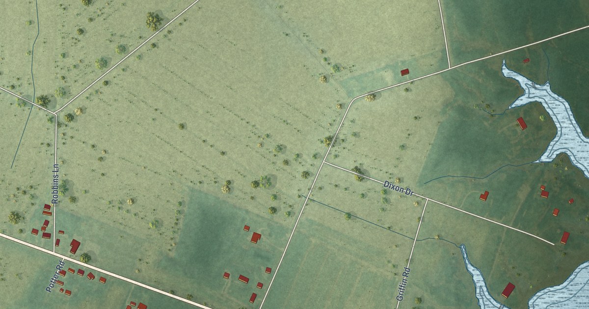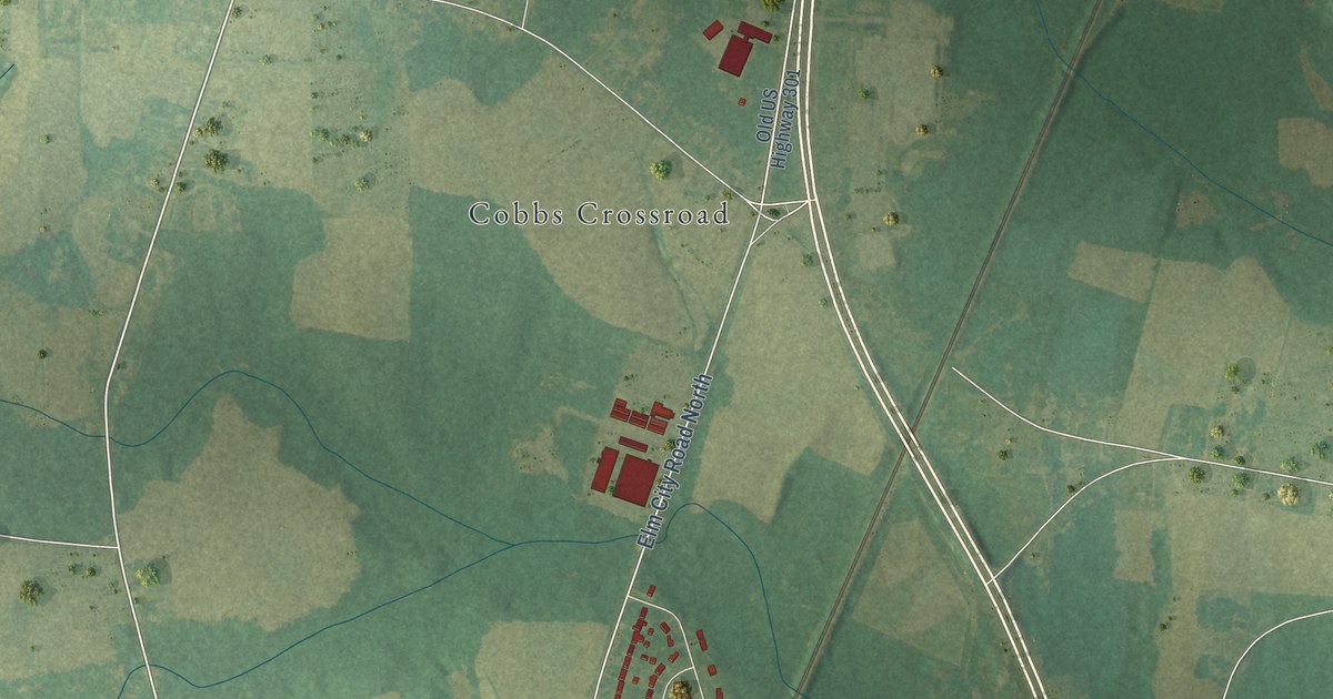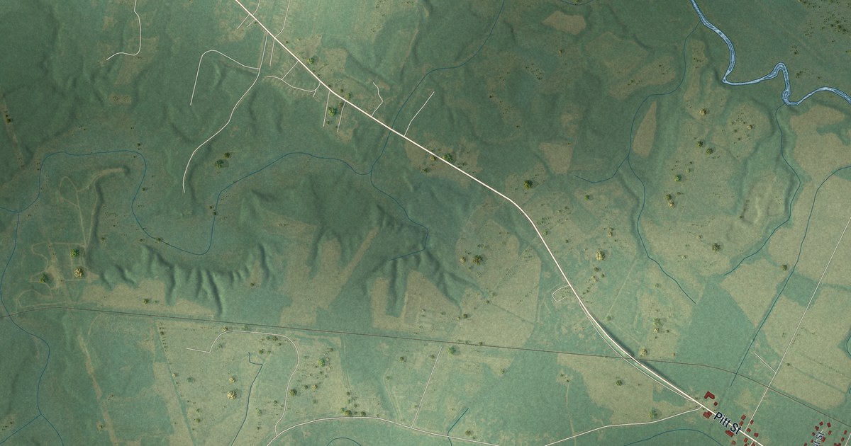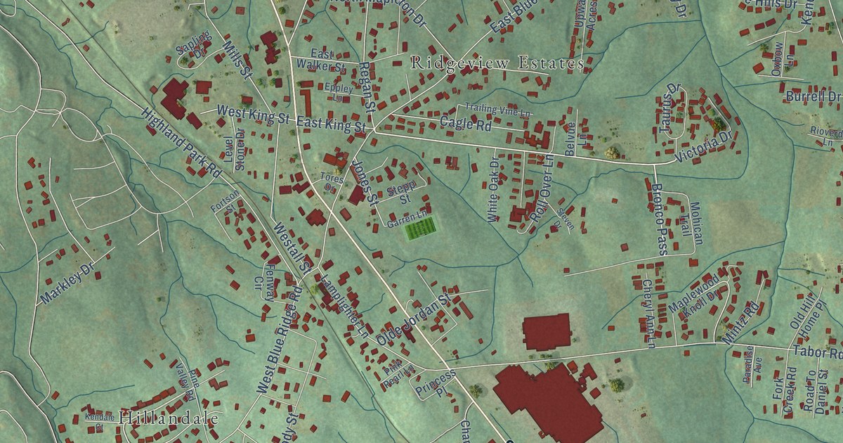
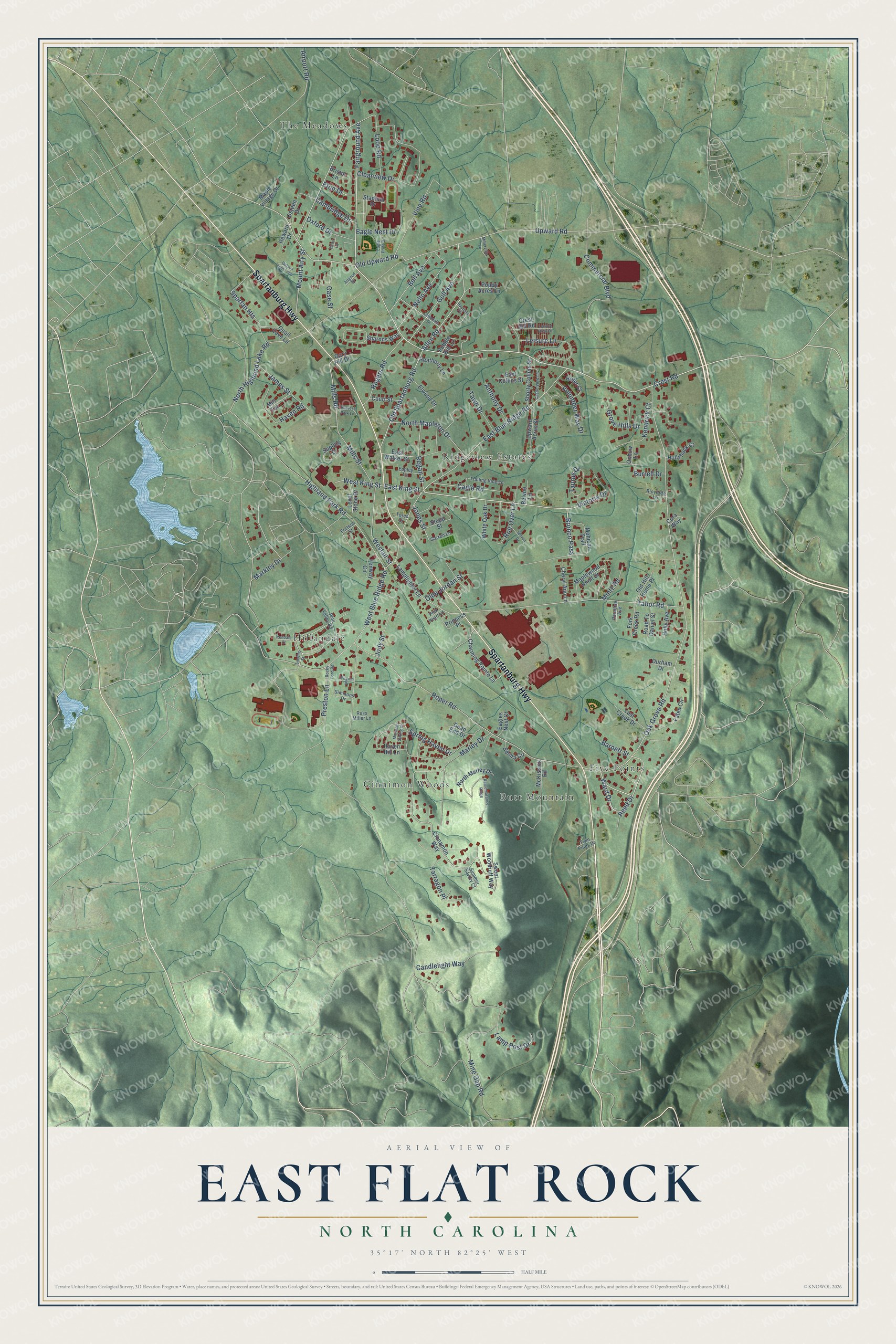
This beautifully detailed map of East Flat Rock, North Carolina was created in 2026 using aerial imagery combined with modern topographical, census, street and landmark data. It's a modern aerial view of East Flat Rock in Henderson County, North Carolina, that combines modern data with a vintage aesthetic. The roads feature printed names, and if you look closely you can find your exact house accurately shown in its correct location.
Explore an aerial view of East Flat Rock, North Carolina
On this map you'll find Butt Mountain, Cinnimon Woods, Five Points, Hillandale, Ridgeview Estates, The Meadows, Spartanburg Highway, Fairground Avenue, Bronco Pass, Old Spartanburg Road, Crest Road, Allen Road, and more. Each red shape is a building, so zoom in on the preview and look for yours.
East Flat Rock has a story worth telling. The North Carolina Gazetteer puts it this way: "East Flat Rock former town in central Henderson County. Alt. 2,214. Inc. 1926; charter repealed by local action, 1948, and by act of the General Assembly, 1949. Est. as a commercial adjunct to the residential community of Flat Rock, which see."
East Flat Rock is a community in Henderson County. The Census Bureau counted 5,757 people here in 2020.
Take a closer look at the East Flat Rock map
Names on this map
These names are printed on this map.
Places: Butt Mountain, Cinnimon Woods, Five Points, Hillandale, Ridgeview Estates and The Meadows.
Streets and roads: Spartanburg Highway, Fairground Avenue, Bronco Pass, Old Spartanburg Road, Crest Road, Allen Road, East King Street, Commercial Boulevard, Mills Road, West King Street, Oak Grove Road, Mine Gap Road.
More street names, A to Z
Airport Road, Allgood Drive, Anthony Drive, Barnett Street, Bell Avenue, Belvue Lane, Bristol Lane, Burrell Drive, Cagle Road, Cambridge Drive, Candlelight Way, Case Street, Castle View Lane, Charming Pointe Lane, Cheryl Ann Lane, Cinnamon Way, Clearview Drive, Cora Way, Court Street, Crest Hill Road, Dead End Drive, Dono Lane, Dotson Half Loop, Durham Drive, Eagle Nest Drive, Eagle Pride Drive, Eagles Nest Court, East Blue Ridge Road, East Collins Street, East Walker Street, Elwood Drive, Eppley Lane, Eton Drive, Fates Circle, Fenway Circle, Fork Creek Road, Fortson Street, Garren Lane, Gary Hill Drive, Grove Hills Drive, Gull Avenue, Harvest Park Lane, Haven Hill Lane, Haven Road, Hayfield Circle, Heatherly Lane, Highland Park Road, Hofer Court, Holly Avenue, Hollyhock Court, James Street, Jody Street, Jones Street, Kendale Court, Kendrick Court, Lamplighter Lane, Lamp Post Drive, Lawndale Drive, Leisure Lane, Leisure View Drive, Level Stone Drive, Loop Road, Lost Creek Drive, Maple Village Drive, Maplewood Knoll Drive, Markley Drive, Marley Drive, McKissick Road, Millerville Lane, Mills Street, Mill Terrace, Mintz Road, Mohican Trail, Morning Spring Drive, Mount Airy Street, Nello Avenue, North Highland Lake Road, North Mapleton Drive, North Marley Drive, Olde Jordan Street, Old Hill Home Place, Old Upward Road, Osteen Drive, Oxbow Lane, Oxford Drive, Paradise Avenue, Pebble Hill Lane, Pilgrim Drive, Pine Valley Road, Pink Pearl Lane, Poppy Acres Lane, Preston Lane, Princess Place, Quail Cove Lane, Reed Drive, Regan Street, Remembrance Ridge, Reward Drive, Rioverde Lane, Road To Daniel Street, Rocky Ford Road, Rogers Road, Roll Over Lane, Roper Road, Russ Miller Lane, Sapling Drive, Selma Circle, Sharons Way, Shorty Collins Street, Simmons Drive, Smythe Street, Spartan Heights, Spring Haven Drive, Stadium Drive, Stepp Street, Steven Drive, Summer Savory Court, Sweet Woodruff Way, Tabor Road, Tarragon Place, Taurus Drive, Tawn Drive, Tores Drive, Trailing Vine Lane, Twin Pines Drive, Upward Acres Street, Upward Road, Victoria Drive, Vine Road, Volunteer Way Drive, Ward Drive, Westall Street, West Blue Ridge Road, White Oak Drive.
Created by KNOWOL in 2026. The buildings are small red shapes, the roads carry their printed names, and shaded relief shows the shape of the land. The title panel reads "AERIAL VIEW OF EAST FLAT ROCK NORTH CAROLINA" with 35°17' NORTH 82°25' WEST.
It looks right in a kitchen, an office or a den, and it's a gift for anyone who grew up in East Flat Rock or moved away. Open the preview and find your street. See sizes and frames for the East Flat Rock map.