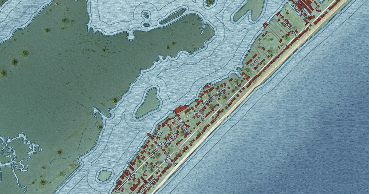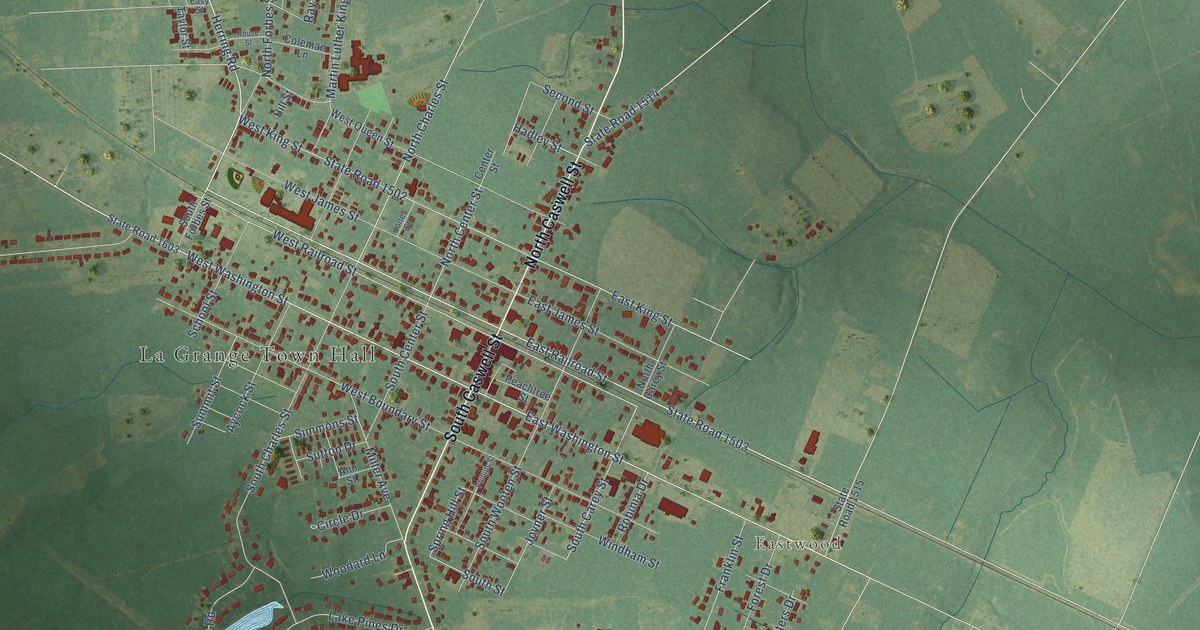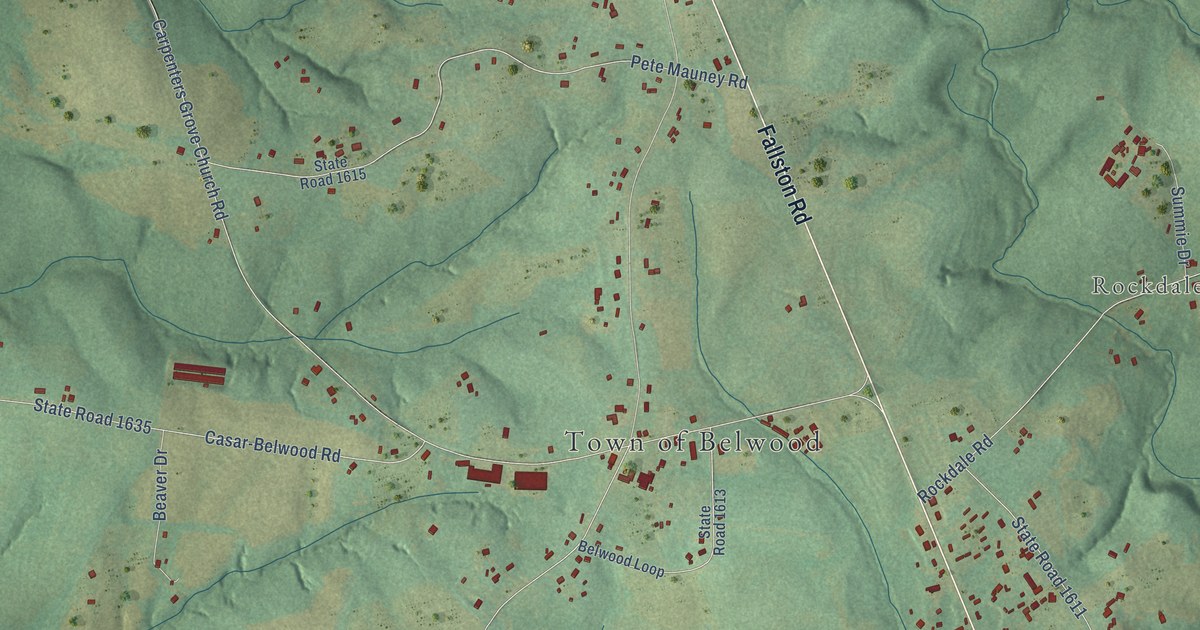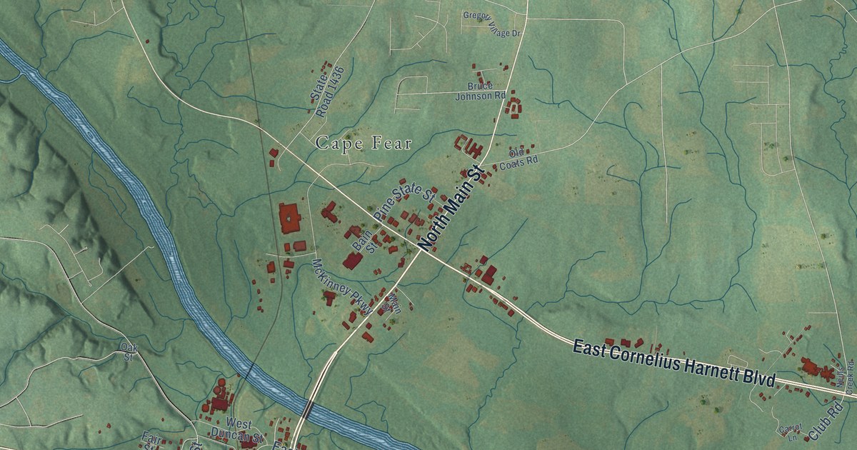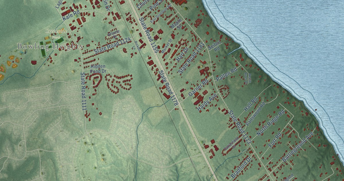
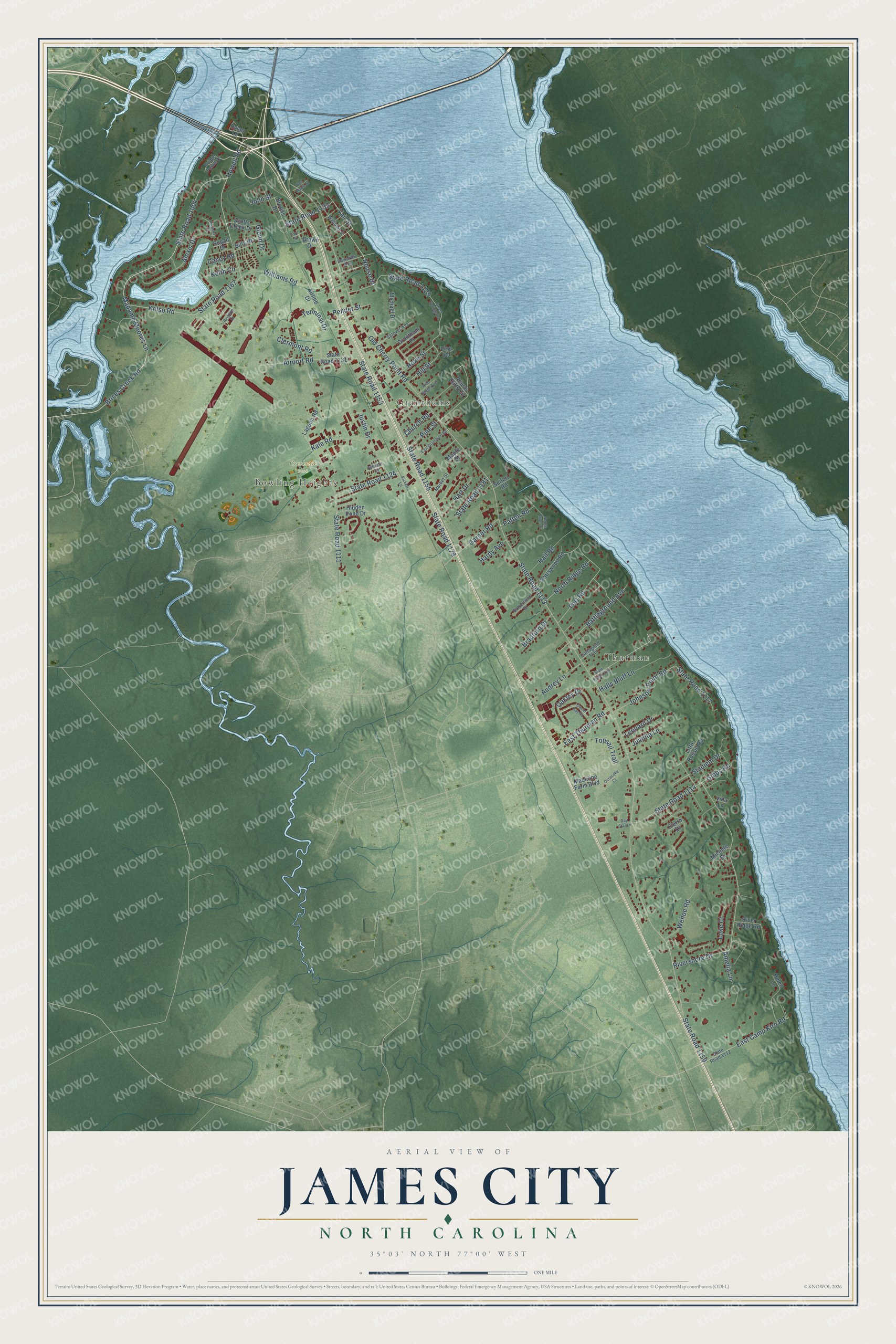
This beautifully detailed map of James City, North Carolina was created in 2026 using aerial imagery combined with modern topographical, census, street and landmark data. It's a modern aerial view of James City in Craven County, North Carolina, that combines modern data with a vintage aesthetic. The roads feature printed names, and if you look closely you can find your exact house accurately shown in its correct location.
Explore an aerial view of James City, North Carolina
On this map you'll find Bowling Heights, Granthams, Thurman, Creekside Park, Howell Road, State Road 1004, Madame Moores Lane, Brices Creek Road, State Road 1153, Neuse Drive, State Road 1133, Vail Street, and more. Each red shape is a building, so zoom in on the preview and look for yours.
Every town has a first chapter, and James City is no exception. The record at ncpedia.org puts it this way: "James City in Craven County evolved during the Civil War and Reconstruction years as an independent community of Black and African American North Carolinians , most of whom had been formerly enslaved."
James City is a community in Craven County. The Census Bureau counted 5,291 people here in 2020.
Take a closer look at the James City map
Names on this map
These names are printed on this map.
Places: Bowling Heights, Granthams, Thurman and Creekside Park.
Streets and roads: Howell Road, State Road 1004, Madame Moores Lane, Brices Creek Road, State Road 1153, Neuse Drive, State Road 1133, Vail Street, State Road 1167, Kelso Road, Old Cherry Point Road, State Road 1113.
More street names, A to Z
Airline Drive, Airport Road, Alexis Drive, Allante Drive, Amanda Court, Amelia Lane, Audrey Lane, Aviation Drive, Battleground Avenue, Billy Drive, Bradford Drive, Bridge Pointe Drive, Brooks Drive, Brown Drive, Carragood Trail, Casey Road, Church Road, Clermont Road, Day Star Lane, Dylan Lane, East Camp Kiro Road, East Grantham Road, East Maple Street, East Thurman Road, Edwards Avenue, Ford Street, Fort Road, Garner Road, Gibbs Road, Glenn Drive, Grantham Place, Green Springs Road, Hall Road, Halls Bluff Lane, Hardy Avenue, Hart Drive, Helen Lane, Hidden Pond Drive, Hill Street, Hoke Street, Johnson Point Road, John Street, Juanita Lane, Justin Drive, Kale Road, Keith Circle, Lagoon Road, Leonard Drive, Little Rossie Road, Luke Court, Madeline Farm Boulevard, Maple Street, Market Street, Michael Drive, Michele Drive, Neuse Cliffs Circle, Neuse River Drive, North Ridge Road, Oakley Drive, Ocracoke Court, Patten Road, Pattswood Road, Pender Street, Pickett Lane, Pine Ridge Avenue, Pine Road, Pine Street, River Ridge Road, Rivershore Drive, Satterfield Drive, Scotts Creek Drive, Seifert Road, Selover Avenue, Sierra Drive, Stadiem Drive, State Road 1111, State Road 1112, State Road 1114, State Road 1117, State Road 1124, State Road 1129, State Road 1131, State Road 1155, State Road 1159, State Road 1164, State Road 1178, State Road 1181, Susan Drive, Sweet Bay Road, Terminal Drive, Topsail Trail, Vida Lane, Wehoe Road, Williams Road, Williams Street.
Created by KNOWOL in 2026. The buildings are small red shapes, the roads carry their printed names, and shaded relief shows the shape of the land. The title panel reads "AERIAL VIEW OF JAMES CITY NORTH CAROLINA" with 35°03' NORTH 77°00' WEST.
Hang it in the hallway, the office or the cabin, or give it to someone who left James City and still calls it home. Open the preview and look for a street you know. See sizes and frames for the James City map.