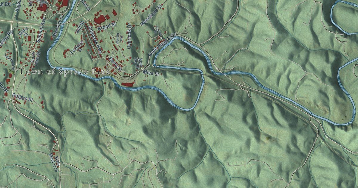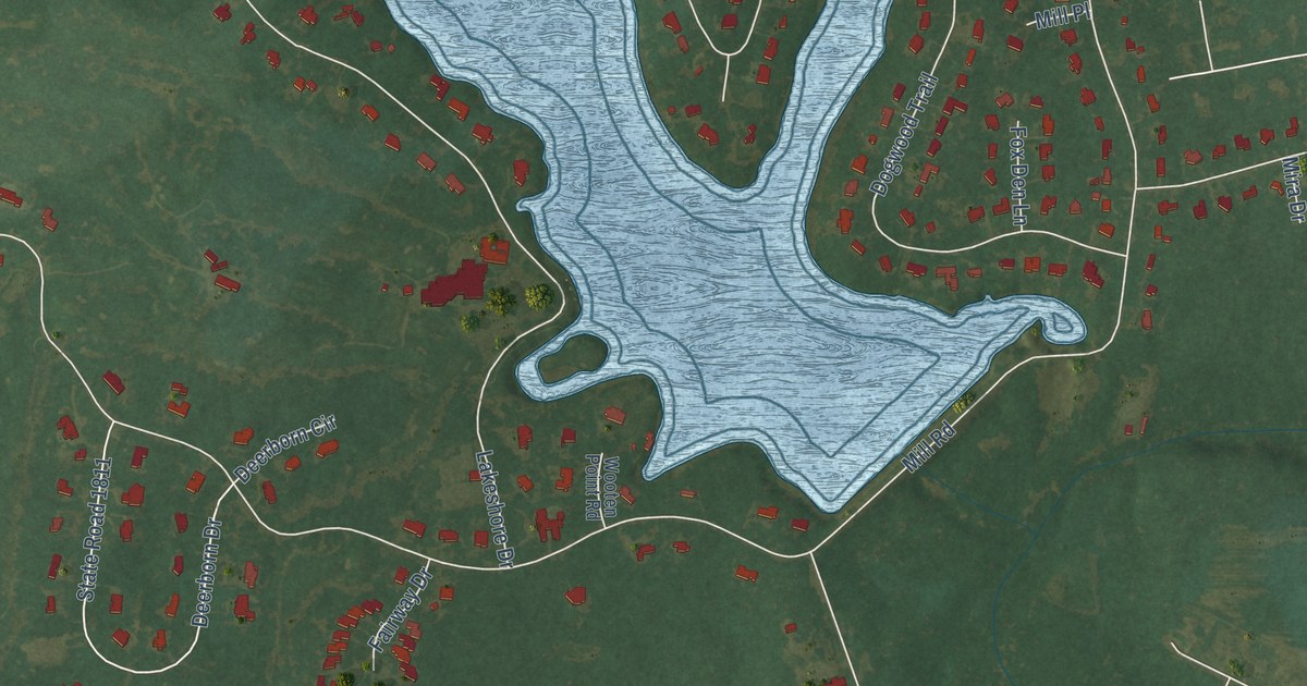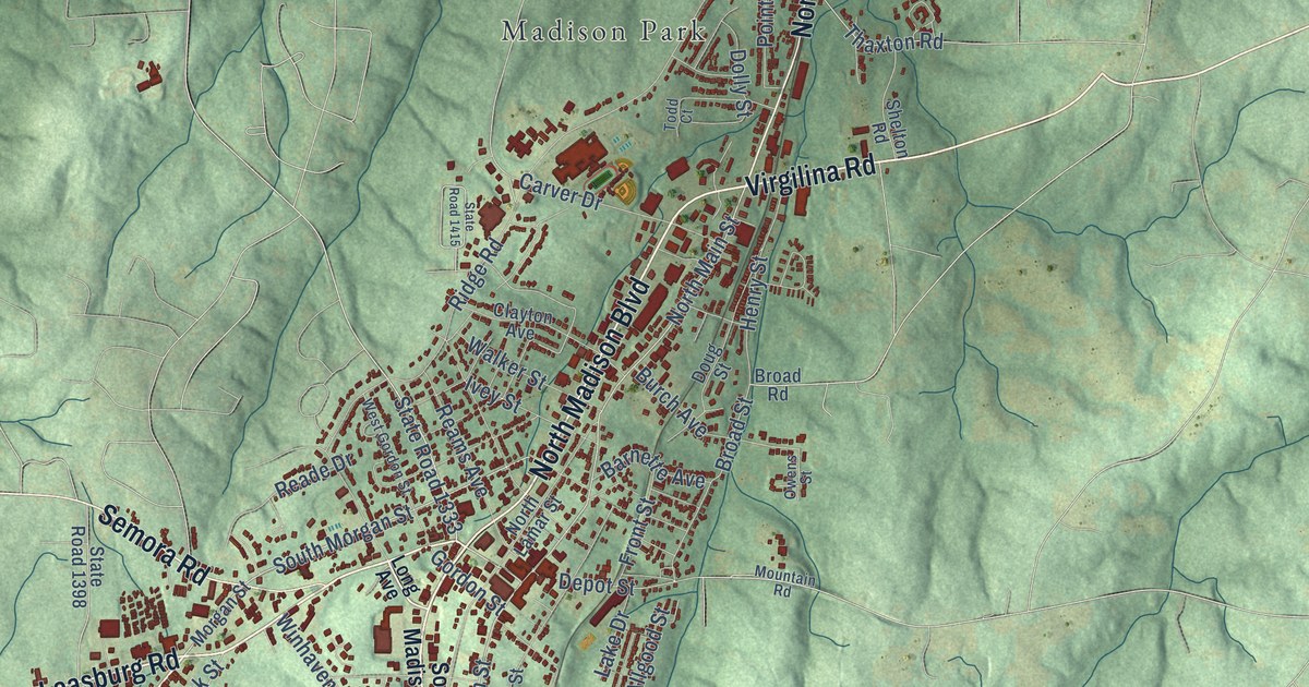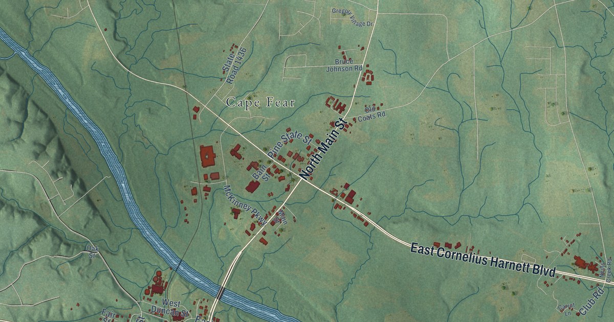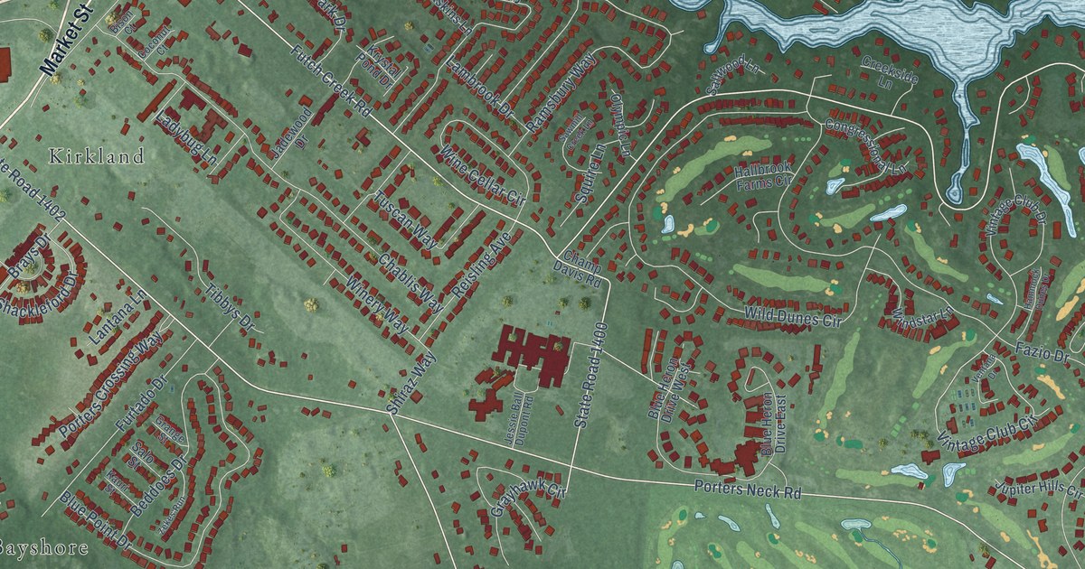
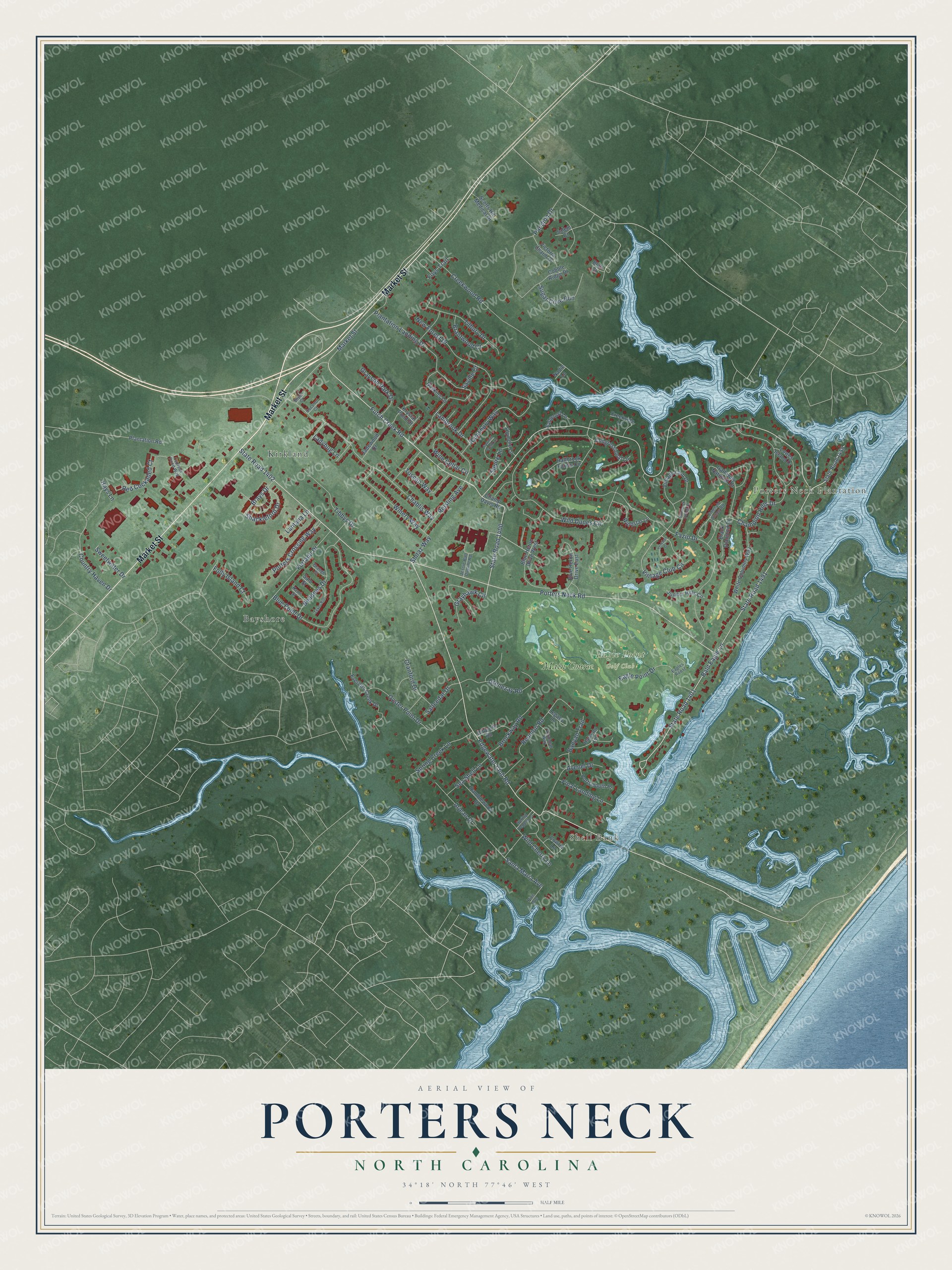
This beautifully detailed map of Porters Neck, North Carolina was created in 2026 using aerial imagery combined with modern topographical, census, street and landmark data. It's a modern aerial view of Porters Neck in New Hanover County, North Carolina, that combines modern data with a vintage aesthetic. The roads feature printed names, and if you look closely you can find your exact house accurately shown in its correct location.
Explore an aerial view of Porters Neck, North Carolina
On this map you'll find Porters Neck Plantation, Shell Bank, Eagle Point Golf Club, Bayshore, Kirkland, Main Course, Market Street, Porters Neck Road, Bald Eagle Lane, State Road 1401, Futch Creek Road, State Road 1400, and more. Each red shape is a building, so zoom in on the preview and look for yours.
Every town has a first chapter, and Porters Neck is no exception. The NC Highway Historical Marker Program puts it this way: "With a sizeable farming operation at Porters Neck Plantation in the Cape Fear region, Nicholas N. Nixon perfected techniques by the mid-1850s that made peanut production a specialized and profitable business."
Porters Neck is a community in New Hanover County. The Census Bureau counted 7,397 people here in 2020.
Take a closer look at the Porters Neck map
Names on this map
These names are printed on this map.
Places: Porters Neck Plantation, Shell Bank, Eagle Point Golf Club, Bayshore, Kirkland and Main Course.
Streets and roads: Market Street, Porters Neck Road, Bald Eagle Lane, State Road 1401, Futch Creek Road, State Road 1400, State Road 1402, Edgewater Club Road, Shiraz Way, Vintage Club Circle, Ramsbury Way, Santa Maria Avenue.
More street names, A to Z
Arjean Drive, Avenel Drive, Banyan Trail, Beddoes Drive, Bison Court, Black Diamond Drive, Blue Heron Drive East, Blue Heron Drive West, Blue Point Drive, Bluff Court, Brantwood Court, Brays Drive, Brockway Road, Chablis Way, Champ Davis Road, Champion Hills Drive, Cobble Ridge Drive, Coconut Court, Congressional Lane, Country Haven Drive, Cowrie Lane, Cranford Drive, Creekside Lane, Creekwood Road, Cypress Pond Way, Dilworth Road, Eagle Point Drive, Eagles Roost, Emerald Dunes Road, Everetts Creek Drive, Fazio Drive, Final Landing Lane, Folly Island Court, Foys Trail, Furtado Drive, Galloway National Drive, Gaskins Lane, Grange Street, Grayhawk Circle, Grayson Park Drive, Grenezay Road, Halcyon Lane, Hallbrook Farms Circle, Hammock Dunes Drive, Hays Lane, Jadewood Drive, Jessie Ball Dupont Road, Jupiter Hills Circle, Kauri Street, Krystal Pond Drive, Ladybug Lane, Lambrook Drive, Lantana Lane, Legacy Lane, Lowes Island Drive, Nadie Lane, New Forest Drive, Olympic Lane, Oyster Point Drive, Pandion Drive, Pine Avenue, Plantation Landing Drive, Plantation Road, Porters Crossing Way, Portsmouth Place, Ramblewood Drive, Red Cockaded Court, Reisling Avenue, Reunion Road, Salem Court, Salo Street, Saltcedar Drive, Saltwood Lane, Saville Court, Sawmill Creek Lane, Scotts Hill Medical Drive, Sea Shell Lane, Shackleford Drive, Spring Creek Lane, Spring Pepper Lane, Squire Lane, State Road 1455, State Road 1491, Sugar Cove Run, Sweetwater Drive, Tibbys Drive, Tilbury Drive, Tuscan Way, Ventana Drive, Verandah Way, Victoria Charm Drive, Vintage Club Drive, White Columns Way, Wild Cherry Lane, Wild Dunes Circle, Windstar Lane, Wine Cellar Circle, Winery Way, Zekes Run.
Created by KNOWOL in 2026. The buildings are small red shapes, the roads carry their printed names, and shaded relief shows the shape of the land. The title panel reads "AERIAL VIEW OF PORTERS NECK NORTH CAROLINA" with 34°18' NORTH 77°46' WEST.
Hang it in the hallway, the office or the cabin, or give it to someone who left Porters Neck and still calls it home. Open the preview and look for a street you know. See sizes and frames for the Porters Neck map.