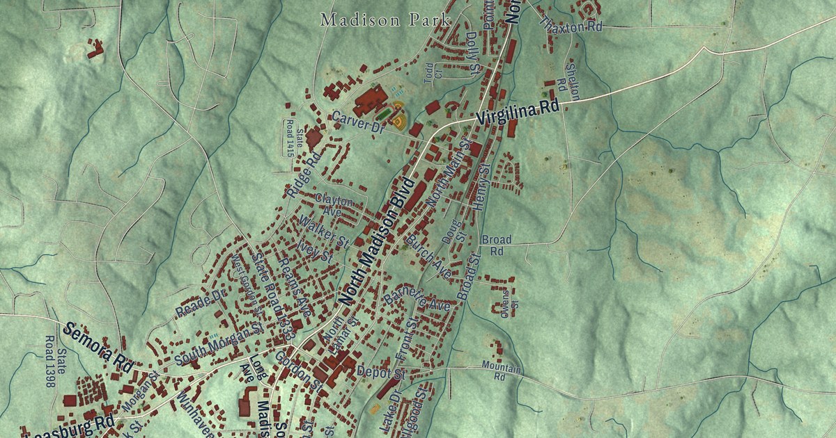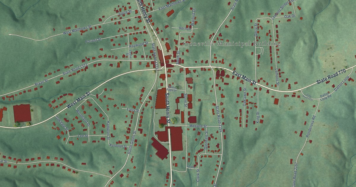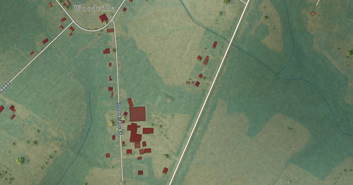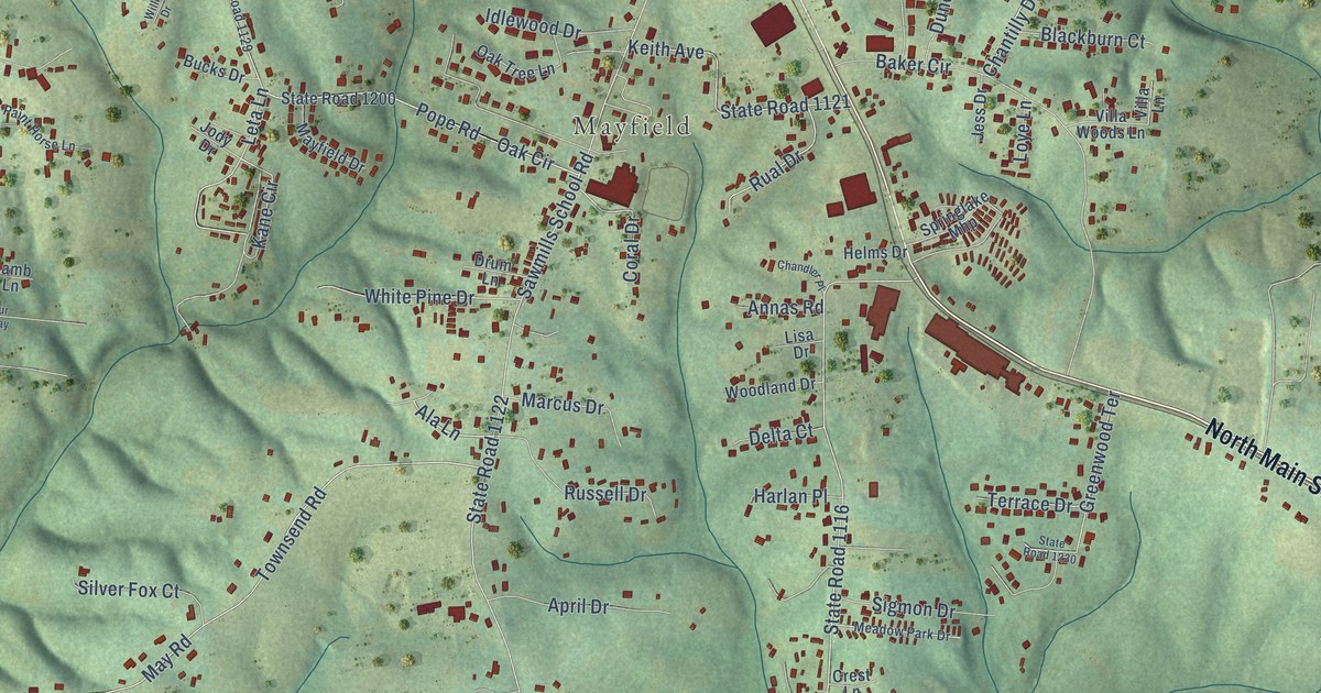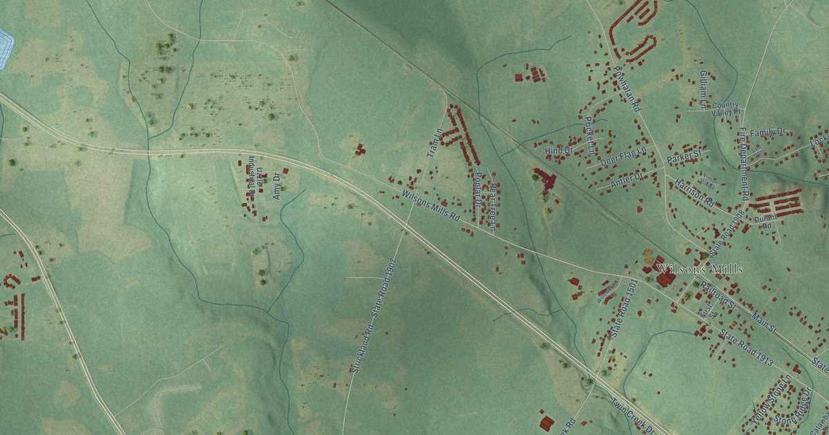
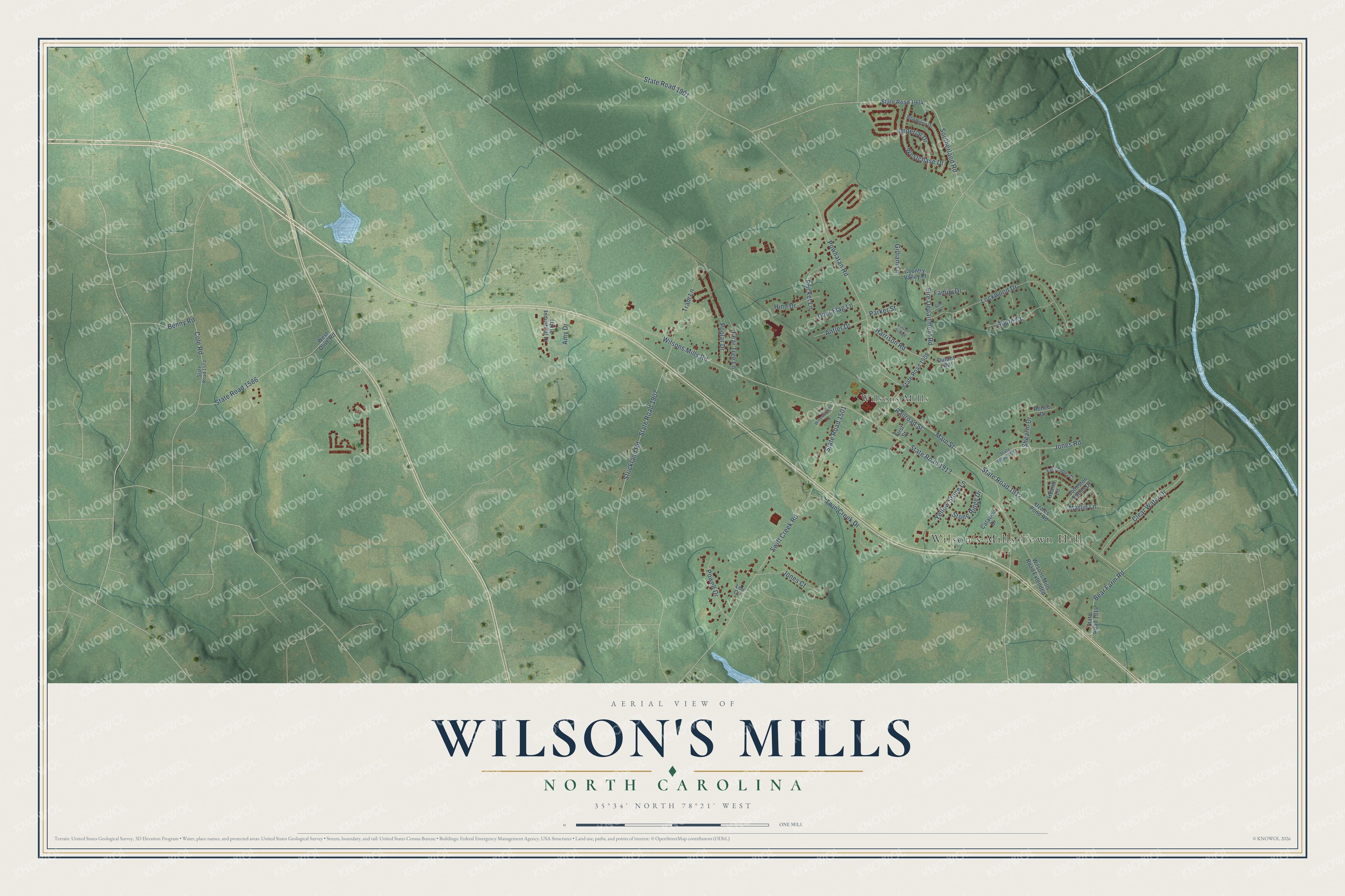
This beautifully detailed map of Wilson's Mills, North Carolina was created in 2026 using aerial imagery combined with modern topographical, census, street and landmark data. It's a modern aerial view of Wilson's Mills in Johnston County, North Carolina, that combines modern data with a vintage aesthetic. The roads feature printed names, and if you look closely you can find your exact house accurately shown in its correct location.
Explore an aerial view of Wilson's Mills, North Carolina
On this map you'll find Wilson's Mills Town Hall, Wilsons Mills, State Road 1913, Wilsons Mills Road, State Road 1501, Swift Creek Road, Powhatan Road, State Road 1901, State Road 1907, Strickland Road, Fire Department Road, Lockwood Drive, and more. Each red shape is a building, so zoom in on the preview and look for yours.
Wilson's Mills is a town in Johnston County. The Census Bureau counted 2,534 people here in 2020. The map prints the town name in its title panel, with the coordinates below it.
Take a closer look at the Wilson's Mills map
Names on this map
These names are printed on this map.
Places: Wilson's Mills Town Hall and Wilsons Mills.
Streets and roads: State Road 1913, Wilsons Mills Road, State Road 1501, Swift Creek Road, Powhatan Road, State Road 1901, State Road 1907, Strickland Road, Fire Department Road, Lockwood Drive, State Road 1912, Main Street.
More street names, A to Z
Amy Drive, Antler Drive, Apple Court, Bear Farm Road, Benny Road, Catawba Drive, Clear Water Drive, Cole Road, Country Valley Place, Deer Flag Lane, Durant Road, East Abbey Court, Family Drive, First Street, Gilliam Lane, Harrison Road, Hearth Lane, Hind Drive, Imperial Drive, Johnston Farms Drive, Jones Court, Jones Road, Lou Circle, Marlin Lane, Parker Street, Pear Tree Lane, Poplar Drive, Powell Drive, Pricket Lane, Railroad Street, Renee Drive, Sam Lane, Shearin Drive, Southerland Road, State Road 1573, State Road 1586, State Road 1904, State Road 1908, State Road 1911, State Road 1914, Stone Ridge Drive, Tram Lane, Twin Creek Drive, Uzzle Industrial Drive, Uzzles Pond Road, Vinson Village, Westchase Drive, West Olive Road, Willowbranch Lane, Wilsons Mills Road Extended, Woodglen Drive, Yellow Stone Lane.
Created by KNOWOL in 2026. The buildings are small red shapes, the roads carry their printed names, and shaded relief shows the shape of the land. The title panel reads "AERIAL VIEW OF WILSON'S MILLS NORTH CAROLINA" with 35°34' NORTH 78°21' WEST.
Hang it in the hallway, the office or the cabin, or give it to someone who left Wilson's Mills and still calls it home. Open the preview and look for a street you know. See sizes and frames for the Wilson’s Mills map.