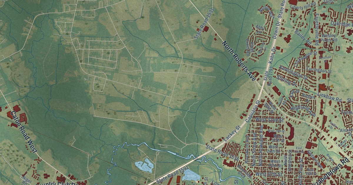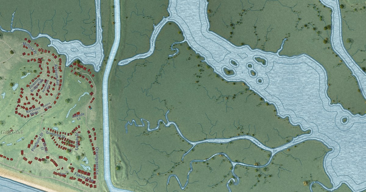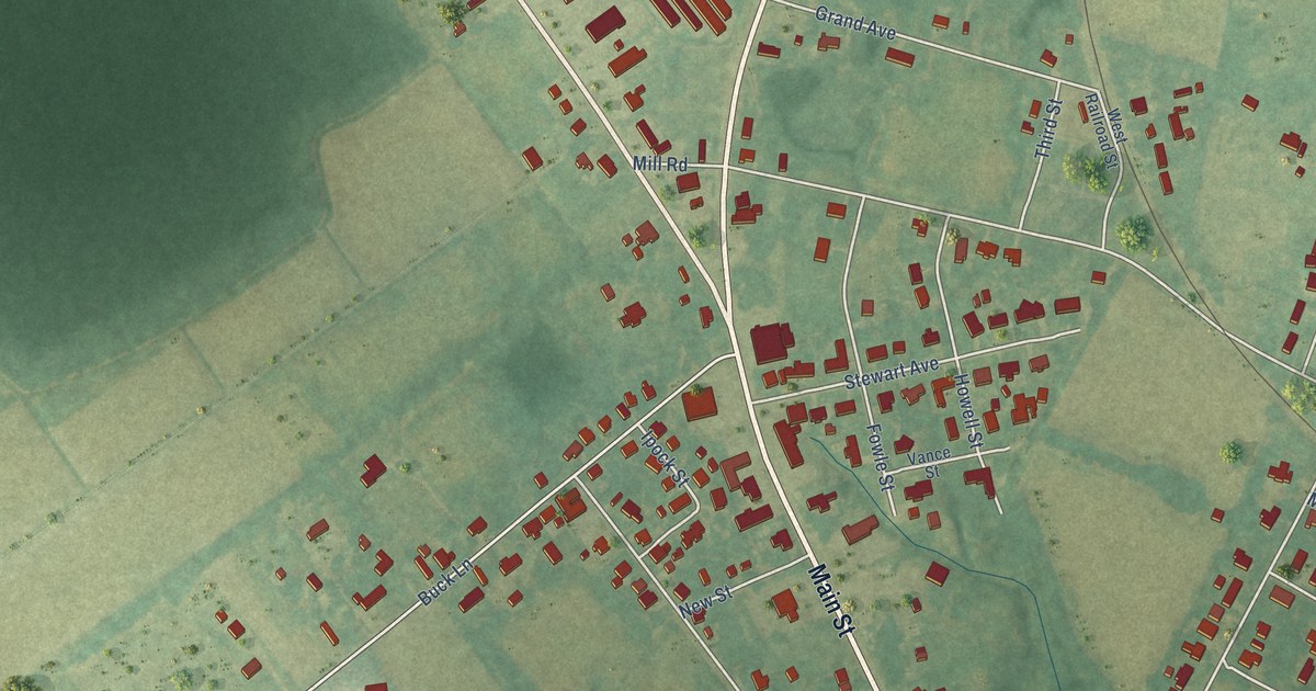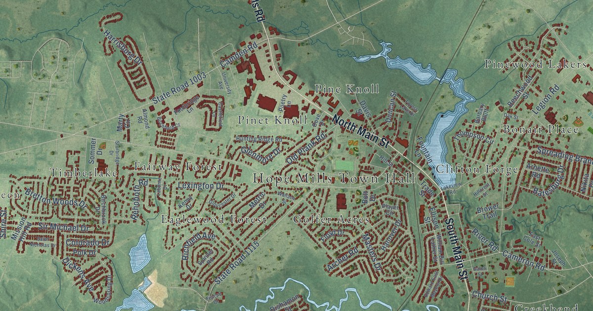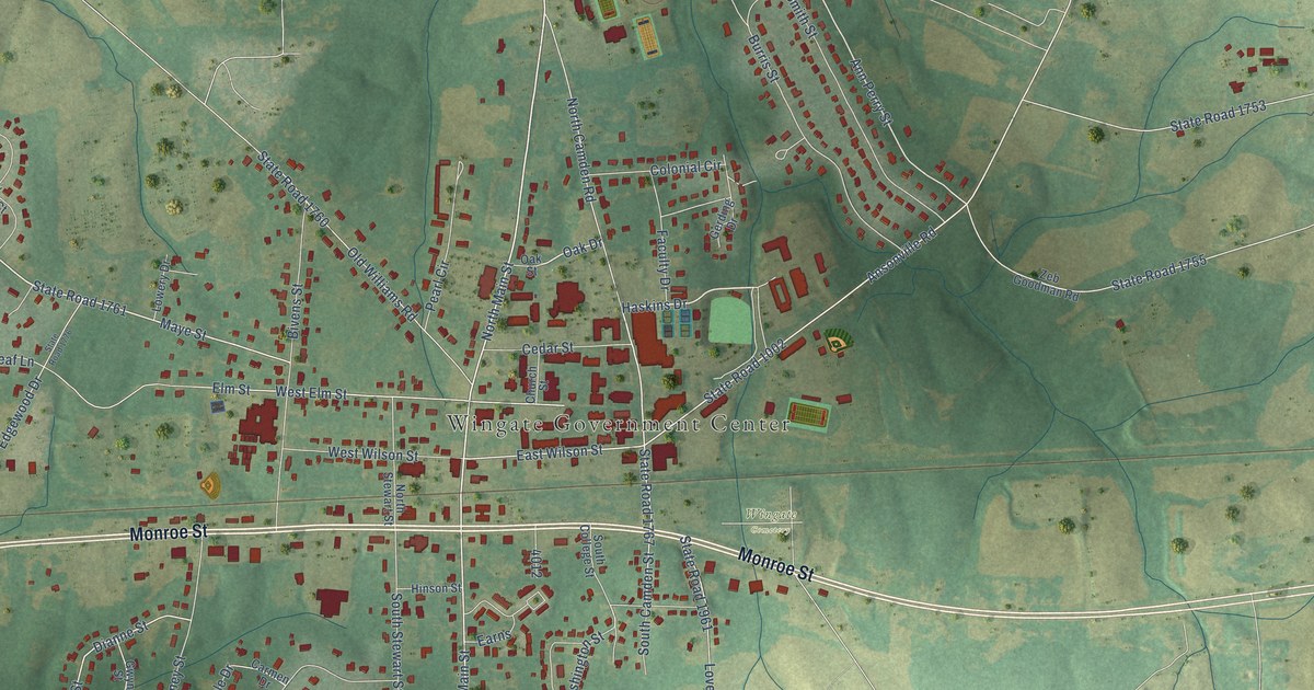
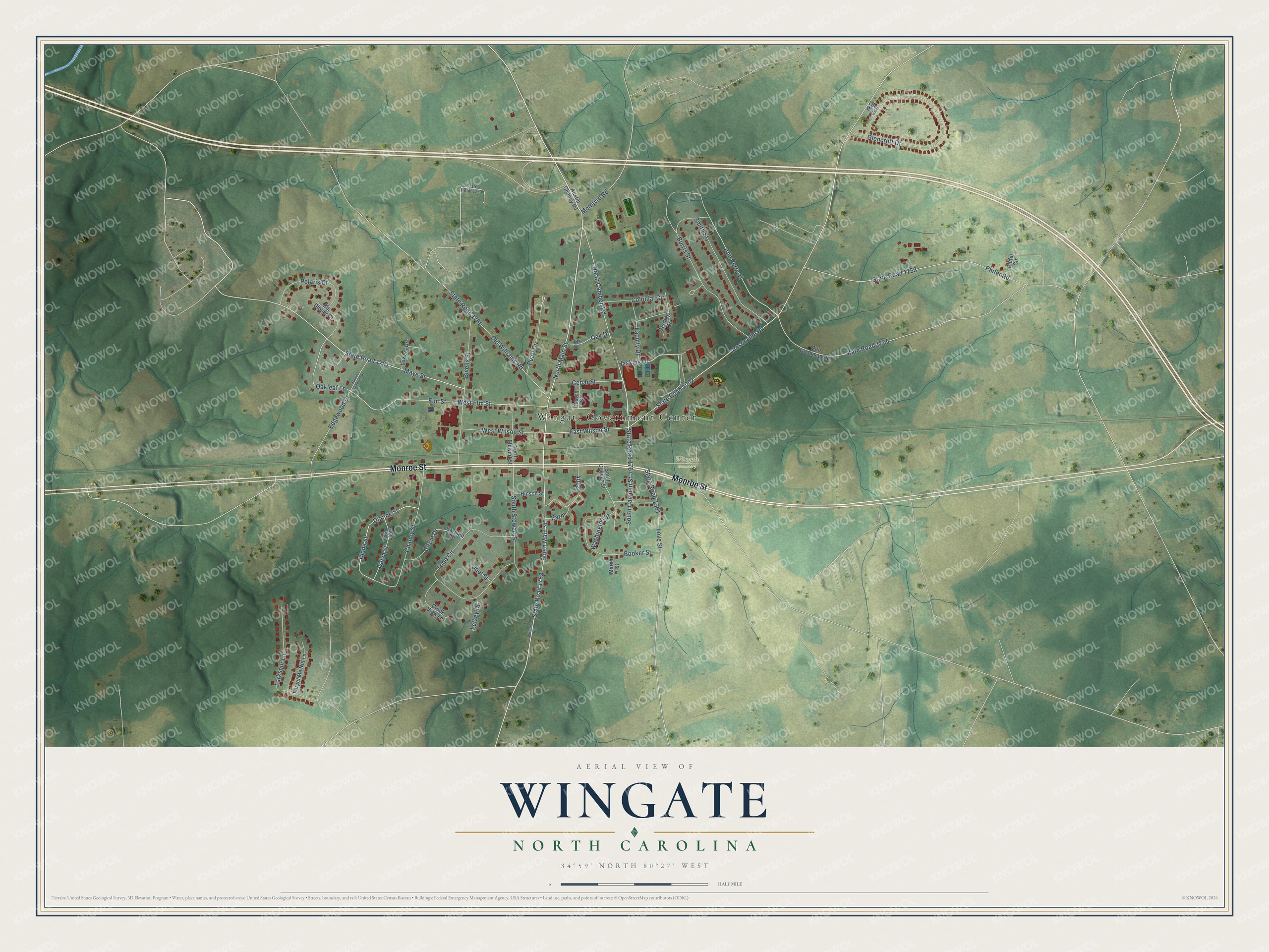
This beautifully detailed map of Wingate, North Carolina was created in 2026 using aerial imagery combined with modern topographical, census, street and landmark data. It's a modern aerial view of Wingate in Union County, North Carolina, that combines modern data with a vintage aesthetic. The roads feature printed names, and if you look closely you can find your exact house accurately shown in its correct location.
Explore an aerial view of Wingate, North Carolina
On this map you'll find Wingate Government Center, Wingate Cemetery, Monroe Street, Haskins Drive, State Road 1758, North Main Street, Maye Street, North Camden Road, State Road 1002, West Elm Street, Ann Perry Street, Diane Street, and more. Each red shape is a building, so zoom in on the preview and look for yours.
Here is a piece of Wingate history, in the words of the record. The record at dncr.nc.gov puts it this way: "Baptist. Est. as Wingate School in 1896; a junior college, 1923; became a senior college in 1977. University since 1995. Campus one block north."
Wingate is a town in Union County. The Census Bureau counted 4,055 people here in 2020.
Take a closer look at the Wingate map
Names on this map
These names are printed on this map.
Places: Wingate Government Center and Wingate Cemetery.
Streets and roads: Monroe Street, Haskins Drive, State Road 1758, North Main Street, Maye Street, North Camden Road, State Road 1002, West Elm Street, Ann Perry Street, Diane Street, Oakleaf Lane, State Road 1767.
More street names, A to Z
Ansonville Road, Austin Chaney Road, Big Dipper Court, Bivens Street, Booker Street, Burris Street, Carmen Drive, Cedar Street, Chaney Street, Church Street, Circle Drive, Colonial Circle, Creek View Lane, Dianne Street, Earns, East Wilson Street, Edgewood Drive, Elm Street, Faculty Drive, Forget Me Not Lane, Gaiya Street, Gerding Drive, Glencroft Drive, Gwyn Street, Hinson Street, Joel Street, Larkspur Lane, Lefsey Drive, Liles Way, Love Street, Lowery Drive, Marsh Street, McIntyre Road, North Stewart Street, Oak Drive, Oak Street, Old Williams Road, Pearl Circle, Phifer Circle, Phifer Road, Polaris Drive, Smith Street, South Camden Street, South College Street, South Main Street, South Stewart Street, State Road 1753, State Road 1755, State Road 1760, State Road 1761, State Road 1773, State Road 1776, State Road 1961, Todd Circle, Washington Street, West Wilson Street, Witmore Road, Zeb Goodman Road.
Created by KNOWOL in 2026. The buildings are small red shapes, the roads carry their printed names, and shaded relief shows the shape of the land. The title panel reads "AERIAL VIEW OF WINGATE NORTH CAROLINA" with 34°59' NORTH 80°27' WEST.
It suits a den, a classroom or a front hall, and it makes a gift for anyone with Wingate roots. Open the preview and find the block you know. See sizes and frames for the Wingate map.