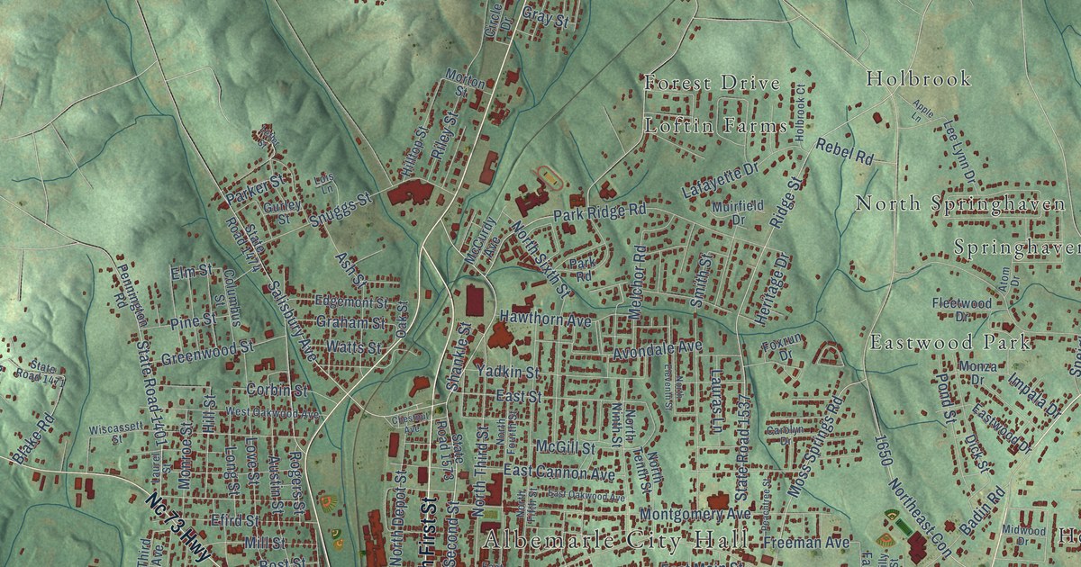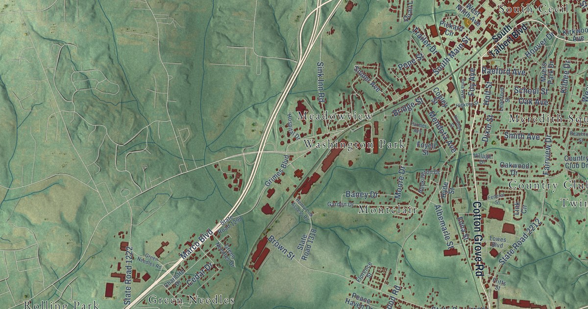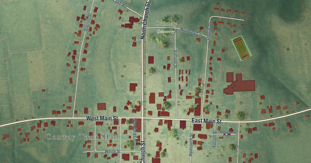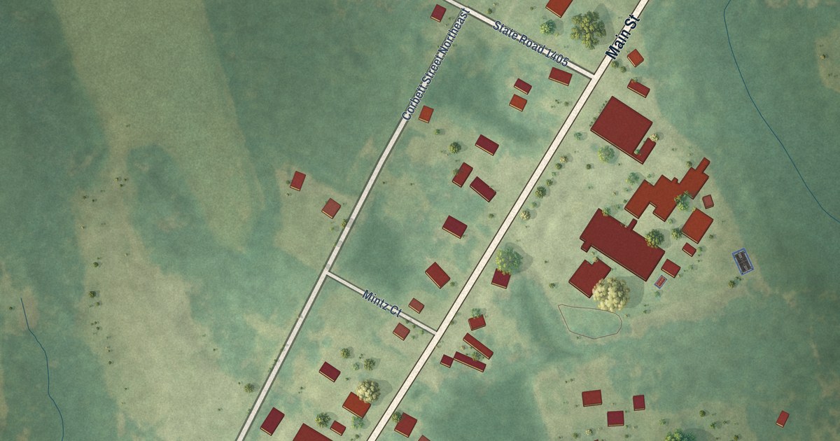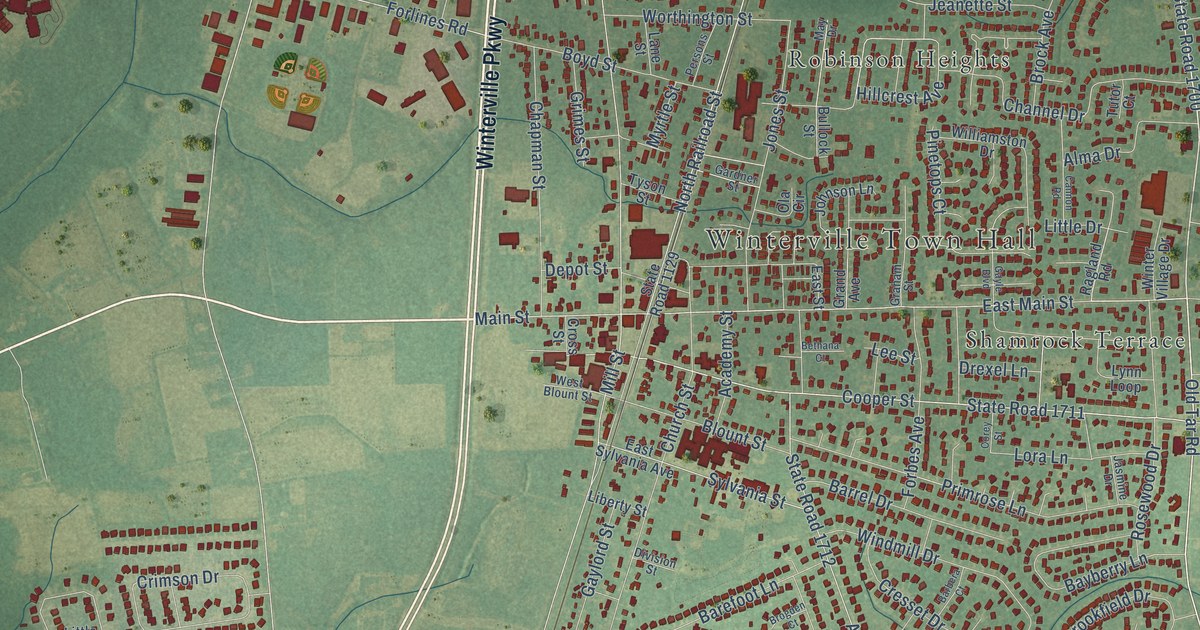
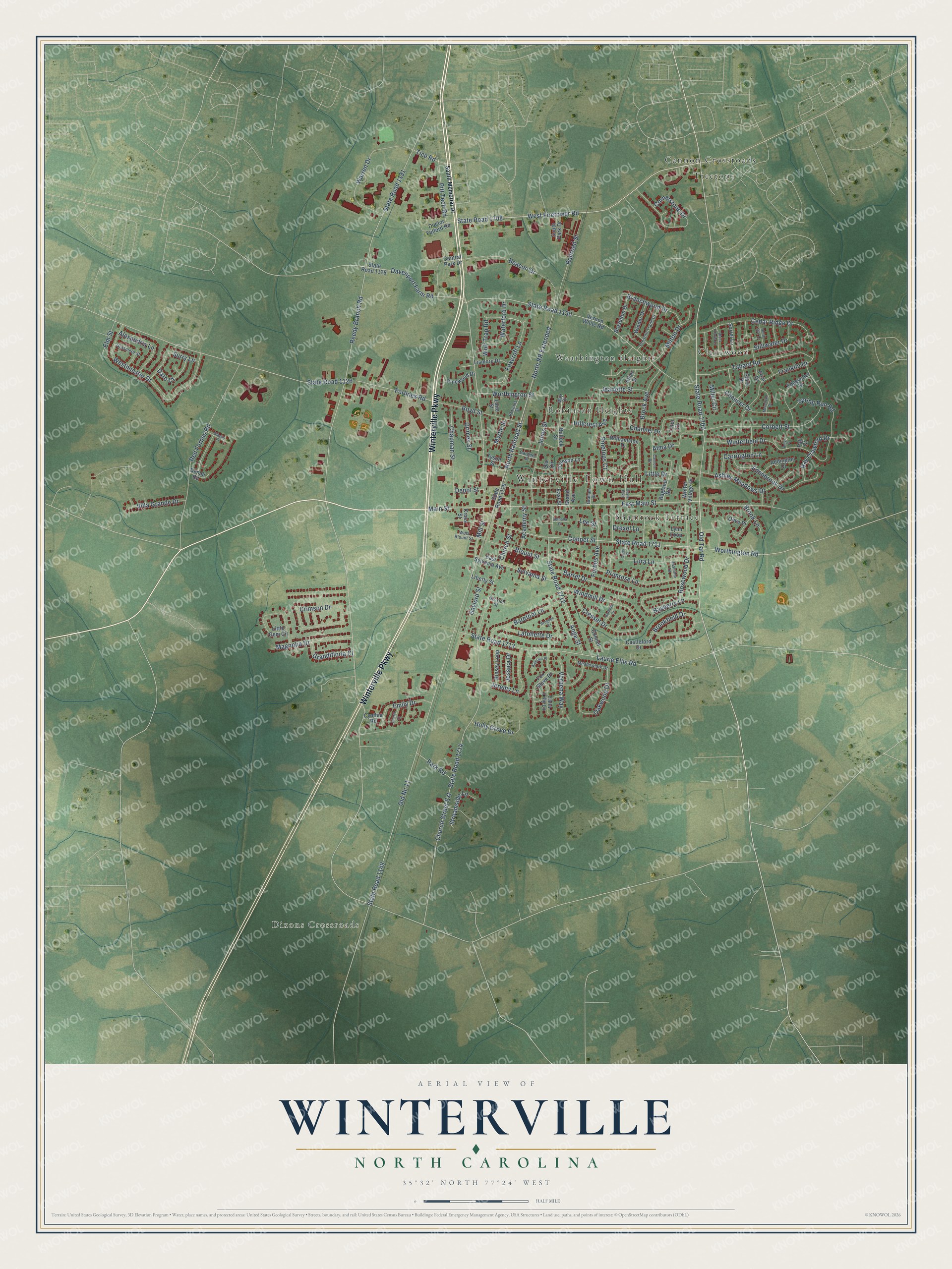
This beautifully detailed map of Winterville, North Carolina was created in 2026 using aerial imagery combined with modern topographical, census, street and landmark data. It's a modern aerial view of Winterville in Pitt County, North Carolina, that combines modern data with a vintage aesthetic. The roads feature printed names, and if you look closely you can find your exact house accurately shown in its correct location.
Explore an aerial view of Winterville, North Carolina
On this map you'll find Winterville Town Hall, Dixons Crossroads, Cannon Crossroads, Clevewood, Robinson Heights, Shamrock Terrace, Treetops, Weathington Heights, Winterville Parkway, State Road 1700, West Firetower Road, Old Tar Road, and more. Each red shape is a building, so zoom in on the preview and look for yours.
Every town has a first chapter, and Winterville is no exception. The Town of Winterville puts it this way: "The availability of current gave Winterville the distinction of being the first town in Pitt County to have electric lights which naturally spurred the growth of industry. Among the first companies were the Winterville Cotton Oil Company, a cigar factory, an automobile dealership selling the Reo, a buggy company and Mrs. Braxton's Millinery Shop."
Winterville is a town in Pitt County. The Census Bureau counted 10,462 people here in 2020.
Take a closer look at the Winterville map
Names on this map
These names are printed on this map.
Places: Winterville Town Hall, Dixons Crossroads, Cannon Crossroads, Clevewood, Robinson Heights, Shamrock Terrace, Treetops and Weathington Heights.
Streets and roads: Winterville Parkway, State Road 1700, West Firetower Road, Old Tar Road, Cooper Street, Main Street, North Railroad Street, Tice Road, North RR Extended, Worthington Road, Reedy Branch Road, State Road 1131.
More street names, A to Z
Academy Street, Addington Drive, Alexandria Lane, Alma Drive, Alyssum Place, Amy's Place, Ange Street, Ashley Meadows Drive, Barbera Court, Barefoot Lane, Barrel Drive, Bayberry Lane, Beacon Drive, Bethana Court, Black Horse Lane, Blount Street, Boyd Street, Branchwood Drive, Braselton Drive, Brock Avenue, Brogden Court, Brookfield Drive, Brook Lane, Bullock Street, Calla Lilly Lane, Cannon Road, Carrington Lane, Castleford Drive, Cedar Ridge Drive, Central Park Drive, Channel Drive, Chapman Street, Chaucer Drive, Cheryl Court, Church Street, Church Street Extension, Connet Street, Corbett Street, Corey Street, Cornerstone Drive, Cresset Drive, Crimson Drive, Cross Street, Cynthia Road, Dare Court, Davenport Farm Road, Denali Road, Depot Street, Division Street, Doctor Fulford Road, Drexel Lane, East Main Street, East Street, East Sylvania Avenue, Edenbrook Drive, Edgewater Drive, Elm Street, Emily Drive, Ethel Street, Fall Court, Forbes Avenue, Forlines Road, Foxcroft Lane, Fox Glove Drive, Franklin Drive, Friar Drive, Gardner Street, Gayle Boulevard, Gaylord Street, Glacier Place, Graham Street, Grand Avenue, Grandifloria Court, Grasmere Street, Grimes Street, Hillcrest Avenue, Holly Grove Drive, Jasmine Drive, Jeanette Street, Jeremy Lane, Jessica Drive, Johnson Lane, Jones Street, Kinsey Loop, Lafollette Drive, Lane Street, Laurie Ellis Road, Lee Street, Liberty Street, Lismore Drive, Little Drive, Little Gem Circle, Lora Lane, Lynn Loop, Magnolia Drive, May Drive, Meadowlark Drive, Merchant Drive, Miller Circle, Mill Street, Milton Drive, Myrtle Street, North Star Lane, Oakwood Drive, Ola Circle, Old Nc 11, Olive Place, Park Road, Persons Street, Pinetops Court, Pinewood Drive, Pitt Tech Road, Preston Trails Drive, Primrose Lane, Ragland Road, Railroad Street, Ray Crawford Drive, Red Forbes Road, Rosewood Drive, Shire Drive, Sorrel Lane, South Memorial Drive, South Park Drive, Spring Run Road, State Road 1126, State Road 1128, State Road 1129, State Road 1130, State Road 1149, State Road 1708, State Road 1711, State Road 1712, State Road 1713, State Road 1714, Stillwater Drive, Streamside Lane, Surry Lane, Sylvania Street, Tabard Road, Tutor Court, Tyson Street, Verbena Way, Vernon White Road, Villa Grande Drive, Warren Drive, Waterford Drive, West Blount Street, Westminster Drive, Williamston Drive, Winder Drive, Windmill Drive, Winterfield Drive, Winter Village Drive, Wolf Trap Road, Worthington Street.
Created by KNOWOL in 2026. The buildings are small red shapes, the roads carry their printed names, and shaded relief shows the shape of the land. The title panel reads "AERIAL VIEW OF WINTERVILLE NORTH CAROLINA" with 35°32' NORTH 77°24' WEST.
Hang it in the hallway, the office or the cabin, or give it to someone who left Winterville and still calls it home. Open the preview and look for a street you know. See sizes and frames for the Winterville map.