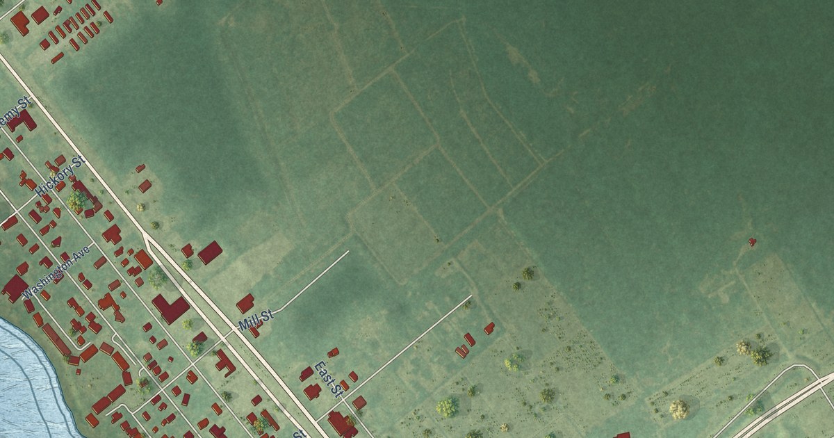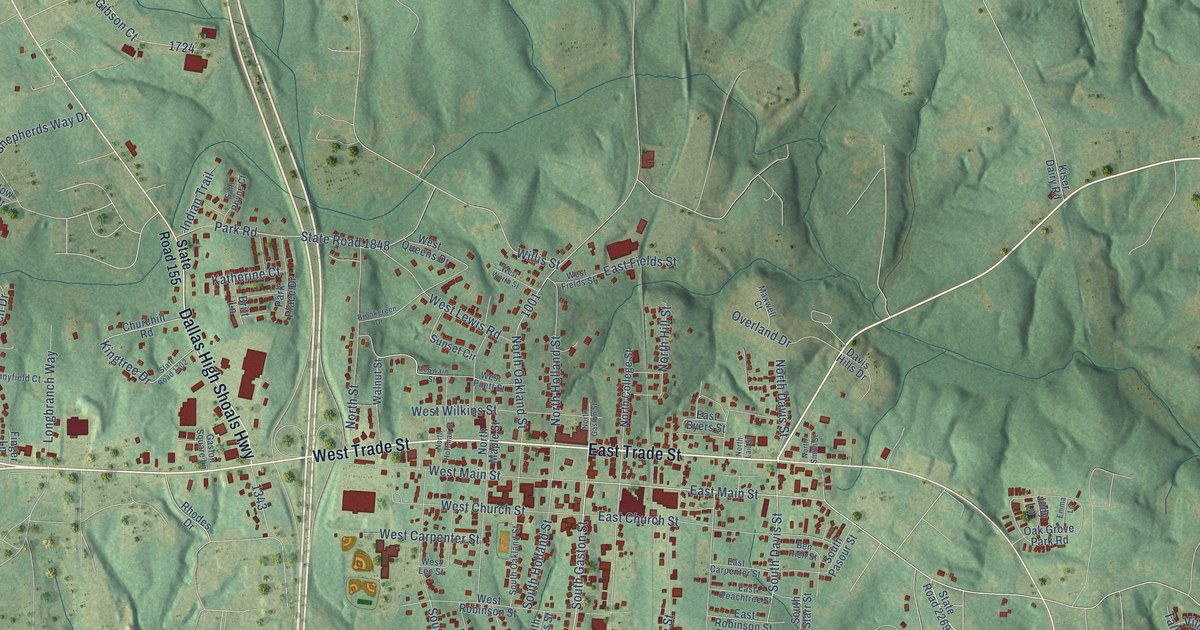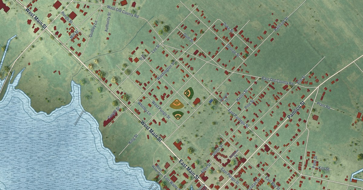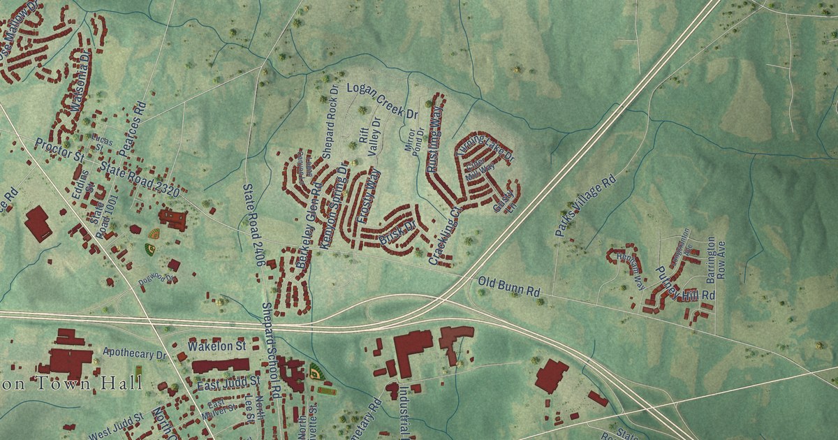
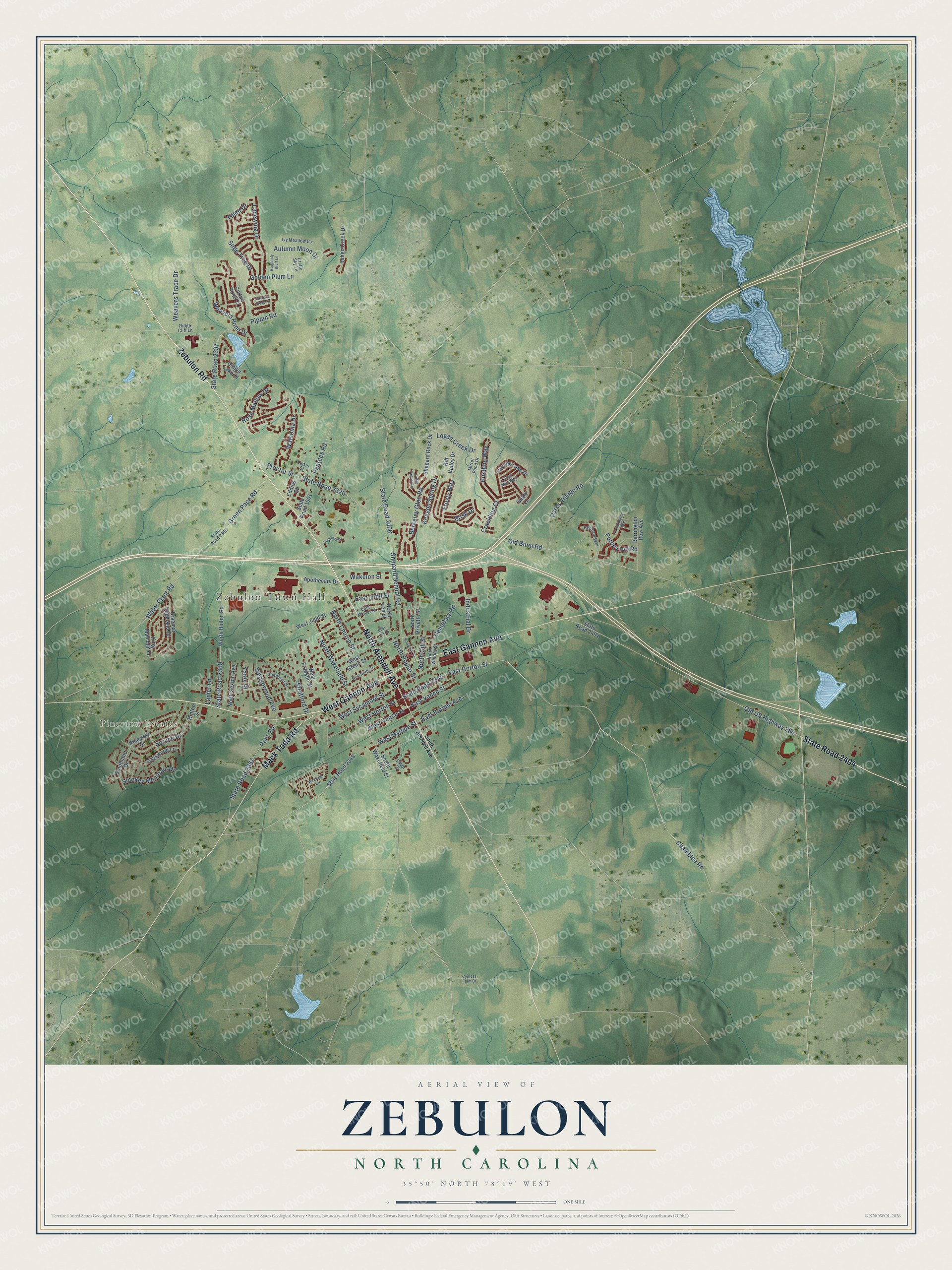
This beautifully detailed map of Zebulon, North Carolina was created in 2026 using aerial imagery combined with modern topographical, census, street and landmark data. It's a modern aerial view of Zebulon in Wake County, North Carolina, that combines modern data with a vintage aesthetic. The roads feature printed names, and if you look closely you can find your exact house accurately shown in its correct location.
Explore an aerial view of Zebulon, North Carolina
On this map you'll find Zebulon Town Hall, Pineview Estates, North Arendell Avenue, Zebulon Road, West Gannon Avenue, State Road 2404, East Gannon Avenue, Mack Todd Road, Chamblee Road, West Vance Street, Proctor Street, Cemetary Road, and more. Each red shape is a building, so zoom in on the preview and look for yours.
Zebulon has a story worth telling. The North Carolina Gazetteer puts it this way: "Zebulon town in E Wake County. Inc. 1907. Named for Zebulon B. Vance (1830-94), governor of North Carolina and U.S. senator. Produces apparel and lumber products. Alt. 323."
Zebulon is a town in Wake County. The Census Bureau counted 6,903 people here in 2020.
Take a closer look at the Zebulon map
Names on this map
These names are printed on this map.
Places: Zebulon Town Hall and Pineview Estates.
Streets and roads: North Arendell Avenue, Zebulon Road, West Gannon Avenue, State Road 2404, East Gannon Avenue, Mack Todd Road, Chamblee Road, West Vance Street, Proctor Street, Cemetary Road, State Road 2345, East Horton Street.
More street names, A to Z
Apothecary Drive, Arctic Sky Lane, Autumn Moon Drive, Barrington Row Avenue, Berkeley Glen Road, Braemar Highland Drive, Brisk Drive, Burgundy Bluff Lane, Cattail Pond Drive, Cider Mill Way, Crackling Court, Cypress Farm Drive, Dogwood Drive, East Barbee Avenue, East Judd Street, East Lee Street, East McIver Street, East Vance Street, Eddins Street, Frosty Way, Ginger Lake Court, Golden Plum Lane, Green Pace Road, Gusty Lane, Henham Way, Hinton Street, Indigo Creek Drive, Industrial Drive, Ivy Meadow Lane, Kenyon Spring Drive, King Malcolm Lane, Lacewing Drive, Lanier Lane, Logan Canyon Lane, Logan Creek Drive, Longstanton Avenue, Lucas Street, Mirror Pond Drive, North Church Street, North Gill Street, North Lee Street, North Pitt Street, North Poplar Street, North Privette Street, North Sexton Avenue, North Wakefield Street, North Whitley Street, Old Bunn Road, Old US Highway 264, Parks Village Road, Pearces Road, Pineview Drive, Pippin Road, Pony Road, Putney Hill Road, Ridge Cliff Lane, Rift Valley Drive, Rose Mallow Drive, Rustling Way, Sage Tree Drive, Sasswood Lane, Shepard Rock Drive, Shepard School Road, Silver Street, Smokey Mountain Drive, Somerset Drive, South Arendell Avenue, Southland Drive, South Wakefield Street, Spruce Drive, State Road 1001, State Road 2320, State Road 2337, State Road 2348, State Road 2367, State Road 2368, State Road 2369, State Road 2406, Stratford Drive, Turning Lake Drive, Vineyard Ridge Drive, Wakelon Street, Water Plant Road, Watsonia Drive, Weavers Pond Drive, Weavers Trace Drive, Wedgewood Avenue, West Barbee Street, West Franklin Street, West Glenn Street, West Horton Street, West Judd Street, West North Street, Westside Circle, West Sycamore Street, Worth Hinton Road, Yates Place, Yulee Drive.
Created by KNOWOL in 2026. The buildings are small red shapes, the roads carry their printed names, and shaded relief shows the shape of the land. The title panel reads "AERIAL VIEW OF ZEBULON NORTH CAROLINA" with 35°50' NORTH 78°19' WEST.
It looks right in a kitchen, an office or a den, and it's a gift for anyone who grew up in Zebulon or moved away. Open the preview and find your street. See sizes and frames for the Zebulon map.