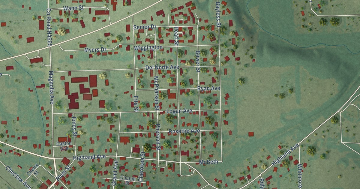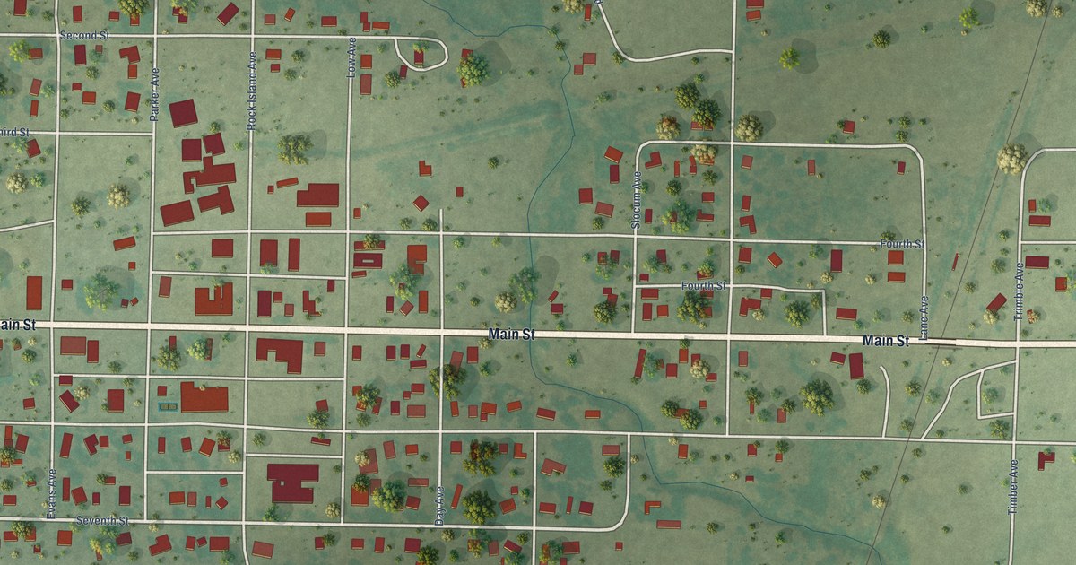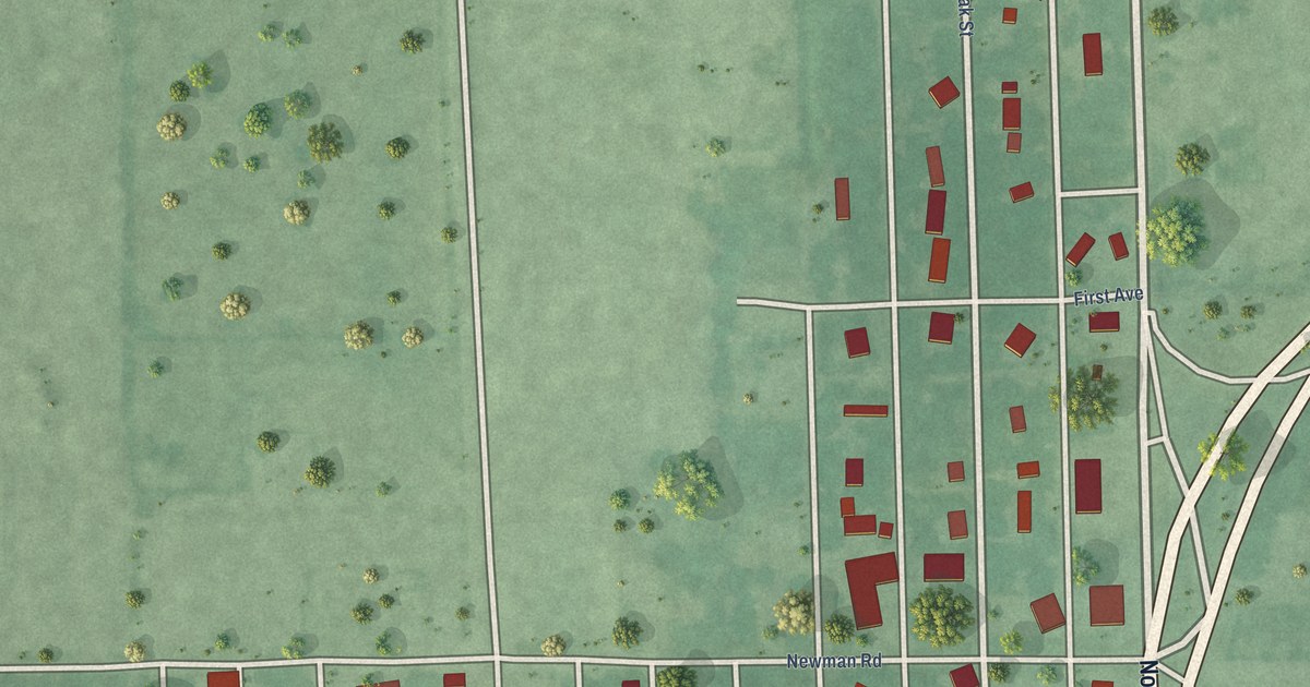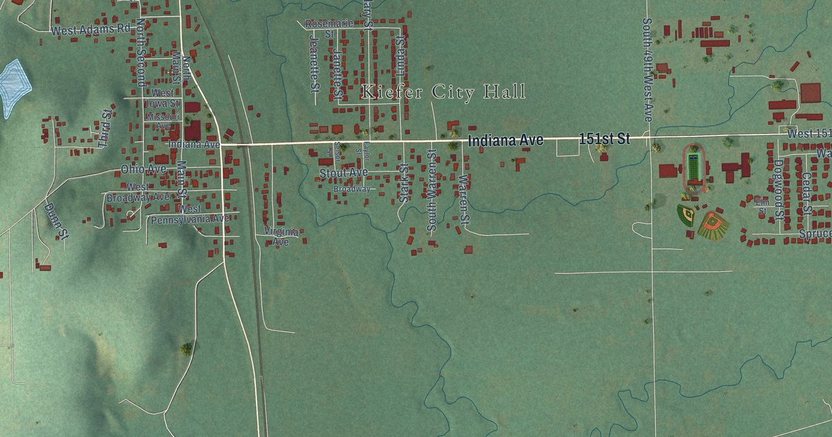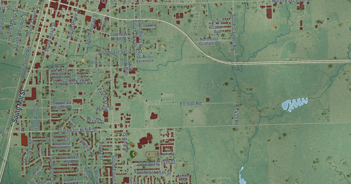
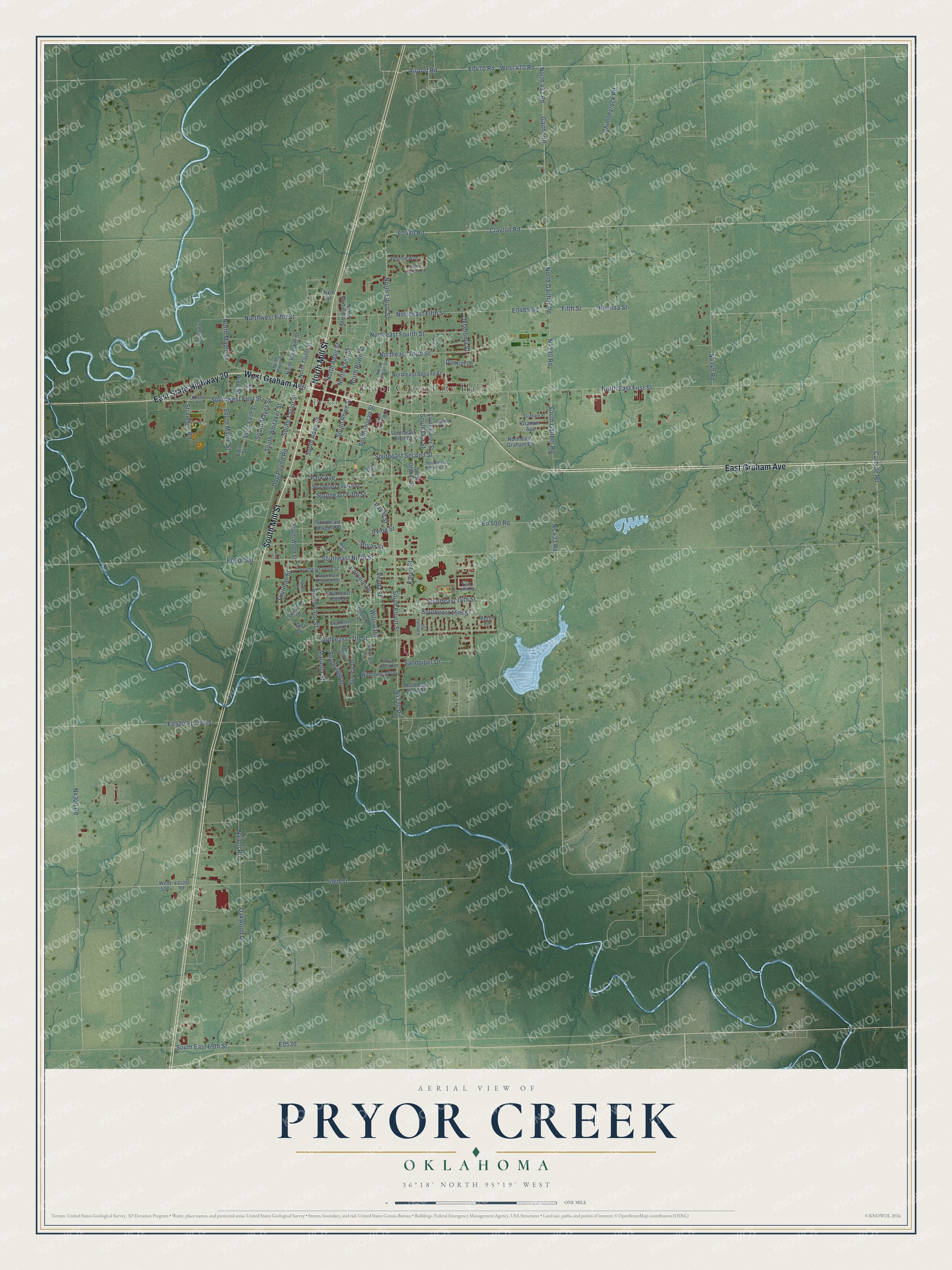
This beautifully detailed map of Pryor Creek, Oklahoma was created in 2026 using aerial imagery combined with modern topographical, census, street and landmark data. It's a modern aerial view of Pryor Creek in Mayes County, Oklahoma, that combines modern data with a vintage aesthetic. The roads feature printed names, and if you look closely you can find your exact house accurately shown in its correct location.
Explore an aerial view of Pryor Creek, Oklahoma
On this map you'll find Pryor Creek City Hall, Pryor, South Mill Street, East Graham Avenue, North Mill Street, East State Highway 20, West Graham Avenue, South Elliott Street, Southeast Ninth Street, North Elliott Street, Clayton Road, E0470 Road, and more. Each red shape is a building, so zoom in on the preview and look for yours.
Pryor Creek has a story worth telling. The record at okhistory.org puts it this way: "The town was first named Coo-Y-Yah, but in 1887 the Post Office Department changed the name to Pryor Creek, and in 1898 the town officially took the name."
Pryor Creek is a city in Mayes County.
Take a closer look at the Pryor Creek map
Names on this map
These names are printed on this map.
Places: Pryor Creek City Hall and Pryor.
Streets and roads: South Mill Street, East Graham Avenue, North Mill Street, East State Highway 20, West Graham Avenue, South Elliott Street, Southeast Ninth Street, North Elliott Street, Clayton Road, Oklahoma Street, West 470 Road, 49th Street.
More street names, A to Z
29th Street, Airport Road, Bedford Drive, Bonnie Avenue, Brookfield Terrace, Bryan Street, Carbide Road, Chimneyrock Road, Colonial Drive, Damon Drive, Dog Pound Road, Edith Street, Eo 500 Road, Fifth Street, Gaitherrd, Gist Drive, Graham Avenue, Graham Court, Graham Place, Grove Crest Road, Helton Lane, Irving Street, Karen Street, Kentucky Avenue, Lahoma Street, Lakeview Drive, Lindley Lane, Locke Street, Mable Clayton Circle, Marietta Street, Merlin Circle, North 433 Road, North Adair Street, Northeast Fifth Street, North East First Street, Northeast Fourth Street, Northeast Graham Court, Northeast Second Street, Northeast Third Street, North Gaither Road, North Garfield Avenue, North Hogan Street, North Maple Street, North Mayes Street, North Rowe Street, North Taylor Street, North Vann Street, Northwest Fifth Street, North Whitaker Street, Ns 433 Road, Oak Street, Oakwood Drive, Park Avenue, Payne Street, Pine Street, Rhonda Street, Ridgewood Drive, Ross Street, Sandpiper Drive, Sixth Street, South Adair Street, South Bailey Street, South Cherokee Street, Southeast 13th Street, Southeast 14th Street, Southeast 15th Street, Southeast 16th Street, Southeast 17th Street, Southeast 22nd Street, South East 69th Street, Southeast Eleventh Street, Southeast Fifth Street, Southeast First Street, Southeast Fourth Street, Southeast Second Court, Southeast Second Street, Southeast Seventh Place, Southeast Tenth Street, South Edith Street, South Gaither Road, South Hogan Street, South Maple Street, South Mayes Street, South Ora Street, South Orphan Street, Southridge Drive, South Rowe Street, South Taylor Street, South Vann Street, Southwest First Street, South Whitaker Street, South Wood Street, Spruce Court, State Street, Strawhun Road, Surrey Drive, Thurman Street, Twin Villa Street, Veyda Street, West 520, Willow Road.
Created by KNOWOL in 2026. The buildings are small red shapes, the roads carry their printed names, and shaded relief shows the shape of the land. The title panel reads "AERIAL VIEW OF PRYOR CREEK OKLAHOMA" with 36°18' NORTH 95°19' WEST.
It looks right in a kitchen, an office or a den, and it's a gift for anyone who grew up in Pryor Creek or moved away. Open the preview and find your street. See sizes and frames for the Pryor Creek map.