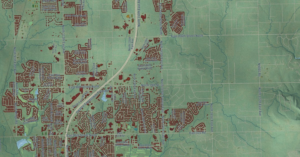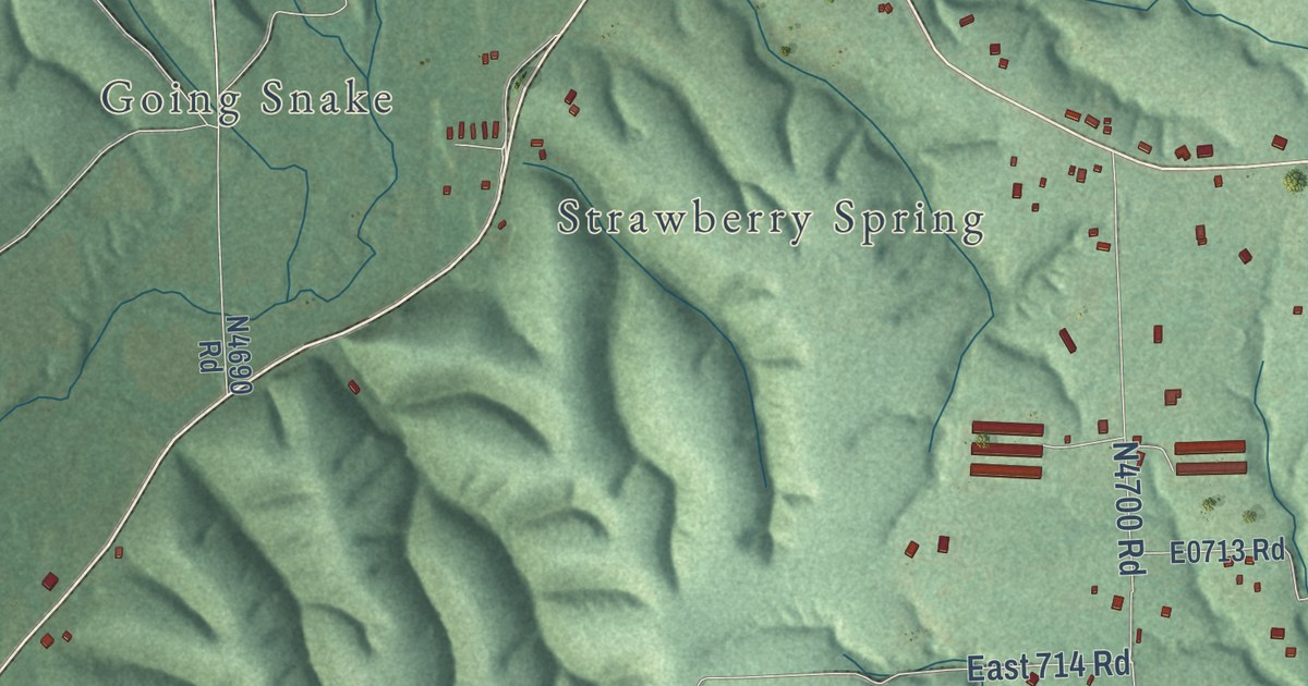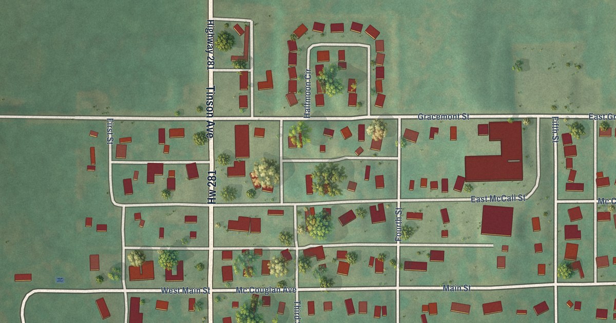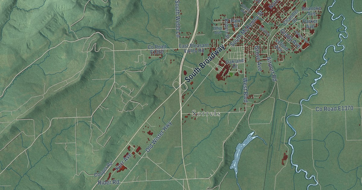
This beautifully detailed map of Poteau, Oklahoma was created in 2026 using aerial imagery combined with modern topographical, census, street and landmark data. It’s a one-of-a-kind view of Poteau that combines accurate data with a vintage aesthetic. The map shows every building in its true location, many of the roads carry their names, and the shaded topographic relief shows the shape of the land.
Explore an aerial view of Poteau, Oklahoma
On the map you’ll find Witteville, Sorrels, and South Broadway, along with North Broadway Street, Old State Highway 112, North Witte Street, County Road E1320, Witteville Drive, Rider Road, West Boulevard, Grace Street, South Webb Lane, and more. If you look closely you can even find your house accurately drawn in its correct location. Zoom in on the preview to look for yours.
Did you know this piece of Poteau, Oklahoma history?
From Okhistory.org: "In 1896 Kansas City, Pittsburg and Gulf Railroad (acquired by the Kansas City Southern Railway in 1900) initiated service through town."
Poteau is a city in Le Flore County.
Take a closer look at the Poteau map
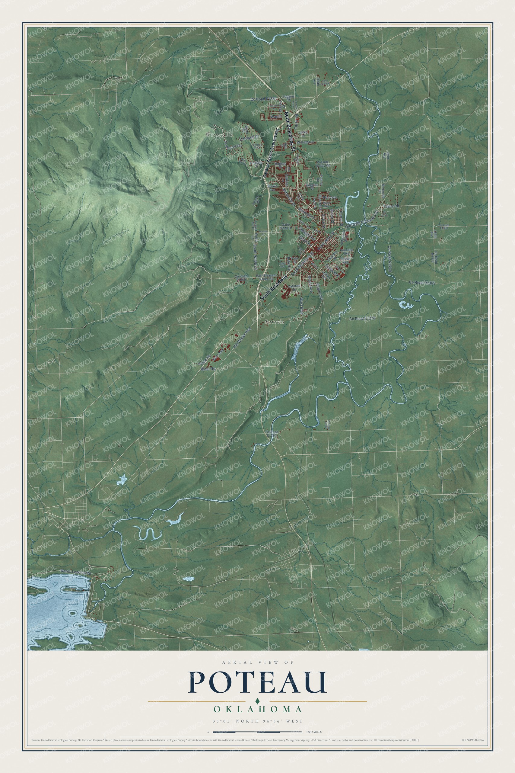
Street and place names on the Poteau, Oklahoma map
These names are printed on the map of Poteau, Oklahoma.
Places: Witteville and Sorrels.
Streets and roads: North Broadway Street, South Broadway, Old State Highway 112, North Witte Street, Witteville Drive, Rider Road, West Boulevard, Grace Street, South Webb Lane, Central Street, South McKenna Street, Grady Avenue.
More street names, A to Z
180th Avenue, 190th Avenue, 205th Avenue, Airport Road, Arnall Street, Ash Street, Beard Avenue, Beeler Street, Burkle Avenue, Caldwell Drive, Cardinal Lane, Carter Street, Cavanal Scenic Expressway, Central Road, Chandler Street, Cherry Avenue, Circle Drive, Coggins Road, Coggins Street, College Avenue, Cooper Road, Cruce Street, Dewey Avenue, East 823rd Street, East Pleasant Valley Road, Flanagan Drive, Franzini Drive, Gatie Frank Drive, Grove Avenue, Haskins Street, Hughes Drive, Industrial Boulevard, Kerr Avenue, Lacey Lane, Leflore Avenue, Marie Avenue, Mockingbird Lane, Myra Lane, Oakland Drive, Ohio Avenue, Old Wister Highway, Parker Avenue, Park Street, Poe Avenue, Possum Valley Road, Raintree Road, Riverside Drive, Roanoke Avenue, Robert Street, Strippit Road, Tarby Road, Torby, Towry Road, Waddle Street, Wapiti, Wards Landing Road, Webb Lane, Whitney, Wilburn Avenue, Williams Lane, Witte Falls Lane, Wylie Road.
See the Poteau, Oklahoma map on a wall
The Poteau map as an 18 x 24 inch print in a black frame.

This beautifully detailed map of Poteau makes an attractive addition to your office, library, or den, and it can even be used to teach children the geography and history of the area. It also makes a great gift for anyone with Poteau roots. When you’re done exploring, click here to get your copy of the Poteau map.