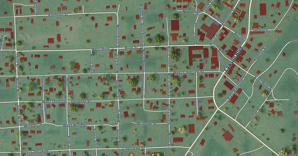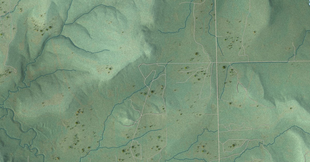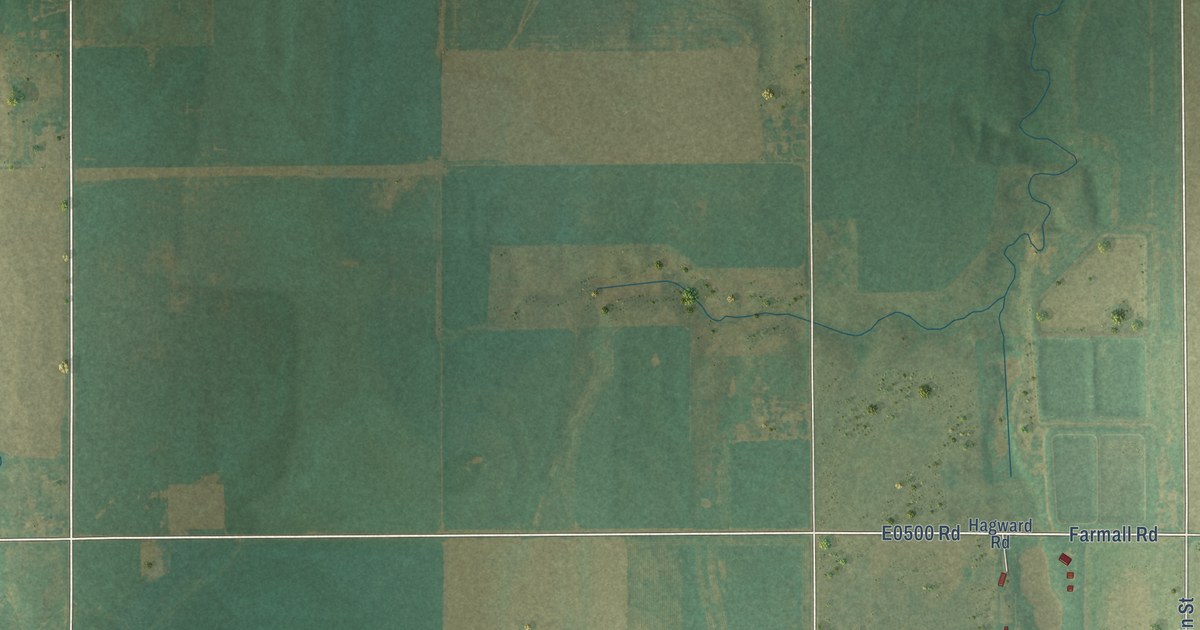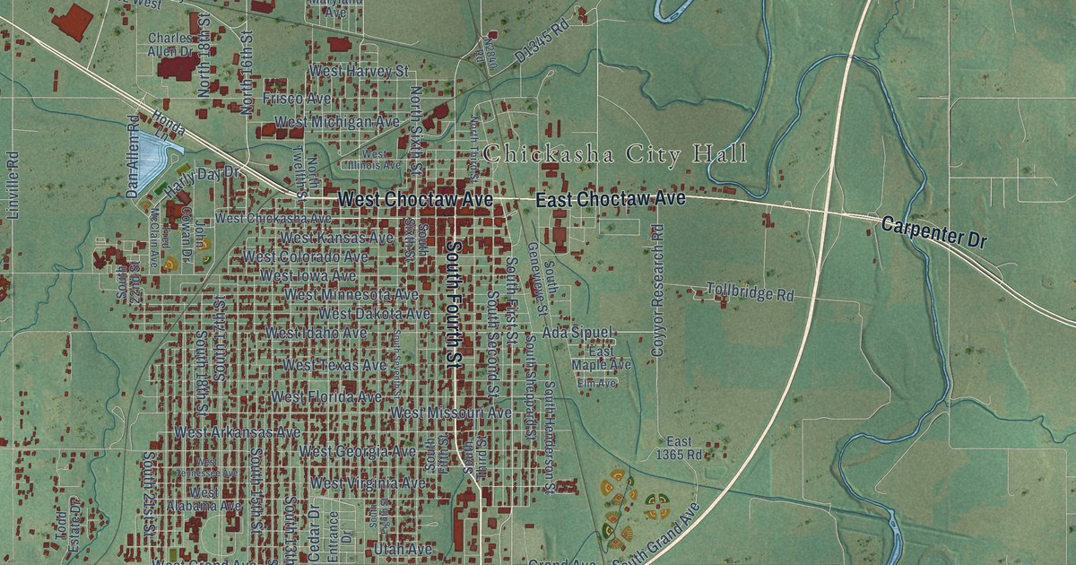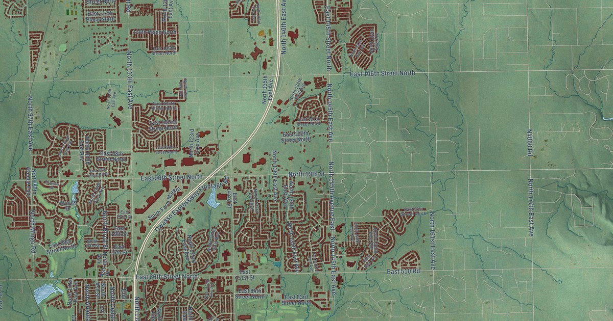
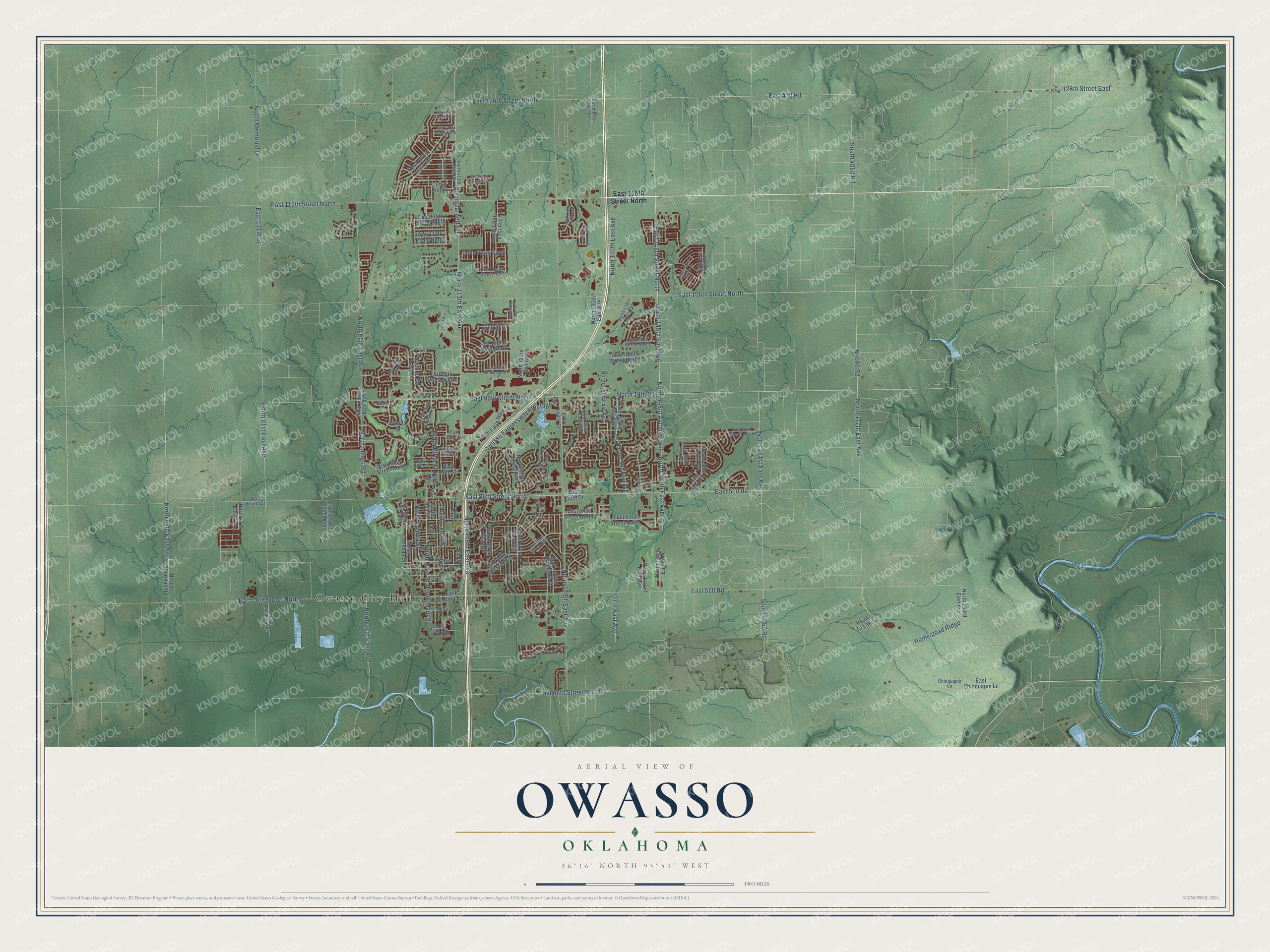
This beautifully detailed map of Owasso, Oklahoma was created in 2026 using aerial imagery combined with modern topographical, census, street and landmark data. It's a modern aerial view of Owasso in Tulsa County, Oklahoma, that combines modern data with a vintage aesthetic. The roads feature printed names, and if you look closely you can find your exact house accurately shown in its correct location.
Explore an aerial view of Owasso, Oklahoma
On this map you'll find Owasso City Hall, East 86th Street North, North 145th Avenue East, North 145th East Avenue, North Main Street, North 19th Street, East 145th Street North, East 106th Street North, East 96th Street North, North 177th East Avenue, North Cedar Street, North 97th East Avenue, and more. Each red shape is a building, so zoom in on the preview and look for yours.
Here is a piece of Owasso history, in the words of the record. The record at okhistory.org puts it this way: "On February 6, 1905, the town council granted a franchise to the Pioneer Telephone and Telegraph Company for the first telephone exchange."
Owasso is a city in Tulsa County.
Take a closer look at the Owasso map
Names on this map
These names are printed on this map.
Places: Owasso City Hall and Road To Lake.
Streets and roads: East 86th Street North, North 145th Avenue East, North 145th East Avenue, North Main Street, North 19th Street, East 145th Street North, East 106th Street North, East 96th Street North, North 177th East Avenue, North Cedar Street, North 97th East Avenue, East 126th Street North.
More street names, A to Z
110th Place North, 126th Street East, 137th East Avenue, 150th East Avenue, Ash, Ash Place, Chinquapin Lane, Cravens Street, East 16th Street, East 19th Street, East 22nd Street, East 66th Street North, East 69th Street North, East 76th Street North, East 80th Street North, East 81st Street North, East 83rd Street North, East 84th Street North, East 89th Street North, East 91st Street North, East 96th Place North, East 98th Street North, East 99th Street North, East 100th Street North, East 101st Street North, East 102nd Street North, East 105th Street North, East 109th Street North, East 112th Place North, East 114th Street North, East 116th Street North, East 119th Street North, East 122nd Court North, East 124th Street North, East 131th Street, East 143rd Street, East 149th Street, East 151st Street, East 470 Road, East 510 Road, East 520 Road, East Chinquapin Lane, East Fifth Avenue, East First Street, East Second Avenue, East Third Street, Elm, Elm Place, Ew 47 Road, Fourth, Homestead Ridge, Maple Leaf Drive, North 65th East Avenue, North 77th East Avenue, North 81st East Avenue, North 91st East Avenue, North 97th Avenue East, North 101st East Avenue, North 102nd East Avenue, North 104th East Avenue, North 107th East Avenue, North 108th East Avenue, North 110th East Avenue, North 111th East Avenue, North 113th East Avenue, North 115th East Avenue, North 117th East Avenue, North 120th East Avenue, North 121st East Avenue, North 122nd East Avenue, North 123rd East Avenue, North 125th East Avenue, North 127th Avenue East, North 127th East Avenue, North 129th East Avenue, North 131st East Avenue, North 133rd East Avenue, North 135th East Avenue, North 136th East Avenue, North 138th East Avenue, North 139th East Avenue, North 140th East Avenue, North 141st East Avenue, North 142nd East Avenue, North 144th East Avenue, North 149th East Avenue, North 151st East Avenue, North 152nd East Avenue, North 154th East Avenue, North 161st East Avenue, North 193rd East Avenue, North Ash, North Ash Street, North Atlanta Street, North Birch Street, North Carlsbad Street, North Garnett Road, North Memorial Avenue, North Memorial Drive, North Mingo Road, North Sheridan Road, Owasso Expressway Frontage Road, Smith Farm Market, South 4050 Road, South 4060 Road, South Main Street, West 17th Street, West Fourth Street, West Second Street, Woods Drive.
Created by KNOWOL in 2026. The buildings are small red shapes, the roads carry their printed names, and shaded relief shows the shape of the land. The title panel reads "AERIAL VIEW OF OWASSO OKLAHOMA" with 36°16' NORTH 95°51' WEST.
It suits a den, a classroom or a front hall, and it makes a gift for anyone with Owasso roots. Open the preview and find the block you know. See sizes and frames for the Owasso map.