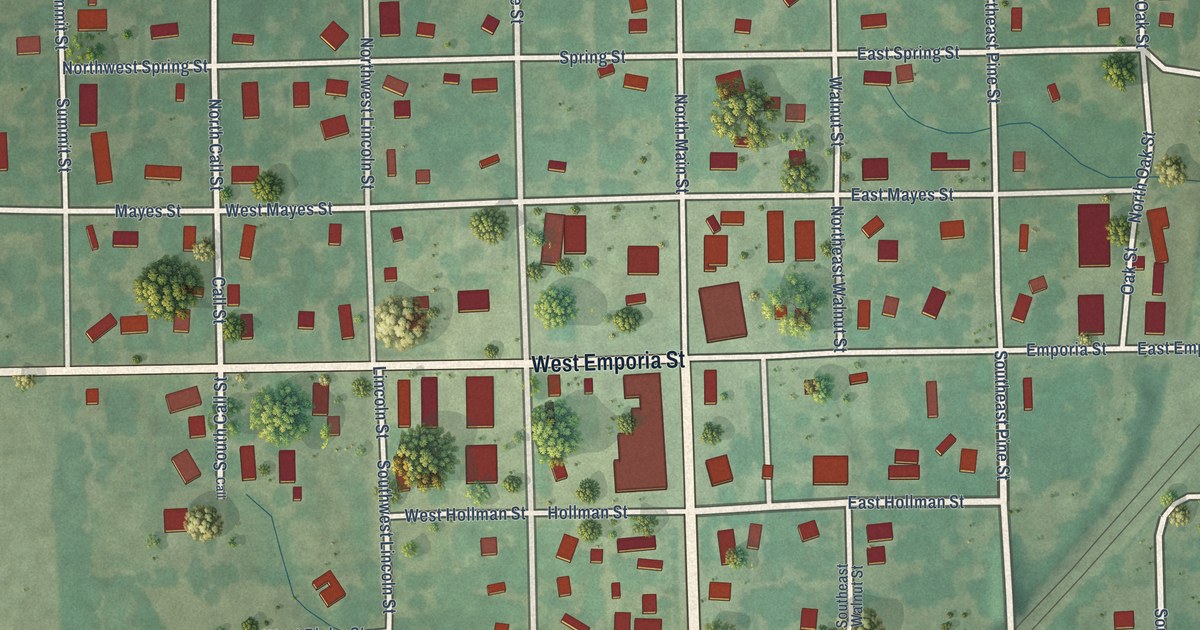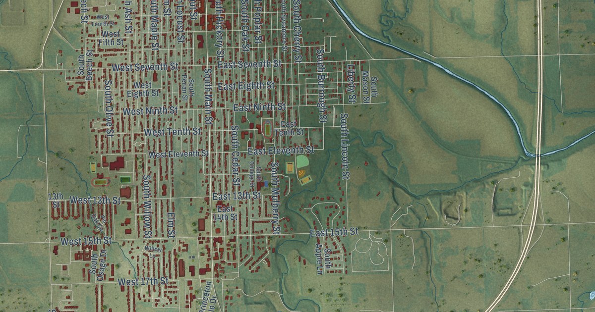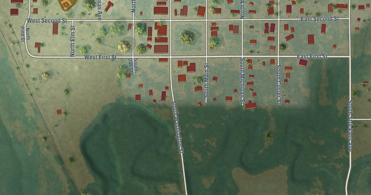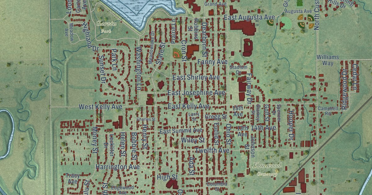
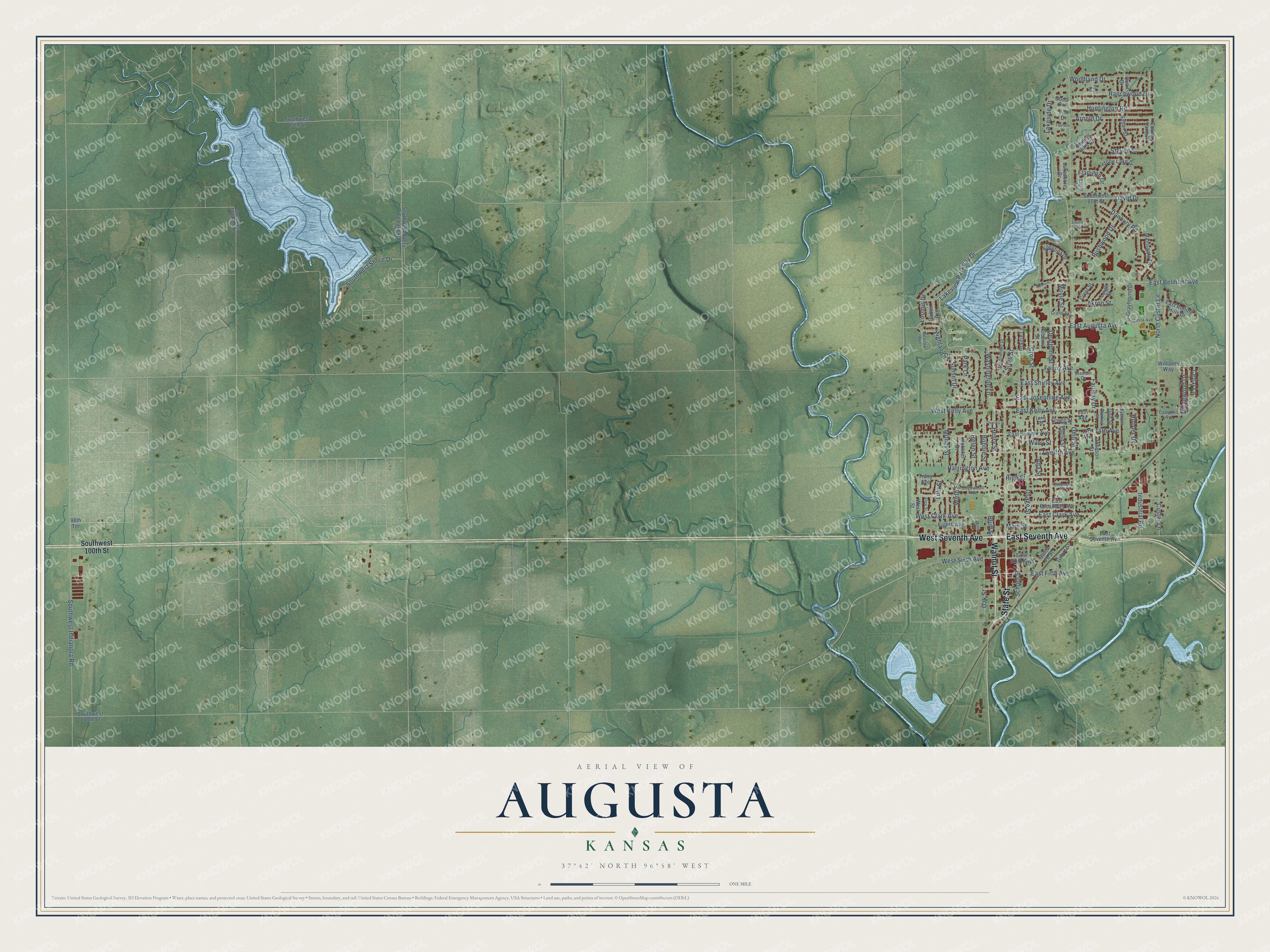
This beautifully detailed map of Augusta, Kansas was created in 2026 using aerial imagery combined with modern topographical, census, street and landmark data. It’s a one-of-a-kind view of Augusta that combines accurate data with a vintage aesthetic. The map shows every building in its true location, many of the roads carry their names, and the shaded topographic relief shows the shape of the land.
Explore an aerial view of Augusta, Kansas
On the map you’ll find Elmwood Cemetery and Garvin Park, along with West Seventh Avenue, State Street, Walnut Street, East Seventh Avenue, Lakeview Parkway Drive, Dearborn Street, East Augusta Avenue, Fanny Avenue, East Shirley Avenue, Southwest Shore Drive, and more. If you look closely you can even find your house accurately drawn in its correct location. Zoom in on the preview to look for yours.
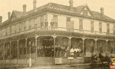
Did you know this piece of Augusta, Kansas history?
From Cutler's History of the State of Kansas: "The Augusta postoffice was established in 1870, and C. N. James appointed Postmaster. In 1874, Mrs. M. S. Harrington succeeded to the office, which she held until November 2, 1881, when C. H. Kurtz, the present official, received his appointment."
Take a closer look at the Augusta map
Street and place names on the Augusta, Kansas map
These names are printed on the map of Augusta, Kansas.
Places: Elmwood Cemetery and Garvin Park.
Streets and roads: West Seventh Avenue, State Street, Walnut Street, East Seventh Avenue, Lakeview Parkway Drive, Dearborn Street, East Augusta Avenue, Fanny Avenue, East Shirley Avenue, Southwest Shore Drive, Cedar Lane, Fairway Drive.
More street names, A to Z
13th Avenue, 14th Avenue, 15th Avenue, 98th Terrace, Ada Street, Akron Street, Alice Street, Angelina Drive, Arnold Drive, Augusta Avenue, Belmont Court, Bluff Street, Bobbie Street, Campbell Road, Carter Avenue, Charles Street, Columbia Street, Country Hills Drive, Country Lane Drive, Crest Street, Cron Street, Custer Lane, Danbury Road, David Drive, East Belmont Avenue, East Broadway Avenue, East Clark Avenue, East Fifth Avenue, East Josephine Avenue, East Kelly Avenue, East Rolling Hills Drive, East Sixth Avenue, East Summit Avenue, Edgewood Avenue, Eighth Avenue, Elm Drive, Euclid Street, Fairlane Drive, Flanigan Drive, Golf Street, Good Drive, Grand Avenue, Grayhound Drive, Gregg Street, Grove Street, Harrington Avenue, Helen Street, Henry Street, Highland Drive, High Street, Hooper Drive, Huntington Road, Industrial Road, Johnson Street, Lakeshore Drive, Lakeside Drive, Larry Street, Leckliter Drive, Leigh Street, Loomis Drive, Lulu Street, Mainsgate Drive, Main Street, Meadow Avenue, Meadowlake Drive, Money Street, Motor Court, Moyle Street, North Custer Lane, Oak Street, Ohio Street, Osage Street, Park Lane, Post Road, Prairie Lane, Quail Drive, Ranchwood Drive, Ridgewood Drive, Robbins Street, Rushwood Drive, Santa Fe Street, School Street, Smiles Avenue, Southwest 75th Street, Southwest 80th Street, Southwest 100th Street, Southwest 110th Street, Southwest Indianola Road, Southwest Santa Fe Lake Road, Southwest Tawakoni Road, Spencer Drive, Stadium Drive, Starkey Street, Steven Street, Stone Lake Drive, Sunset Drive, Susan Street, Taylor Avenue, Tracy Avenue, Twelfth Avenue, Washington Lane, West Clark Avenue, West Kelly Avenue, West Sixth Avenue, West Street, Wiley Street, Williams Way, Wirth Street, Woodland Drive.
See the Augusta, Kansas map on a wall
The Augusta map as an 18 x 24 inch print in a black frame.

This beautifully detailed map of Augusta makes an attractive addition to your office, library, or den, and it can even be used to teach children the geography and history of the area. It also makes a great gift for anyone who grew up in Augusta or moved away. When you’re done exploring, click here to get your copy of the Augusta map.