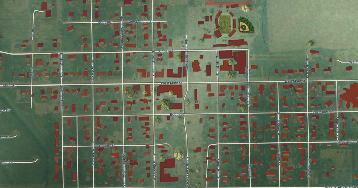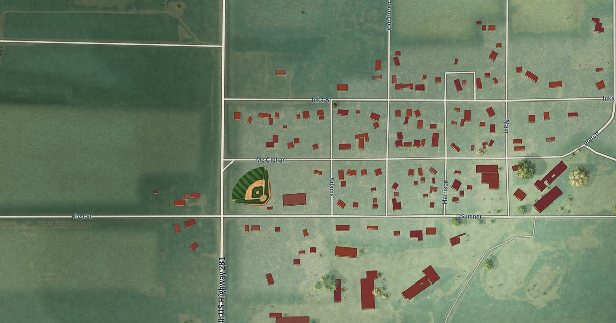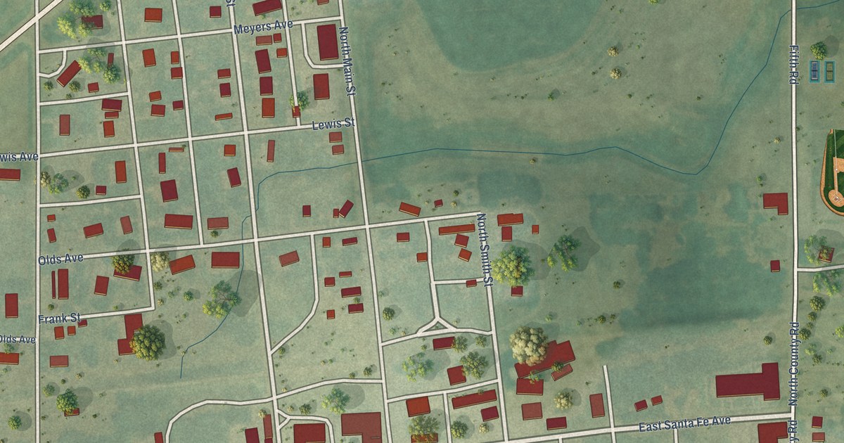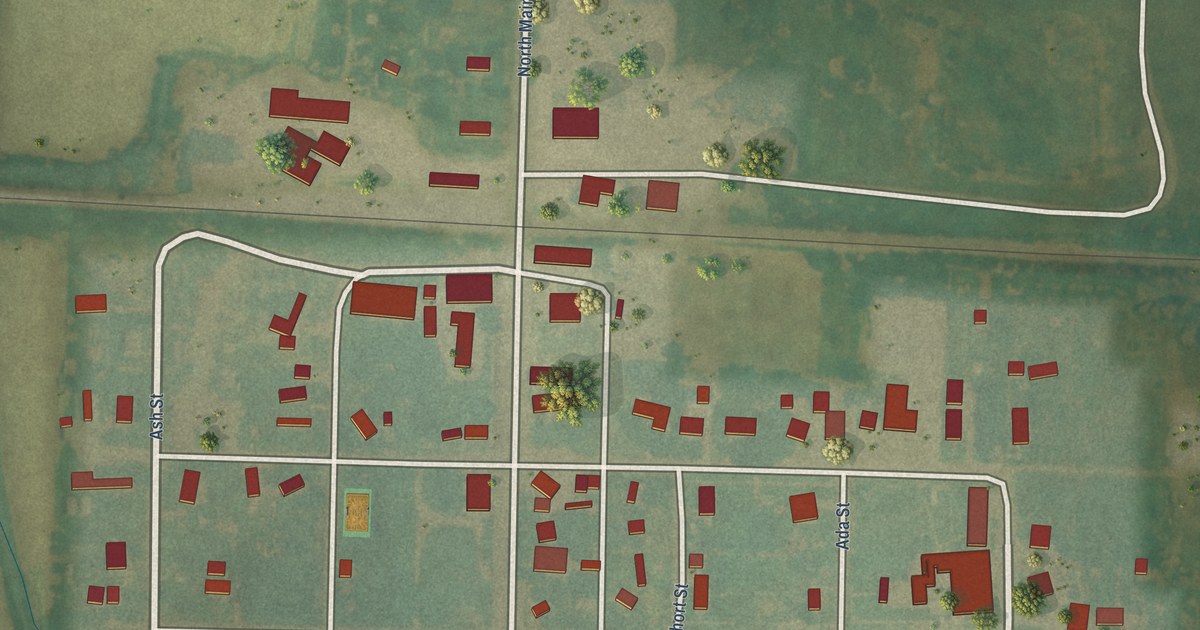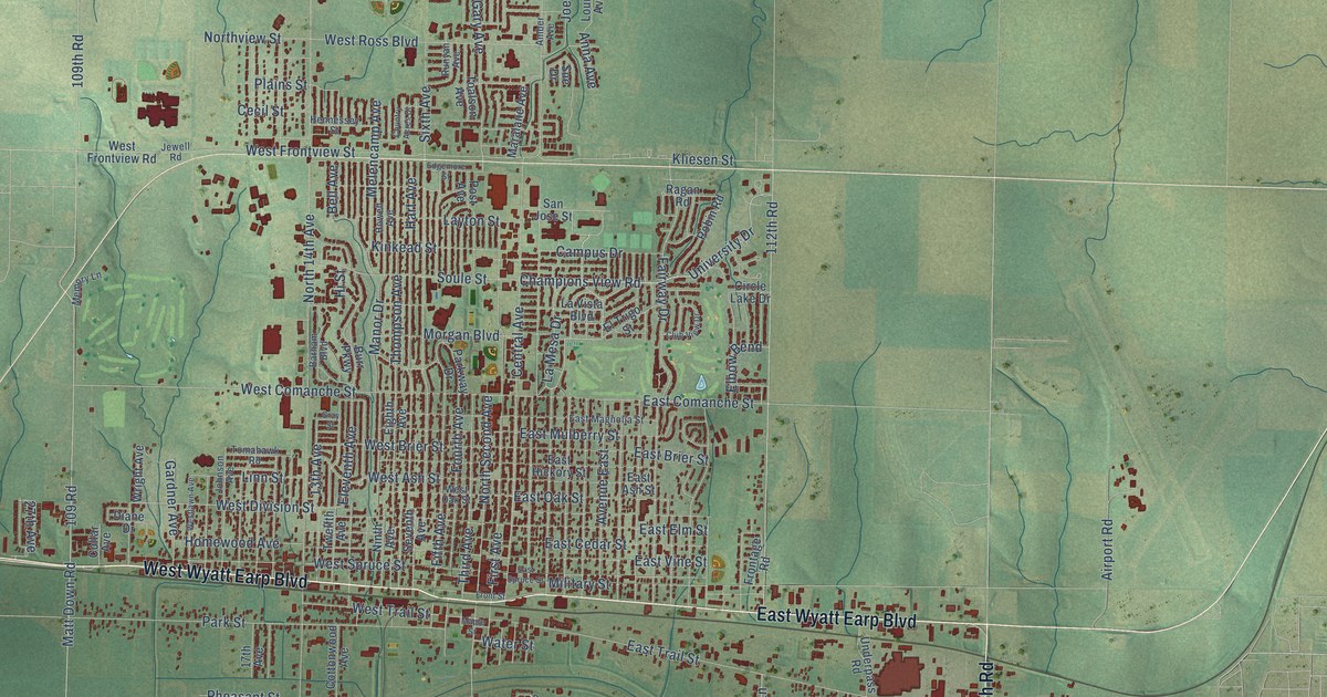
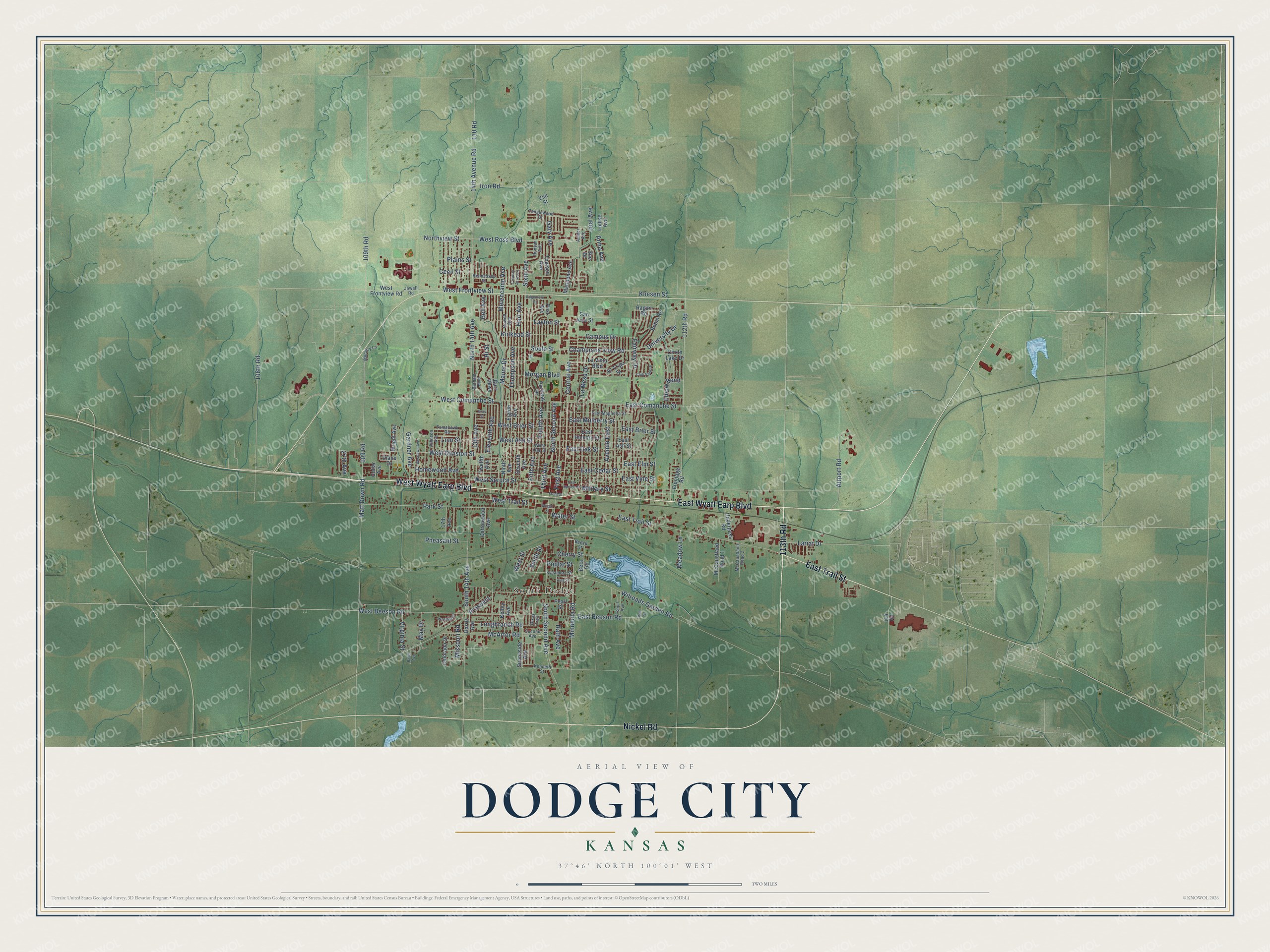
This beautifully detailed map of Dodge City, Kansas was created in 2026 using aerial imagery combined with modern topographical, census, street and landmark data. It's a modern aerial view of Dodge City in Ford County, Kansas, that combines modern data with a vintage aesthetic. The roads feature printed names, and if you look closely you can find your exact house accurately shown in its correct location.
Explore an aerial view of Dodge City, Kansas
On this map you'll find South Dodge, West Wyatt Earp Boulevard, East Wyatt Earp Boulevard, 113th Road, East Trail Street, Nickel Road, La Mesa Drive, Champions View Road, University Drive, Fairway Drive, North Second Avenue, Kliesen Street, and more. Each red shape is a building, so zoom in on the preview and look for yours.
Here is a piece of Dodge City history, in the words of the record. The record at kancoll.org puts it this way: "Schools . – The counties of Clark, Meade, Gray and Sequoyah have edcational (sic) matters cared for in the organized county of Ford."
Dodge City is a city in Ford County. The Census Bureau counted 27,788 people here in 2020.
Take a closer look at the Dodge City map
Names on this map
These names are printed on this map.
Places: South Dodge.
Streets and roads: West Wyatt Earp Boulevard, East Wyatt Earp Boulevard, 113th Road, East Trail Street, Nickel Road, La Mesa Drive, Champions View Road, University Drive, Fairway Drive, North Second Avenue, Kliesen Street, South Second Avenue.
More street names, A to Z
13th Avenue, 14th Avenue Road, 17th Avenue, 27th Avenue, 108th Road, 109 Road, 109th Road, 110 Road, 112th Road, 114 Road, Airport Road, Amber Avenue, Anna Avenue, Avenue East, Bales Avenue, Barham Boulevard, Beech Street, Bell Avenue, Beta Road, Burr Parkway, Campus Drive, Cecil Avenue, Cecil Street, Central Avenue, Cherry Street, Circle Lake Drive, Club View Drive, Collar Avenue, Colorado Drive, Cottonwood Avenue, Country Acres Drive, Diane Drive, East Ash Street, East Beeson Road, East Brier Street, East Cedar Street, East Comanche Street, East Elm Street, East Hickory Street, East Magnolia Street, East Mulberry Street, East Oak Street, East Spruce Street, East Vine Street, Edgemore Street, Eighth Avenue, Elbow Bend, Eleventh Avenue, El Trigo Street, Fifth Avenue, First Avenue, Fourth Avenue, Frontage Road, Front Street, Gardner Avenue, Gary Avenue, Gray Street, Harris Avenue, Hart Avenue, Hennessey Street, Hi Street, Homewood Avenue, Howell Avenue, Iron Road, Jewell Road, Joel Avenue, Johnson Avenue, Kelley Avenue, Kenneth Street, King Street, Kinkead Street, Lariat Drive, La Vista Boulevard, Layton Street, Linn Street, Longbranch Road, Louise Avenue, Manor Drive, Maple Street, Maralane Avenue, Matt Down Road, May Drive, McArtor Road, McCaustland Road 1, McCaustland Road 2, Meadow Lane, Melencamp Avenue, Memory Lane, Military Street, Minneola Road, Missouri Road, Morgan Boulevard, Ninth Avenue, North 14th Avenue, Northview Street, Park Street, Parkway Drive, Pearl Street, Pheasant Street, Plains Street, Poplar Street, Post Avenue, Prospect, Ragan Road, Rath Avenue, Red Street, Robin Road, Runyan Avenue, San Jose Street, Second Avenue, Seventh Avenue, Sixth Avenue, Smith Street, Soule Street, South 14th Avenue, Sue Drive, Sunnyside Avenue, Sycamore Street, Tanglewood Drive, Texas Trail, Third Avenue, Thompson Avenue, Toalson Avenue, Tomahawk Road, Twelfth Avenue, Underpass Road, Vail Street, Virginia Street, Water Street, West Ash Street, West Beeson Road, West Brier Street, West Comanche Street, West Division Street, West Frontview Road, West Frontview Street, Westlawn Avenue, West Oak Street, West Ross Boulevard, West Spruce Street, West Street, West Trail Street, Wilroads Garden Road, Wooden Road, Wright Avenue.
Created by KNOWOL in 2026. The buildings are small red shapes, the roads carry their printed names, and shaded relief shows the shape of the land. The title panel reads "AERIAL VIEW OF DODGE CITY KANSAS" with 37°46' NORTH 100°01' WEST.
It suits a den, a classroom or a front hall, and it makes a gift for anyone with Dodge City roots. Open the preview and find the block you know. See sizes and frames for the Dodge City map.