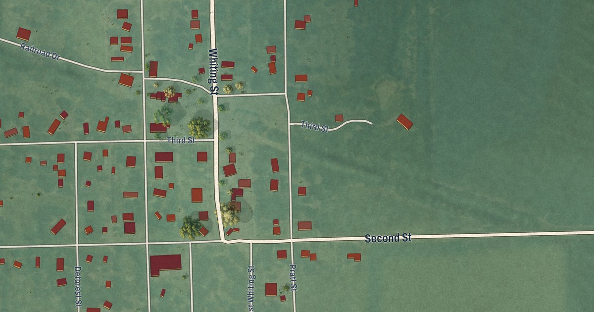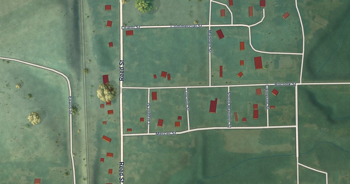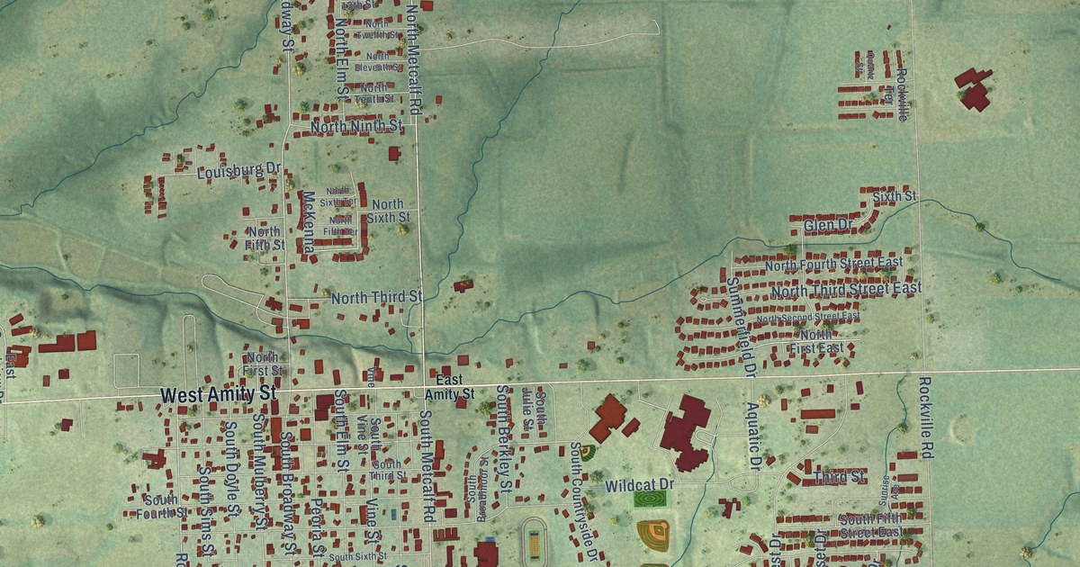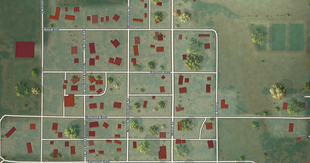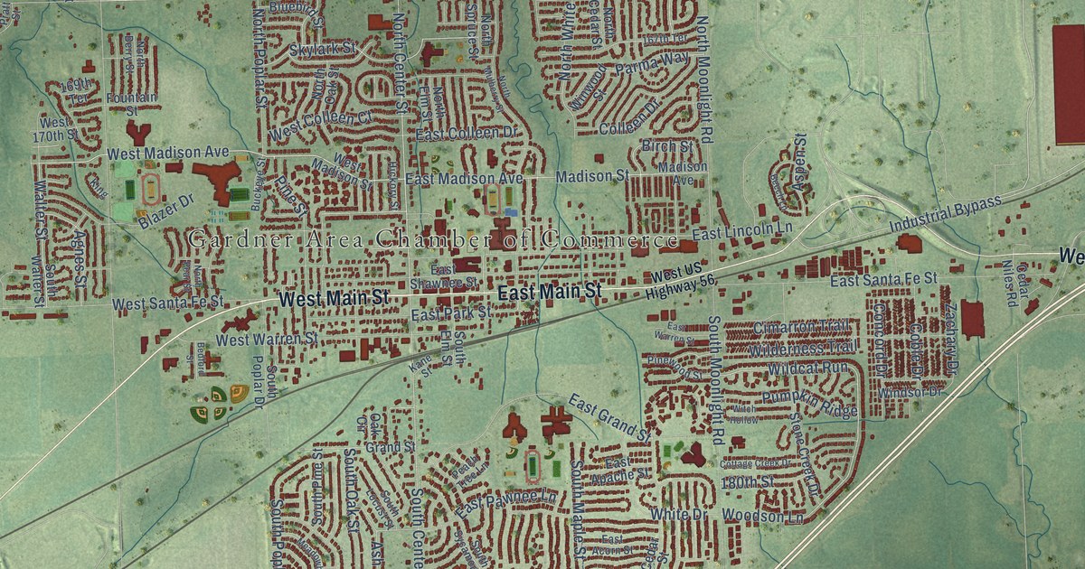
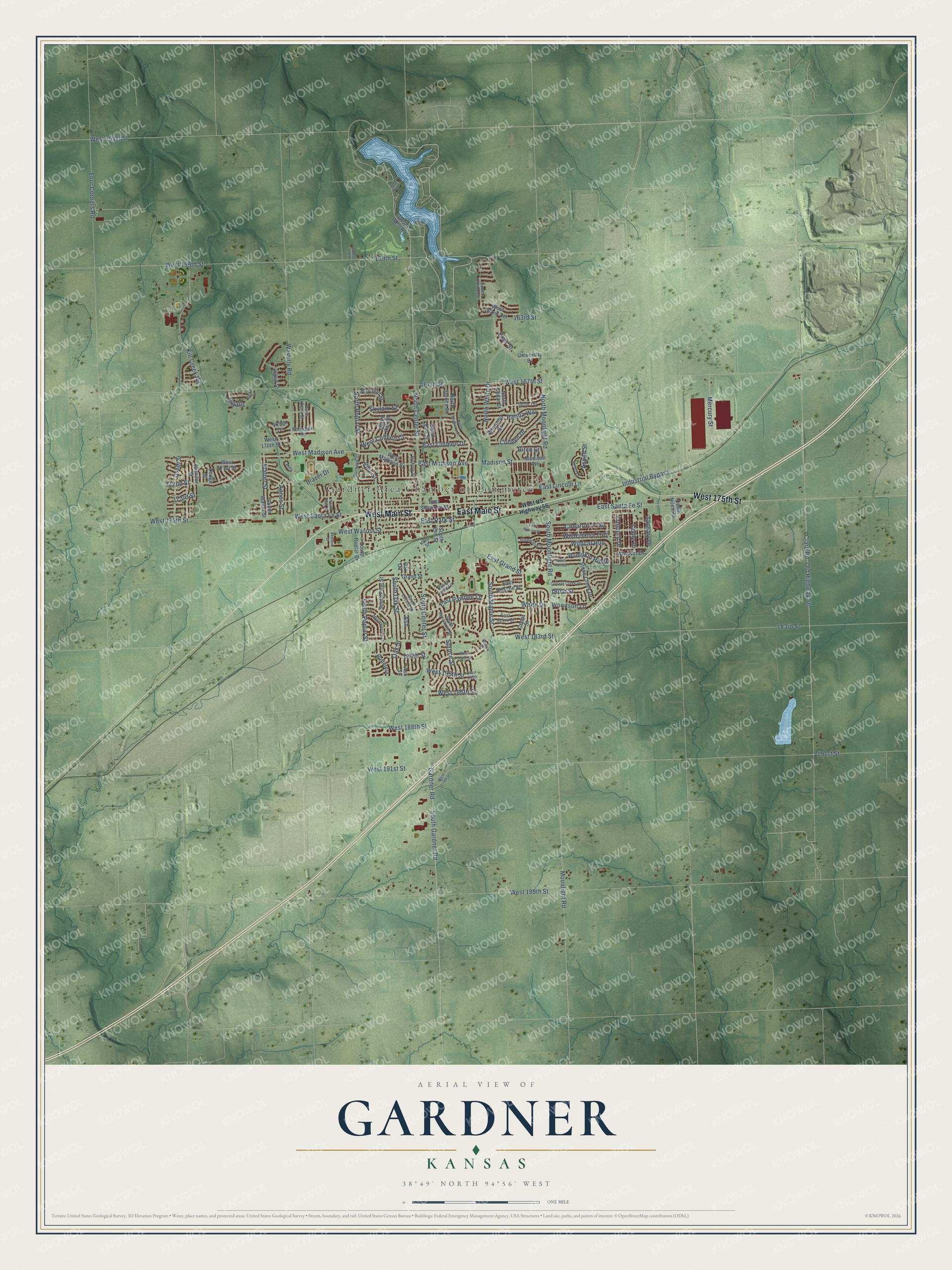
This beautifully detailed map of Gardner, Kansas was created in 2026 using aerial imagery combined with modern topographical, census, street and landmark data. It's a modern aerial view of Gardner in Johnson County, Kansas, that combines modern data with a vintage aesthetic. The roads feature printed names, and if you look closely you can find your exact house accurately shown in its correct location.
Explore an aerial view of Gardner, Kansas
On this map you'll find Gardner Area Chamber of Commerce, West Main Street, East Main Street, West 175th Street, South Gardner Road, West Madison Avenue, North Center Street, Woodson Lane, Madison Street, Industrial Bypass, Wildcat Run, Walter Street, and more. Each red shape is a building, so zoom in on the preview and look for yours.
Here is a piece of Gardner history, in the words of the record. The record at kancoll.org puts it this way: "The school district was organized in the winter of 1858-59, and the first public school taught the next summer by Miss Mary Williams."
Gardner is a city in Johnson County. The Census Bureau counted 23,287 people here in 2020.
Take a closer look at the Gardner map
Names on this map
These names are printed on this map.
Places: Gardner Area Chamber of Commerce.
Streets and roads: West Main Street, East Main Street, West 175th Street, South Gardner Road, West Madison Avenue, North Center Street, Woodson Lane, Madison Street, Industrial Bypass, Wildcat Run, Walter Street, South Center Street.
More street names, A to Z
159th Street, 163rd Street, 167th Street, 167th Terrace, 169th Terrace, 172nd Street, 173rd Street, 180th Street, 183rd Street, 184th Street, 191st Street, Acess Road, Agnes Street, Ash, Ash Street, Aspen Street, Bedford Street, Beech Lane, Birch Street, Blair Street, Blazer Drive, Bluebird Street, Buckeye Street, Butternut, Canton Street, Cedar Niles Road, Cedar Street, Cimarron Trail, Clare Road, Coble Drive, Colleen Drive, Concord Drive, Cottage Creek Drive, Dodge Street, East Acorn Street, East Apache Street, East Colleen Drive, East Grand Street, East Lincoln Lane, East Madison Avenue, East Park Street, East Pawnee Lane, East Santa Fe Street, East Shawnee Street, East Warren Street, Fountain Street, Four Corners Road, Gardner Road, Gardner West Road, Grand Street, Hickory Street, Ingalls, Ingrid Street, Jennifer Street, Kane Street, Kill Creek Road, King, Lake Road 3, Madison Avenue, Meadowbrook Street, Mercury Street, Moonlight Road, North Berry Street, North Cedar Street, North Elm Street, North Moonlight Road, North Mulberry Street, North Oak Street, North Pear Street, North Poplar Street, North Spruce Street, North White Drive, Oak Circle, Oak Street, Old Highway 56, Osage Street, Parma Way, Peach Tree Lane, Pine Street, Pinewood Street, Pratt Street, Pumpkin Ridge, Skylark Street, South Canton Street, South Elm Street, South Locust Street, South Maple Street, South Moonlight Road, South Oak Street, South Pine Street, South Poplar Drive, South Poplar Street, South Sycamore Street, South Walter Street, Spruce Street, Stone Creek Drive, University Drive, Waverly Road, West 119th Street, West 151st Street, West 159th Street, West 162nd Terrace, West 167th Street, West 170th Street, West 171st Street, West 183rd Street, West 184th Street, West 185th, West 185th Street, West 186th Street, West 188th Street, West 191st Street, West 199th Street, West Colleen Court, West Madison Street, West Santa Fe Street, West US Highway 56, West Warren Street, White Drive, Wilderness Trail, Windsor Drive, Winwood Street, Witch Hollow, Zachary Drive.
Created by KNOWOL in 2026. The buildings are small red shapes, the roads carry their printed names, and shaded relief shows the shape of the land. The title panel reads "AERIAL VIEW OF GARDNER KANSAS" with 38°49' NORTH 94°56' WEST.
It suits a den, a classroom or a front hall, and it makes a gift for anyone with Gardner roots. Open the preview and find the block you know. See sizes and frames for the Gardner map.