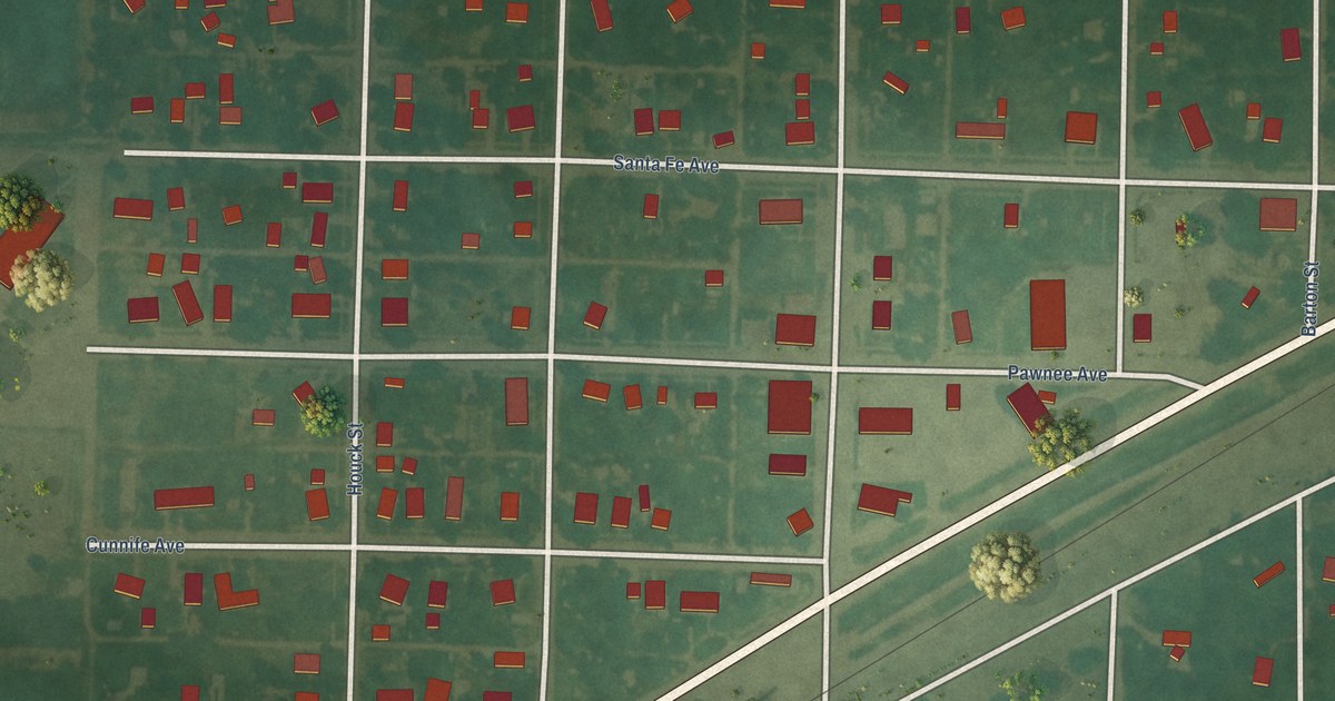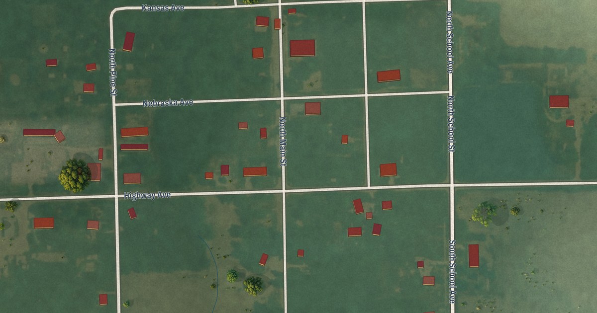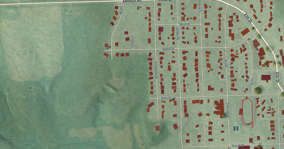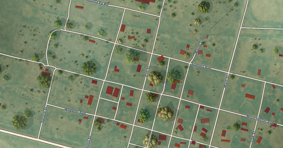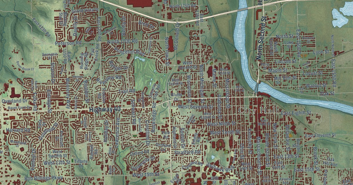
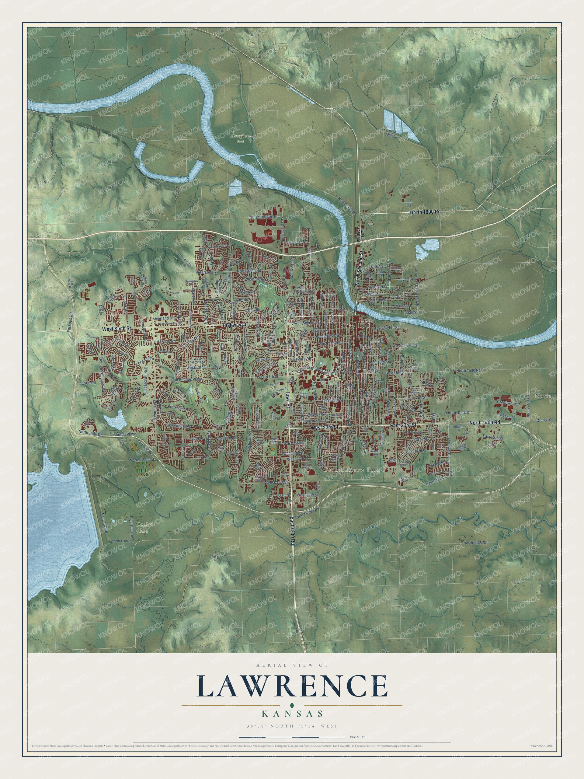
This beautifully detailed map of Lawrence, Kansas was created in 2026 using aerial imagery combined with modern topographical, census, street and landmark data. It's a modern aerial view of Lawrence in Douglas County, Kansas, that combines modern data with a vintage aesthetic. The roads feature printed names, and if you look closely you can find your exact house accurately shown in its correct location.
Explore an aerial view of Lawrence, Kansas
On this map you'll find City Hall, Noria, Broken Arrow Park, Outlet Park, Riverfront Park, West Sixth Street, Iowa Street, North Second Street, North 1800 Road, East 1300 Road, Highway 40, East 23rd Street, and more. Each red shape is a building, so zoom in on the preview and look for yours.
Here is a piece of Lawrence history, in the words of the record. The Kansas Cyclopedia of State History puts it this way: "The new town was named Lawrence, in honor of Amos A. Lawrence, of Boston, Mass., who had been active in the movement to colonize Kansas with people opposed to slavery."
Lawrence is a city in Douglas County. The Census Bureau counted 94,934 people here in 2020.
Take a closer look at the Lawrence map
Names on this map
These names are printed on this map.
Places: City Hall, Noria, Broken Arrow Park, Outlet Park and Riverfront Park.
Streets and roads: West Sixth Street, Iowa Street, North Second Street, North 1800 Road, East 1300 Road, Highway 40, East 23rd Street, West 23rd Street, North 1400 Road, Massachusetts Street, Naismith Drive, Jayhawk Boulevard.
More street names, A to Z
16th Street, 17th Street, 24th Place, 25th Street, 25th Terrace, 27th Street, 33rd Street, 34th Street, 1500 Road, Airport Road, Alabama Street, Alvamar Drive, Anderson Road, Andrew John Drive, Apple Lane, Arkansas Street, Ash Street, Aspen Lane, Atchison Avenue, Avalon Road, Barker Avenue, Bauer Brook Court, Bauer Farm Drive, Becker Drive, Bently Drive, Birdie Way, Blazing Star Drive, Bluffs Drive, Bob Billings Parkway, Bob White Drive, Boulder Street, Brett Drive, Brook Street, Brush Creek Drive, Bullene Avenue, Cadet Avenue, Carmel Drive, Choctaw Avenue, Cimarron Drive, Clinton Parkway, College Boulevard, Congressional Drive, Country Club Terrace, Coving Drive, Crescent Road, Crestline Drive, Crossgate Drive, Dakota Street, Daylily Drive, Delaware Street, Earhart Circle, East 13th Street, East 14th Street, East 15th Street, East 16th Street, East 17th Street, East 18th Street, East 19th Street, East 24th Street, East 25th Street, East 25th Terrace, East 26th Street, East 26th Terrace, East 27th Street, East 28th Street, East 28th Terrace, East 29th Street, East 30th Street, East 31 Street, East 31st Street, East 900 Road, East 902 Road, East 902nd Road, East 1000 Road, East 1048 Road, East 1130 Road, East 1150 Road, East 1200 Road, East 1350 Road, East 1450 Road, East 1500 Road, East 1550 Road, East 1575 Road, East 1600 Road, East 1750 Road, East Eighth Street, East Eleventh Street, East Ninth Street, East Perimeter Road, Easy Street, Eaton Drive, Eisenhower Drive, Eldridge Street, Ellie Lane, Elm Street, Emery Road, Engel Road, Exchange Place, Fairfield Street, Fake Kasold Drive, Fall Creek Road, Folks Road, Forrest Avenue, Foxfire Drive, Franklin Park Circle, Frontier Road, George Williams Way, Gill Avenue, Goldfield Street, Grand Circle, Grand Vista Drive, Grant Street, Graystone Drive, Greenway Circle, Greenway Drive, Greever Terrace, Harper Street, Hartford Avenue, Harvard Road, Haskell Avenue, Hickory Street, Highland Drive, Hill Song Circle, Holiday Drive, Illinois Street, Indiana Street, Inverness Drive, Irving Hill Road, Jana Drive, Jasu Drive, Jenny Wren Road, Joseph Drive, Kansas Street, Kanza Drive, Kasold Drive, Ken Ridge Drive, Kentucky Street, Kiowa Avenue, Lake Alvamar Drive, Lake Street, Lawrence Avenue, Learnard Avenue, Legends Drive, Lincoln Street, Locust Street, Longleaf Drive, Louisiana Street, Lyon Street, Maine Street, Maple Lane, Maple Street, Mayfair Drive, McDonald Drive, Melholland Road, Michigan Street, Miller Drive, Mill Street, Mississippi Street, Missouri Street, Monterey Way, Moodie Road, Murrow Court, New Hampshire Street, New York Street, Nicklaus Drive, North 1175 Road, North 1200 Road, North 1250 Road, North 1350 Road, North 1500 Road, North 1700 Road, North 1750 Road, North 1800th Road, North 1950 Road, North Dole Drive, North Fourth Street, North Iowa Street, North Michigan Street, North Ninth Street, North Street, O'Connell Road, Oak Hill Avenue, Oak Street, Ohio Street, Old K-10, Orchard Lane, Oread Avenue, Oregon Street, Ousdahl Road, Overland Drive, Oxford Road, Perry Street, Petefish Drive, Peterson Road, Plymouth Drive, Prescott Drive, Prestwick Drive, Princeton Boulevard, Quail Creek Drive, Queens Road, Ranch Street, Randall Road, Ranger Drive, Research Park Drive, Rhode Island Street, Ridge Court, Riverview Road, Rock Chalk Drive, Rockledge Road, Running Ridge Road, Schwarz Road, Sharon Drive, Sherwood Drive, Sierra Drive, Silicon Avenue, Simple Lane, South Folks Road, Springhill Drive, Stetson Drive, Stewart Avenue, Stoneridge Drive, Stratford Road, Sunset Drive, Surrey Drive, Teal Drive, Tennessee Street, Three Forks Drive, Tiffany Drive, Topeka Lane, Trail Road, Troon Lane, Turnberry Drive, University Drive, Vantuyl Drive, Venture Park Drive, Vermont Street, Wakarusa Drive, Walnut Street, Waverly Drive, West 13th Street, West 14th Street, West 15th Street, West 17th Street, West 18th Street, West 19th Street, West 20th Street, West 21st Street, West 22nd Court, West 22nd Street, West 24th Street, West 24th Terrace, West 25th Street, West 26th Street, West 27th Street, West 27th Terrace, West 28th Street, West 28th Terrace, West 29th Terrace, West 30th Street, West 31st Street, West 33rd Street, West Eighth Street, West Fifth Street, West Fourth Street, West Ninth Street, West Perimeter Road, West Second Street, West Seventh Street, West Tenth Street, West Third Street, West Twelfth Street, Wimbledon Drive, Winona Avenue, Wisconsin Street, Woodland Drive, Yale Road, Yorkshire Drive.
Created by KNOWOL in 2026. The buildings are small red shapes, the roads carry their printed names, and shaded relief shows the shape of the land. The title panel reads "AERIAL VIEW OF LAWRENCE KANSAS" with 38°58' NORTH 95°14' WEST.
It suits a den, a classroom or a front hall, and it makes a gift for anyone with Lawrence roots. Open the preview and find the block you know. See sizes and frames for the Lawrence map.