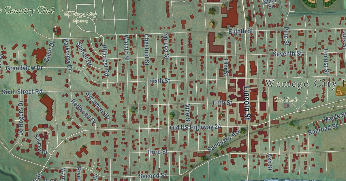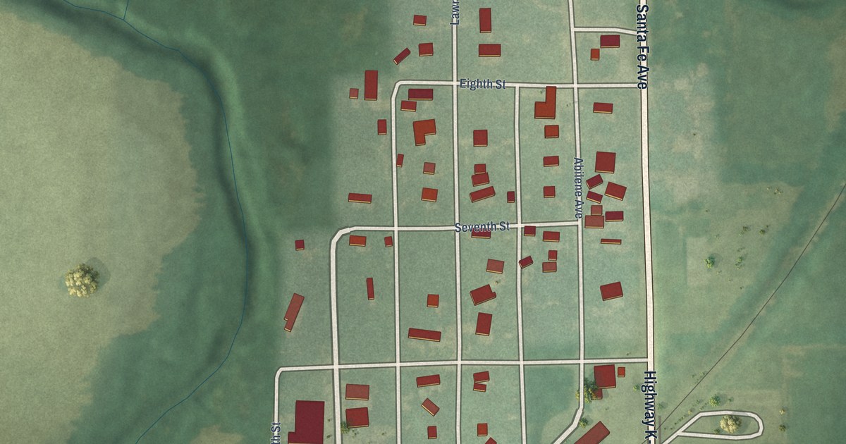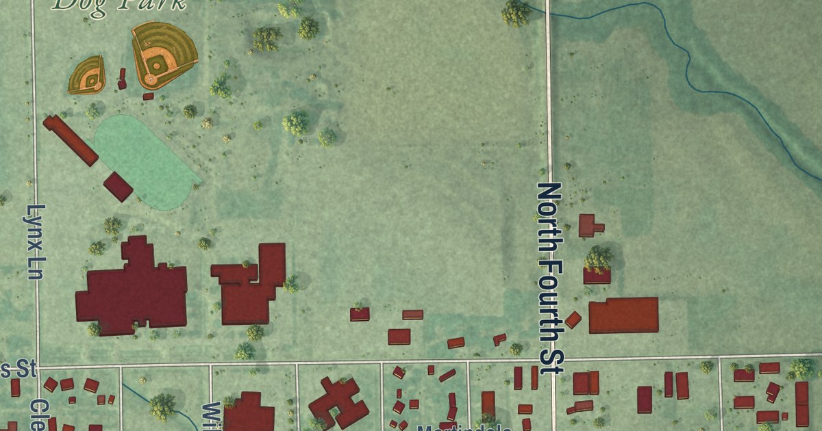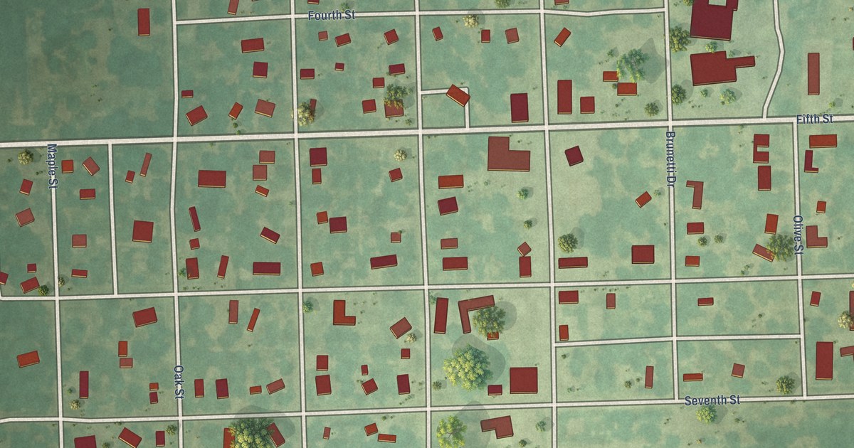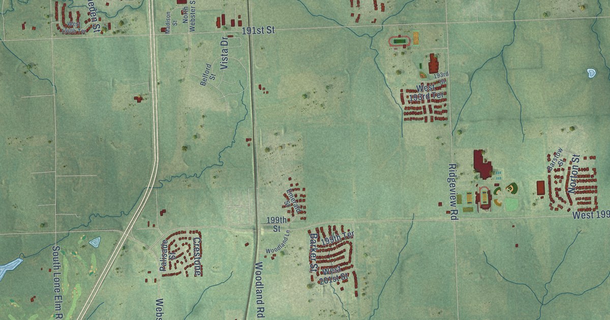
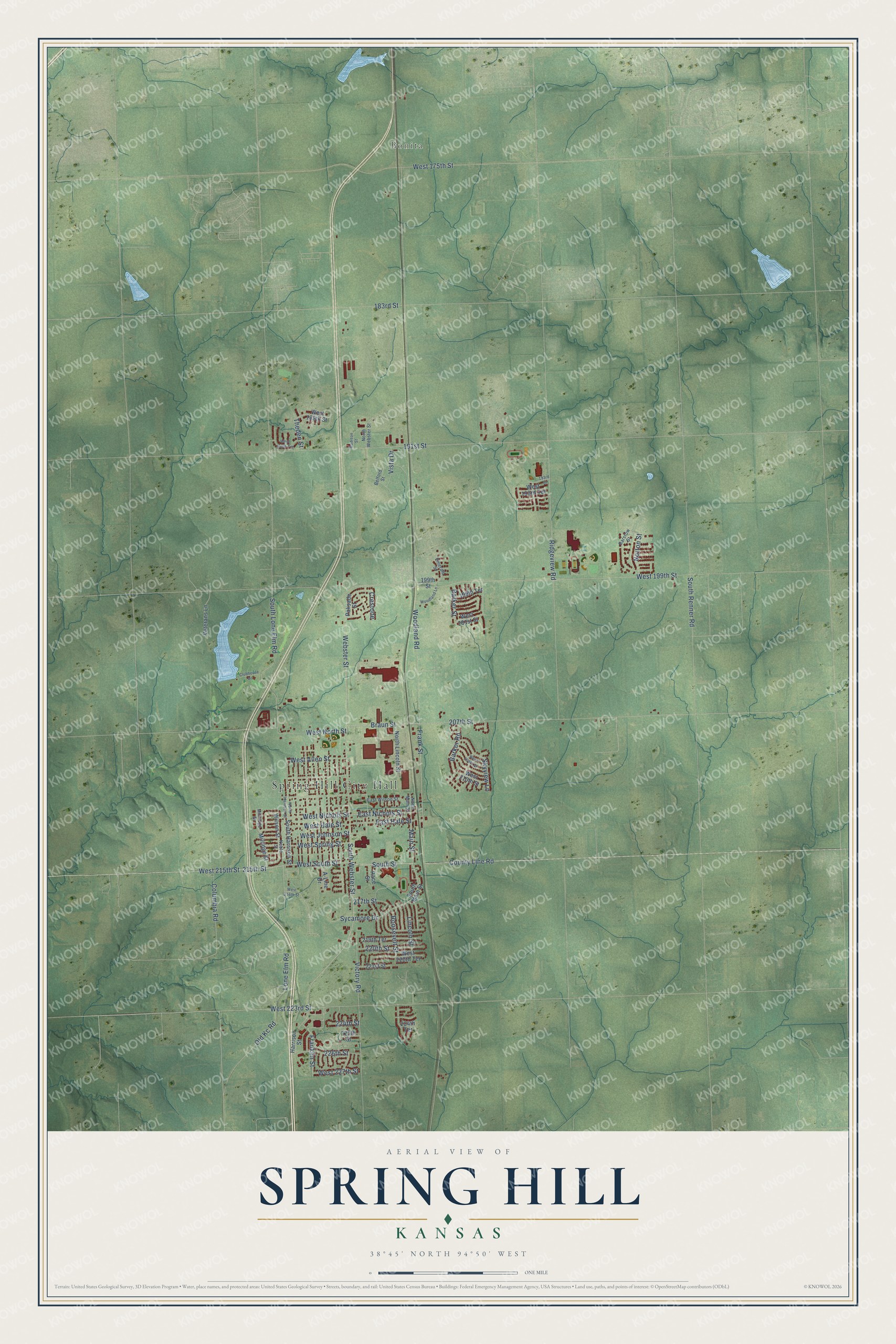
This beautifully detailed map of Spring Hill, Kansas was created in 2026 using aerial imagery combined with modern topographical, census, street and landmark data. It’s a one-of-a-kind view of Spring Hill that combines accurate data with a vintage aesthetic. The map shows every building in its true location, many of the roads carry their names, and the shaded topographic relief shows the shape of the land.
Explore an aerial view of Spring Hill, Kansas
On the map you’ll find Spring Hill City Hall and Bonita, along with West 215th Street, West South Street, South Street, East Nichols Street, South Webster Street, Webster Street, Frank Street, Braun Street, East Hale Street, Woodland Road, and more. If you look closely you can even find your house accurately drawn in its correct location. Zoom in on the preview to look for yours.
Did you know this piece of Spring Hill, Kansas history?
James B. Hovey named Spring Hill after a community near Mobile, Alabama, which he considered among the most beautiful places he had seen. He believed the new Kansas town could rival it in beauty. That’s from Cutler’s Kansas county history.
Take a closer look at the Spring Hill map
Street and place names on the Spring Hill, Kansas map
These names are printed on the map of Spring Hill, Kansas.
Places: Spring Hill City Hall and Bonita.
Streets and roads: West 215th Street, West South Street, South Street, East Nichols Street, South Webster Street, Webster Street, Frank Street, Braun Street, East Hale Street, Woodland Road, 215th Street, Columbia Road.
More street names, A to Z
183rd Street, 191st Street, 193rd Street, 199th Street, 199th Terrace, 207th Street, 217th Street, 219th Terrace, 220th Street, 221st Street, 224th Street, 224th Terrace, 225th Street, 226th Street, A-Line Drive, Barker Road, Barker Street, Barstow Street, Belford Street, Clubhouse Drive, County Line Road, Crestone, East Wilson Street, Emerald Street, Franklin Street, Harrison Street, Lincoln Street, Lone Elm Road, Madison Street, Main Street, Millridge Street, Milridge Street, Noble Street, North Harrison Street, North Lincoln Street, North Main Street, North Webster Street, Norton Street, Old Kc Road, Palisade Street, Race Street, Ridgeview Road, Roosevelt Street, Skyview Lane, South Harrison Street, South Lone Elm Road, South Main Street, South Renner Road, Sycamore Drive, Theden Street, Veterans Lane, Victory Road, Vista Drive, West 175th Street, West 189th Street, West 190th Terrace, West 193rd Terrace, West 199th Street, West 201st Street, West 209th Street, West 210th Street, West 216th Street, West 220th Terrace, West 223rd Street, West 227th Street, West Allen Street, West Hale Street, West Johnson Street, West Nichols Street, West North Street, West Spring Street, Wilson Street, Woodland Lane.
See the Spring Hill, Kansas map on a wall
The Spring Hill map as an 18 x 24 inch print in a black frame.

This beautifully detailed map of Spring Hill makes an attractive addition to your office, library, or den, and it can even be used to teach children the geography and history of the area. It also makes a great gift for someone who left Spring Hill and still calls it home. When you’re done exploring, click here to get your copy of the Spring Hill map.