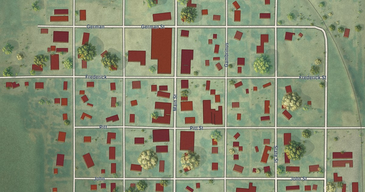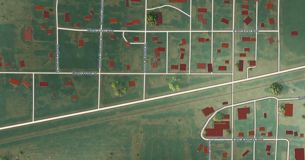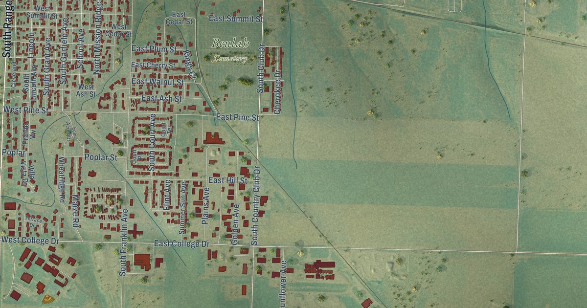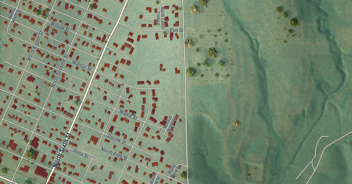
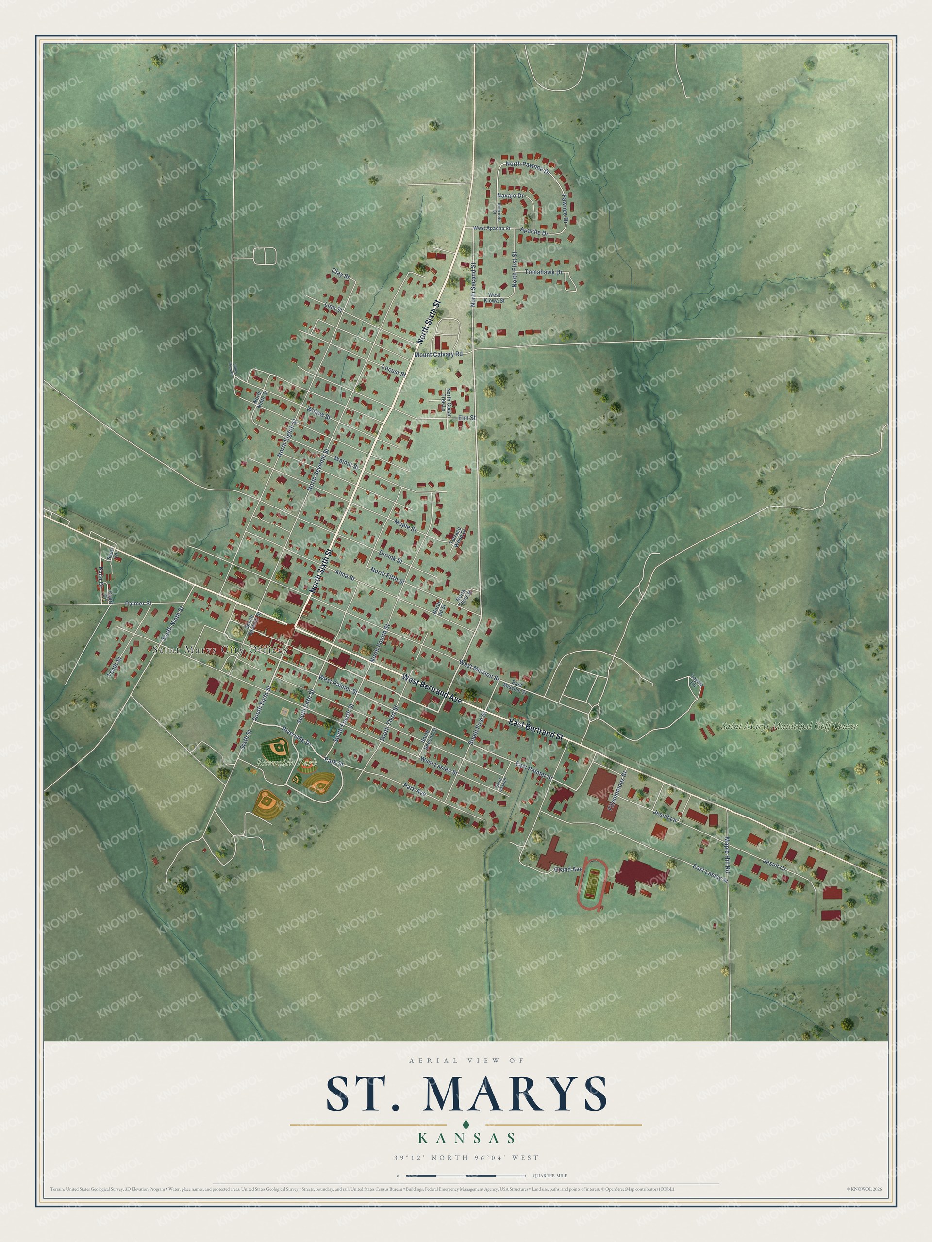
This beautifully detailed map of St. Marys, Kansas was created in 2026 using aerial imagery combined with modern topographical, census, street and landmark data. It's a modern aerial view of St. Marys in Pottawatomie County, Kansas, that combines modern data with a vintage aesthetic. The roads feature printed names, and if you look closely you can find your exact house accurately shown in its correct location.
Explore an aerial view of St. Marys, Kansas
On this map you'll find Saint Marys City Offices, Riverside Park, Saint Marys Municipal Golf Course, North Sixth Street, West Bertrand Avenue, East Bertrand Street, South Sixth Street, Riverside Drive, North Second Street, West Palmer Street, East Palmer Street, North First Street, and more. Each red shape is a building, so zoom in on the preview and look for yours.
St. Marys has a story worth telling. The Kansas State Teachers College puts it this way: "The name is taken from the St. Mary's Catholic Mission founded in 1848 for the education and spiritual instruction of the Pottawatomie Indians. St. Marys was platted in 1866 and was the first community in the county to be settled."
St. Marys is a city in Pottawatomie County. The Census Bureau counted 2,759 people here in 2020.
Take a closer look at the St. Marys map
Names on this map
These names are printed on this map.
Places: Saint Marys City Offices, Riverside Park and Saint Marys Municipal Golf Course.
Streets and roads: North Sixth Street, West Bertrand Avenue, East Bertrand Street, South Sixth Street, Riverside Drive, North Second Street, West Palmer Street, East Palmer Street, North First Street, South Fourth Street, South Fifth Street, Park Street.
More street names, A to Z
Alma Street, Apache Drive, Clay Street, Court Circle, Durink Street, East Lasley Street, East Mission Street, Elm Street, Fitzsimmons Street, Grand Avenue, Jesuit Court, Jesuit Lane, Linn Street, Locust Street, Loyola Circle, Maple Hill Road, Maple Street, Mount Calvary Road, Navajo Drive, North Cedar Tree Lane, North Eighth Street, North Fifth Street, North Fourth Street, North Ninth Street, North Pawnee Drive, North Seventh Street, North Third Street, Pace Drive, Palmer Street, Park Avenue, Pawnee Drive, Saint Joseph, Seminole Drive, Short Lane, Sixth Street, South First Street, South Ninth Street, South Second Street, South Seventh Street, South Third Street, Tenth Street, Terrace Wood Drive, Tomahawk Drive, Valley View Road, Walnut Street, West Apache Street, West Kiowa Street, West Lasley Street, West Mission Street, Willow Street.
Created by KNOWOL in 2026. The buildings are small red shapes, the roads carry their printed names, and shaded relief shows the shape of the land. The title panel reads "AERIAL VIEW OF ST. MARYS KANSAS" with 39°12' NORTH 96°04' WEST.
It looks right in a kitchen, an office or a den, and it's a gift for anyone who grew up in St. Marys or moved away. Open the preview and find your street. See sizes and frames for the St. Marys map.