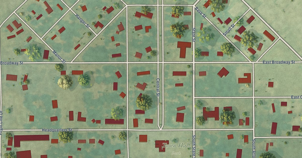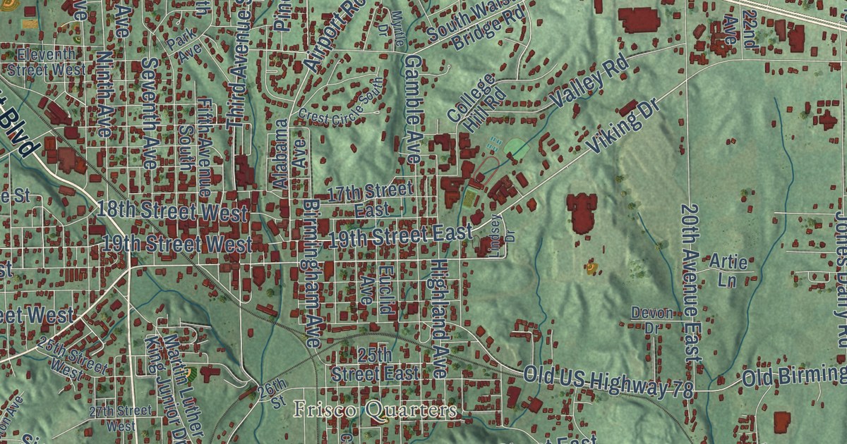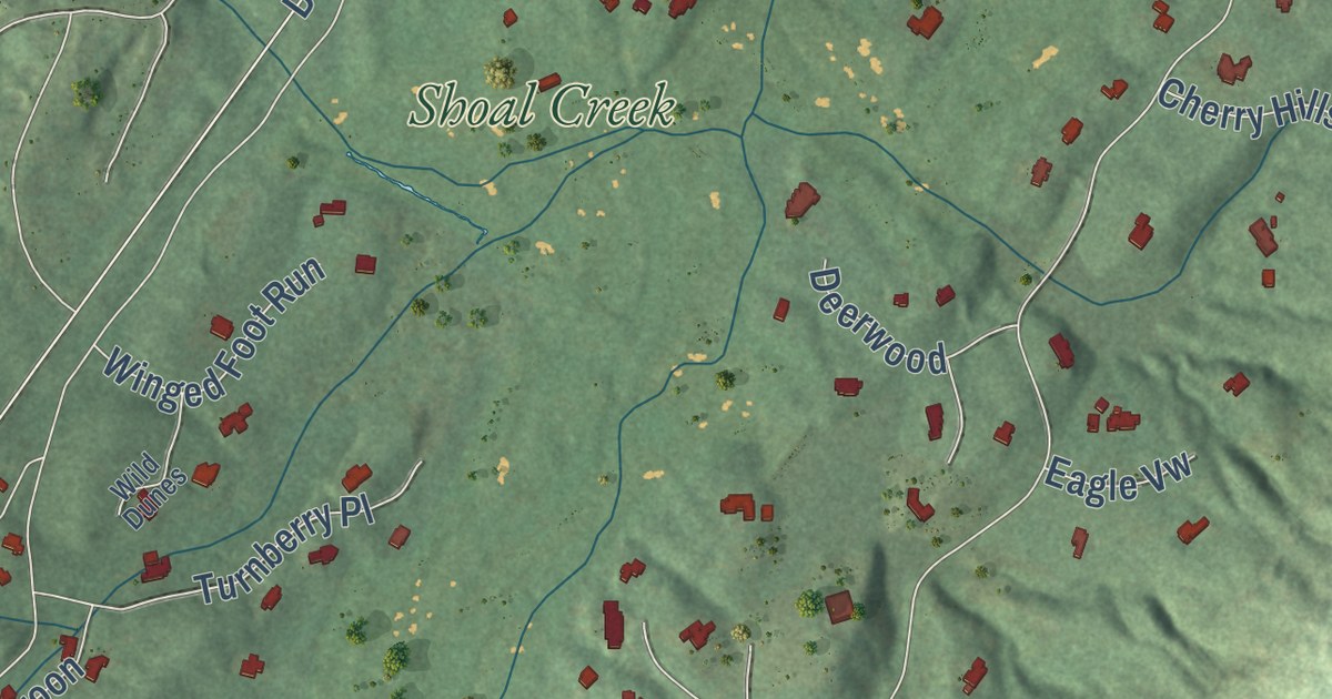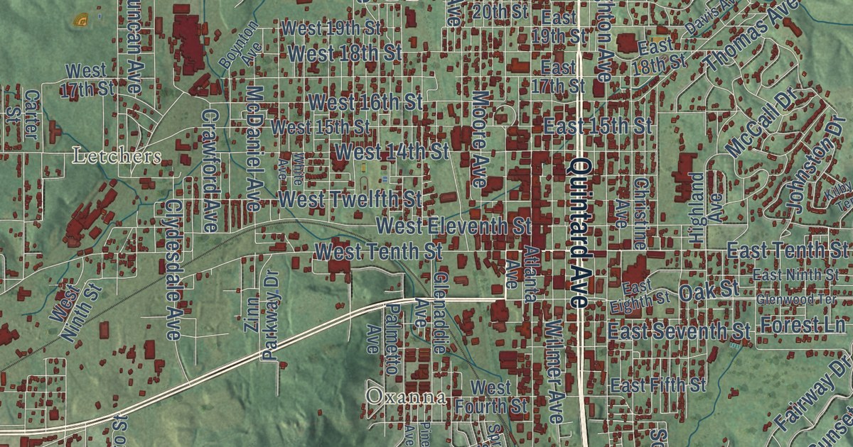
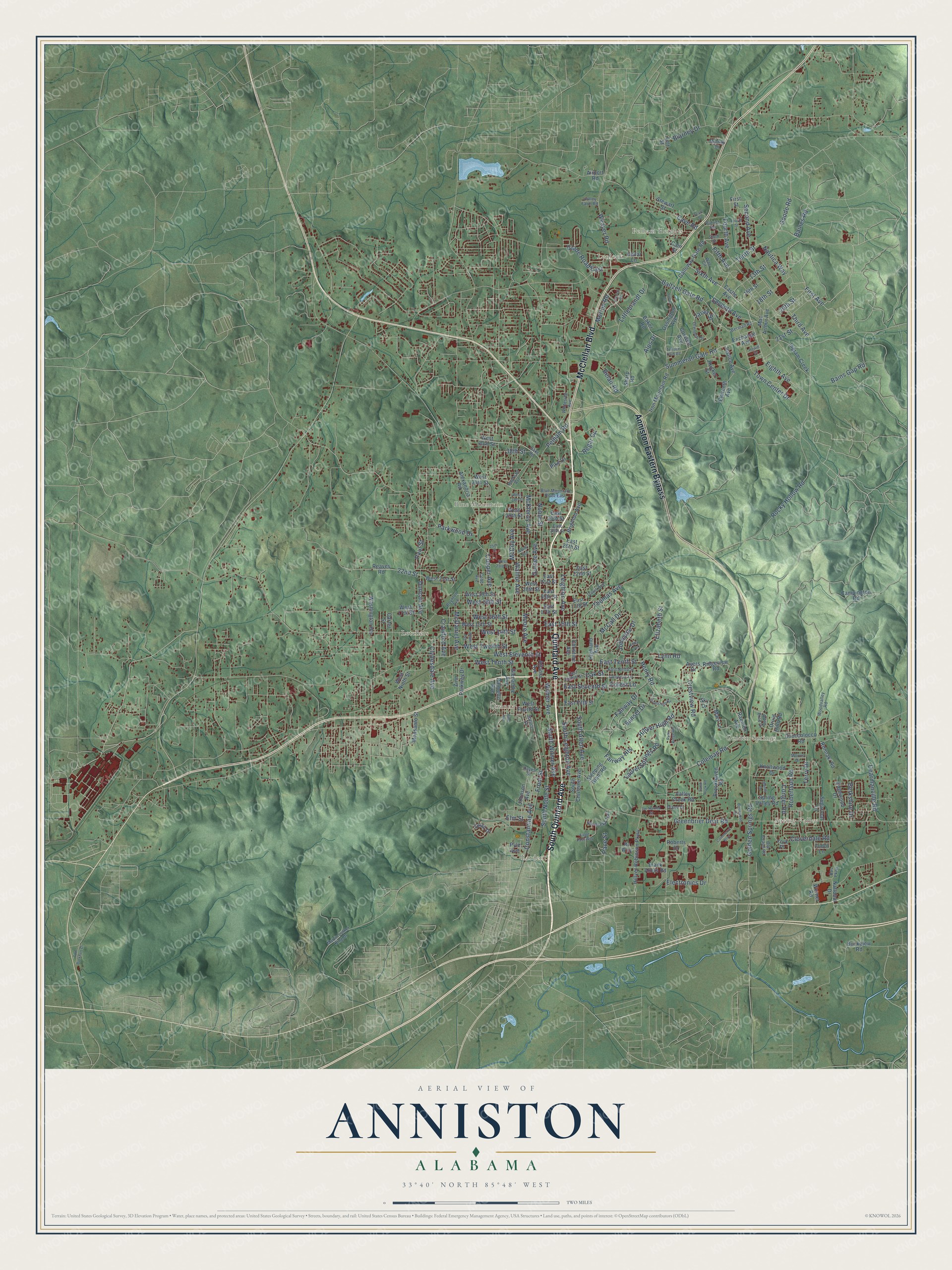
This beautifully detailed map of Anniston, Alabama was created in 2026 using aerial imagery combined with modern topographical, census, street and landmark data. It’s a one-of-a-kind view of Anniston that combines accurate data with a vintage aesthetic. The map shows every building in its true location, many of the roads carry their names, and the shaded topographic relief shows the shape of the land.
Explore an aerial view of Anniston, Alabama
On the map you’ll find Blue Mountain, Golden Springs, Lardent, Lenlock, Letchers, Mechanicsville, Oxanna, Pelham Heights, Sherman Heights, Spring Valley, and Woodland Park, along with South Quintard Avenue, and more. If you look closely you can even find your house accurately drawn in its correct location. Zoom in on the preview to look for yours.
Did you know this piece of Anniston, Alabama history?
From the Encyclopedia of Alabama: "In 1977, citing its deft management of racial crises in the 1960s and 1970s and its progressive nature, the National Civil League named Anniston an All-American City."
Take a closer look at the Anniston map
Street and place names on the Anniston, Alabama map
These names are printed on the map of Anniston, Alabama.
Places: Blue Mountain, Lardent, Spring Valley, Letchers, Lenlock, Golden Springs, Oxanna and Pelham Heights.
Streets and roads: South Quintard Avenue, McClellan Boulevard, Anniston Eastern Bypass, Quintard Avenue, Rocky Hollow Road, First Avenue, Eighth Avenue, 20th Street, Henry Road, East Tenth Street, 22nd Street, 18th Street.
More street names, A to Z
13th Street, 16th Street, 21st Street, 25th Street, 38th Street, Afton Brae Drive, Airport Road, Alexandria Road, Alps Drive, Atlanta Avenue, Avery Drive, Ayers Drive, Baines Road, Bains Gap Road, Baker Road, Baltzell Gate Road, Belair Road, Berkshire Drive, Berman Road, Birchwood Drive, Blarney Drive, Blue Mountain Road East, Boynton Avenue, Brighton Avenue, Brookhaven Road, Buckelew Road, Bus Parkway, Cain Street, Campington Road, Carter Street, Castle Avenue, Cave Road, Cedar Lane, Choccolocco Road, Christine Avenue, Church Road, Cloverdale Road, Clydesdale Avenue, Cobb Avenue, Coleman Road, Commerce Boulevard, Conger Road, Constantine Avenue, Cooper Avenue, Coxwell Avenue, Crawford Avenue, Crestview Road, Davis Avenue, Dearmanville Road, Diana Hills Road, Diane Drive, Drennen Drive, Druid Hills Road, Duncan Avenue, Eagle Pass Way, East 15th Street, East 17th Street, East 18th Street, East 19th Street, East 21st Street, East 22nd Street, East 26th Street, East 28th Street, East 30th Street, East Eighth Street, East Fifth Street, East Ninth Street, East Seventh Street, Edgewood Drive, Electronics Drive, Eleventh Avenue, Elizabeth Street, Elm Street, Exchange Avenue, Fairway Drive, Fairway Heights, Fifth Avenue, First Street, Forest Lane, Fourth Avenue, Fourth Street, Frank Akers Road, Front Street, Galloway Gate Road, Glade Road East, Glenaddie Avenue, Glenwood Terrace, Golden Springs Road, Goode Road, Greenbrier Dear Road, Gurnee Avenue, Hayes Street, Hewitt Drive, Highland Avenue, Hillyer High Road, Hillyer Robinson Parkway, Holley Farm Road, Ingram Creek, Iron Mountain Road, Itc Way, Jarvis Street, Johnson Avenue, Johnston Drive, Justice Avenue, Kilby Terrace, Knollwood Drive, Laurel Springs Road, Leighton Avenue, Lett Street, Littlebrandt Drive, Lynn Road, Mac Arthur Avenue, Martin Luther King Drive, Mary Lane, McCall Drive, McCoy Avenue, McDaniel Avenue, McKleroy Avenue, Midway Lane, Monsanto Street, Moore Avenue, Morris Drive, Morton Road, Mundy Drive, National Drive, Nautica Way, Noble Street, Nocoseka Trail, North Avenue, Oak Street, Old Coach Road, Ossington Avenue, Pace Street, Palmetto Avenue, Parkwood Drive, Patriot Road, Paul Street, Pelham Road, Pike Drive, Pine Avenue, Pyle Avenue, Quail Drive, Raemon Avenue, Railroad Avenue, Reaves Road, Regar Circle, Ridgeview Road, Roberts Drive, Robertson Road, Ronnaki Road, Ruby Ridge Road, Rucker Street, Saks Road, Sand Rock Road, Scott Street, Second Avenue, Seventh Avenue, Sharp Road, Sixth Avenue, Sixth Street, Sky Drive, Sleeping Giant Road, South Allen Avenue, South Christine Avenue, South Leighton Avenue, South Noble Street, South Wilmer Avenue, Spring Valley Road, Spruce Street, Stewart Street, Sugarloaf Lane, Summerall Gate Road, Sunset Drive, Tenth Street, Terrace Club Road, Terry Drive, Third Avenue, Thomas Avenue, Tom Burkhart Drive, Town Center Drive, Tudor Lane, Un-Named Street, Valley Creek Road, Wac Circle, Walnut Avenue, Washington Heights, Weaver Road, Werner Road, West 14th Street, West 15th Street, West 16th Street, West 17th Street, West 18th Street, West 19th Street, West 20th Street, West 21st Street, West 23rd Street, West 29th Street, West 31st Street, West 34th Street, West 40th Street, West Eleventh Street, West Fourth Street, West Ninth Street, West Tenth Street, West Twelfth Street, White Avenue, Whiteside Avenue, Wilmer Avenue, Woodvalley Road, York Place, Zinn Parkway Drive.
See the Anniston, Alabama map on a wall
The Anniston map as an 18 x 24 inch print in a black frame.

This beautifully detailed map of Anniston makes an attractive addition to your office, library, or den, and it can even be used to teach children the geography and history of the area. It also makes a great gift for someone who left Anniston and still calls it home. When you’re done exploring, click here to get your copy of the Anniston map.