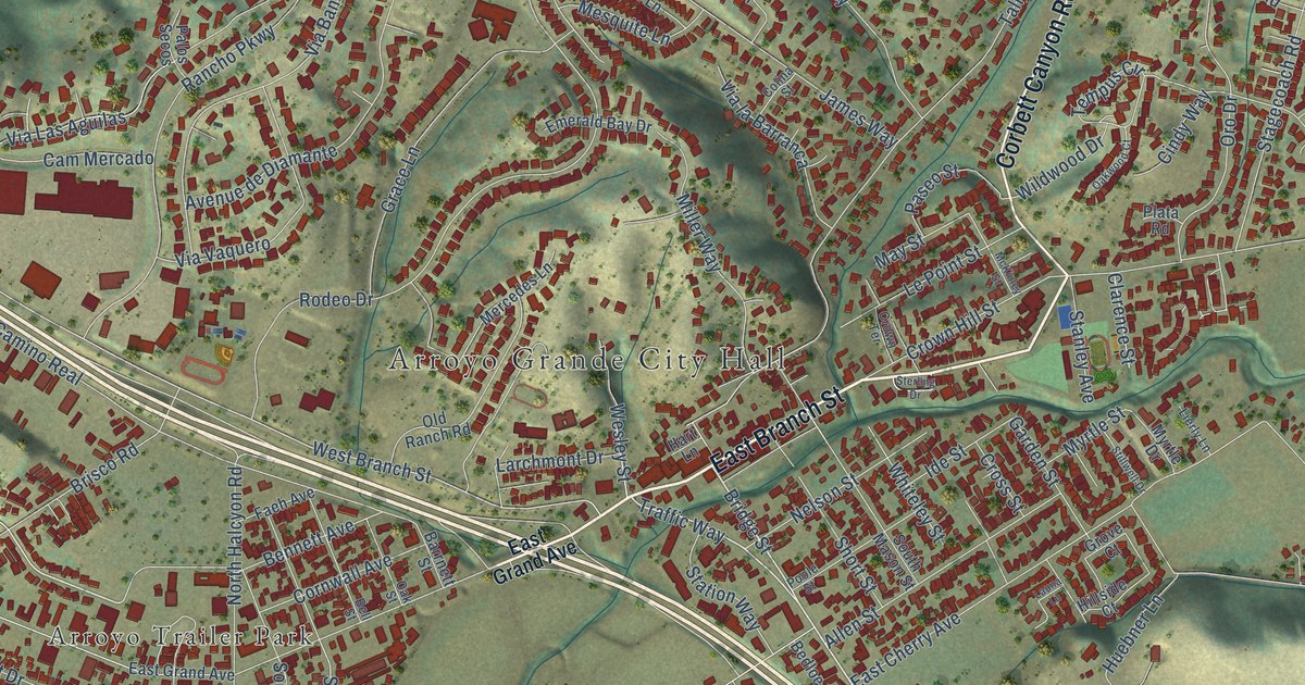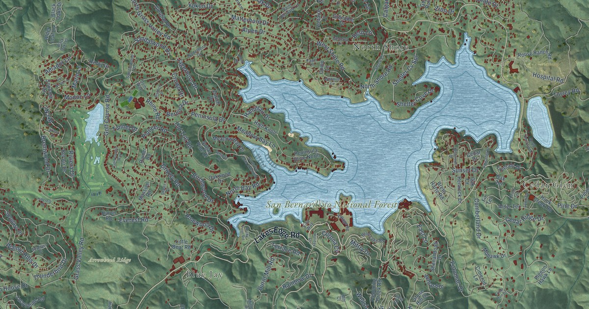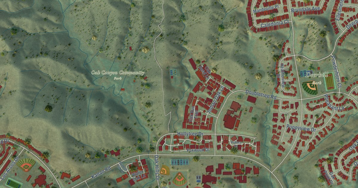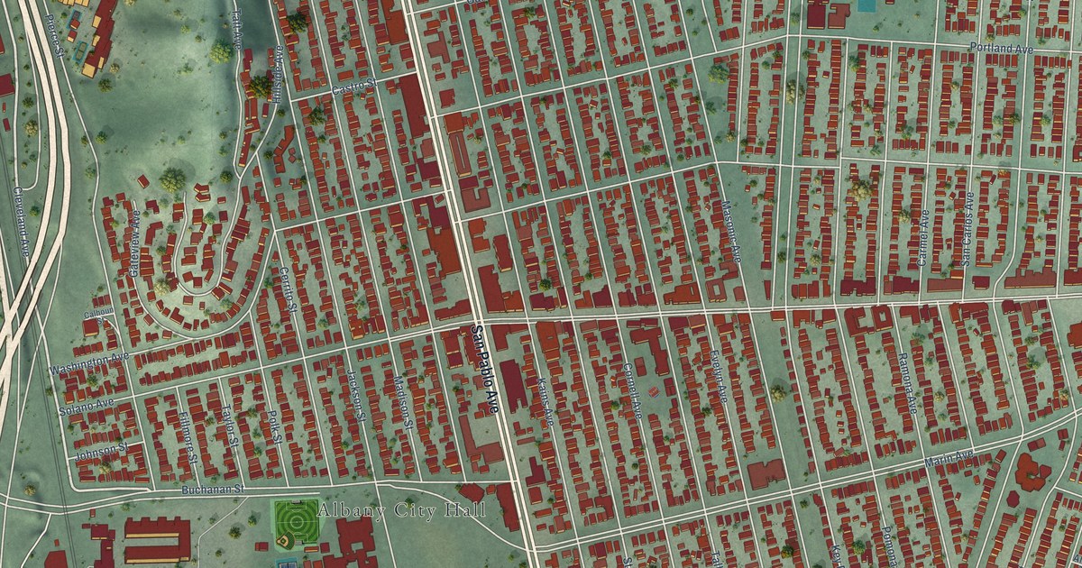
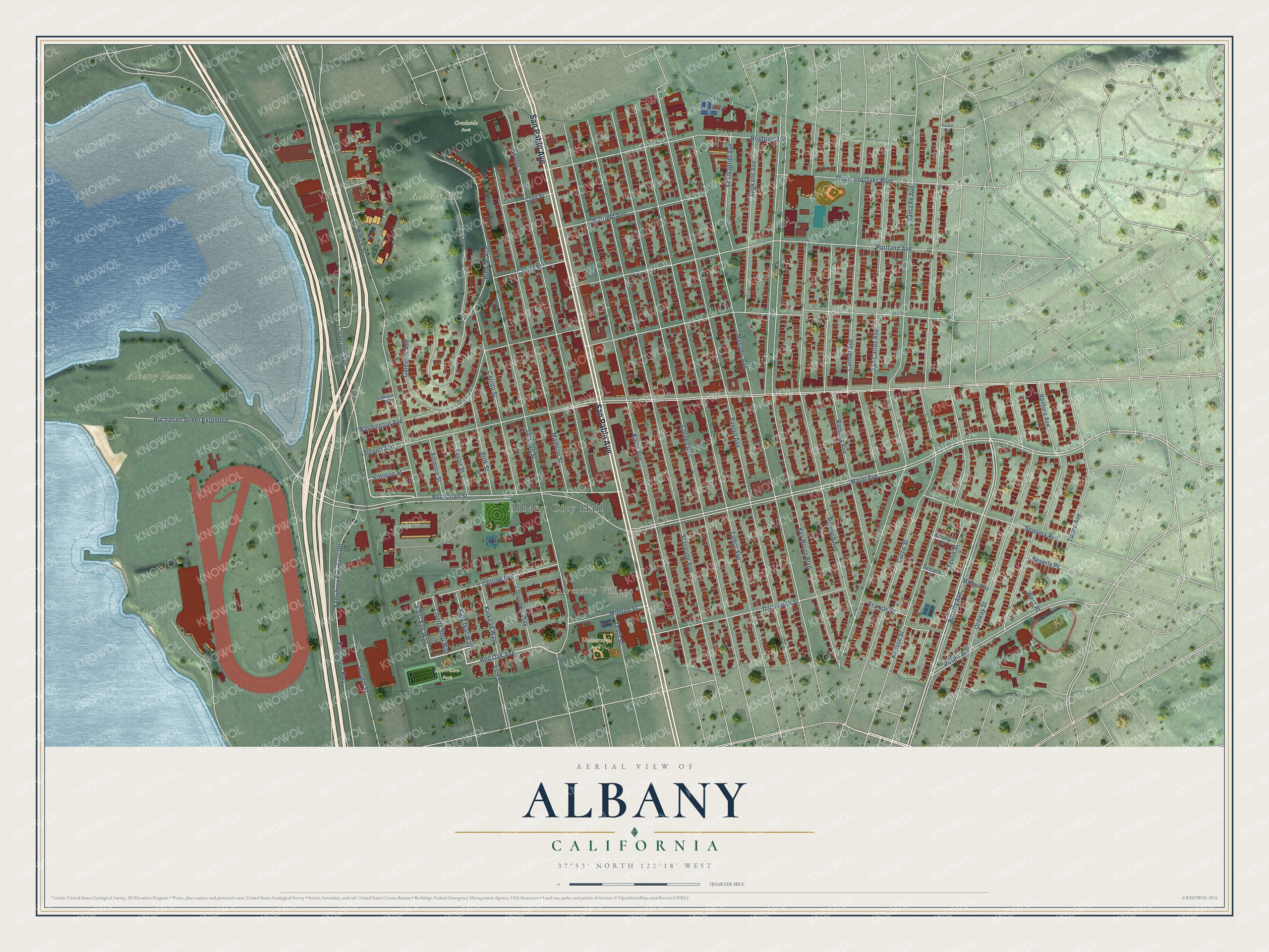
This beautifully detailed map of Albany, California was created in 2026 using aerial imagery combined with modern topographical, census, street and landmark data. It's a modern aerial view of Albany in Alameda County, California, that combines modern data with a vintage aesthetic. The roads feature printed names, and if you look closely you can find your exact house accurately shown in its correct location.
Explore an aerial view of Albany, California
On this map you'll find Albany City Hall, University Village, Albany Hill Park, Albany Plateau, Creekside Park, Harrison Park, University Park, San Pablo Avenue, Red Oak Avenue, West End Way, Cleveland Avenue, Buchanan Street, and more. Each red shape is a building, so zoom in on the preview and look for yours.
Albany has a story worth telling. The National Register of Historic Places puts it this way: "It is thus alsora remnant of •
the social upheaval that followed the earthquake and Q\ the history of Albany."
Albany is a city in Alameda County. The Census Bureau counted 20,271 people here in 2020.
Take a closer look at the Albany map
Names on this map
These names are printed on this map.
Places: Albany City Hall, University Village, Albany Hill Park, Albany Plateau, Creekside Park, Harrison Park and University Park.
Streets and roads: San Pablo Avenue, Red Oak Avenue, West End Way, Cleveland Avenue, Buchanan Street, Peralta Avenue, Solano Avenue, Marin Avenue, Key Route Boulevard, Washington Avenue, Evelyn Avenue, Talbot Avenue.
More street names, A to Z
Adams Street, Albany Terrace, Beverly Place, Brighton Avenue, Buchanan Street Extended, Calhoun Street, Carmel Avenue, Castro Street, Cerrito Street, Clay Street, Cornell Avenue, Curtis Street, Dartmouth Street, Eastshore Frontage Road, Eastshore Highway, Eighth Street, Fillmore Street, Francis Street, Garfield Avenue, Gateview Avenue, Gooding Way, Hillside Avenue, Jackson Street, Johnson Street, Kains Avenue, Kinkead Way, Kula Gulf Way, Liberty Ship Way, Madison Street, Manor Way, Masonic Avenue, Monroe Street, Neilson Street, Ohlone Avenue, Ordway Street, Pierce Street, Polk Street, Pomona Avenue, Portland Avenue, Posen Avenue, Ramona Avenue, San Carlos Avenue, San Gabriel Avenue, Santa Fe Avenue, Second Street, Sixth Street, Sonoma Avenue, Spokane Avenue, Stannage Avenue, Taft Avenue, Taylor Street, Tenth Street, Terrace Street, Tevlin Street, Thousand Oaks Boulevard, Tulare Avenue, Ventura Avenue, Visalia Avenue, West Place.
Created by KNOWOL in 2026. The buildings are small red shapes, the roads carry their printed names, and shaded relief shows the shape of the land. The title panel reads "AERIAL VIEW OF ALBANY CALIFORNIA" with 37°53' NORTH 122°18' WEST.
It looks right in a kitchen, an office or a den, and it's a gift for anyone who grew up in Albany or moved away. Open the preview and find your street. See sizes and frames for the Albany map.