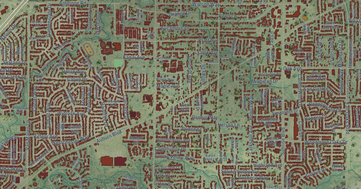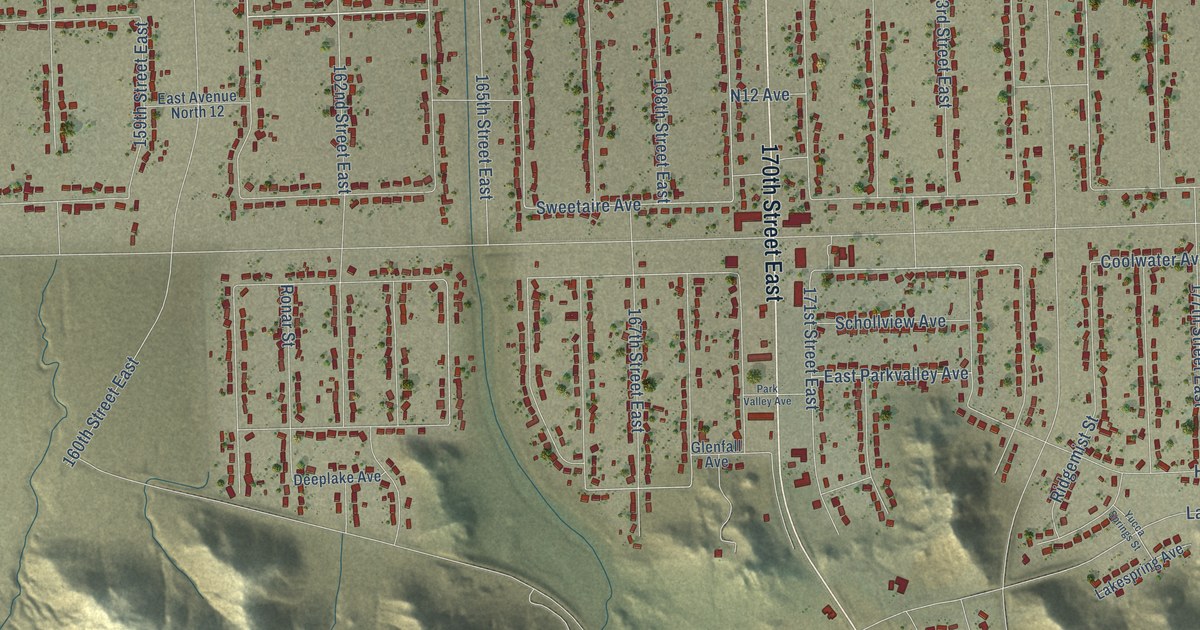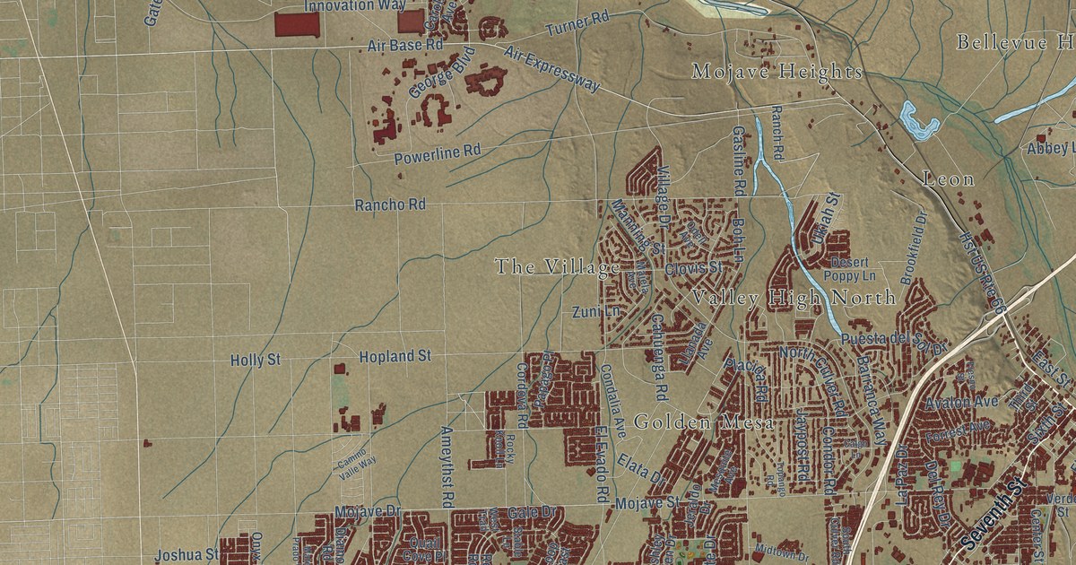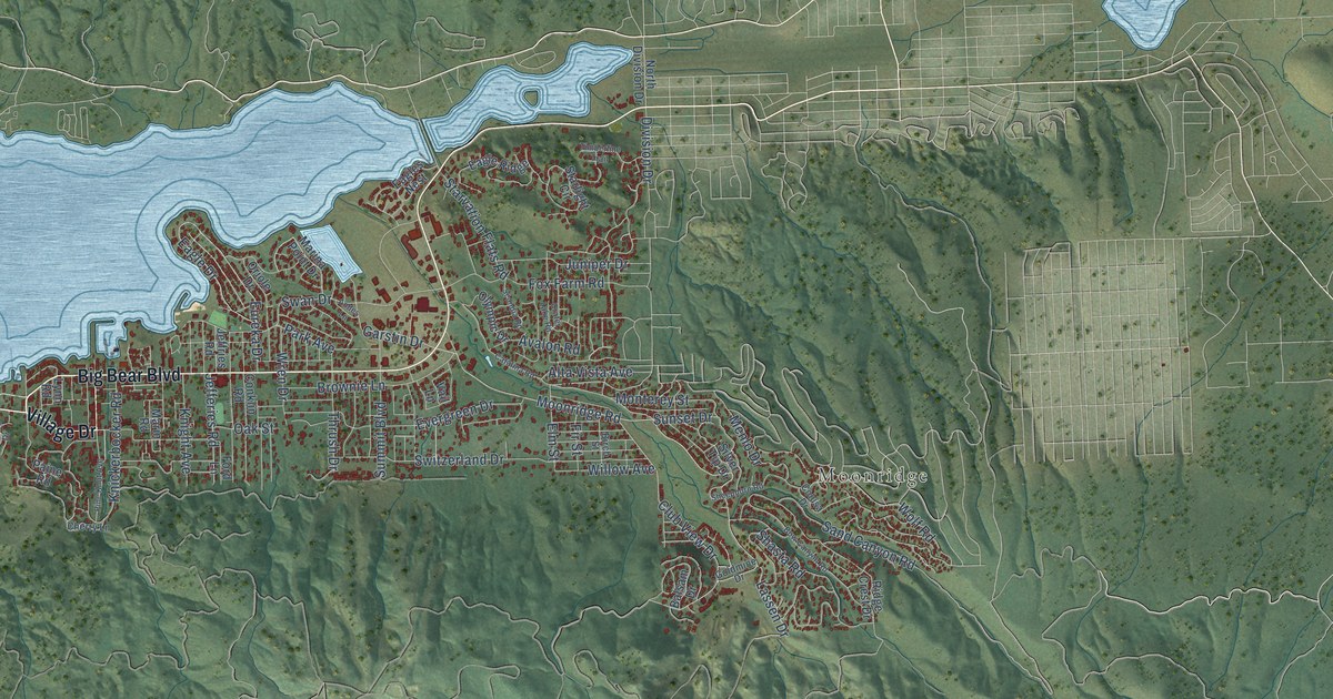
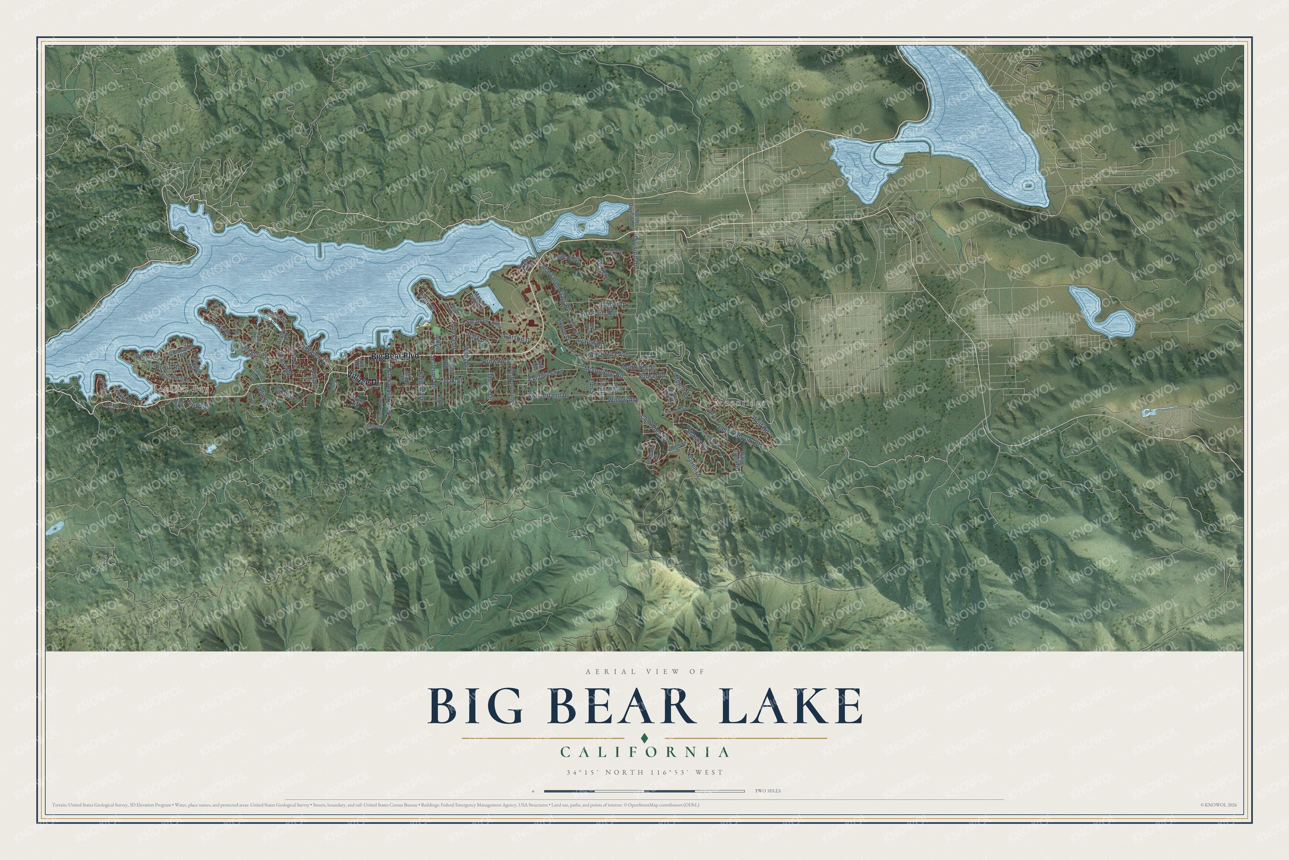
This beautifully detailed map of Big Bear Lake, California was created in 2026 using aerial imagery combined with modern topographical, census, street and landmark data. It's a modern aerial view of Big Bear Lake in San Bernardino County, California, that combines modern data with a vintage aesthetic. The roads feature printed names, and if you look closely you can find your exact house accurately shown in its correct location.
Explore an aerial view of Big Bear Lake, California
On this map you'll find Boulder Bay, Moonridge, Village Drive, Big Bear Boulevard, Lassen Drive, Moonridge Road, Lakeview Drive, Club View Drive, Elm Street, Eureka Drive, Starvation Flats Road, Fox Farm Road, and more. Each red shape is a building, so zoom in on the preview and look for yours.
Big Bear Lake has a story worth telling. The California Historical Landmarks puts it this way: "The single-arch granite dam formed Big Bear Lake, then the world's largest man-made lake."
Big Bear Lake is a city in San Bernardino County. The Census Bureau counted 5,046 people here in 2020.
Take a closer look at the Big Bear Lake map
Names on this map
These names are printed on this map.
Places: Boulder Bay and Moonridge.
Streets and roads: Village Drive, Big Bear Boulevard, Lassen Drive, Moonridge Road, Lakeview Drive, Club View Drive, Elm Street, Eureka Drive, Starvation Flats Road, Fox Farm Road, Forest Road, Sand Canyon Road.
More street names, A to Z
Alta Vista Avenue, Andes Lane, Arroyo Drive, Avalon Road, Balsam Drive, Birch Street, Bow Canyon Road, Brier Trail, Brownie Lane, Canvas Back Road, Catalina Road, Cherry Lane, Chincapin Road, Cienega Road, Colusa Drive, Conklin Road, Cove Drive, Cove Road, Crater Lake Road, Division Drive, Eagle Drive, Eagle Ridge, Eagles Nest, Edgemoor Road, Evergreen Drive, Fir Street, Ford Lane, Garstin Drive, Goldmine Drive, Hillcrest Drive, Iris Drive, Jefferies Road, Jeffries Road, Juniper Drive, Knickerbocker Road, Knight Avenue, Knoll Road, Lagunita Lane, Lake Drive, Lark Road, Lynn Road, Marina Point Drive, Marin Road, Menlo Drive, Modoc Drive, Monterey Street, North Bay Drive, North Division Drive, Oak Street, Olympic Drive, Oriole Drive, Paine Road, Park Avenue, Pine Knot Avenue, Prairie Lane, Ridge Crest Drive, Robin Road, Round Road, Scandia Road, Shasta Road, Sheephorn Road, Silver Tip Drive, Starlight Circle, Summit Boulevard, Sunset Drive, Swan Drive, Switzerland Drive, Talbot Drive, Temple Lane, Thrush Drive, Timberline Trail, Tulip Lane, Vail Lane, Vista Lane, Waterview Drive, Willow Avenue, Wolf Road, Wren Drive.
Created by KNOWOL in 2026. The buildings are small red shapes, the roads carry their printed names, and shaded relief shows the shape of the land. The title panel reads "AERIAL VIEW OF BIG BEAR LAKE CALIFORNIA" with 34°15' NORTH 116°53' WEST.
It looks right in a kitchen, an office or a den, and it's a gift for anyone who grew up in Big Bear Lake or moved away. Open the preview and find your street. See sizes and frames for the Big Bear Lake map.