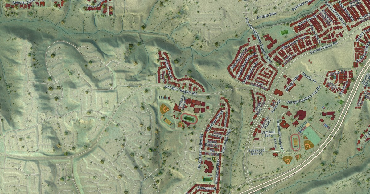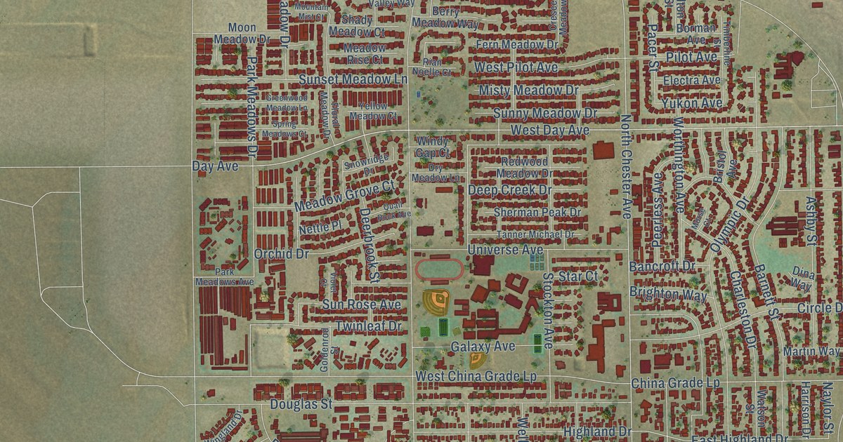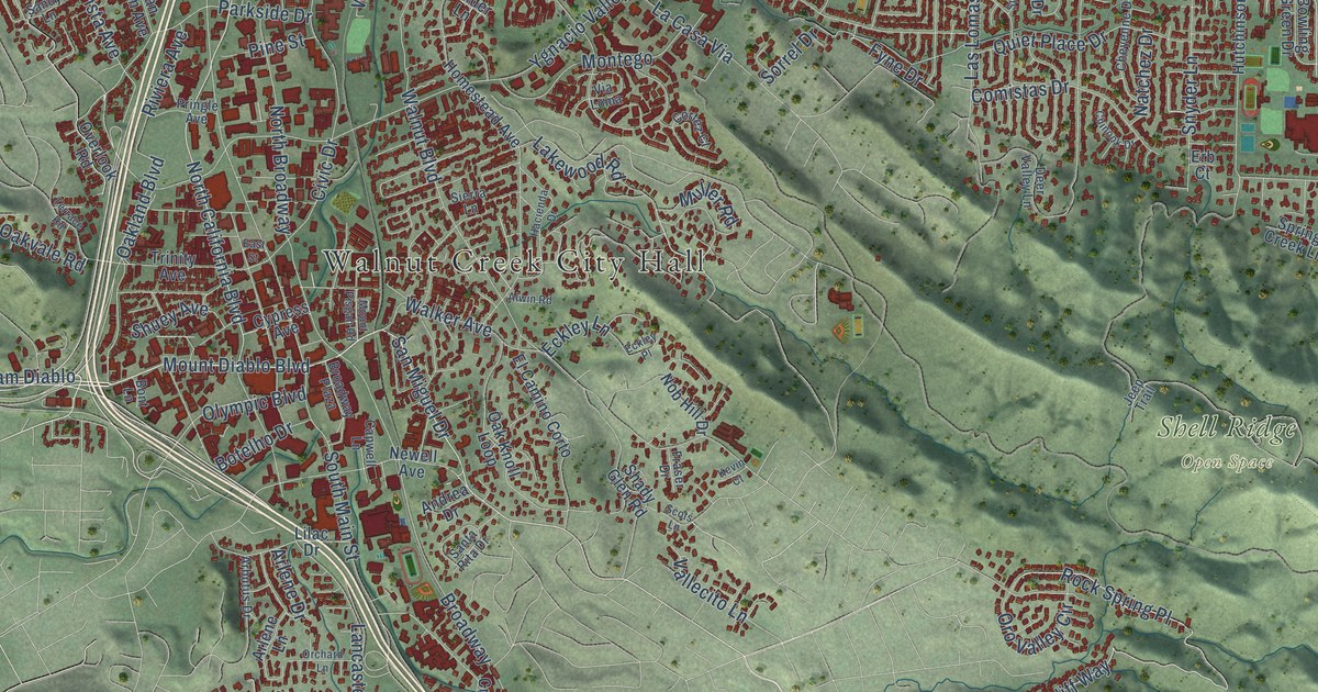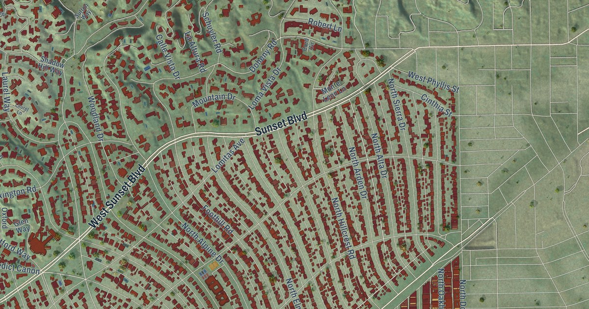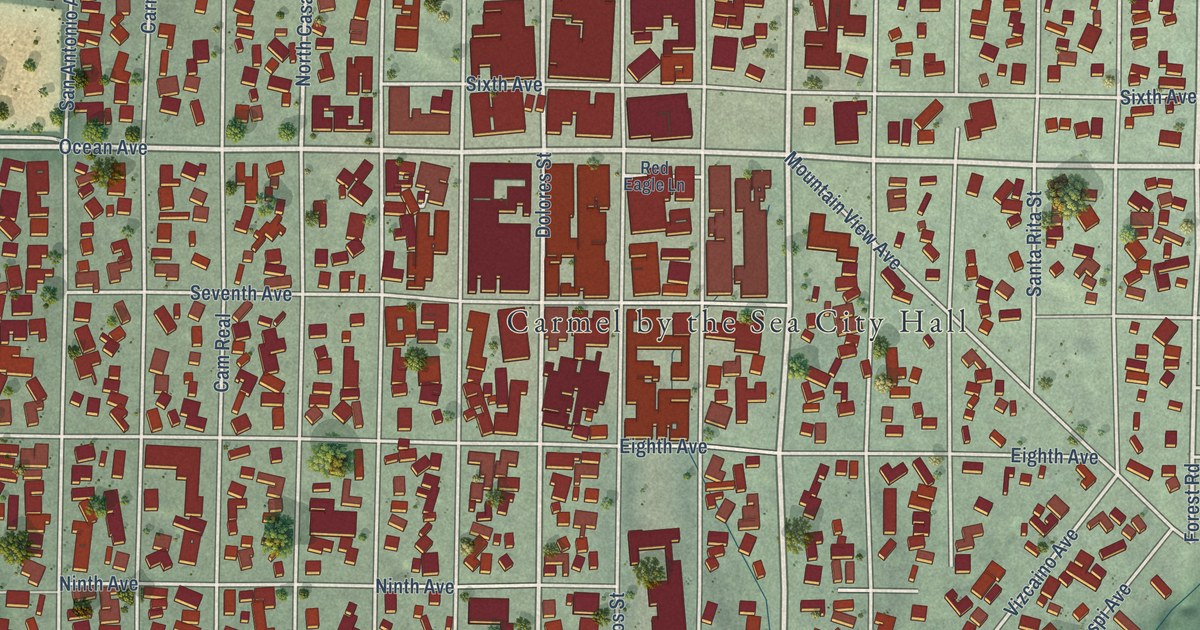
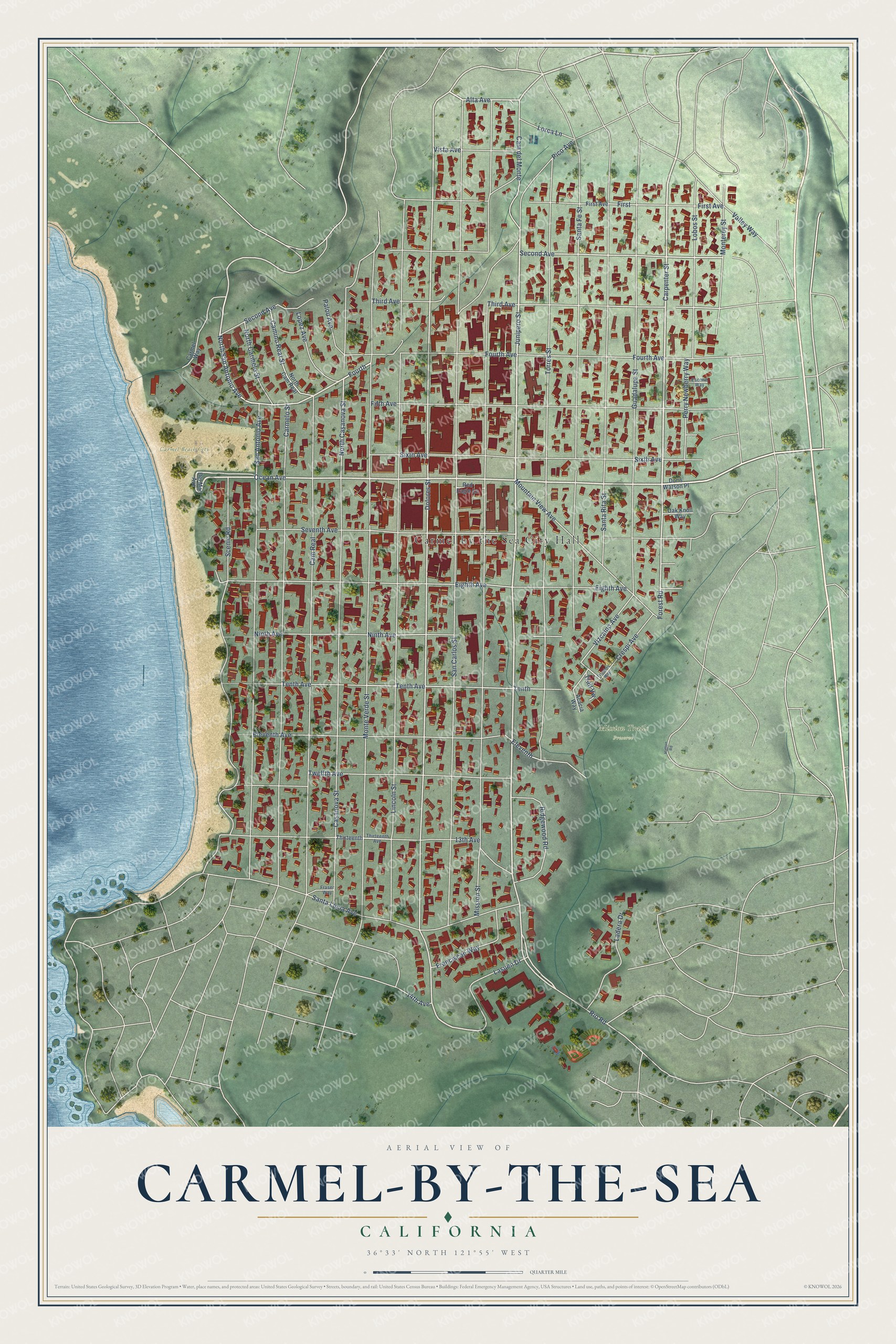
This beautifully detailed map of Carmel-by-the-Sea, California was created in 2026 using aerial imagery combined with modern topographical, census, street and landmark data. It's a modern aerial view of Carmel-by-the-Sea in Monterey County, California, that combines modern data with a vintage aesthetic. The roads feature printed names, and if you look closely you can find your exact house accurately shown in its correct location.
Explore an aerial view of Carmel-by-the-Sea, California
On this map you'll find Carmel by the Sea City Hall, Carmel Beach City Park, Mission Trails Preserve, Junipero Street, Carpenter Street, Ocean Avenue, Cam del Monte, North San Antonio Avenue, Rio Road, Fourth Avenue, Dolores Street, Forest Road, and more. Each red shape is a building, so zoom in on the preview and look for yours.
Carmel-by-the-Sea has a story worth telling. The National Register of Historic Places puts it this way: "The Sunset School, the only public school ever to be built
within the City of Carmel-By-The-Sea, contributed all of the structures of the Sunset Center."
Carmel-by-the-Sea is a city in Monterey County. The Census Bureau counted 3,220 people here in 2020.
Take a closer look at the Carmel-by-the-Sea map
Names on this map
These names are printed on this map.
Places: Carmel by the Sea City Hall, Carmel Beach City Park and Mission Trails Preserve.
Streets and roads: Junipero Street, Carpenter Street, Ocean Avenue, Cam del Monte, North San Antonio Avenue, Rio Road, Fourth Avenue, Dolores Street, Forest Road, Alta Avenue, Fourth, Second Avenue.
More street names, A to Z
13th Avenue, 14th Avenue, Acacia Way, Camino Real Street, Cam Real, Carmelo Street, Carmel Way, Casanova Street, Crespi Avenue, Del Mar Avenue, Doris Watson Place, Eighth Avenue, Eleventh, Eleventh Avenue, Escolle Way, Fifth Avenue, First, First Avenue, Flanders Way, Franciscan Way, Fraser Way, Guadalupe Street, Hatton Road, Ladera Drive, Lasuen Drive, Lincoln Street, Lobos Street, Lopez Avenue, Lorca Lane, Mission Street, Monterey Street, Monte Verde Street, Mountain View Avenue, Ninth Avenue, North Cam Real, North Carmelo Street, North Casanova Street, Oak Knoll Way, Palou Avenue, Perry Newberry Way, Pico Avenue, Red Eagle Lane, Ridgewood Road, San Antonio Avenue, San Carlos Street, Santa Fe Street, Santa Lucia Avenue, Santa Rita Street, Scenic Road, Seventh Avenue, Sixth Avenue, Tenth, Tenth Avenue, Third Avenue, Thirteenth, Thirteenth Avenue, Torres Street, Trail Vw, Twelfth Avenue, Valley Way, Vista Avenue, Vizcaino Avenue.
Created by KNOWOL in 2026. The buildings are small red shapes, the roads carry their printed names, and shaded relief shows the shape of the land. The title panel reads "AERIAL VIEW OF CARMEL-BY-THE-SEA CALIFORNIA" with 36°33' NORTH 121°55' WEST.
It looks right in a kitchen, an office or a den, and it's a gift for anyone who grew up in Carmel-by-the-Sea or moved away. Open the preview and find your street. See sizes and frames for the Carmel-by-the-Sea map.