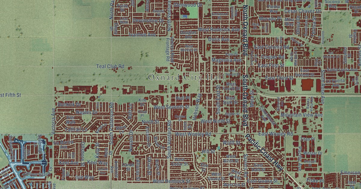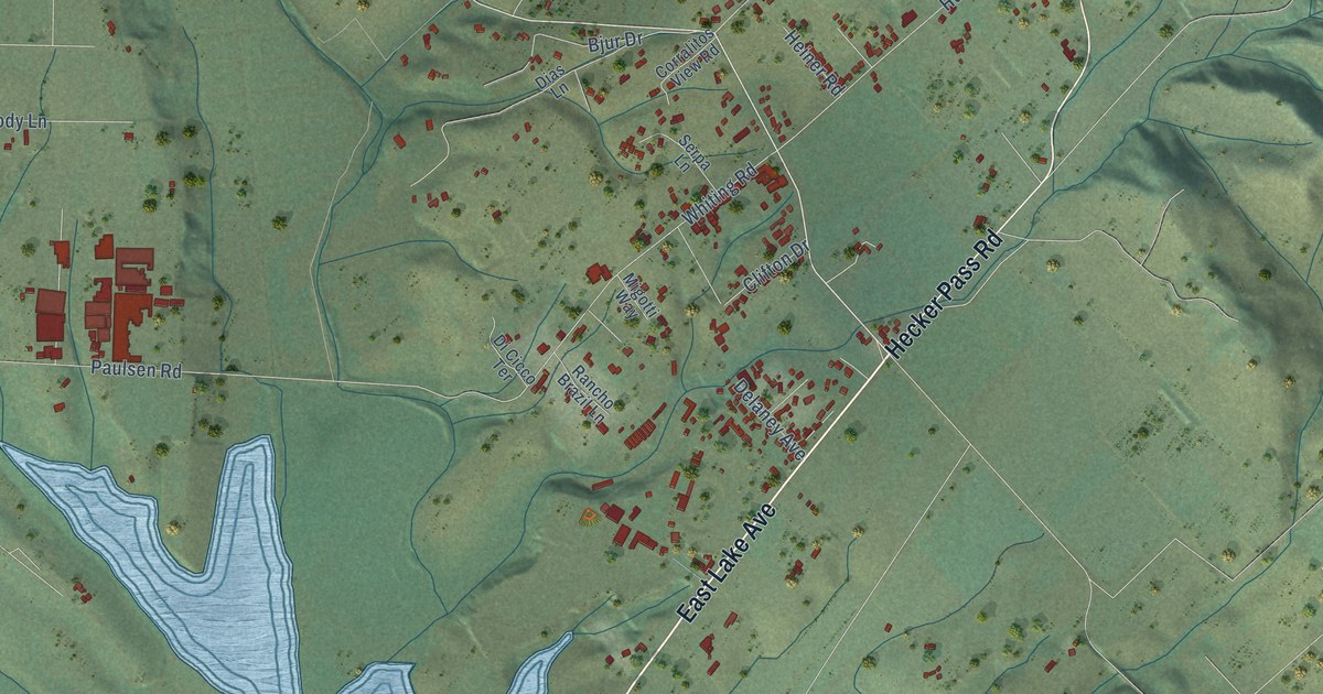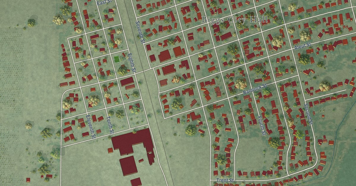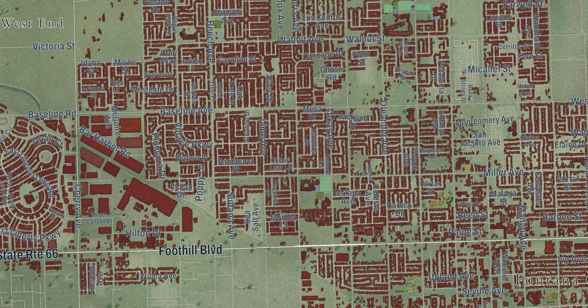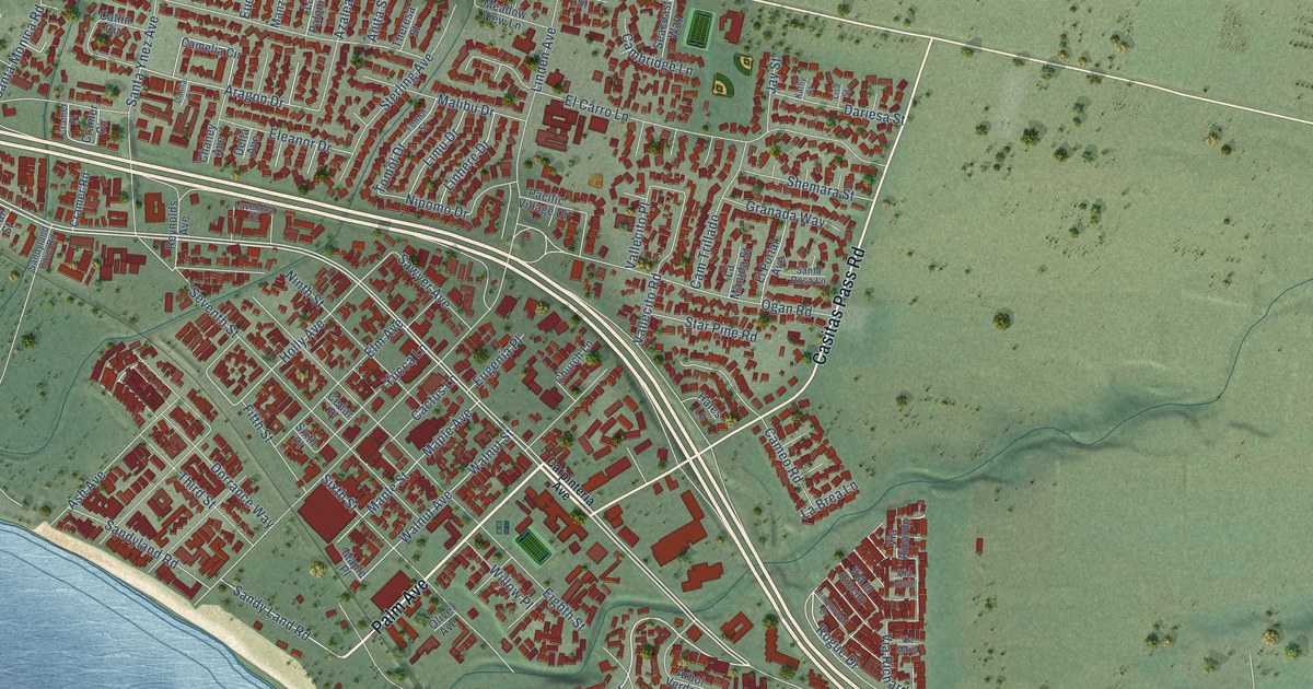
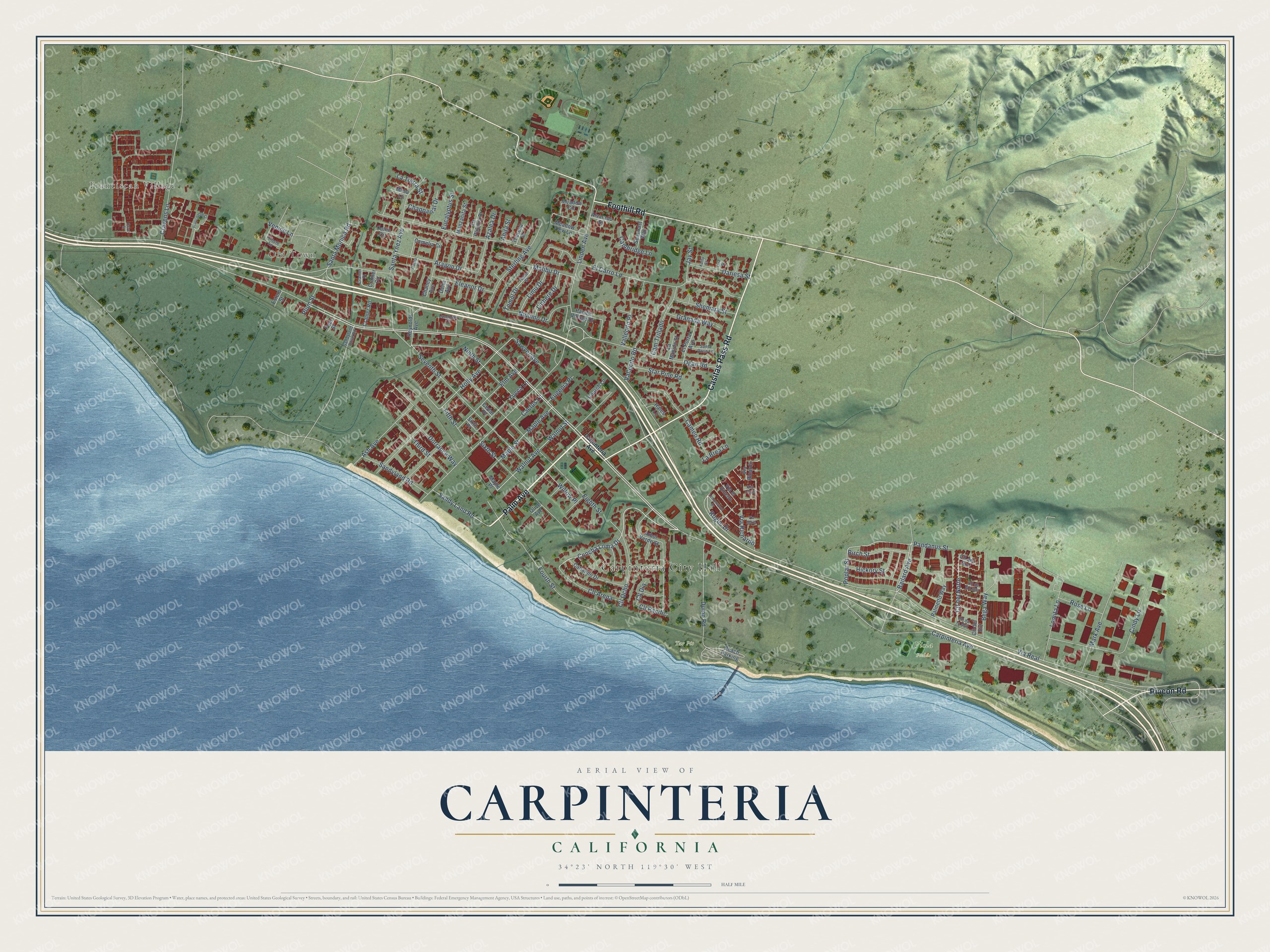
This beautifully detailed map of Carpinteria, California was created in 2026 using aerial imagery combined with modern topographical, census, street and landmark data. It's a modern aerial view of Carpinteria in Santa Barbara County, California, that combines modern data with a vintage aesthetic. The roads feature printed names, and if you look closely you can find your exact house accurately shown in its correct location.
Explore an aerial view of Carpinteria, California
On this map you'll find Carpinteria City Hall, Franciscan Village, Old Town, Tar Pit Park, Viola Fields, Palm Avenue, Casitas Pass Road, Foothill Road, Rincon Road, Carpinteria Avenue, Concha Loma Drive, Sandy Land Road, and more. Each red shape is a building, so zoom in on the preview and look for yours.
Every town has a first chapter, and Carpinteria is no exception. The record at ohp.parks.ca.gov puts it this way: "The Chumash Indian village of Mishopshnow, discovered by Juan Rodríguez Cabrillo on August 14, 1542, was located one-fourth mile southwest of the monument."
Carpinteria is a city in Santa Barbara County. The Census Bureau counted 13,264 people here in 2020.
Take a closer look at the Carpinteria map
Names on this map
These names are printed on this map.
Places: Carpinteria City Hall, Franciscan Village, Old Town, Tar Pit Park and Viola Fields.
Streets and roads: Palm Avenue, Casitas Pass Road, Foothill Road, Rincon Road, Carpinteria Avenue, Concha Loma Drive, Sandy Land Road, Holly Avenue, Rogue Drive, Bailard Avenue, Via Real, Seventh Street.
More street names, A to Z
Alvarado Street, Anita Street, Aragon Drive, Arbol Verde Street, Ash Avenue, Azalea Drive, Beach Parking, Bega Way, Birch Street, Cactus Lane, Cambridge Lane, Camelia Circle, Cameo Road, Cam Trillado, Canalino Drive, Catlin Circle, Cedar Place, Chaney Avenue, Chapparral Drive, Church Lane, Cindy Lane, Cll Arena, Cll de la Luna, Cll de la Mar, Cll del Norte, Cll del Sol, Cll del Sur, Cll Dia, Cll Ocho, Cll Pacific, Cove Street, Cramer Circle, Cramer Place, Cramer Road, Cravens Lane, Dahlia Court, Dariesa Street, Delta Avenue, Dorrance Way, Dump Road, Eighth Street, El Carro Lane, Eleanor Drive, Elm Avenue, El Portal Avenue, Estero Street, Eucalyptus Street, Eugenia Place, Fifth Street, Fourth Street, Franciscan Court, Granada Way, Hales Lane, Hickory Street, Jay Street, Kathy Street, La Brea Lane, La Manida Street, La Paloma Drive, La Tierra Street, Lavender Court, Lemonwood Drive, Limu Drive, Linden Avenue, Linhere Drive, Lisa Street, Lomita Lane, Malibu Drive, Manzanita Street, Maple Avenue, Maple Place, Maple Street, Mark Avenue, Meadow Circle, Meadow View Lane, Mesa Lane, Ninth Street, Nipomo Drive, Ogan Road, Olive Avenue, Pacific Village Drive, Palmetto Way, Pandanus Street, Pear Street, Plum Street, Poplar Street, Reynolds Avenue, Rose Lane, Sandyland Cove Road, Sandyland Road, Santa Monica Road, Santa Rosa Lane, Santa Ynez Avenue, Sawyer Avenue, Seacoast Way, Shemara Street, Sixth Place, Sixth Street, Star Pine Road, Sterling Avenue, Theresa Street, Third Street, Tomol Drive, Tomol Street, Trieste Lane, Vallecito Place, Vallecito Road, Venice Lane, Via el Rincon, Via Elsie, Via Maria, Via Ricardo, Via Richardo, Walnut Avenue, Walnut Street, Willow Place, Yucca Lane.
Created by KNOWOL in 2026. The buildings are small red shapes, the roads carry their printed names, and shaded relief shows the shape of the land. The title panel reads "AERIAL VIEW OF CARPINTERIA CALIFORNIA" with 34°23' NORTH 119°30' WEST.
Hang it in the hallway, the office or the cabin, or give it to someone who left Carpinteria and still calls it home. Open the preview and look for a street you know. See sizes and frames for the Carpinteria map.