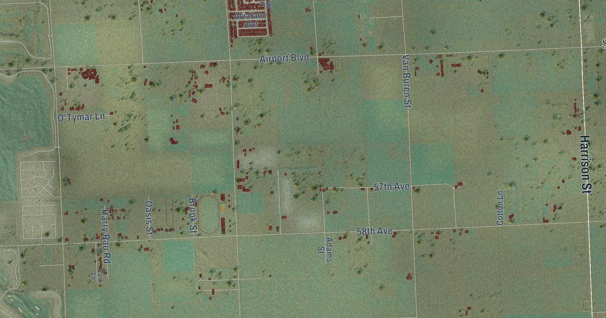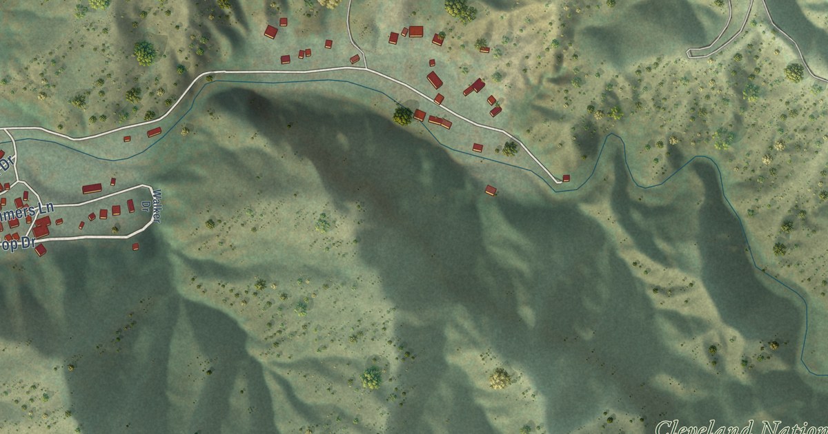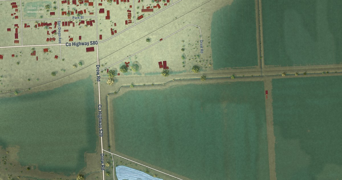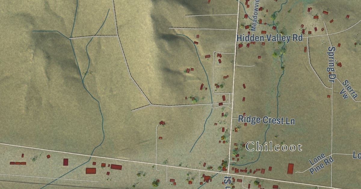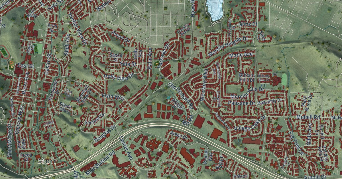
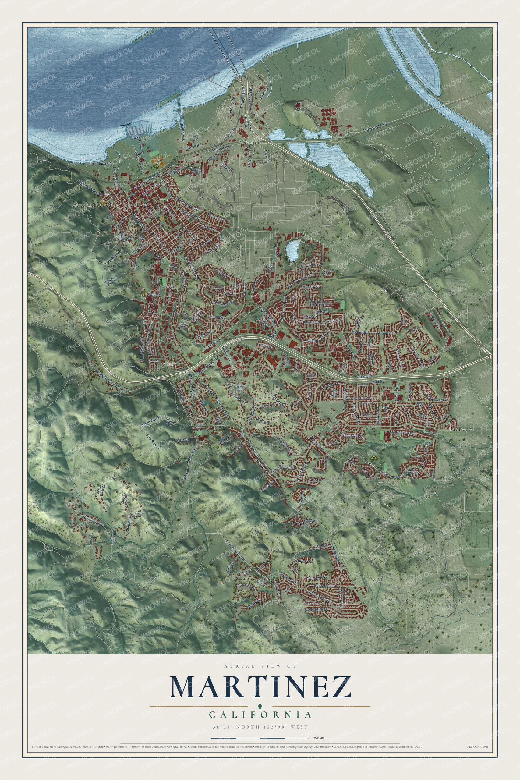
This beautifully detailed map of Martinez, California was created in 2026 using aerial imagery combined with modern topographical, census, street and landmark data. It’s a one-of-a-kind view of Martinez that combines accurate data with a vintage aesthetic. The map shows every building in its true location, many of the roads carry their names, and the shaded topographic relief shows the shape of the land.
Explore an aerial view of Martinez, California
On the map you’ll find Martinez City Hall, Mococo, Muir, and Pacheco, along with Morello Avenue, Pine Street, Berrellesa Court, Court Street, Likens Avenue, Likins Avenue, Sunrise Drive, Vista Way, and more. If you look closely you can even find your house accurately drawn in its correct location. Zoom in on the preview to look for yours.
Did you know this piece of Martinez, California history?
From Ohp.parks.ca.gov: "Martínez built this adobe on Rancho Pinole, which had been granted to Ignacio Martínez in 1836."
Take a closer look at the Martinez map
Street and place names on the Martinez, California map
These names are printed on the map of Martinez, California.
Places: Martinez City Hall, Mococo, Muir and Pacheco.
Streets and roads: Morello Avenue, Pine Street, Berrellesa Court, Court Street, Likens Avenue, Likins Avenue, Sunrise Drive, Vista Way, Berrellesa Street, Canyon Way, Pacheco Boulevard, Arabian Heights.
More street names, A to Z
Alhambra Avenue, Alhambra Hills Drive, Alhambra Valley Road, Alhambra Way, Allen Street, Amorco, Amorco Road, Appalachian Way, Arana Drive, Arch Street, Arnold Drive, Ashwood Drive, Augustine Drive, Banbury Loop, Basin Road, Beechwood Drive, Benham Drive, Berrellessa Street, Blue Ridge Drive, Briar Drive, Bridgehead, Bridgehead Road, Bridge Loop, Brittany Hills Court, Brittany Hills Drive, Brookside Drive, Brown Street, Bryce Drive, Buckley Street, Bush Street, Carquinez Scenic Drive, Carter Acres Lane, Castro Street, Center Avenue, Chattswood Drive, Chelsea Drive, Chilpancingo Parkway, Christie Drive, Cll Verde, Corte Briones, Costanza Drive, Country Run Drive, Crestview Avenue, Dana Street, Deer Creek Drive, Deerwood Drive, Diablo Way, Donegal Way, Douglas Drive, Duncan Street, Eastgate Lane, East Street, Elderwood Drive, Endriss Drive, Escobar Street, Escondido Drive, Estudillo Street, Ferry Street, Fig Tree Lane, Fire Road, Fire Road 2, Fountainhead Court, Foxhill Drive, Francis Drive, Franklin Canyon Road, Freda Court, Geneva Street, Gilbert Court, Gilda Avenue, Gilrix Court, Glacier Court, Glacier Drive, Glenview Drive, Grandview Avenue, Green Street, Haag Road, Hampton Road, Harbor View Drive, Haven Street, Heatherleaf Lane, Heavenly Drive, Hidden Lakes Drive, Hiller Lane, Hillside Drive, Hilltop Road, Holiday Hills Drive, Holly View Drive, Horizon Drive, Howe Road, Hull Lane, Isabel Drive, Jeanne Circle, John Muir Road, Kelly Avenue, Kim Court, Lake Oaks Court, Lang Street, Lasalle Street, Las Animas Drive, Lassen Drive, Laurel Court, Ldu Drive, Lester Road, Linden Lane, Lindsey Drive, Linton Terrace, Macalvey Drive, Main Fire Road, Main Street, Marie Avenue, Marina Vis, Marina Vista Avenue, Marion Terrace, Marti Marie Drive, Martindale Drive, Midhill Road, Midway Drive, Milano Way, Milden Road, Mill Road, Minaret Drive, Mococo Road, Mono Drive, Morello Heights Drive, Morello Hills Drive, Mountain View Drive, Muir Road, Muir Station Road, North Court Street, Oak Glen Circle, Oakwood Circle, Old Orchard Road, Olympic Drive, Ophir Court, Orange Street, Palisade Drive, Palm Avenue, Paradise Drive, Park Glen, Park Street, Parkway Drive, Pinon Drive, Platt Drive, Pleasant Hill Road East, Polson Circle, Pond Dive Road, Quiet Lake Place, Raap Avenue, Rainbow Drive, Rainier Drive, Redwood Drive, Reliez Valley Road, Ricks Avenue, Riparian Trail, Roanoke Drive, Rolling Hill Way, Rolling Ridge Way, Roman Way, Sage Drive, Saint Marys Street, Saxon Street, Scenic Avenue, Scenic Way, Sentinel Drive, Serrano Street, Shadowfalls Drive, Shady Glen, Shell Avenue, Shell Dock, Sherree Drive, Silva Court, Skyline Drive, Smith Drive, Snow Drive, Solitude Peak Drive, Soto Street, Spring Lake Drive, Starflower Drive, Sterling Drive, Stonehurst Drive, Stone View Court, Sunhill Lane, Sweetwater Drive, Tahoe Drive, Tarantino Drive, Thirty Hill Road, Thomas Drive, Truitt Avenue, Ulfinian Way, Unnamed Fire Road, Upton Road, Vaca Creek Road, Valley Glen Lane, Venner Road, Village Oaks Drive, Village Place, Vine Hill Way, Virginia Hills Drive, Vis del Diablo, Walnut Street, Warren Street, Waterfront Road, Waverly Road, Webster Drive, Westaire Boulevard, Whitehaven Way, Wildcroft Drive, Willow Street, Yale Street, Yellowstone Drive.
See the Martinez, California map on a wall
The Martinez map as an 18 x 24 inch print in a black frame.

This beautifully detailed map of Martinez makes an attractive addition to your office, library, or den, and it can even be used to teach children the geography and history of the area. It also makes a great gift for anyone with Martinez roots. When you’re done exploring, click here to get your copy of the Martinez map.