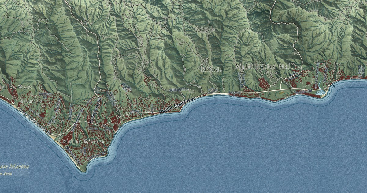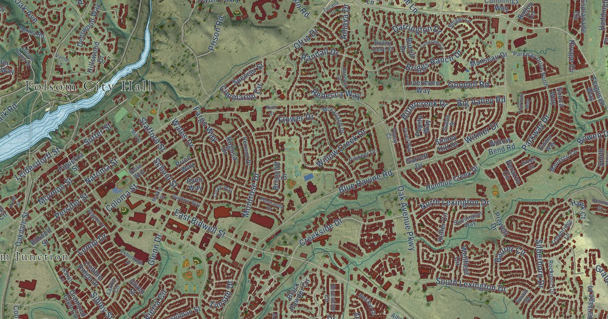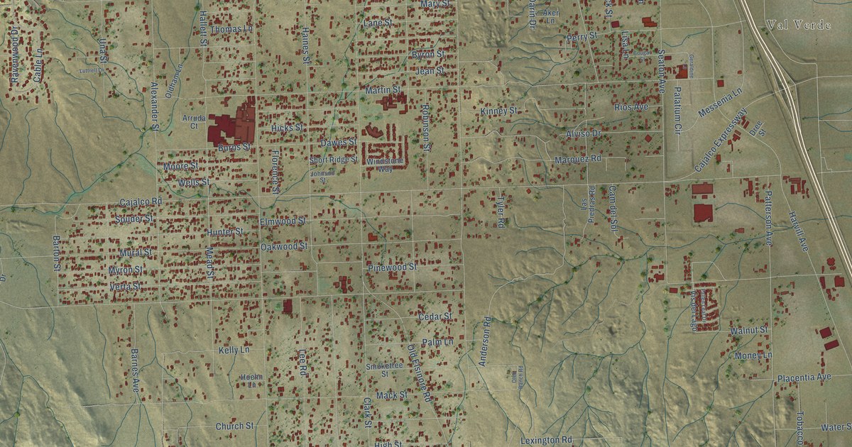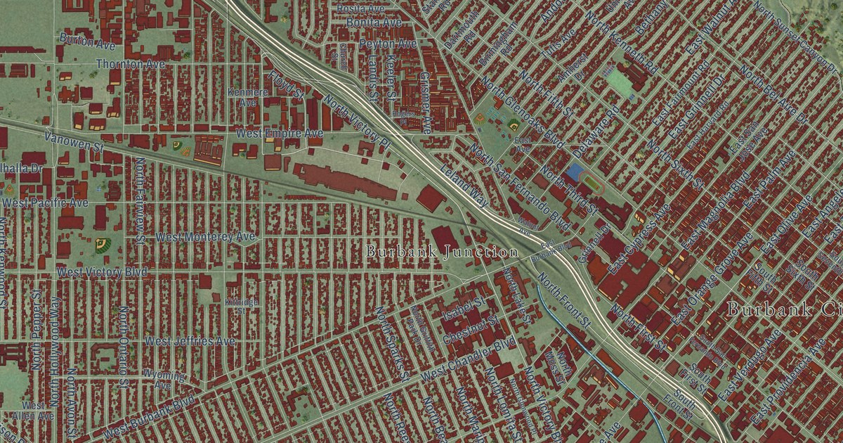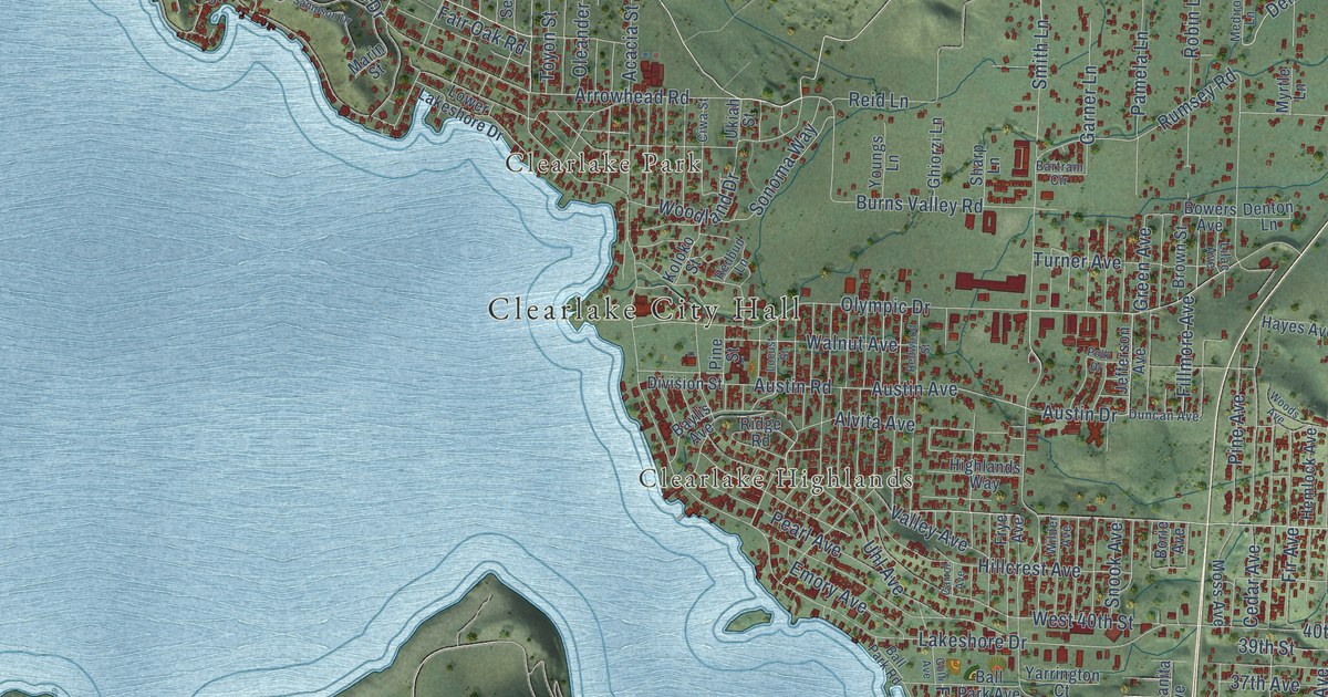
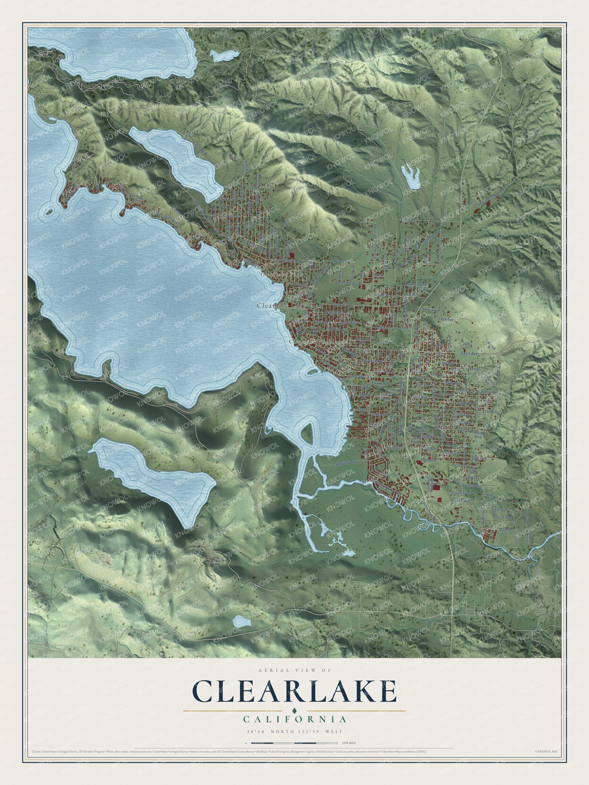
This beautifully detailed map of Clearlake, California was created in 2026 using aerial imagery combined with modern topographical, census, street and landmark data. It's a modern aerial view of Clearlake in Lake County, California, that combines modern data with a vintage aesthetic. The roads feature printed names, and if you look closely you can find your exact house accurately shown in its correct location.
Explore an aerial view of Clearlake, California
On this map you'll find Clearlake City Hall, Clearlake Park, Clearlake Highlands, Eastlake Drive, Burns Valley Road, Eighth Street, Country Club Drive, Parker Avenue, 36th Avenue, Austin Avenue, Austin Drive, 43rd Avenue, and more. Each red shape is a building, so zoom in on the preview and look for yours.
Clearlake is a city in Lake County. The Census Bureau counted 16,685 people here in 2020. The map prints the town name in its title panel, with the coordinates below it.
Take a closer look at the Clearlake map
Names on this map
These names are printed on this map.
Places: Clearlake City Hall, Clearlake Park and Clearlake Highlands.
Streets and roads: Eastlake Drive, Burns Valley Road, Eighth Street, Country Club Drive, Parker Avenue, 36th Avenue, Austin Avenue, Austin Drive, 43rd Avenue, 26th Avenue, Arrowhead Road, 28th Avenue.
More street names, A to Z
13th Avenue, 13th Street, 14th Avenue, 15th Street, 16th Avenue, 17th Avenue, 18th Avenue, 19th Avenue, 20th Avenue, 21st Avenue, 22nd Avenue, 23rd Avenue, 24th Avenue, 25th Avenue, 27th Avenue, 29th Avenue, 30th Avenue, 31st Avenue, 32nd Avenue, 33rd Avenue, 33rd Street, 34th Avenue, 35th Avenue, 35th Street, 37th Avenue, 38th Avenue, 39th Street, 40th Avenue, 41st Avenue, 42nd Avenue, 45th Avenue, Acacia Street, Alvita Avenue, Audra Road, Aurora Road, Austin Road, Ball Park Avenue, Ball Park Road, Bartram Circle, Baylis Avenue, Bay Street, Betz Drive, Borie Avenue, Bowers Avenue, Boyles Avenue, Brannon Avenue, Brown Street, Bush Street, Cache Creek Way, Carrol Avenue, Carter Lane, Cass Avenue, Cedar Avenue, Ciwa Street, Crawford Avenue, Cypress Avenue, Dam Road, Dam Road Extended, Dam Road South, Davis Avenue, Denman Road, Denton Lane, Division Street, Duncan Avenue, East Drive, East Lake Extended, Eighth Avenue, Eleventh Street, Emile Avenue, Emory Avenue, Eureka Avenue, Excelsior Avenue, Fair Oak Road, Fellers Lane, Fifth Street, Fillmore Avenue, Fir Avenue, First Street, Fourth Avenue, Fourth Street, Frye Avenue, Garner Avenue, Garner Lane, Ghiorzi Lane, Golf Avenue, Green Avenue, Hale Avenue, Harbor Lane, Hayes Avenue, Hemlock Avenue, Highlands Harbor Road, Highlands Way, Hillcrest Avenue, Hillside Road, Irving Avenue, Jefferson Avenue, Kern Avenue, Koloko Street, Konocti Avenue, Konocti View Road, Laguna Avenue, Lakeshore Drive, Lakeside Drive, Lakeview Way, Lilac Avenue, Locust Street, Lotawana Road, Lower Lakeshore Drive, Manzanita Avenue, Marin Street, Mediros Lane, Mesa Drive, Moss Avenue, Myrtle Lane, Napa Street, Ninth Avenue, Ninth Street, Oak Avenue, Oakmont Drive, Oak Street, Ogulin Canyon Road, Ogulin Court, Old Highway 53, Oleander Street, Olympic Drive, Pamela Lane, Park Street, Pearl Avenue, Peony Street, Phillips Avenue, Pine Avenue, Pine Street, Polk Avenue, Polk Drive, Pond Road, Redbud Lane, Redwood Street, Reid Lane, Ridge Road, Robin Lane, Rumsey Road, Sampson Drive, San Joaquin Avenue, San Joaquin Extended, Second Street, Seventh Street, Sharpe Drive, Sharp Lane, Sixth Avenue, Sixth Street, Smith Lane, Smith Road, Snook Avenue, Sonoma Way, Spruce Avenue, Stonybrook Drive, Sulphur Bank Road, Tenth Avenue, Tenth Street, Terrace Drive, Third Street, Toyon Street, Trouble Lane, Turner Avenue, Twelfth Avenue, Uhl Avenue, Ukiah Street, Vallejo Avenue, Valley Avenue, Victor Street, Villa Avenue, Walnut Avenue, West 40th Street, Wilder Avenue, Wilkinson Avenue, Wilkinson Road, Woodland Drive, Woods Avenue, Yarrington Court, Youngs Lane.
Created by KNOWOL in 2026. The buildings are small red shapes, the roads carry their printed names, and shaded relief shows the shape of the land. The title panel reads "AERIAL VIEW OF CLEARLAKE CALIFORNIA" with 38°58' NORTH 122°39' WEST.
It looks right in a kitchen, an office or a den, and it's a gift for anyone who grew up in Clearlake or moved away. Open the preview and find your street. See sizes and frames for the Clearlake map.