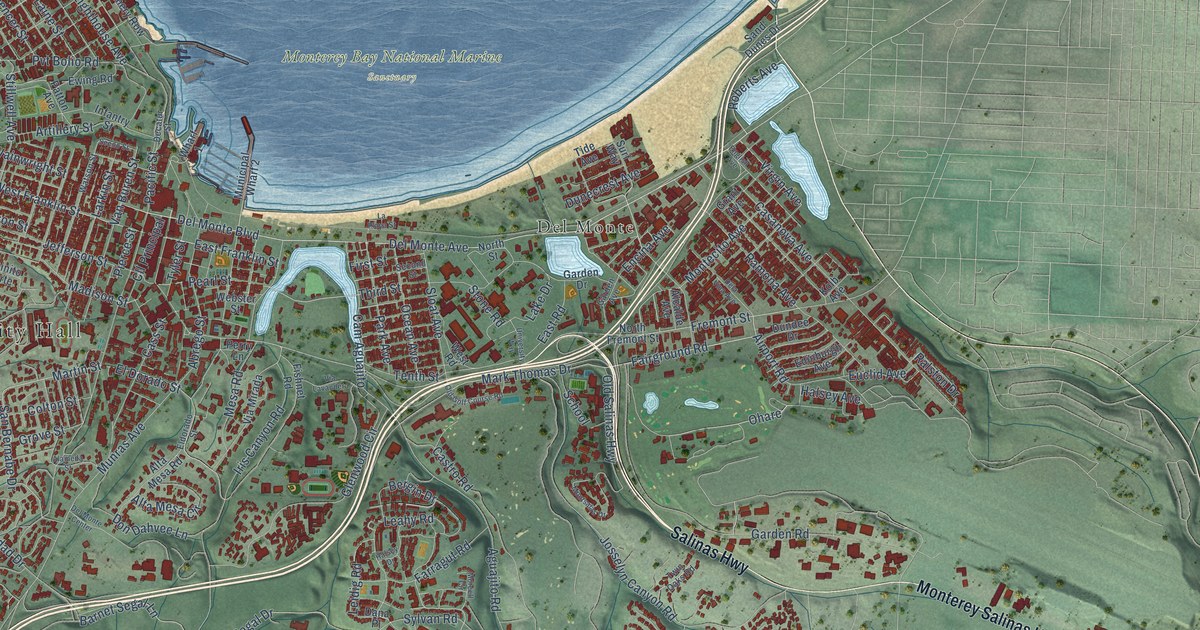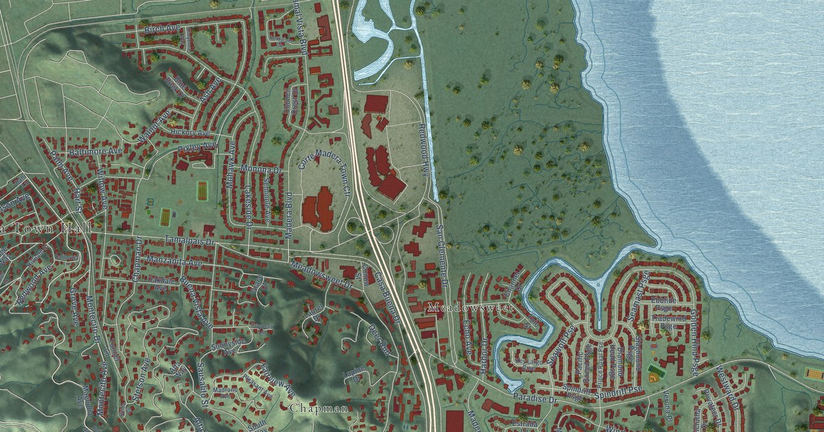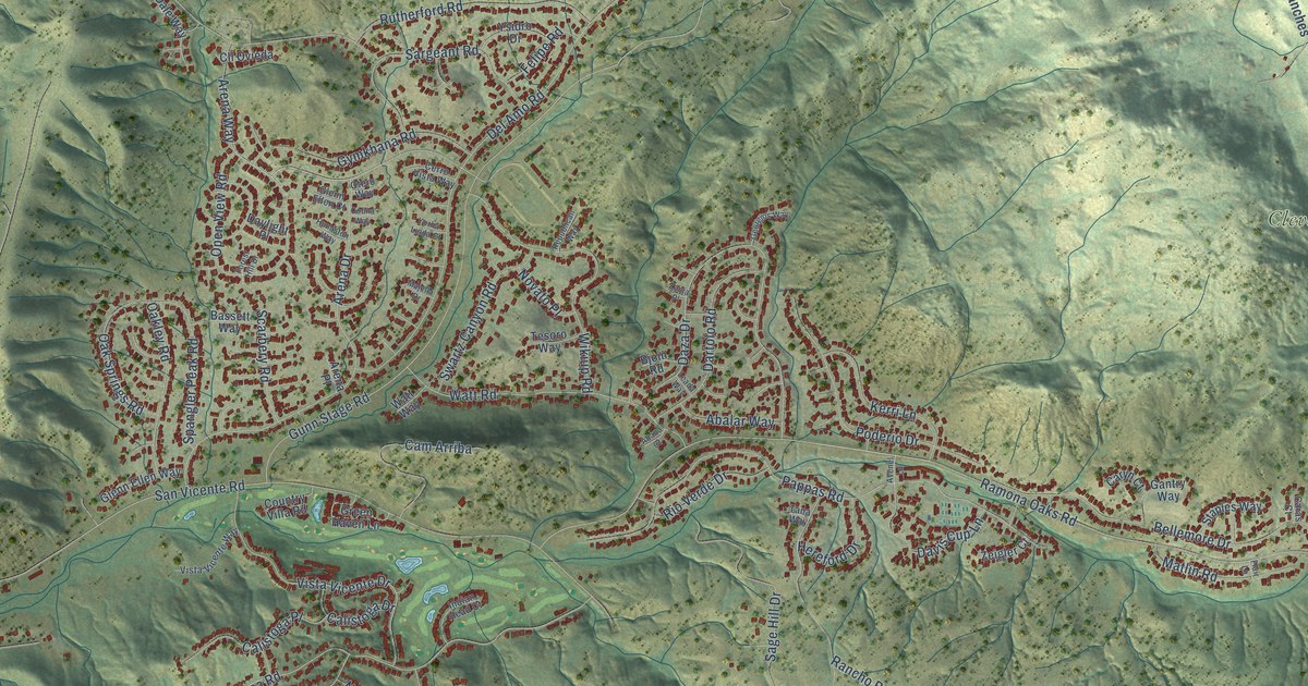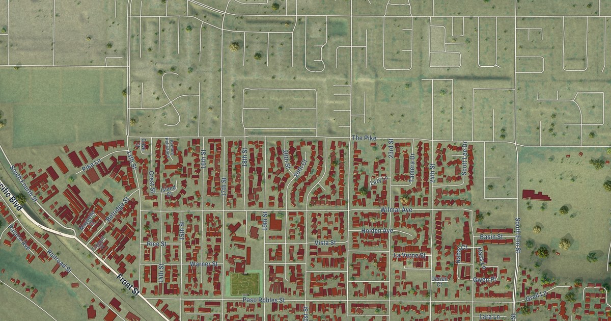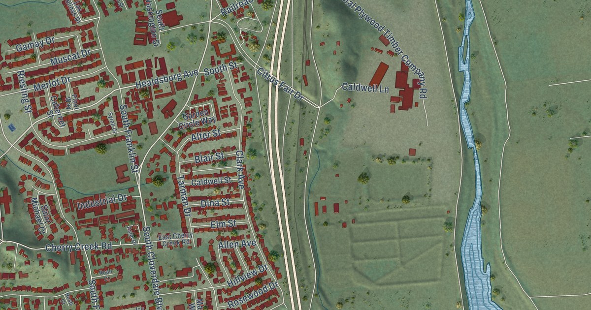
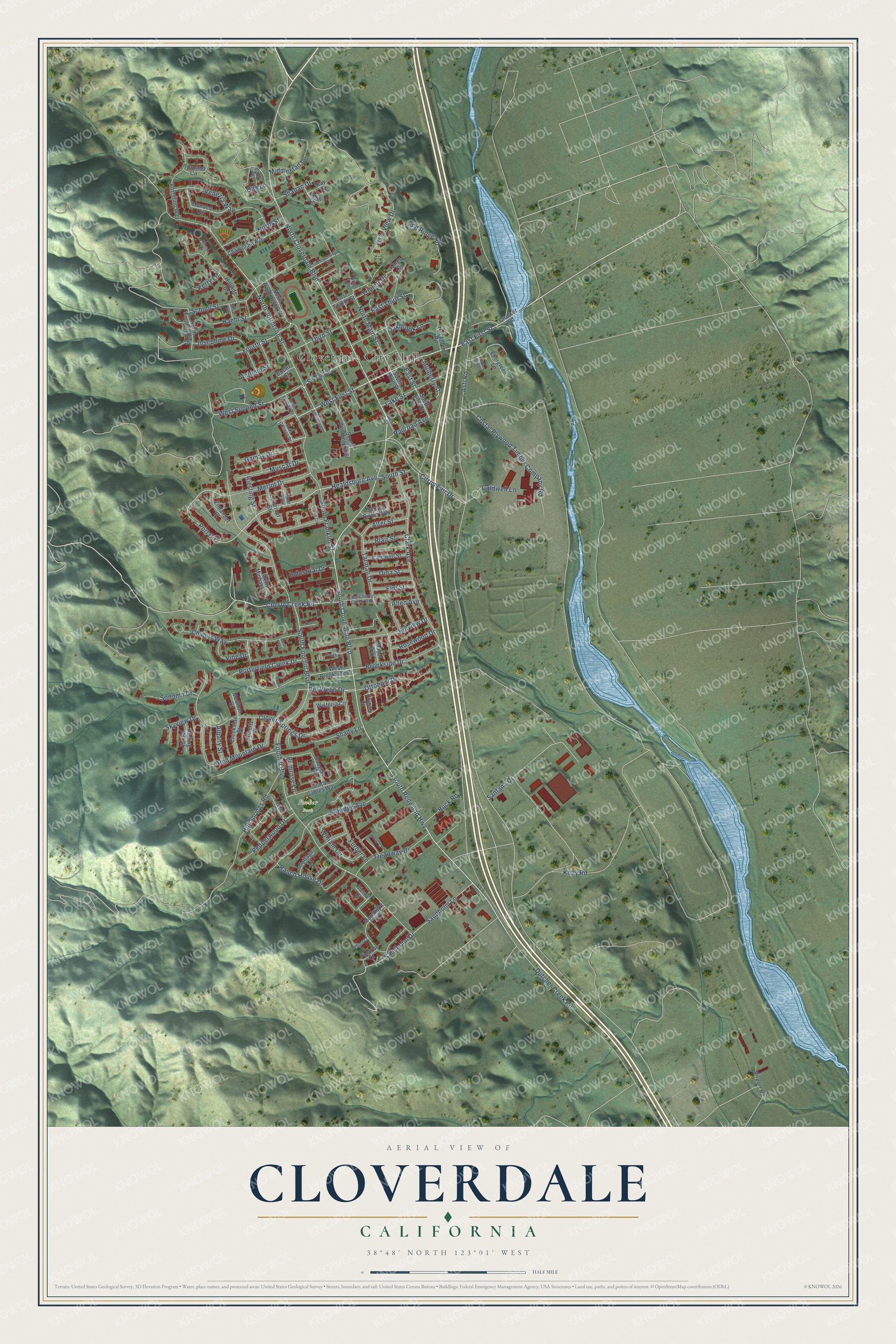
This beautifully detailed map of Cloverdale, California was created in 2026 using aerial imagery combined with modern topographical, census, street and landmark data. It's a modern aerial view of Cloverdale in Sonoma County, California, that combines modern data with a vintage aesthetic. The roads feature printed names, and if you look closely you can find your exact house accurately shown in its correct location.
Explore an aerial view of Cloverdale, California
On this map you'll find Cloverdale City Hall, Furber Park, South Cloverdale Boulevard, North Cloverdale Boulevard, East First Street, West First Street, Healdsburg Avenue, North Jefferson Street, Foothill Boulevard, Port Circle, West Second Street, Kerry Lane, and more. Each red shape is a building, so zoom in on the preview and look for yours.
Cloverdale has a story worth telling. The National Register of Historic Places puts it this way: "This it did in increasing
scale, pouring its goods through the Cloverdale station in a growing flood."
Cloverdale is a city in Sonoma County. The Census Bureau counted 8,996 people here in 2020.
Take a closer look at the Cloverdale map
Names on this map
These names are printed on this map.
Places: Cloverdale City Hall and Furber Park.
Streets and roads: South Cloverdale Boulevard, North Cloverdale Boulevard, East First Street, West First Street, Healdsburg Avenue, North Jefferson Street, Foothill Boulevard, Port Circle, West Second Street, Kerry Lane, South Redwood Highway, Del Webb Drive.
More street names, A to Z
Airport Road, Albany Street, Albertz Street, Allen Avenue, Alter Street, Antonio Street, Asti Road, Blair Street, Block Drive, Brook Court, Brookside Drive, Buck Road, Butler Court, Cabernet Street, Caldwell Lane, Caldwell Street, Chablis Way, Champlain Avenue, Chelsea Circle, Cherry Creek Road, Citrus Fair Drive, Clark Avenue, Clover Springs Drive, Costal Plywood Timber Company Road, Cottage Court, Creekside Street, Crocker Road, Dina Street, Douglas Fir Circle, Dutcher Creek Road, East Cherry Creek Road, East Fourth Street, East Street, East Third Street, Elbridge Avenue, Elm Street, Evergreen Lane, Fourth Street, Freadway Court, Furber Lane, Gamay Drive, Garden Circle Way, Grape Gables Way, Haehl Street, Hazelden Road, Heidi Lane, Hillside Court, Hillside Drive, Hillview Drive, Hot Springs Road, Industrial Drive, Ioli Ranch Circle, Josephine Drive, Kay Court, Kelly Road, King Circle, King Ridge Road, Kings Circle, Lake Street, Las Colinas Drive, Laurel Court, Live Oak Lane, Mayor Way, Merlot Drive, Middlestad Lane, Monaco Circle, Moonlight Circle, Moulton Court, Mulberry Street, Muscat Drive, North Foothill Boulevard, North Franklin Street, North Main Street, North Street, North Washington Street, Oakbrook Lane, Oak Lane, Orion Court, Ottoboni Drive, Palm Drive, Pepperwood Drive, Pinot Way, Polaris Court, Porterfield Creek Drive, Portofino Way, Primrose Lane, Railroad Avenue, Ranch House Drive, Red Mountain Drive, Riesling Street, Roan Court, Rolling Hill Court, Rose Court, Rosewood Drive, Saint Michael Court, Sandholm Drive, Sandholm Lane, Santana Drive, School Street, Second Street, Shady Lane, Shahan Drive, Sierra Court, Silva Drive, Skyview Drive, Sonoma Drive, South East Street, South Foothill Boulevard, South Franklin Street, South Jefferson Street, South Main Street, South Street, South Washington Street, Syrah Court, Tarman Drive, Third Street, Toscana Circle, Treadway Drive, Triplett Drive, University Street, Venezia Way, Vine Drive, Vista View Drive, West Brookside Drive, West Street, William Circle, Wisteria Circle, Zinfandel Court.
Created by KNOWOL in 2026. The buildings are small red shapes, the roads carry their printed names, and shaded relief shows the shape of the land. The title panel reads "AERIAL VIEW OF CLOVERDALE CALIFORNIA" with 38°48' NORTH 123°01' WEST.
It looks right in a kitchen, an office or a den, and it's a gift for anyone who grew up in Cloverdale or moved away. Open the preview and find your street. See sizes and frames for the Cloverdale map.