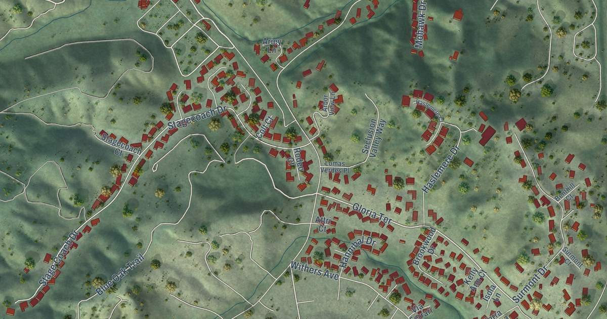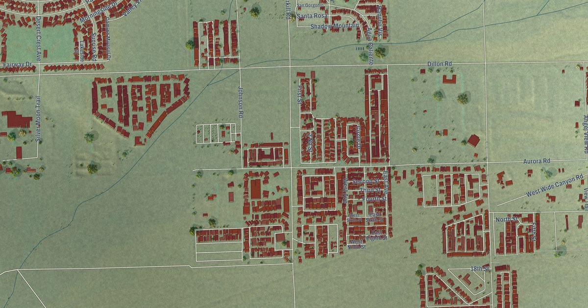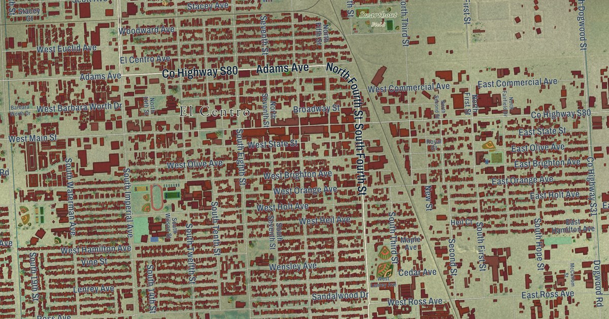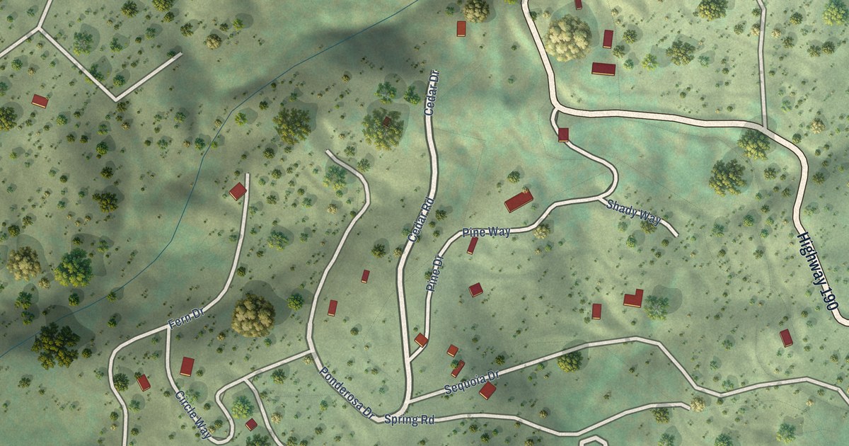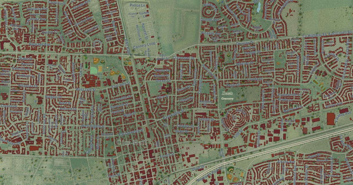
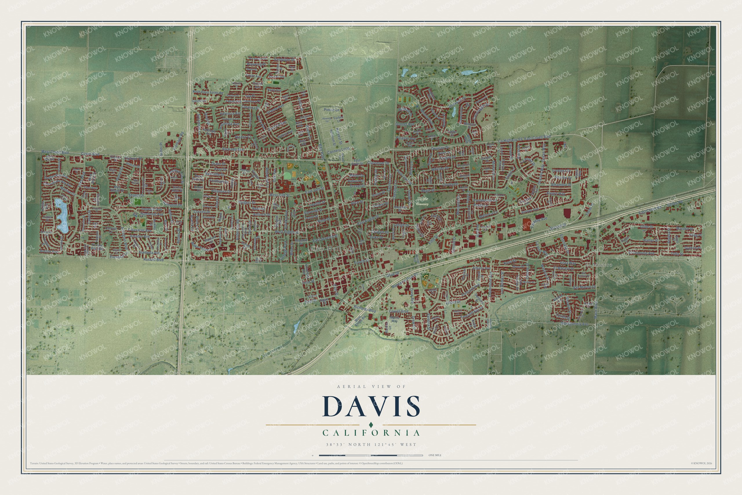
This beautifully detailed map of Davis, California was created in 2026 using aerial imagery combined with modern topographical, census, street and landmark data. It’s a one-of-a-kind view of Davis that combines accurate data with a vintage aesthetic. The map shows every building in its true location, many of the roads carry their names, and the shaded topographic relief shows the shape of the land.
Explore an aerial view of Davis, California
On the map you’ll find City Hall, Davis Cemetery, El Macero, and Wildhorse Golf Club, along with Cowell Boulevard, West Covell Boulevard, East Covell Boulevard, Mace Boulevard, Richards Boulevard, County Highway E6, Russell Boulevard, Second Street, and more. If you look closely you can even find your house accurately drawn in its correct location. Zoom in on the preview to look for yours.
Did you know this piece of Davis, California history?
From the Yolo County History: "The track was laid from Vallejo to Sacramento at this time, and during the early months of 1869 a branch was built from Davis to Woodland."
Take a closer look at the Davis map
Street and place names on the Davis, California map
These names are printed on the map of Davis, California.
Places: City Hall, Davis Cemetery, El Macero, Wildhorse Golf Club and College Park.
Streets and roads: Cowell Boulevard, West Covell Boulevard, East Covell Boulevard, Mace Boulevard, Richards Boulevard, County Highway E6, Russell Boulevard, Second Street, Montgomery Avenue, Bike Path, Covell Boulevard, West Eighth Street.
More street names, A to Z
Acacia Lane, Adams Street, Adams Terrace, Adeline Place, Adrian Drive, Aggie Lane, Alameda Avenue, Albany Avenue, Alder Place, Alegre Way, Alhambra Drive, Alicante Street, Alice Street, Almond Lane, Alvarado Avenue, Amador Avenue, Anderson Road, Angela Street, Antelope Avenue, Antioch Drive, Anza Avenue, Arena Drive, Arlington Boulevard, Arnold Street, Arroyo Avenue, Arthur Street, Astoria Street, Atlantis Drive, Auburn Drive, Audubon Circle, Avocet Avenue, Baja Avenue, Balboa Avenue, Balsam Place, Barkley Street, Barony Place, Barthel Lane, Bates Drive, Baywood Lane, Bella Casa Street, Bellows Street, Belmont Drive, Bermuda Avenue, Bianco Court, Bidwell Street, Bienville Street, Birch Lane, Blackburn Drive, Bonnard Street, Breton Avenue, Broken Circle, Brown Drive, Bryant Place, Bryce Lane, Buchanan Street, Bueno Drive, Burr Street, Cabot Street, Calavaras Avenue, Calder Court, Cannery Loop, Cantrill Drive, Caravaggio Drive, Caricia Drive, Carmelo Lane, Cassel Lane, Catalina Drive, Chateau Lane, Chesapeake Bay Avenue, Chestnut Lane, Chiles Road, Citadel Drive, Claremont Drive, Cleveland Street, Colby Drive, Colgate Drive, Concord Avenue, Coolidge Street, Cordova Place, Cornell Drive, Corona Drive, Costa Verde Street, Cottonwood Drive, Curlew Street, Cutter Place, Cypress Lane, Dali Place, Danbury Street, Del Oro Avenue, Denali Drive, Denison Drive, Diablo Avenue, Donner Avenue, Donovan Court, Douglas Avenue, Drake Drive, Drew Avenue, Drew Circle, Drexel Drive, Drummond Avenue, Duke Drive, East 14th Street, East Chiles Road, East Covel Street, East Eighth Street, East Seventh Street, East Street, Eel Place, El Capitan Street, El Cemonte Avenue, Elendil Lane, Eleventh Street, Eligio Lane, El Macero Drive, Elm Lane, Elmwood Drive, Emerald Bay Drive, Ensenada Drive, Eucalyptus Street, Eureka Avenue, Evenstar Lane, Falcon Avenue, Faraday Avenue, Faro Avenue, Farragut Circle, Fermi Place, Fifth Street, Fillmore Street, First Street, Flicker Avenue, Forbes Lane, Fordham Drive, Fortuna Court, Fourth Street, Frontage Road, Frontera Drive, Full Circle, Garrison Street, Glacier Drive, Glacier Place, Glide Drive, Grande Avenue, Grinnel Drive, Guaymas Place, Guthrie Place, Hacienda Avenue, Halifax Avenue, Halsey Circle, Hamel Street, Hampton Drive, Hanover Drive, Harrier Place, Hartley Street, Harvard Drive, Harvest Street, Hatteras Place, Haussler Drive, Hawthorn Lane, Heirloom Street, Henri Court, Hepworth Drive, Hermosa Place, Hickory Lane, Hoag Place, Holly Lane, Hubble Street, Hudson Street, Humboldt Avenue, Hunt Way, Imperial Avenue, Inca Place, Inner Circle, Iris Place, Isla Place, Jerome Street, Joshua Tree Street, Kendall Way, Kent Drive, Kestrel Place, Koso Street, La Coruno Street, Lake Boulevard, La Mesa Court, La Paloma Court, La Paz Drive, La Playa Drive, La Vida Way, Layton Drive, Lehigh Drive, Lillard Drive, Linden Lane, Los Robles Street, Loyola Drive, Luz Place, Madrid Court, Madrone Lane, Mallorca Lane, Manet Place, Maple Lane, Marden Drive, Marina Circle, Market Avenue, Menlo Drive, Merced Drive, Mesquite Drive, Miller Drive, Mills Drive, Mockingbird Place, Modoc Place, Monarch Lane, Mono Place, Moore Boulevard, Morris Way, Morro Bay Avenue, Muir Woods Place, Mulberry Lane, Navajo Street, Ninth Street, Norte Avenue, North Campus Way, North Davis Farms Road, North Street, Notre Dame Drive, Nutmeg Lane, Oak Avenue, Oceano Way, Ocean Way, Oeste Drive, Ohlone Street, Okeefe Place, Olive Drive, Olympic Drive, Orange Lane, Oriole Avenue, Outer Circle, Ovejas Avenue, Overhill Lane, Oyster Bay Avenue, Pacific Drive, Pamplona Avenue, Parkside Drive, Pastal Way, Pena Drive, Perennal Terrace, Picasso Avenue, Pierce Lane, Pine Lane, Pinnacles Street, Plum Lane, Pole Line Road, Ponteverde Lane, Portage Bay East, Portage Bay West, Prado Lane, Purdue Drive, Quail Street, Radcliffe Drive, Raphael Place, Redbud Drive, Redwood Lane, Reed Drive, Regis Drive, Renoir Avenue, Research Park Drive, Rialto Lane, Rice Lane, Robin Place, Rockwell Drive, Rodin Place, Roos Street, Rosario Street, Rowe Place, Rutgers Drive, Saint Elias Place, Sandpiper Drive, San Marino Drive, San Ramon Drive, Santa Rosa Street, San Thomas Street, Scripps Drive, Seine Avenue, Seventh Street, Shasta Drive, Shelter Cove Place, Slayback Ranch Lane, Snyder Drive, Solito Street, Spafford Street, Spruce Lane, Stanford Drive, Sunset Court, Sutter Place, Swingle Drive, Sycamore Lane, Tahoe Place, Tea Place, Temple Drive, Tenth Street, Tern Place, Third Street, Tiber Avenue, Torrey Street, Tufts Street, Tulane Drive, Tulip Lane, Twelfth Street, Union Drive, University Avenue, Valdora Street, Valencia Avenue, Verona Terrace, Via Verdi Terrace, Villanova Drive, Villaverde Lane, Vista Way, Wake Forest Drive, Washoe Street, Waxwing Place, West 14th Street, West Chiles Road, West Shore Street, Whittier Drive, Woods Circle, Wright Boulevard, Yale Drive, Yana Place, Yukon Street.
See the Davis, California map on a wall
The Davis map as an 18 x 24 inch print in a black frame.

This beautifully detailed map of Davis makes an attractive addition to your office, library, or den, and it can even be used to teach children the geography and history of the area. It also makes a great gift for anyone with Davis roots. When you’re done exploring, click here to get your copy of the Davis map.