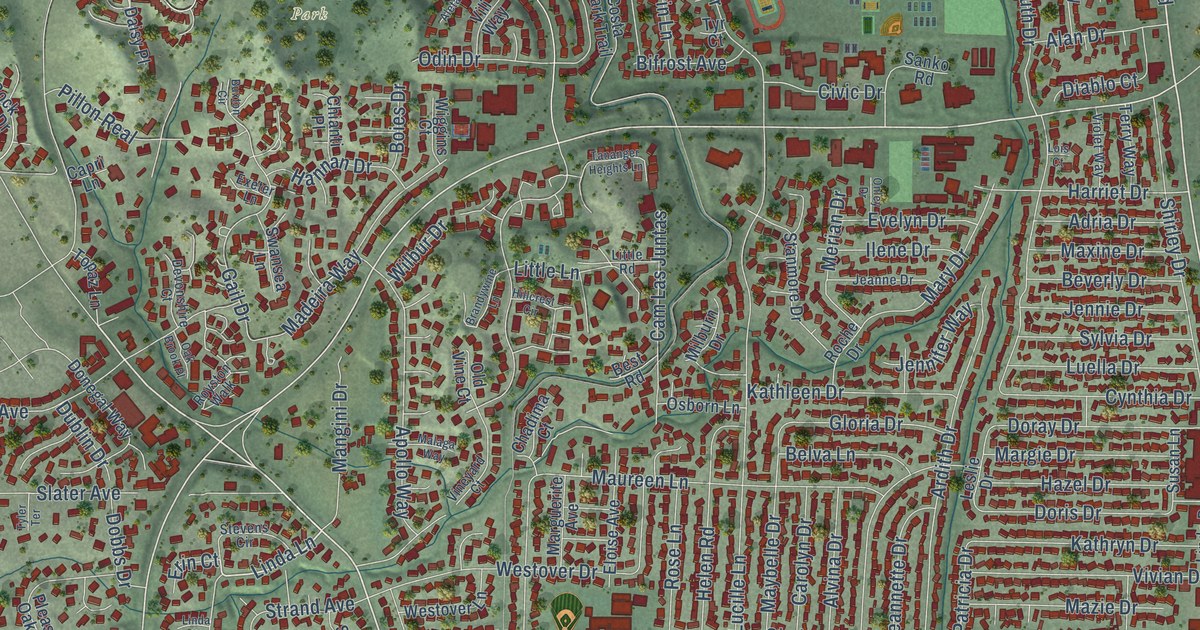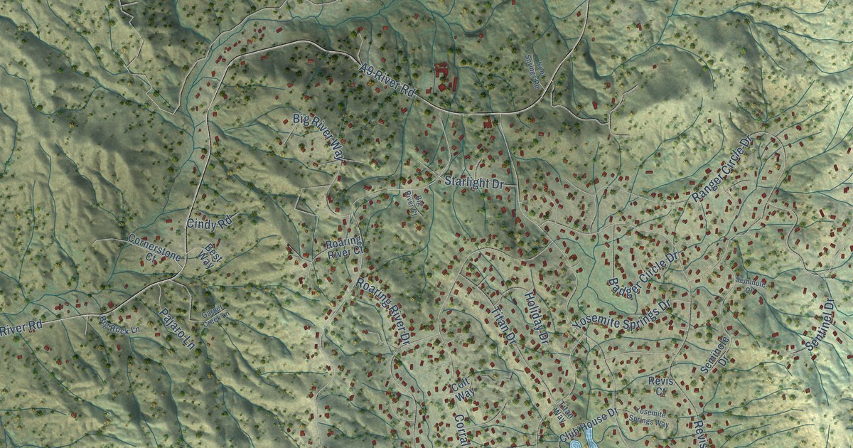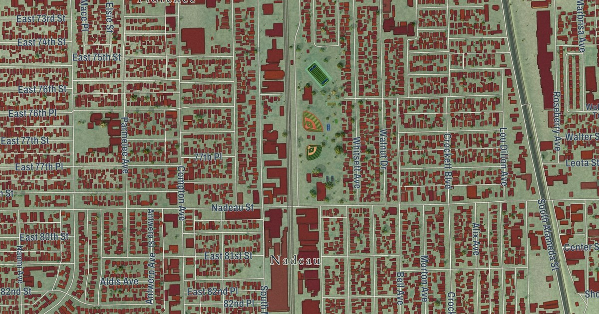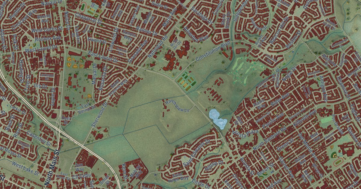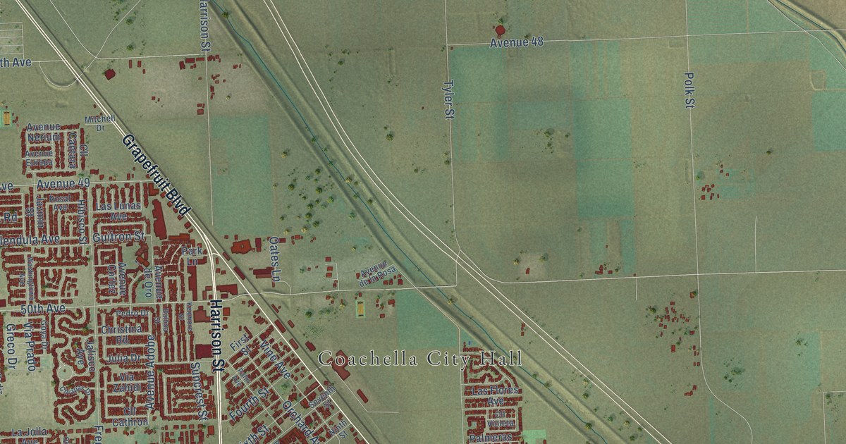
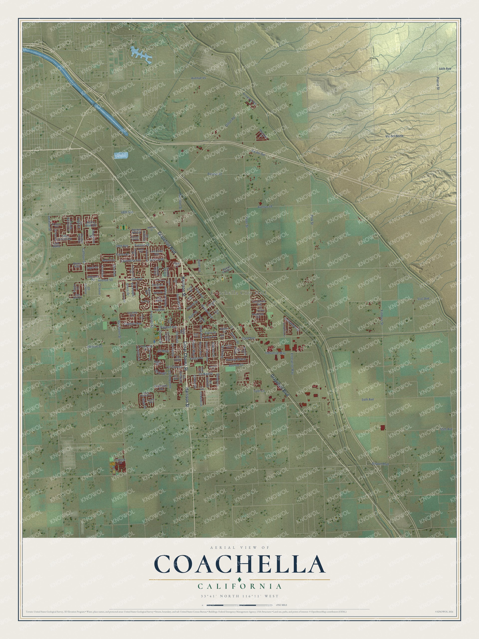
This beautifully detailed map of Coachella, California was created in 2026 using aerial imagery combined with modern topographical, census, street and landmark data. It's a modern aerial view of Coachella in Riverside County, California, that combines modern data with a vintage aesthetic. The roads feature printed names, and if you look closely you can find your exact house accurately shown in its correct location.
Explore an aerial view of Coachella, California
On this map you'll find Coachella City Hall, Cesar Chavez Street, Grapefruit Boulevard, Harrison Street, Valley Road, Avenue 52, 52nd Avenue, Avenue 50, 50th Avenue, 54th Avenue, Tyler Street, Vis del Norte, and more. Each red shape is a building, so zoom in on the preview and look for yours.
Coachella has a story worth telling. The Riverside County History puts it this way: "The company was organized as the Coachella Valley Refrigerating Company, of which Mr. Rector was the sole owner."
Coachella is a city in Riverside County. The Census Bureau counted 41,941 people here in 2020.
Take a closer look at the Coachella map
Names on this map
These names are printed on this map.
Places: Coachella City Hall.
Streets and roads: Cesar Chavez Street, Grapefruit Boulevard, Harrison Street, Valley Road, Avenue 52, 52nd Avenue, Avenue 50, 50th Avenue, 54th Avenue, Tyler Street, Vis del Norte, Fillmore Street.
More street names, A to Z
44th Avenue, 48th Avenue, 49th Avenue, 51st Avenue, 55th Avenue, Airport Boulevard, Allende Drive, Araby Avenue, Arrowood Avenue, Avenue 44, Avenue 47, Avenue 48, Avenue 49, Avenue 53, Avenue Adobe, Avenue Cortez, Avenue de la Rosa, Avenue de Oro, Avenue Europa, Avenue Grace, Avenue Maria, Avenue Nerium, Bagdad Avenue, Balboa Street, Bellissima Avenue, Brenda Lane, Cairo Street, Cairo Way, Calendula Avenue, Calhoun Street, Cam Bahia, Campus Drive, Capitola Avenue, Chaparrosa Street, Chiapas Drive, Chichen Itza Road, Christina Road, Cll Alicia, Cll Avila, Cll Balderas, Cll Bonita, Cll Camacho, Cll Cantara, Cll Cathron, Cll Diego, Cll el Sol, Cll Empalme, Cll Frontera, Cll Najera, Cll Ninos, Cll Ocaso, Cll Pino, Cll Rojo, Cll Soledad, Cll Techa, Cll Tolosa, Cll Torres Orduno, Cll Verde, Cll Violeta, Cll Xavier, Cll Zamora, Cypress Street, Date Avenue, Dillon Road, Douma Street, El Arco Street, El Greco Avenue, Enterprise Way, Fiesta Road, First Street, Fourth Street, Frederick Street, Genoa Street, Goya Drive, Greco Drive, Guitron Street, Hernandez Street, Hibisco Street, Hill Drive, Hope Place, Industrial Way, Jackson Street, Jaderock Road, Jalisco Avenue, Jazmin Street, Julia Drive, Kenmore Street, La Jolla Avenue, Lapis Drive, La Playa Street, La Ponderosa Drive, Las Flores Avenue, Las Lunas Avenue, Lee Lane, Luna de Nicoleta Street, McCoy Peak Avenue, Mecca Avenue, Meritage Lane, Michelle Drive, Mitchell Drive, Moonlit Drive, Nelson Avenue, Nile Lane, Ninth Street, North Sienna Circle, Oasis Palms Avenue, Oates Lane, Oceano Road, Orchard Avenue, Palm Avenue, Palmeras Circle, Park Lane, Pedro Drive, Pendleton Way, Pierce Street, Pluma Azul, Polk Street, Primitivo Drive, Pso Cadiz, Rosal Avenue, San Asis Drive, Scarlet Way, Seventh Street, Shady Lane, Sixth Street, Slate Drive, Suez Road, Suncrest Street, Sunset Drive, Sylmar Lane, Todos Santos Avenue, Tripoli Way, Tyler Lane, Van Buren Street, Vermouth Drive, Via Prado, Via Zahidi, Vine Avenue, Vis del Sur, Washingtonia Avenue.
Created by KNOWOL in 2026. The buildings are small red shapes, the roads carry their printed names, and shaded relief shows the shape of the land. The title panel reads "AERIAL VIEW OF COACHELLA CALIFORNIA" with 33°41' NORTH 116°11' WEST.
It looks right in a kitchen, an office or a den, and it's a gift for anyone who grew up in Coachella or moved away. Open the preview and find your street. See sizes and frames for the Coachella map.