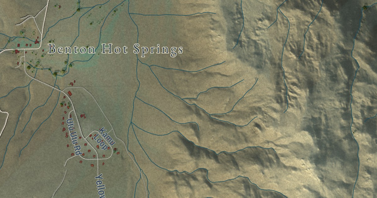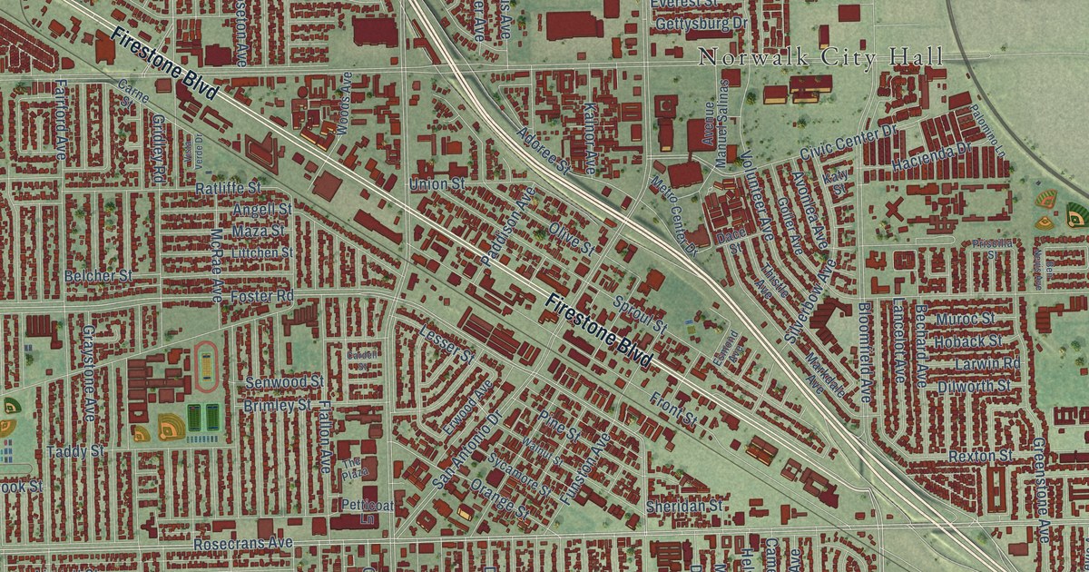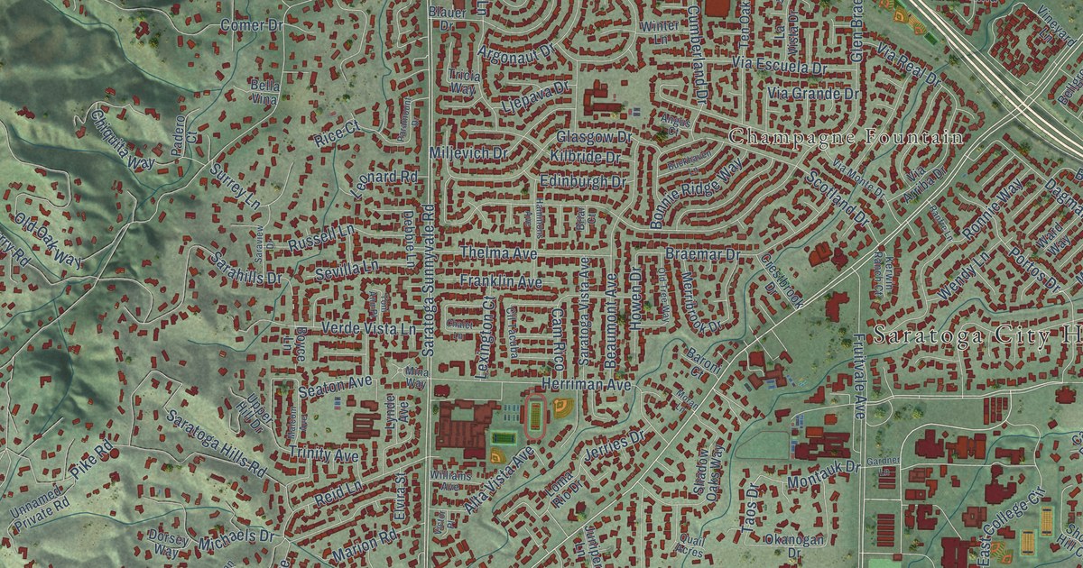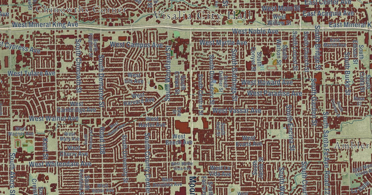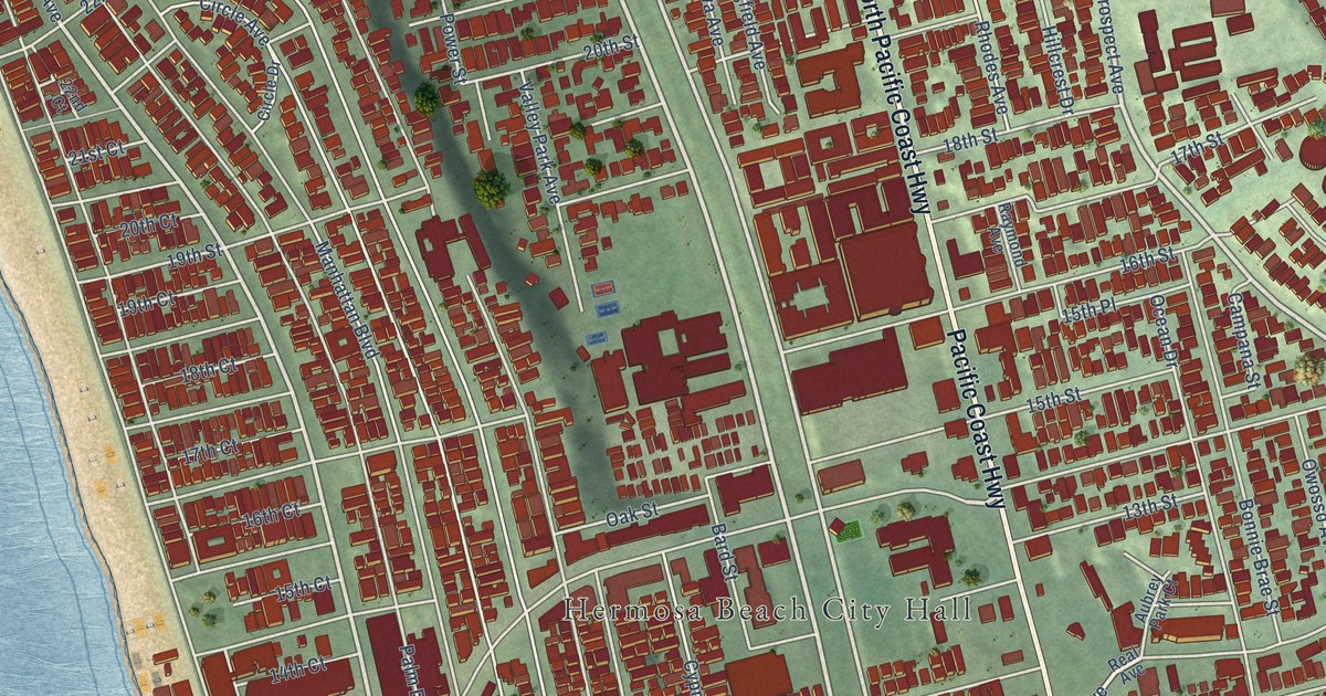
This beautifully detailed map of Hermosa Beach, California was created in 2026 using aerial imagery combined with modern topographical, census, street and landmark data. It’s a one-of-a-kind view of Hermosa Beach that combines accurate data with a vintage aesthetic. The map shows every building in its true location, many of the roads carry their names, and the shaded topographic relief shows the shape of the land.
Explore an aerial view of Hermosa Beach, California
On the map you’ll find Hermosa Beach City Hall, Valley Park, South Park, and Boundary Place, along with North Pacific Coast Highway, Pacific Coast Highway, Valley Drive, Herondo Street, Prospect Avenue, 33rd Street, Hermosa Avenue, Ardmore Avenue, and more. If you look closely you can even find your house accurately drawn in its correct location. Zoom in on the preview to look for yours.
Did you know this piece of Hermosa Beach, California history?
From the Historical Marker Database: "Long a major attraction for residents and visitors, the first Hermosa Beach Pier was built in 1904. It was a wooden trestle structure extending 500 feet into the ocean."
Take a closer look at the Hermosa Beach map
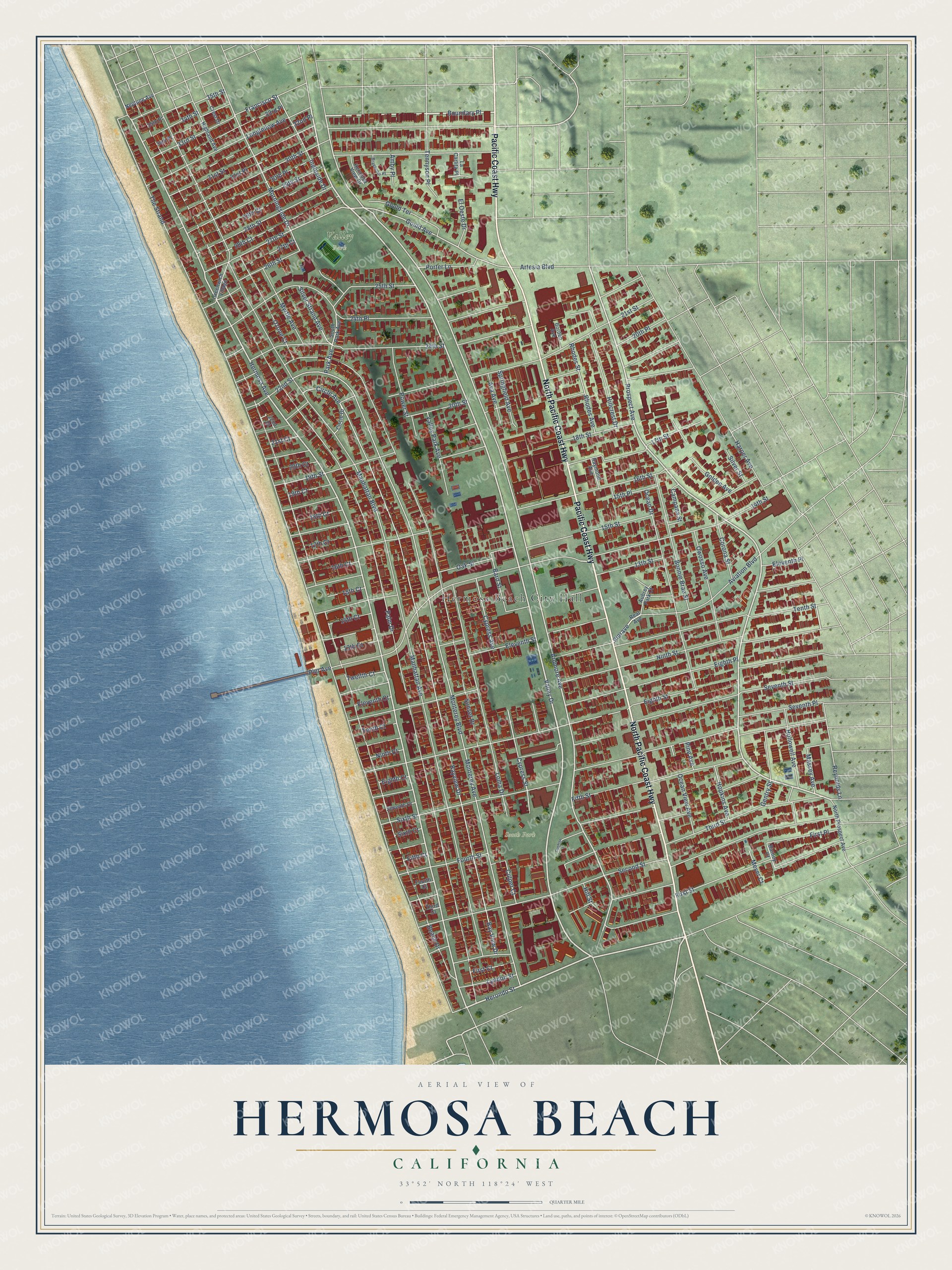
Street and place names on the Hermosa Beach, California map
These names are printed on the map of Hermosa Beach, California.
Places: Hermosa Beach City Hall, Valley Park and South Park.
Streets and roads: North Pacific Coast Highway, Pacific Coast Highway, Valley Drive, Boundary Place, Herondo Street, Prospect Avenue, 33rd Street, Hermosa Avenue, Ardmore Avenue, Reynolds Lane, Pierave, Gould Avenue.
More street names, A to Z
13th Court, 13th Street, 14th Court, 14th Street, 15th Court, 15th Place, 15th Street, 16th Court, 16th Street, 17th Court, 17th Street, 18th Court, 18th Street, 19th Court, 19th Street, 20th Court, 20th Place, 20th Street, 21st Court, 21st Street, 22nd Court, 22nd Street, 24th Place, 24th Street, 25th Street, 26th Street, 27th Court, 27th Street, 28th Court, 28th Street, 29th Court, 29th Street, 30th Place, 30th Street, 31st Place, 31st Street, 32nd Place, 33rd Place, 34th Place, 34th Street, 35th Place, 35th Street, Amby Place, Artesia Boulevard, Aubrey Park Court, Ava Avenue, Aviation Boulevard, Bard Street, Barney Court, Bayview Drive, Bay View Drive, Beach Drive, Bonnie Brae Street, Borden Avenue, Braeholm Place, Campana Street, Circle Avenue, Circle Drive, Cochise Street, Corona Street, Crest Drive, Culper Court, Cypress Avenue, Cypress Street, Eighth Court, Eighth Place, Eighth Street, Eleventh Court, Eleventh Place, Eleventh Street, El Oeste Drive, Fifth Court, Fifth Street, First Court, First Place, First Street, Fourth Court, Fourth Street, Francisco Street, Gentry Street, Golden Avenue, Gould Terrace, Greenwich Village, Harper Avenue, Hermosa View Drive, Highland Avenue, Hillcrest Drive, Hill Street, Hollowell Avenue, Hopkins Avenue, Ingleside Drive, La Carlita Place, Loma Drive, Longfellow Avenue, Lyndon Street, Manhattan Avenue, Manhattan Boulevard, Massey Avenue, Meyer Court, Monterey Avenue, Monterey Boulevard, Morningside Drive, Myrtle Avenue, Neptune Avenue, Ninth Court, Ninth Street, North Prospect Avenue, Oak Street, Ocean Drive, Ocean View Avenue, Owosso Avenue, Ozone Court, Palm Drive, Park Avenue, Pier Avenue, Pine Avenue, Porter Lane, Power Street, Raymond Avenue, Real Avenue, Rhodes Avenue, Rhodes Street, Second Street, Seventh Court, Seventh Place, Seventh Street, Silver Strand Avenue, Silver Street, Sixth Court, Sixth Street, South Park Avenue, Springfield Avenue, Sunset Drive, Tennyson Place, Tenth Court, Tenth Street, The Strand, Third Court, Third Street, Twelfth Court, Valley Park Avenue.
See the Hermosa Beach, California map on a wall
The Hermosa Beach map as an 18 x 24 inch print in a black frame.

This beautifully detailed map of Hermosa Beach makes an attractive addition to your office, library, or den, and it can even be used to teach children the geography and history of the area. It also makes a great gift for anyone who grew up in Hermosa Beach or moved away. When you’re done exploring, click here to get your copy of the Hermosa Beach map.