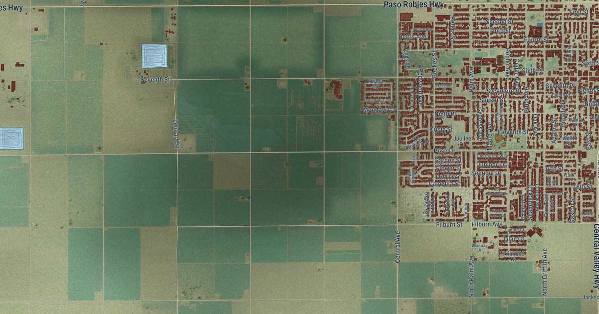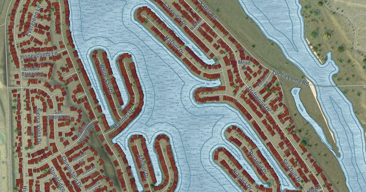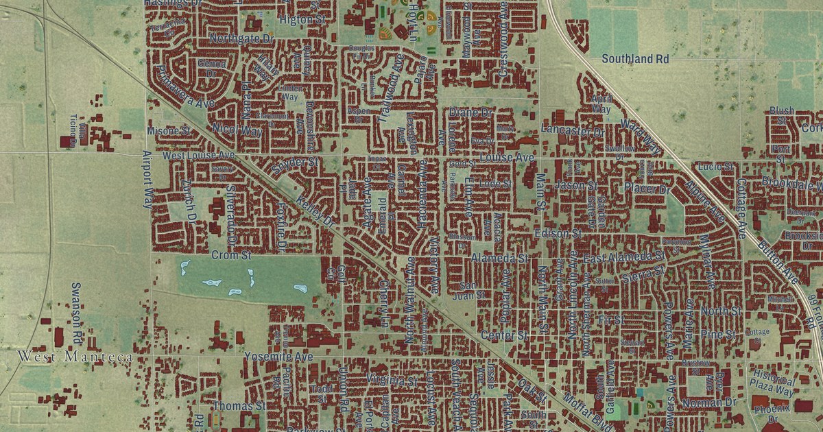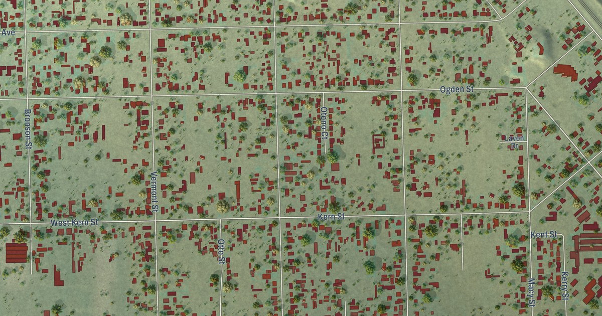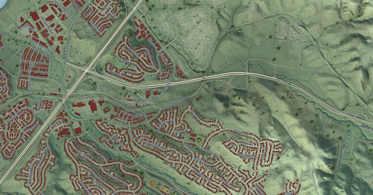
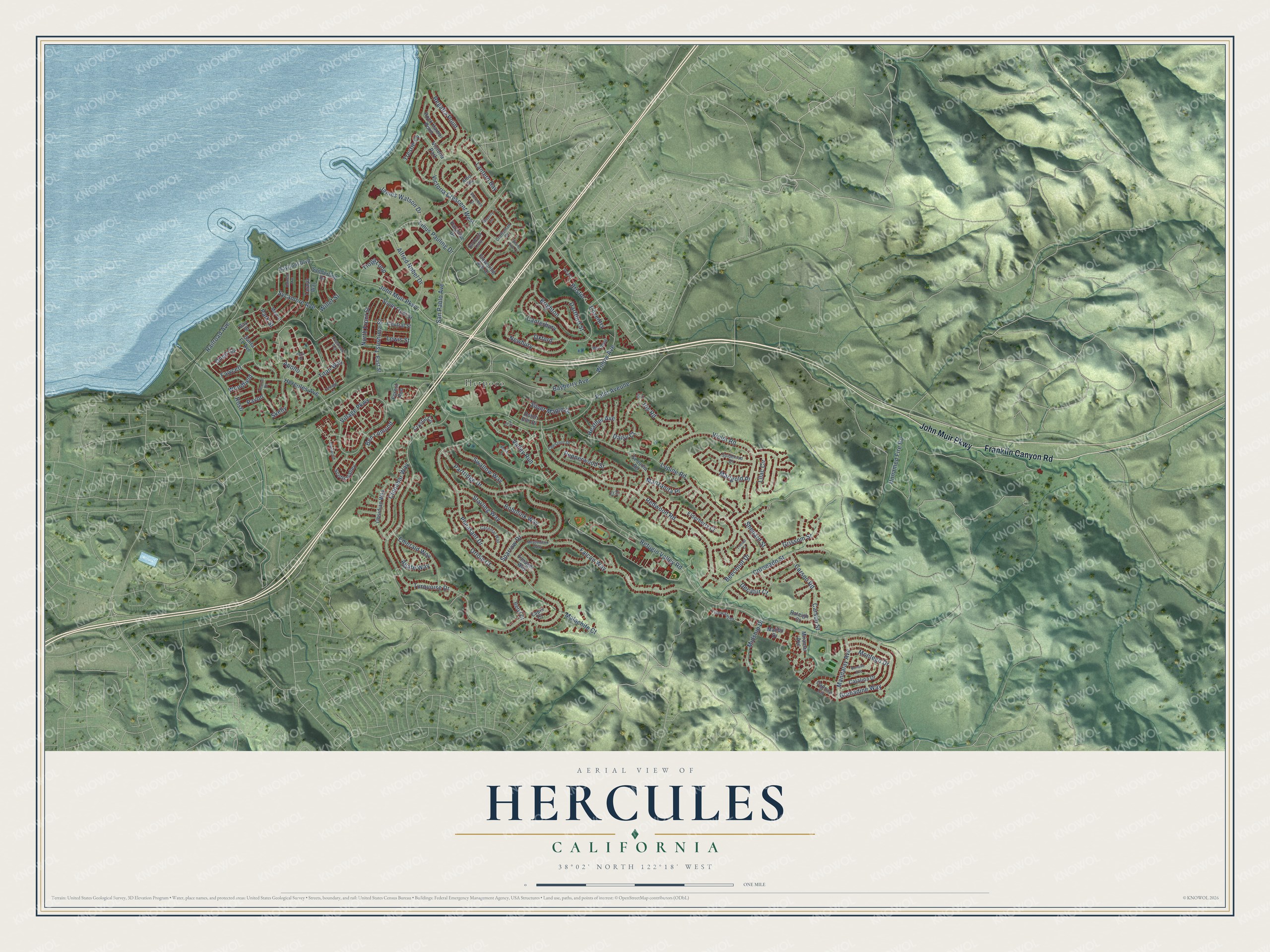
This beautifully detailed map of Hercules, California was created in 2026 using aerial imagery combined with modern topographical, census, street and landmark data. It's a modern aerial view of Hercules in Contra Costa County, California, that combines modern data with a vintage aesthetic. The roads feature printed names, and if you look closely you can find your exact house accurately shown in its correct location.
Explore an aerial view of Hercules, California
On this map you'll find Herpoco, Franklin Canyon Road, John Muir Parkway, Apollo, Malachite Court, Unnamed Fire Road, Lantern Bay, Pheasant Drive, Tsushima Street, Falcon Way, Beechnut Drive, Refugio Valley Road, and more. Each red shape is a building, so zoom in on the preview and look for yours.
Hercules has a story worth telling. The Historical Marker Database puts it this way: "This Gingko tree is dedicated in recognition of the contributions of Chinese laborers who toiled in anonymity at the Hercules Powder Works Factory from 1881 until 1912."
Hercules is a city in Contra Costa County. The Census Bureau counted 26,016 people here in 2020.
Take a closer look at the Hercules map
Names on this map
These names are printed on this map.
Places: Herpoco and Victoria Park.
Streets and roads: Franklin Canyon Road, John Muir Parkway, Apollo, Malachite Court, Unnamed Fire Road, Lantern Bay, Pheasant Drive, Tsushima Street, Falcon Way, Beechnut Drive, Refugio Valley Road, Sycamore Avenue.
More street names, A to Z
Agate Way, Alfred Nobel Drive, Arbor Bay, Bayberry Avenue, Bayfront Boulevard, Bay Street, Ben Lomond, Beryl Court, Bobolink Way, Bonaire Avenue, Brighton, Bristol, Canterbury, Caprice Circle, Cardinal Way, Carson Road, Carson Street, Catalina Drive, Central Street, Chestnut Drive, Cinnabar Way, Coronado Street, Cottage Lane, Coventry, Craftsman Drive, Crystal Circle, Daisy Court, Dartford Street, Decatur Court, Dover, Dutch Elm Drive, Earnest Avenue, East Street, Elderberry Court, Emerald Way, Fawcett, Fir Court, Flowering Ash Drive, Forest Run, Gardenia Loop, Glenwood, Goldenrod Drive, Grenadine Way, Grissom Street, Heather Avenue, Hera Road, Hercules Avenue, Hill Court, Iris Court, Iris Road, James Watson Drive, Lapis Court, Lewis Street, Lilac Circle, Linus Pauling Drive, Locust Court, Lupine Road, Main Street, Malibu Drive, Mandalay Avenue, Manzanita Place, Marigold Place, Meadowlark Way, Mesa Court, Midship Drive, Miramar Avenue, Montego Drive, Newbury, North Front Street, Obsidian Way, Oneil Circle, Oriole Court, Overlook Terrace, Oxford, Palm Aveune, Paradise Drive, Park Street, Partridge Drive, Pavon, Pearce Road, Pepperwood Street, Railroad Avenue, Raleigh Court, Redwood Road, Regatta Point, Rock Harbor Point, Rosti, Sanderling Drive, San Pablo Avenue, Santa Fe Avenue, Scotts Valley, Sequoia Road, Shepard Street, Shorebird Drive, Silver Maple Drive, Skelly, South Front Street, Sparrow Drive, Starling Way, Stone Pine Court, Swallow Way, Tanager Way, Taraya Way, Tidewater Drive, Tioga Loop, Titan Way, Trestle Cv, Turquoise Drive, Valley Run, Victoria Crescent West, Village Parkway, Violet Road, Waverly Circle, Willet Street, Willow Avenue, Woodfield, Worthing.
Created by KNOWOL in 2026. The buildings are small red shapes, the roads carry their printed names, and shaded relief shows the shape of the land. The title panel reads "AERIAL VIEW OF HERCULES CALIFORNIA" with 38°02' NORTH 122°18' WEST.
It looks right in a kitchen, an office or a den, and it's a gift for anyone who grew up in Hercules or moved away. Open the preview and find your street. See sizes and frames for the Hercules map.