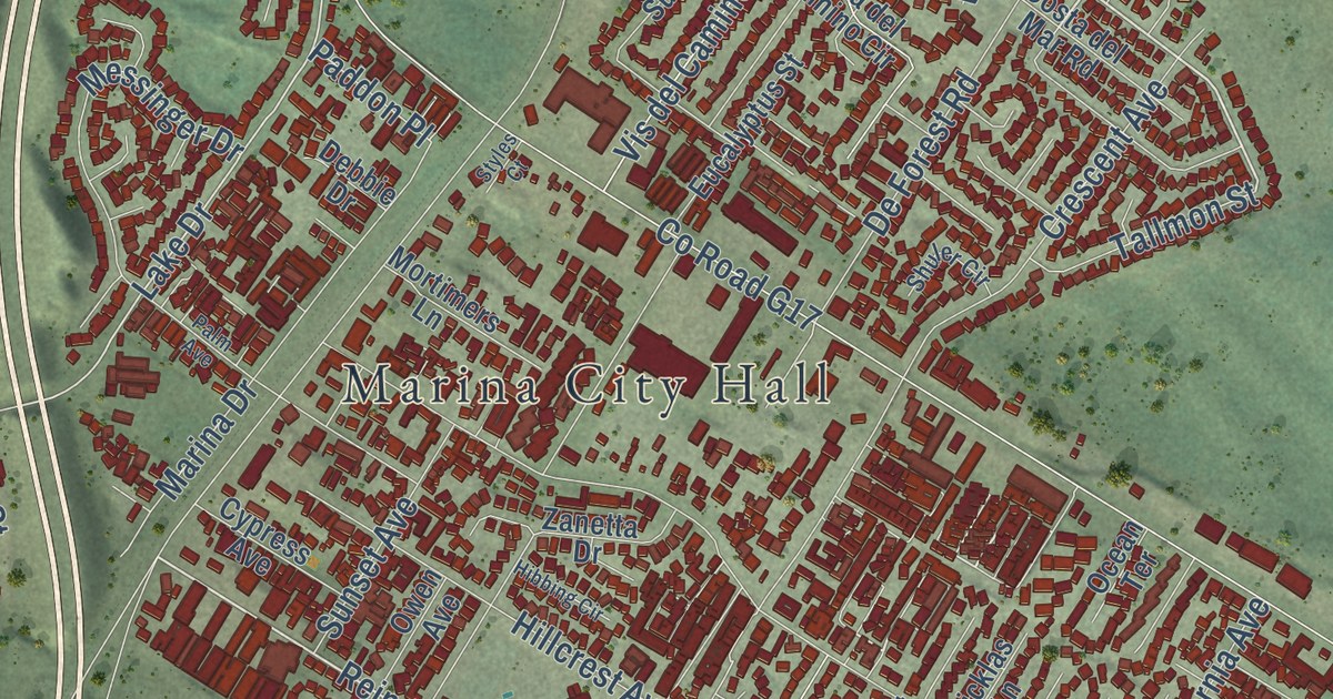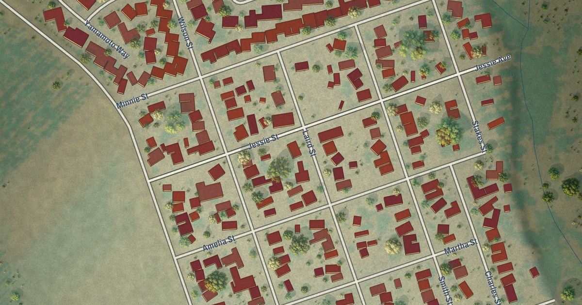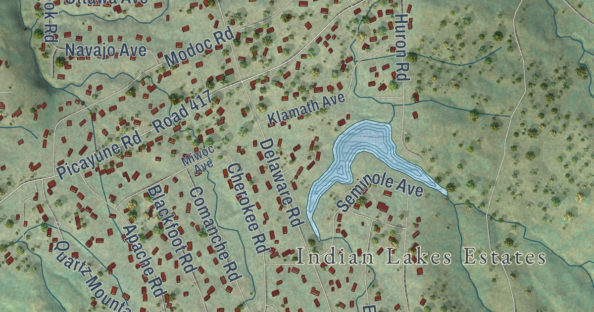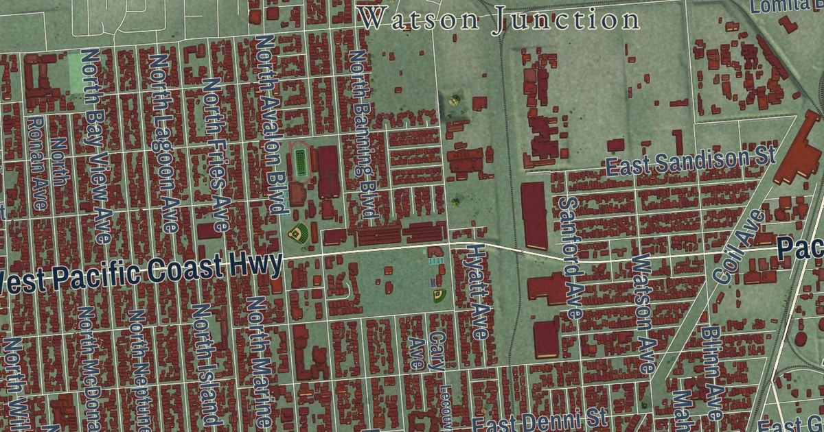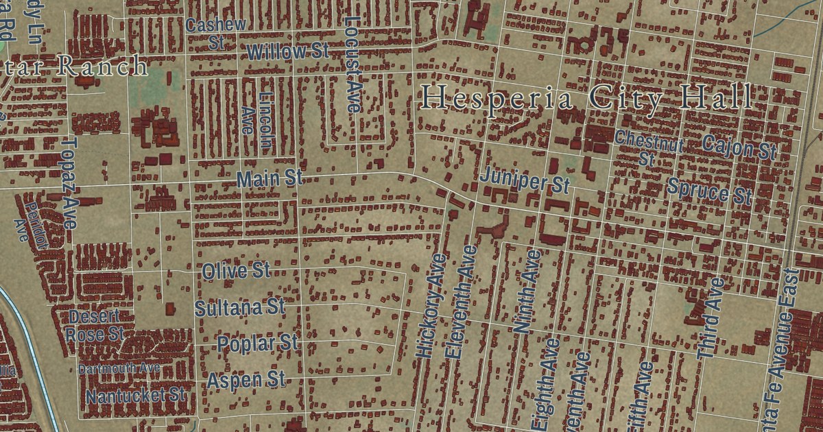
This beautifully detailed map of Hesperia, California was created in 2026 using aerial imagery combined with modern topographical, census, street and landmark data. It’s a one-of-a-kind view of Hesperia that combines accurate data with a vintage aesthetic. The map shows every building in its true location, many of the roads carry their names, and the shaded topographic relief shows the shape of the land.
Explore an aerial view of Hesperia, California
On the map you’ll find Hesperia City Hall, High Country, North Star Ranch, and The Mesa, along with Goat Trail Road, Main Street, Lassen Road, Tenth Avenue, Muscatel Street, Caliente Road, Choiceana Avenue, Cromdale Street, and more. If you look closely you can even find your house accurately drawn in its correct location. Zoom in on the preview to look for yours.
Did you know this about Hesperia, California?
From the Historical Marker Database: "In the beginning, the California Southern Railroad used Hesperia for a stopping point."
Take a closer look at the Hesperia map
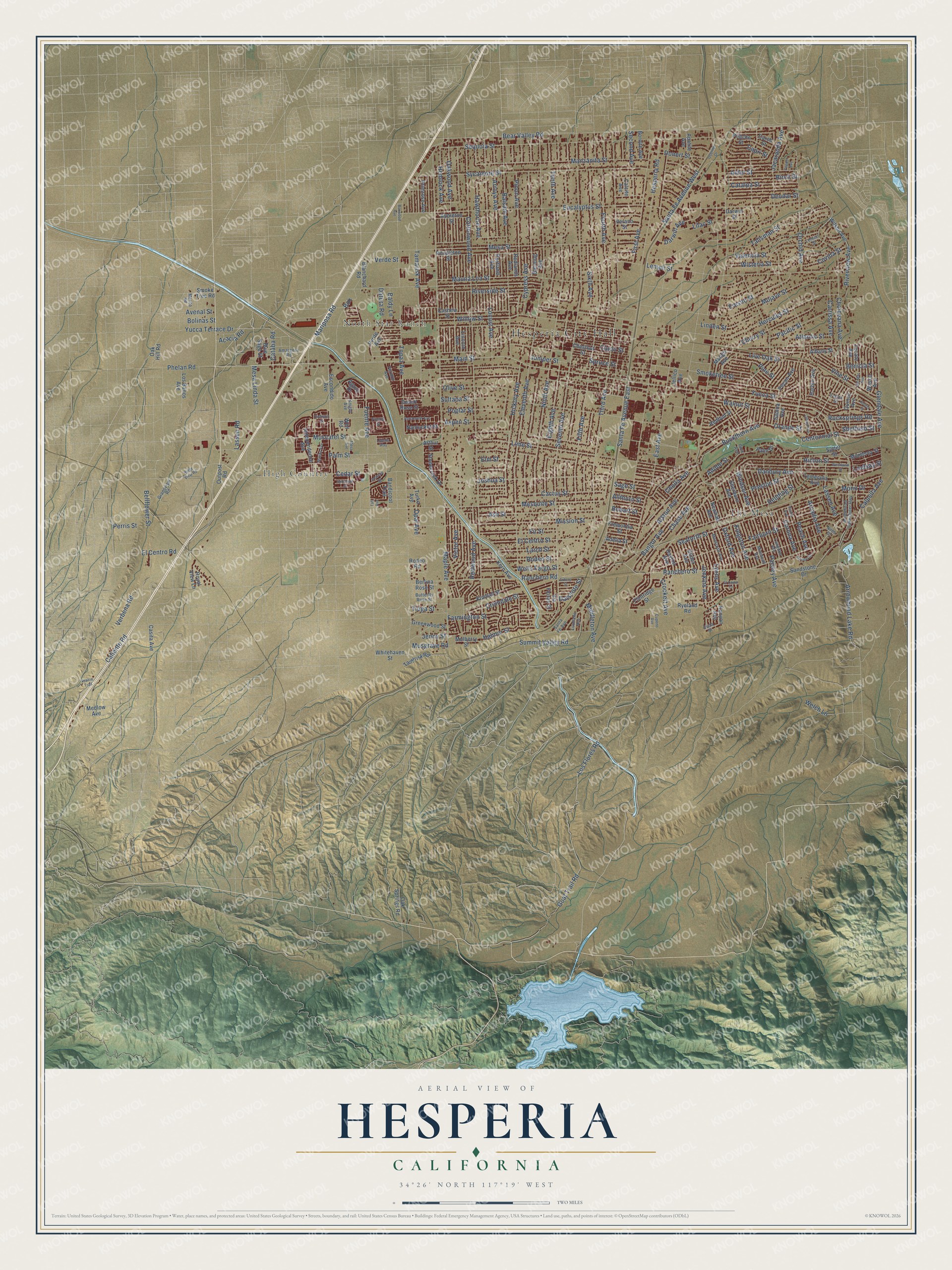
Street and place names on the Hesperia, California map
These names are printed on the map of Hesperia, California.
Places: Hesperia City Hall, High Country, North Star Ranch and The Mesa.
Streets and roads: Goat Trail Road, Main Street, Lassen Road, Tenth Avenue, Muscatel Street, Caliente Road, Choiceana Avenue, Cromdale Street, Box, Mariposa Road, Live Oak Street, Ranchero Road.
More street names, A to Z
Acacia Road, Adelia Street, Adobe Street, Agave Drive, Albany Street, Alder Street, Allthorn Street, Alston Avenue, Amargosa Road, Apatite Avenue, Appleton Street, Arbury Street, Arcadia Avenue, Arrowhead Lake Outer Highway, Arrowhead Lake Road, Arroyo Avenue, Arthur Street, Ash Street, Aspen Street, Atlantic Street, Avenal Street, Baldy Lane, Balsam Avenue, Bandicoot Trail, Bangor Avenue, Banning Avenue, Bear Valley Road, Bellflower Street, Benicia Street, Berlina Rose Street, Birch Street, Blanchard Road, Blue Sage Street, Bodart Street, Bolinas Street, Bornite Avenue, Boxwood Avenue, Buckthorn Avenue, Butterfly Rose Street, Cactus Street, Cajon Street, Calcite Avenue, Calpella Avenue, Capri Street, Carob Street, Carrissa Avenue, Cashew Street, Casita Avenue, Cataba Road, Catalpa Street, Cedar Street, Centennial Street, Chase Avenue, Cherry Street, Chestnut Street, Cholla Avenue, Corona Avenue, Cottonwood Avenue, Covina Street, Crockett Avenue, Cupeno Avenue, Cypress Avenue, Dalscote Street, Damon Drive, Danbury Avenue, Dartmouth Avenue, Darwin Avenue, Darwin Street, Datura Road, Dayton Avenue, Del Mar Avenue, Deodar Street, Desert Rose Street, Donert Street, East Avenue, Eighth Avenue, El Cajon Drive, El Centro Road, El Centro Street, Eleventh Avenue, Elm Street, Escondido Avenue, Eucalyptus Street, Fairburn Street, Farmington Street, Felton Street, Fifth Avenue, First Avenue, Fir Street, Flintridge Street, Fourth Avenue, Fremontia Street, Fresno Street, Fuente Avenue, Glendale Avenue, Glider Avenue, Goleta Street, Grandview Road, Greenwood Street, Halinor Street, Harbin Avenue, Hawthorne Avenue, Hemlock Avenue, Hercules Street, Hesperia Road, Hickory Avenue, Hinton Street, Hollister Street, Independence Avenue, Jacaranda Avenue, Jackson Street, Jellico Avenue, Jenkins Avenue, Jenny Street, Joshua Street, Juniper Street, Kenyon Avenue, Kern Avenue, Kimball Street, Kingston Avenue, Knight Avenue, Langdon Avenue, Larch Street, Lassen Avenue, Lemert Street, Lemon Street, Lilac Street, Lilford Avenue, Lime Street, Lincoln Avenue, Linden Street, Lindsay Street, Lobelia Way, Locust Avenue, Los Banos Avenue, Los Flores Road, Lurelane Avenue, Lyons Avenue, Malibu Avenue, Mango Avenue, Manzanita Street, Maple Avenue, Mauna Loa Street, Medlow Avenue, Merito Road, Mesa Avenue, Mesa Linda Street, Mesa Street, Mesquite Street, Middleton Avenue, Minstead Avenue, Mission Street, Mojave Street, Mono Drive, Monterey Street, Montrose Avenue, Mulberry Street, Musgrave Road, Nantucket Street, Newhall Avenue, Niles Drive, Ninth Avenue, Oak Hill Road, Oak Springs Road, Oakwood Avenue, Olive Street, Opal Avenue, Orange Street, Orchid Avenue, Osbrink Drive, Outpost Road, Oxford Avenue, Pacific Street, Paisley Avenue, Palm Drive, Palm Street, Peach Avenue, Pecan Avenue, Pendleton Street, Pepper Avenue, Peridot Avenue, Perris Street, Phelan Road, Pico Avenue, Pinellia Street, Pine Street, Pinon Avenue, Pismo Avenue, Pitache Street, Poplar Street, Portland Avenue, Prairie Trail, Preston Street, Primrose Avenue, Pyrite Avenue, Quincy Avenue, Ranchero Street, Redbud Street, Redding Street, Redlands Avenue, Redwood Avenue, Ridge View Road, Riverside Street, Riverview Avenue, Rocksprings Road, Rodeo Road, Rodeo Street, Royal View Lane, Ryeland Road, Sabina Avenue, Sage Street, Sandstone Drive, Santa Fe Avenue, Santa Fe Avenue East, Santa Fe Avenue West, Seaforth Street, Second Avenue, Sequoia Street, Seventh Avenue, Sheffield Street, Sherborn Avenue, Sixth Avenue, Smoke Tree Road, Smoketree Street, Somerset Street, Spruce Street, Stonecreek Drive, Sultana Street, Summit Valley Road, Sutter Street, Sycamore Street, Taft Avenue, Talisman Street, Tamarisk Avenue, Tamarisk Road, Tecate Avenue, Temecula Avenue, Third Avenue, Tioga Street, Topaz Avenue, Turko Avenue, Valencia Street, Verano Street, Verbena Road, Verde Street, Via Flores Street, Victor Avenue, Vine Street, Vista Street, Walnut Street, Wasco Avenue, Welch Lane, Well Road, Wells Fargo Street, Westlawn Street, Whitehaven Street, Willow Street, Wilson Avenue, Windsor Avenue, Wisteria Street, Yucca Street, Yucca Terrace Drive.
See the Hesperia, California map on a wall
The Hesperia map as an 18 x 24 inch print in a black frame.

This beautifully detailed map of Hesperia makes an attractive addition to your office, library, or den, and it can even be used to teach children the geography and history of the area. It also makes a great gift for anyone who grew up in Hesperia or moved away. When you’re done exploring, click here to get your copy of the Hesperia map.