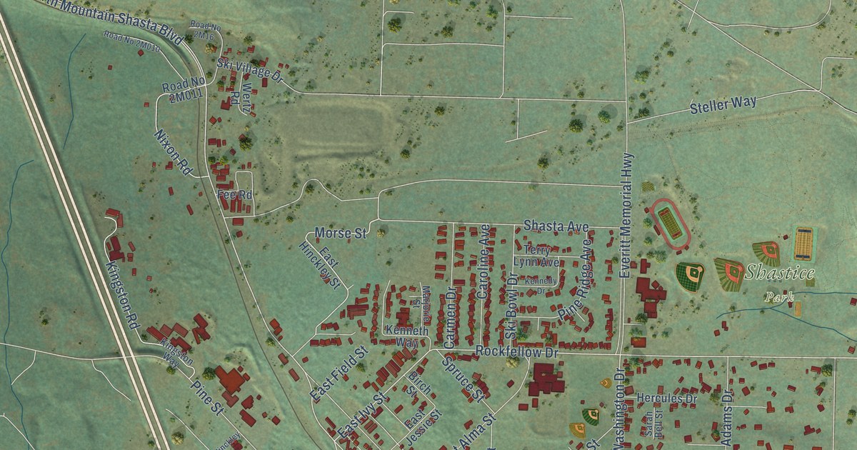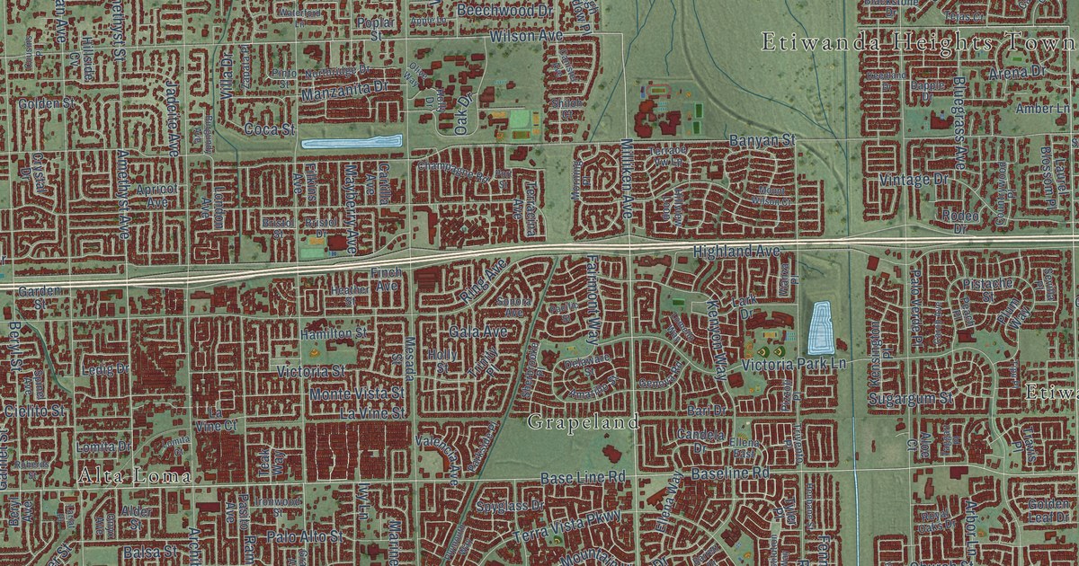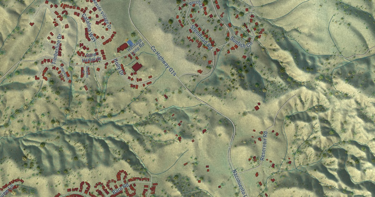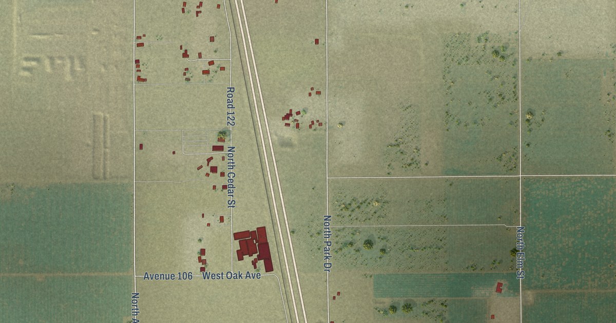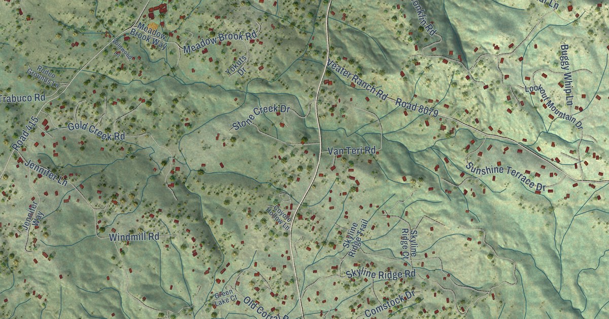
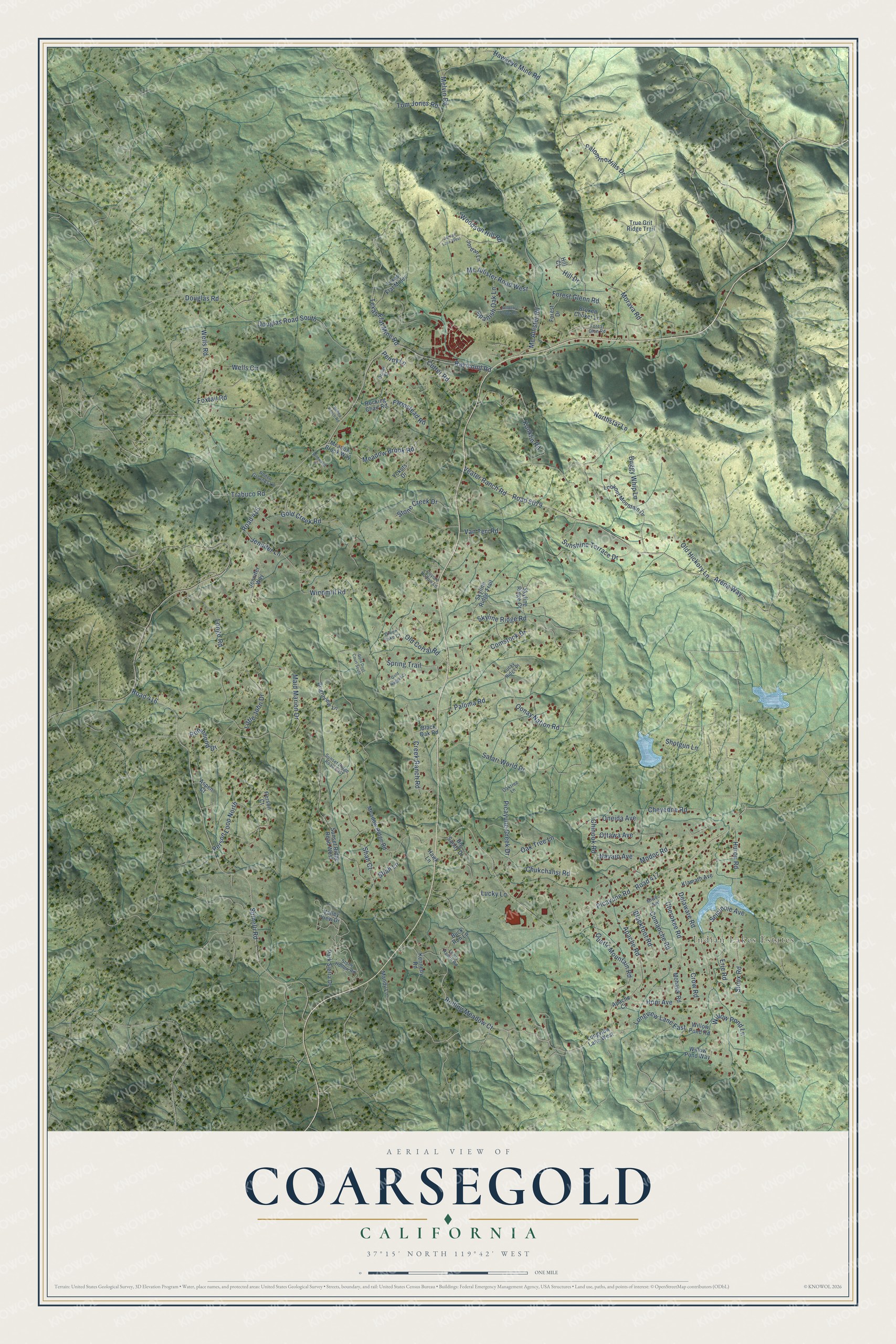
This beautifully detailed map of Coarsegold, California was created in 2026 using aerial imagery combined with modern topographical, census, street and landmark data. It's a modern aerial view of Coarsegold in Madera County, California, that combines modern data with a vintage aesthetic. The roads feature printed names, and if you look closely you can find your exact house accurately shown in its correct location.
Explore an aerial view of Coarsegold, California
On this map you'll find Indian Lakes Estates, Road 8079, Longview Lane East, Rolling Meadow Court, Chinook Road, Road 415, Raymond Road, Road 416, Spinelli Road, Picayune Road, Road 417, Veater Ranch Road, and more. Each red shape is a building, so zoom in on the preview and look for yours.
Coarsegold has a story worth telling. Coarsegold began in 1849, when miners from Texas camped by a creek in the foothills. One of them spotted the glitter of gold while getting water, and after they found several nuggets they named the place Coarse Gold Gulch. Other Texans found nuggets about a mile away and soon started the Texas Flat Mine, the first deep quartz mine there. That's from the E Clampus Vitus Grub Gulch Chapter.
Coarsegold is a community in Madera County. The Census Bureau counted 4,144 people here in 2020.
Take a closer look at the Coarsegold map
Names on this map
These names are printed on this map.
Places: Indian Lakes Estates.
Streets and roads: Road 8079, Longview Lane East, Rolling Meadow Court, Chinook Road, Road 415, Raymond Road, Road 416, Spinelli Road, Picayune Road, Road 417, Veater Ranch Road, Skyline Ridge Road.
More street names, A to Z
Apache Court, Apache Road, Arena Way, Aspen Court, Big Sandy Drive, Blackfoot Road, Black Oak Road, Bohna Ranch Road, Brightview Lane, Broken Choker Lane, Buck Run Lane, Buggy Whip Lane, Cherokee Road, Cheyenne Road, Chukchansi Road, Comanche Road, Comstock Drive, Coyote Hollow Lane, Creek Ranch Road, Crow Road, Cutter Road, Delaware Road, Dollar Court, Douglas Road, Douglas Road South, Erie Road, Farmstead Road, Forest Drive, Forest Glenn Road, Forest Glen Road, Foxtail Road, Gold Creek Road, Gold Dust Court South, Golden Poppy Lane, Gold Nugget Court, Green Lake Court, Hawkeye Mine Road, Hawk Lane, Hill Court, Hill Drive, Hopi Avenue, Huron Road, Jennifer Lane, Jennifer Way, Jordan Lane, Jordan Lane West, Kennedy Road, Klamath Avenue, Konklin Road, Lewis Ranch Road, Little John Drive, Longo Road, Longview Lane West, Lookout Mountain Drive, Lucky Lane, Lucky Ridge Place, Maid Marion Drive, Mandy Lane, Mc Allister Road, Mc Allister Road West, Meadow Brook Road, Meadow Brook Way, Meadow Ridge Road, Melvin Road, Miwoc Avenue, Modoc Road, Mohawk Road, Morava Road, Navajo Avenue, Northstar Lane, Oak Tree Lane, Oaktree Lane, Old Corral Road, Old Hickory Lane, Oneida Avenue, Oonay Nation Road, Ottawa Avenue, Paloma Road, Palomino Hills Drive, Park Sierra Drive, Penny Lane, Person Court, Person Loop North, Picayune Creek Drive, Quartz Mountain Road, Robinhood Drive, Rocking Chair Road, Rodeo Grounds Lane, Safari World Drive, Seminole Avenue, Shah Court, Shah Lane, Shotgun Lane, Sioux Road, Skyline Ridge Court, Skyline Ridge Trail, Spanish Oak Lane, Spring Trail, Stone Creek Drive, Stone Hollow Road, Sunset Ridge Road East, Sunset Ridge Road West, Sunshine Terrace Drive, Texas Flat Mine Road, Texas Flat Mines, Tom Jones Road, Trabuco Road, True Grit Ridge Trail, Valley View Drive, Van Teri Road, Wells Circle, Wells Road, Wildwood Lane, Willow Pond Lane, Willow Pond Road, Willow Pond Way, Windmill Road, Woodson Hill Road, Yokuts Drive.
See it on a wall
The Coarsegold map as a framed print. Swipe for more.


Created by KNOWOL in 2026. The buildings are small red shapes, the roads carry their printed names, and shaded relief shows the shape of the land. The title panel reads "AERIAL VIEW OF COARSEGOLD, CALIFORNIA" with 37°15' NORTH 119°42' WEST.
It looks right in a kitchen, an office or a den, and it's a gift for anyone who grew up in Coarsegold or moved away. Open the preview and find your street. See sizes and frames for the Coarsegold map.