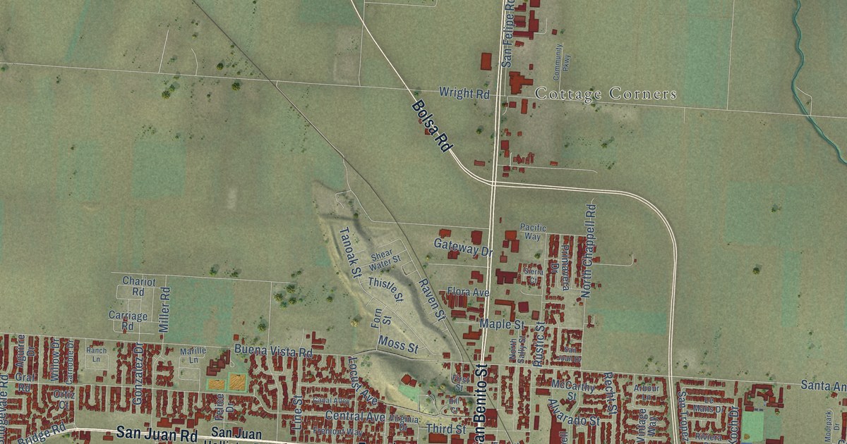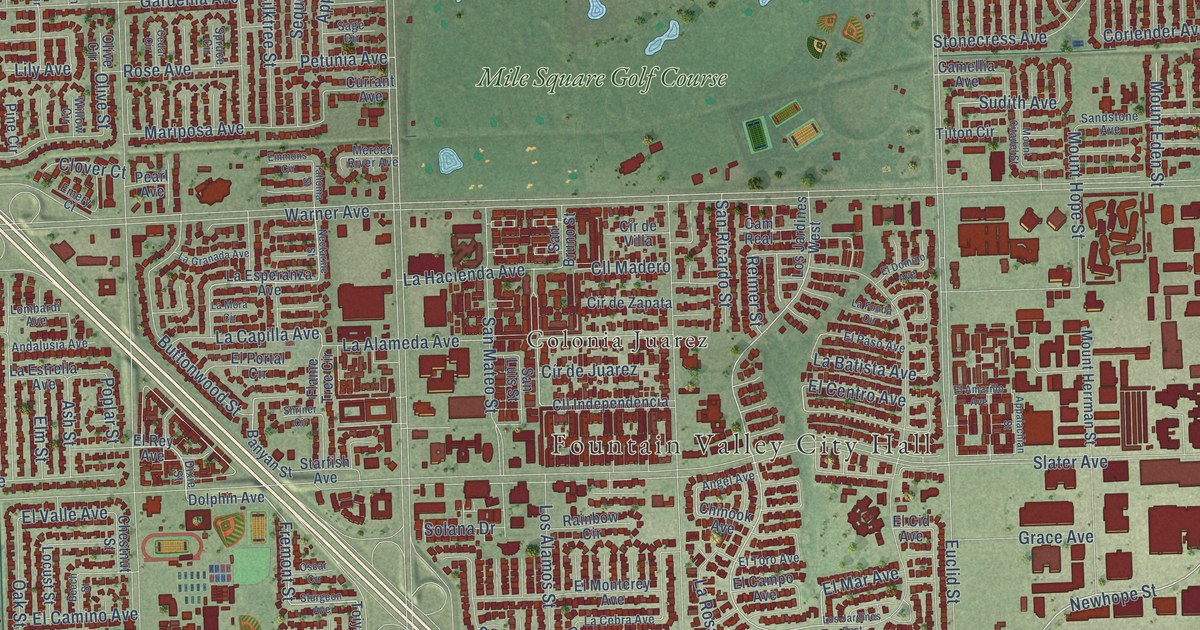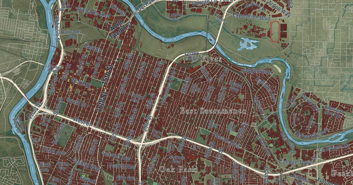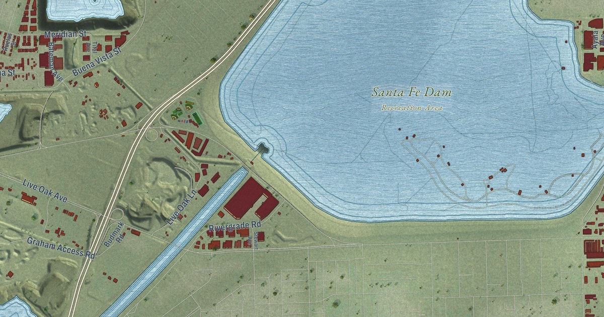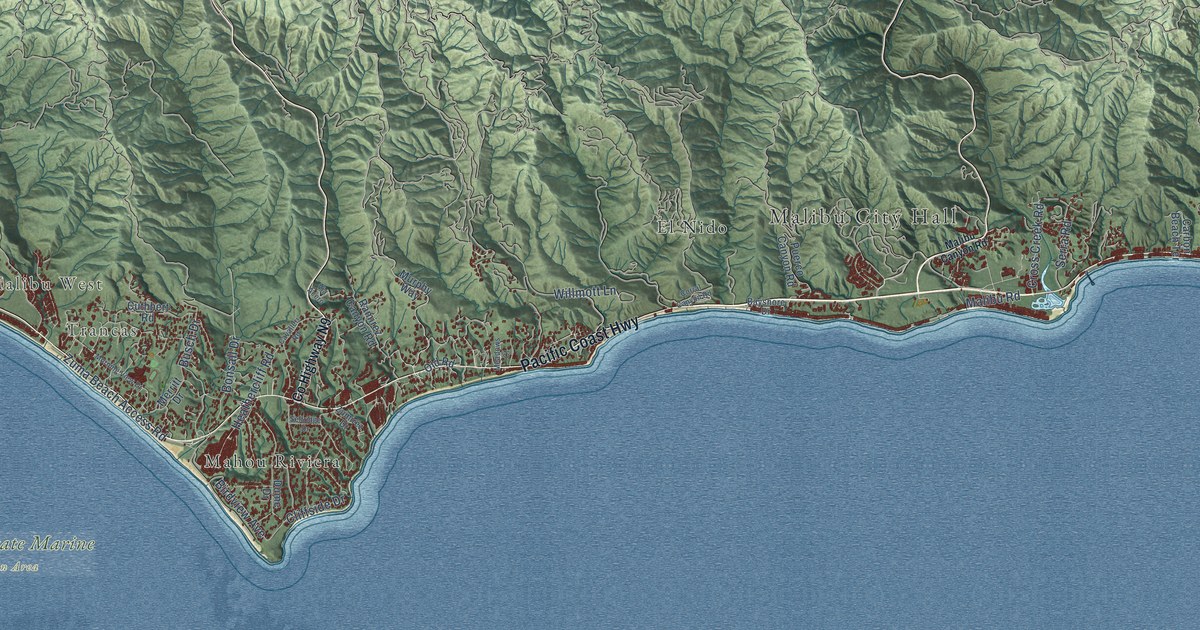
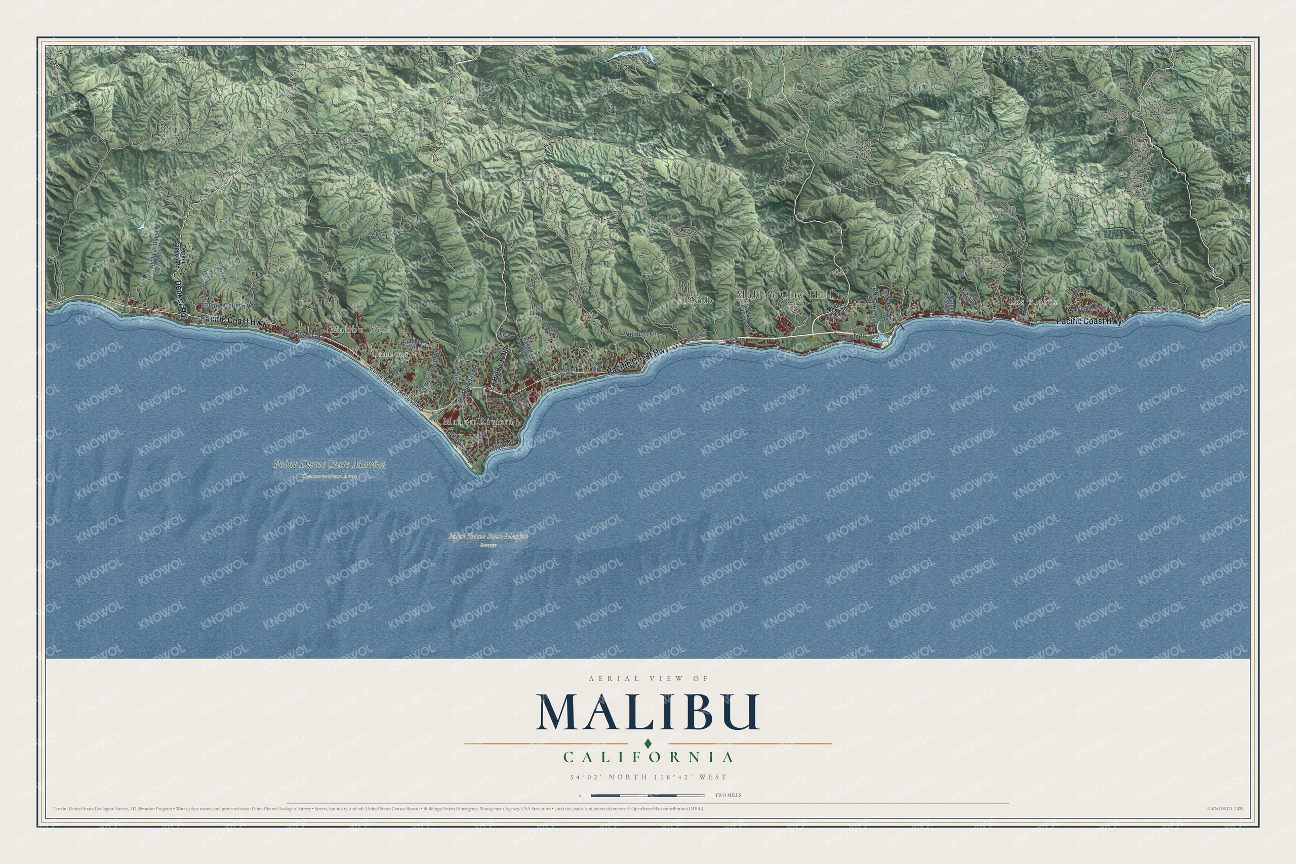
This beautifully detailed map of Malibu, California was created in 2026 using aerial imagery combined with modern topographical, census, street and landmark data. It's a modern aerial view of Malibu in Los Angeles County, California, that combines modern data with a vintage aesthetic. The roads feature printed names, and if you look closely you can find your exact house accurately shown in its correct location.
Explore an aerial view of Malibu, California
On this map you'll find Malibu City Hall, Las Flores, Malibu West, Trancas, Point Dume State Marine Conservation Area, Point Dume State Marine Reserve, El Nido, Mahou Riviera, Pacific Coast Highway, Decker Road, Malibu Road, Encinal Canyon Road, and more. Each red shape is a building, so zoom in on the preview and look for yours.
Every town has a first chapter, and Malibu is no exception. The record at ohp.parks.ca.gov puts it this way: "The home was built for Merritt Huntley Adamson and Rhoda Rindge Adamson, daughter of Frederick Hastings Rindge and May Knight Rindge, last owners of the Rancho Malibu Spanish grant."
Malibu is a city in Los Angeles County. The Census Bureau counted 10,654 people here in 2020.
Take a closer look at the Malibu map
Names on this map
These names are printed on this map.
Places: Malibu City Hall, Las Flores, Malibu West, Trancas, Point Dume State Marine Conservation Area, Point Dume State Marine Reserve, El Nido and Mahou Riviera.
Streets and roads: Pacific Coast Highway, Decker Road, Malibu Road, Encinal Canyon Road, Broad Beach Road, Bonsall Drive, Serra Road, Zuma Beach Access Road, Busch Drive, Heathercliff Road, Willmott Lane, Birdview Avenue.
More street names, A to Z
Bayshore Drive, Big Rock Drive, Budwood Mtwy, Carbon Beach Terrace, Carbon Mesa Road, Cavalleri Road, Cliffside Drive, Corral Canyon Road, County Highway N9, Cross Creek Road, Cuthbert Road, Decker Canyon Road, Dume Drive, Malibu Canyon Road, Meadows Court, Merritt Drive, Morning View Drive, Murphy Way, Nicholas Ridge Motor Way, Old Road, Pena Road, Potrero Road, Puerco Canyon Road, Rambla Vis, Ramirez Canyon Road, Seaboard Road, Selfridge Drive, Via Acero, Vis del Preseas, Zumirez Drive.
Created by KNOWOL in 2026. The buildings are small red shapes, the roads carry their printed names, and shaded relief shows the shape of the land. The title panel reads "AERIAL VIEW OF MALIBU CALIFORNIA" with 34°02' NORTH 118°42' WEST.
Hang it in the hallway, the office or the cabin, or give it to someone who left Malibu and still calls it home. Open the preview and look for a street you know. See sizes and frames for the Malibu map.