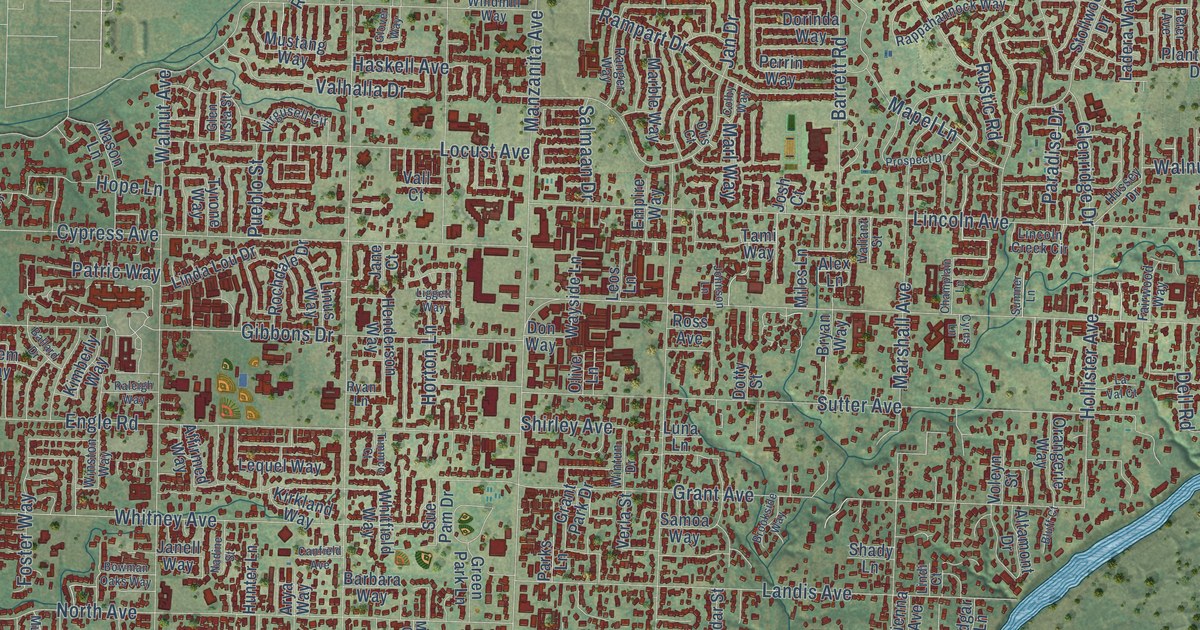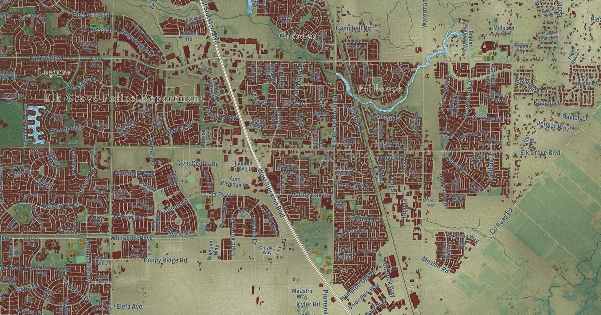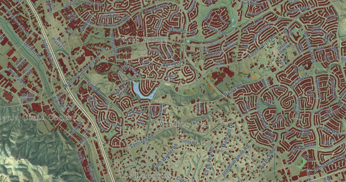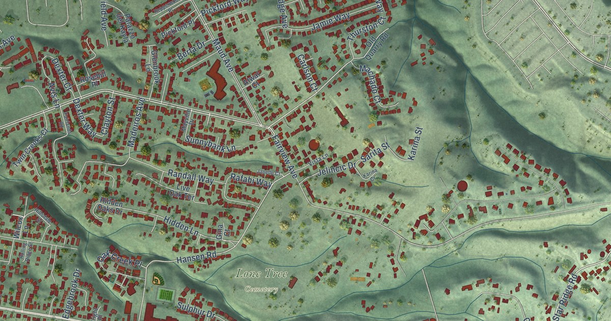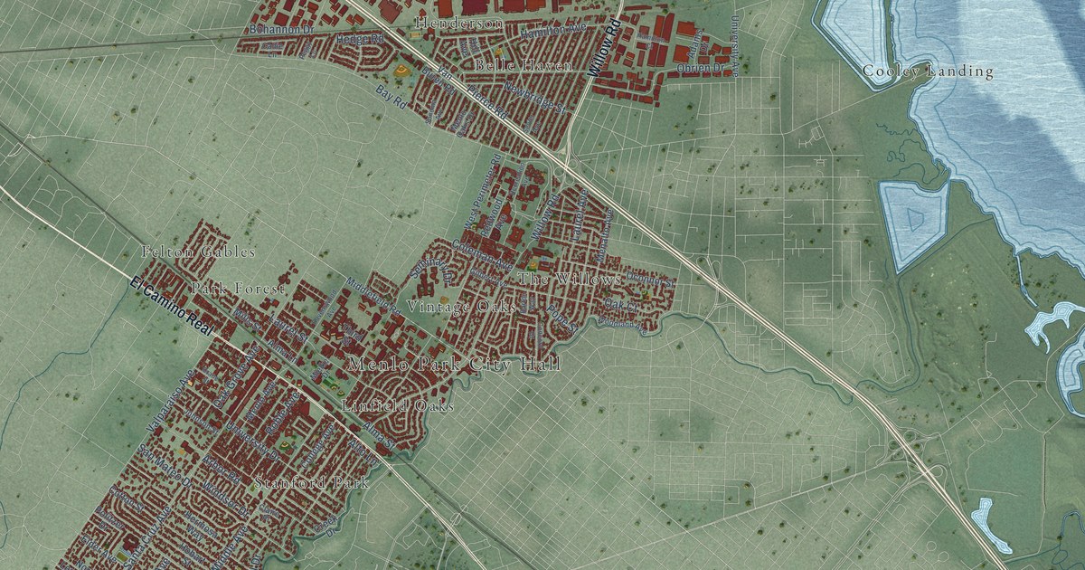
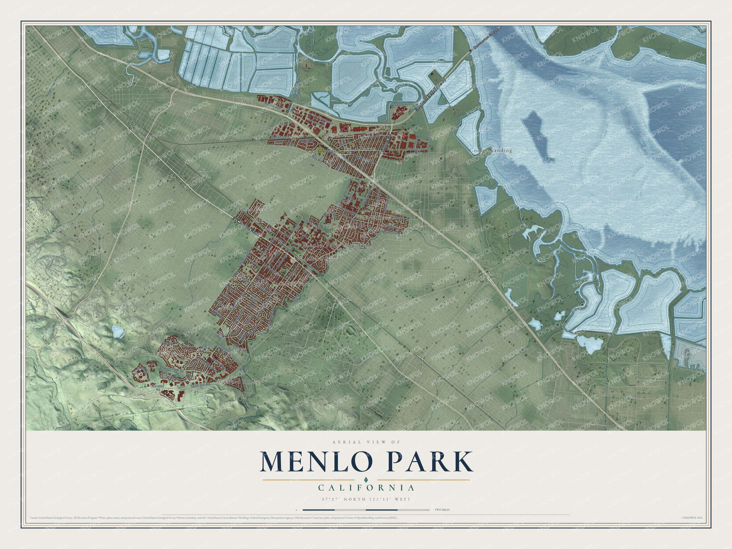
This beautifully detailed map of Menlo Park, California was created in 2026 using aerial imagery combined with modern topographical, census, street and landmark data. It's a modern aerial view of Menlo Park in San Mateo County, California, that combines modern data with a vintage aesthetic. The roads feature printed names, and if you look closely you can find your exact house accurately shown in its correct location.
Explore an aerial view of Menlo Park, California
On this map you'll find Menlo Park City Hall, Sharon Heights, Belle Haven, Cooley Landing, Felton Gables, Henderson, Linfield Oaks, Park Forest, Stanford Hills, Stanford Park, The Willows, Vintage Oaks, and more. Each red shape is a building, so zoom in on the preview and look for yours.
Menlo Park has a story worth telling. The record at ohp.parks.ca.gov puts it this way: "This building, constructed in 1867 by the San Francisco and San Jose Railroad Company, is the oldest railroad passenger station in California."
Menlo Park is a city in San Mateo County. The Census Bureau counted 33,780 people here in 2020.
Take a closer look at the Menlo Park map
Names on this map
These names are printed on this map.
Places: Menlo Park City Hall, Sharon Heights, Belle Haven, Cooley Landing, Felton Gables, Henderson, Linfield Oaks, Park Forest, Stanford Hills, Stanford Park, The Willows and Vintage Oaks.
Streets and roads: Bayfront Expressway, El Camino Real, Willow Road, Scott Drive, Newbridge Street, Bohannon Drive, Sand Hill Road, Santa Cruz Avenue, Bay Road, Valparaiso Avenue, Sharon Park Drive, Marsh Road.
More street names, A to Z
Adams Drive, Alameda de Las Pulgas, Alma Lane, Alma Street, Alpine Road, Alto Lane, Arbor Road, Avy Avenue, Barton Way, Bay Laurel Drive, Callie Lane, Claire Place, Cloud Avenue, Coleman Avenue, College Avenue, Concord Drive, Constitution Drive, Cotton Street, Crane Street, Creek Drive, Crest Lane, Doris Drive, Dumbarton Bridge, Elder Avenue, Gilbert Avenue, Hamilton Avenue, Hamilton Court, Haven Avenue, Hedge Road, Hermosa Way, Hill Avenue, Hobart Street, Jefferson Drive, Johnson Street, La Loma Drive, Laurel Avenue, Laurel Street, Menalto Avenue, Menlo Avenue, Menlo Oaks Drive, Middle Avenue, Middlefield Road, Mielke Drive, Mills Street, Monte Rosa Drive, Network Circle, North Lemon Avenue, Oak Avenue, Oak Court, Oakdell Drive, Oak Grove Avenue, Obrien Drive, Oconnor Street, Olive Street, Peggy Lane, Pierce Road, Politzer Drive, Pope Street, Ravenswood Avenue, Recreation Avenue, Redwood Avenue, Roble Avenue, Sand Hill Circle, Sandhill Road, San Mateo Drive, Seminary Drive, Sevier Avenue, Sharon Road, Siskiyou Drive, Sonoma Avenue, Stanford Avenue, Sunset Lane, Third Street, Trinity Drive, University Avenue, University Drive, Van Buren Road, Vine Street, West Perimeter Road, White Oak Drive, Windsor Drive, Woodland Avenue.
Created by KNOWOL in 2026. The buildings are small red shapes, the roads carry their printed names, and shaded relief shows the shape of the land. The title panel reads "AERIAL VIEW OF MENLO PARK CALIFORNIA" with 37°27' NORTH 122°11' WEST.
It looks right in a kitchen, an office or a den, and it's a gift for anyone who grew up in Menlo Park or moved away. Open the preview and find your street. See sizes and frames for the Menlo Park map.