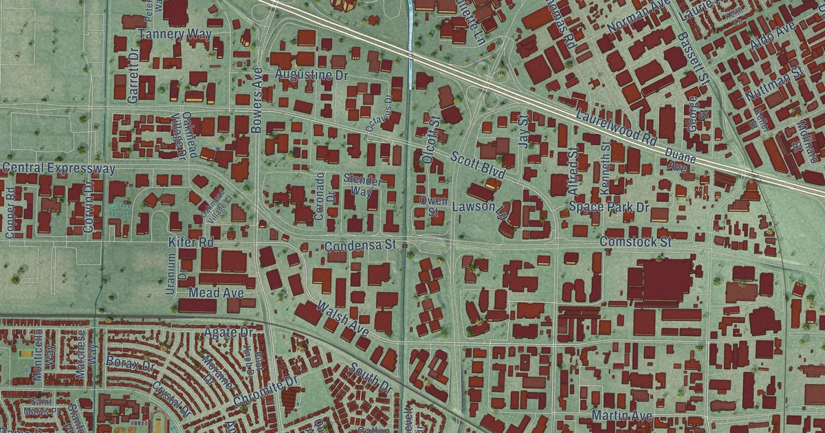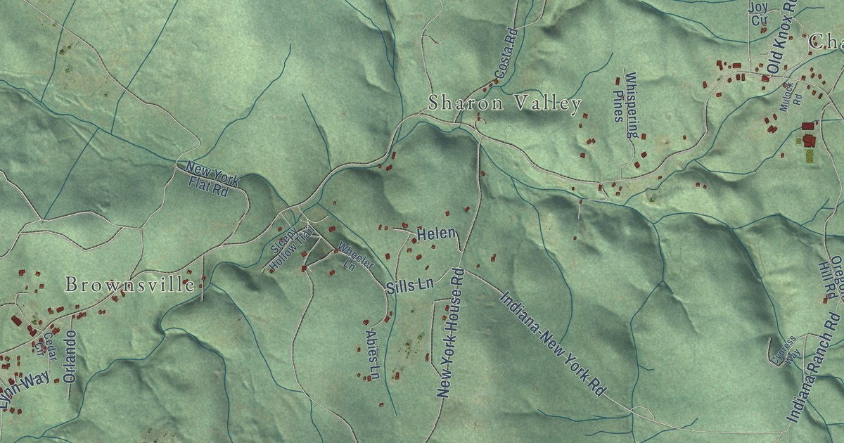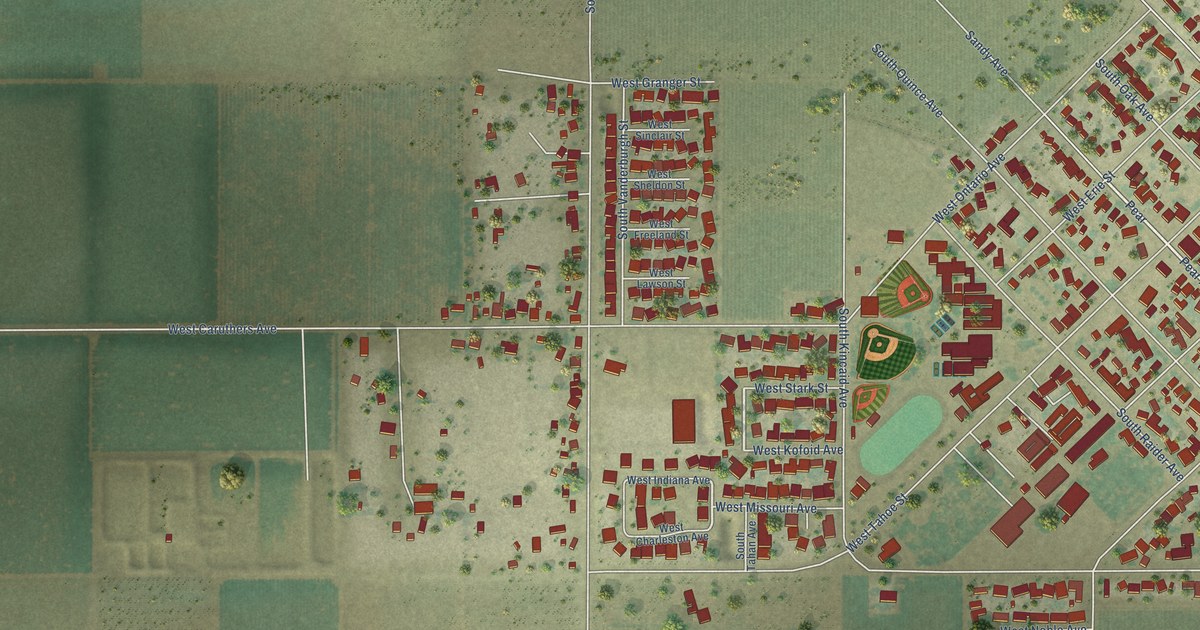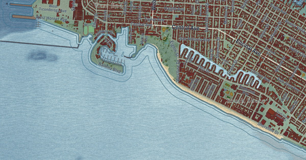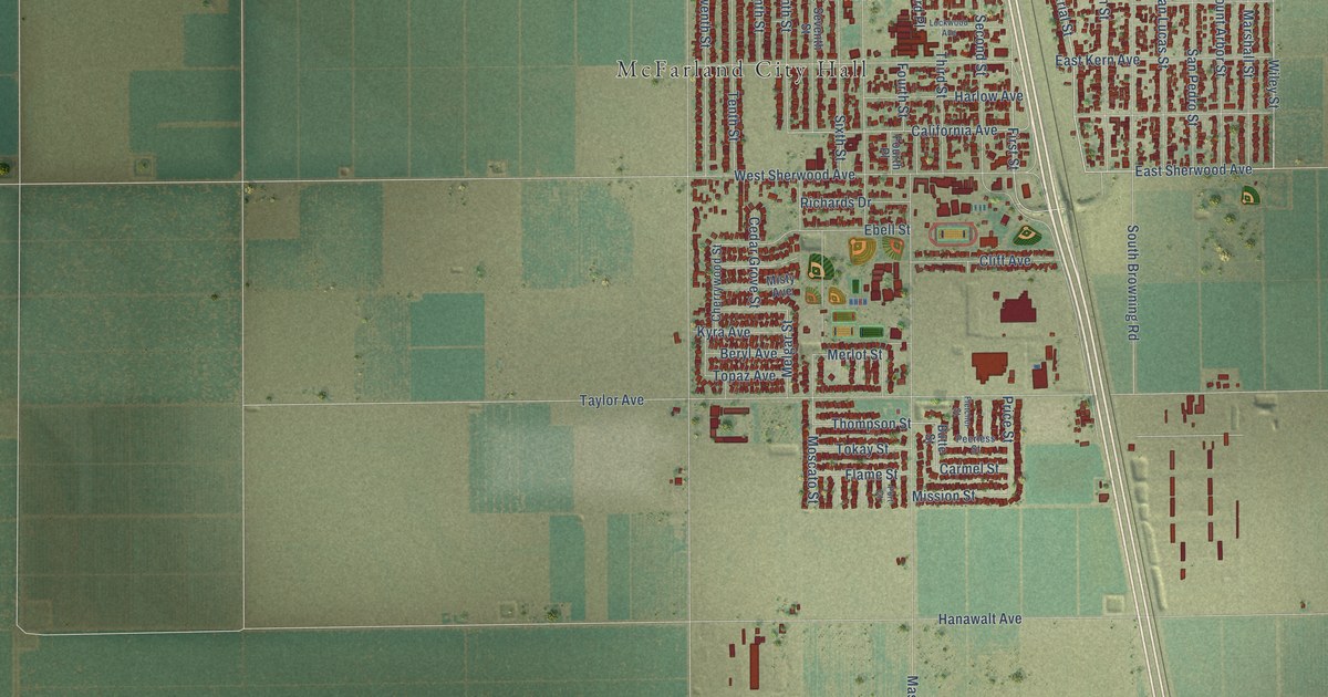
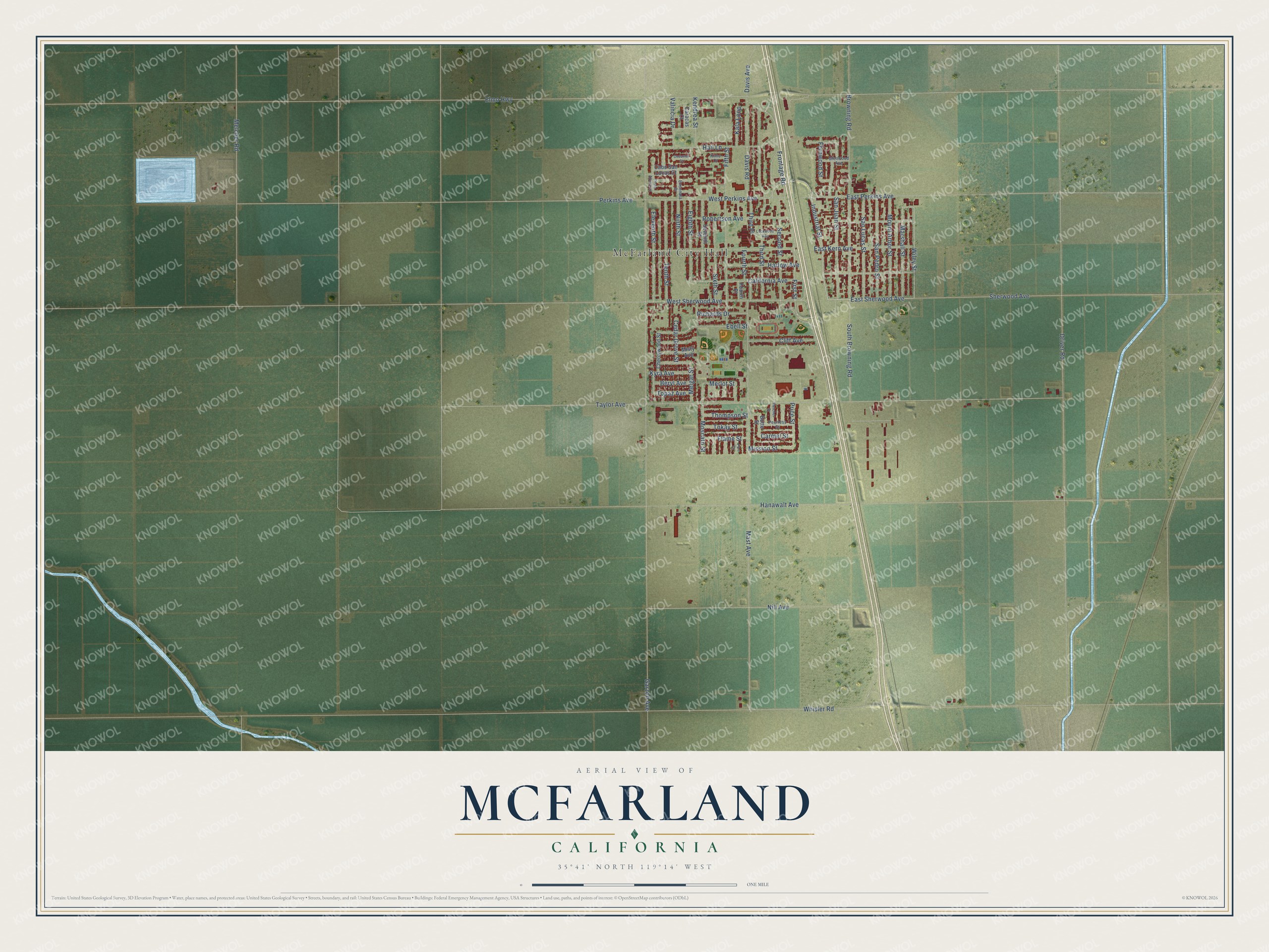
This beautifully detailed map of McFarland, California was created in 2026 using aerial imagery combined with modern topographical, census, street and landmark data. It’s a one-of-a-kind view of McFarland that combines accurate data with a vintage aesthetic. The map shows every building in its true location, many of the roads carry their names, and the shaded topographic relief shows the shape of the land.
Explore an aerial view of McFarland, California
On the map you’ll find McFarland City Hall, along with Industrial Street, Wiley Street, East Sherwood Avenue, Perkins Avenue, Robertson Avenue, First Street, California Avenue, Melgar Street, Merlot Street, Elmo Highway, Garzoli Avenue, and more. If you look closely you can even find your house accurately drawn in its correct location. Zoom in on the preview to look for yours.
Did you know this piece of McFarland, California history?
From the McFarland Unified School District: "McFarland was named for James Boyd McFarland, a school teacher in Zanesville, Ohio, before coming to California around the turn of the century."
Take a closer look at the McFarland map
Street and place names on the McFarland, California map
These names are printed on the map of McFarland, California.
Places: McFarland City Hall.
Streets and roads: Industrial Street, Wiley Street, East Sherwood Avenue, Perkins Avenue, Robertson Avenue, First Street, California Avenue, Melgar Street, Merlot Street, Elmo Highway, Garzoli Avenue, Taylor Avenue.
More street names, A to Z
Beryl Avenue, Browning Road, Butte Street, Cabo San Lucas Court, Caracas Court, Carmel Street, Cedar Grove Street, Cherrywood Street, Cliff Avenue, Costa Alyssa Court, Cozumel Court, Davis Avenue, Davis Road, Driver Road, East Kern Avenue, East Perkins Avenue, Ebell Street, Eighth Street, Eleventh Street, Ensenata Drive, Fernwood Street, Fifth Street, Flame Street, Fletcher Street, Fourth Place, Fourth Street, Frontage Road, Glenwood Avenue, Hail Lane, Hanawalt Avenue, Harlow Avenue, Kala Loop, Kendrea Street, Kimo Court, Kyra Avenue, Lockwood Avenue, Marshall Street, Mast Avenue, Melcher Road, Mission Street, Misty Avenue, Moscato Street, Mount Arbor Street, Nill Avenue, Ninth Street, Peerless Street, Port Court, Price Street, Richards Drive, San Juan Street, San Lucas Street, San Pedro Street, Second Street, Seventh Street, Sherwood Avenue, Sixth Street, South Browning Road, Tenth Street, Third Place, Third Street, Thompson Street, Tokay Street, Topaz Avenue, Valincia Drive, West Perkins Avenue, West Sherwood Avenue, Whisler Road.
See the McFarland, California map on a wall
The McFarland map as an 18 x 24 inch print in a black frame.

This beautifully detailed map of McFarland makes an attractive addition to your office, library, or den, and it can even be used to teach children the geography and history of the area. It also makes a great gift for anyone with McFarland roots. When you’re done exploring, click here to get your copy of the McFarland map.