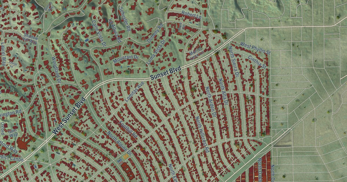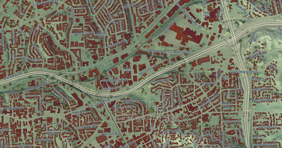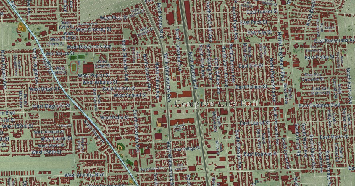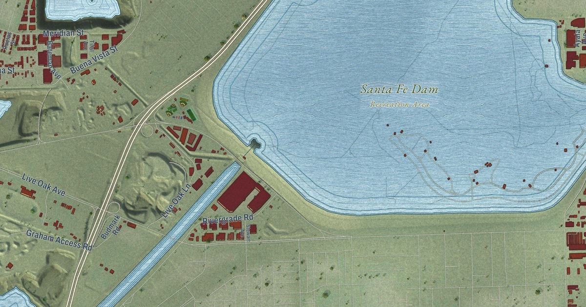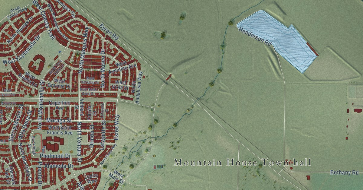
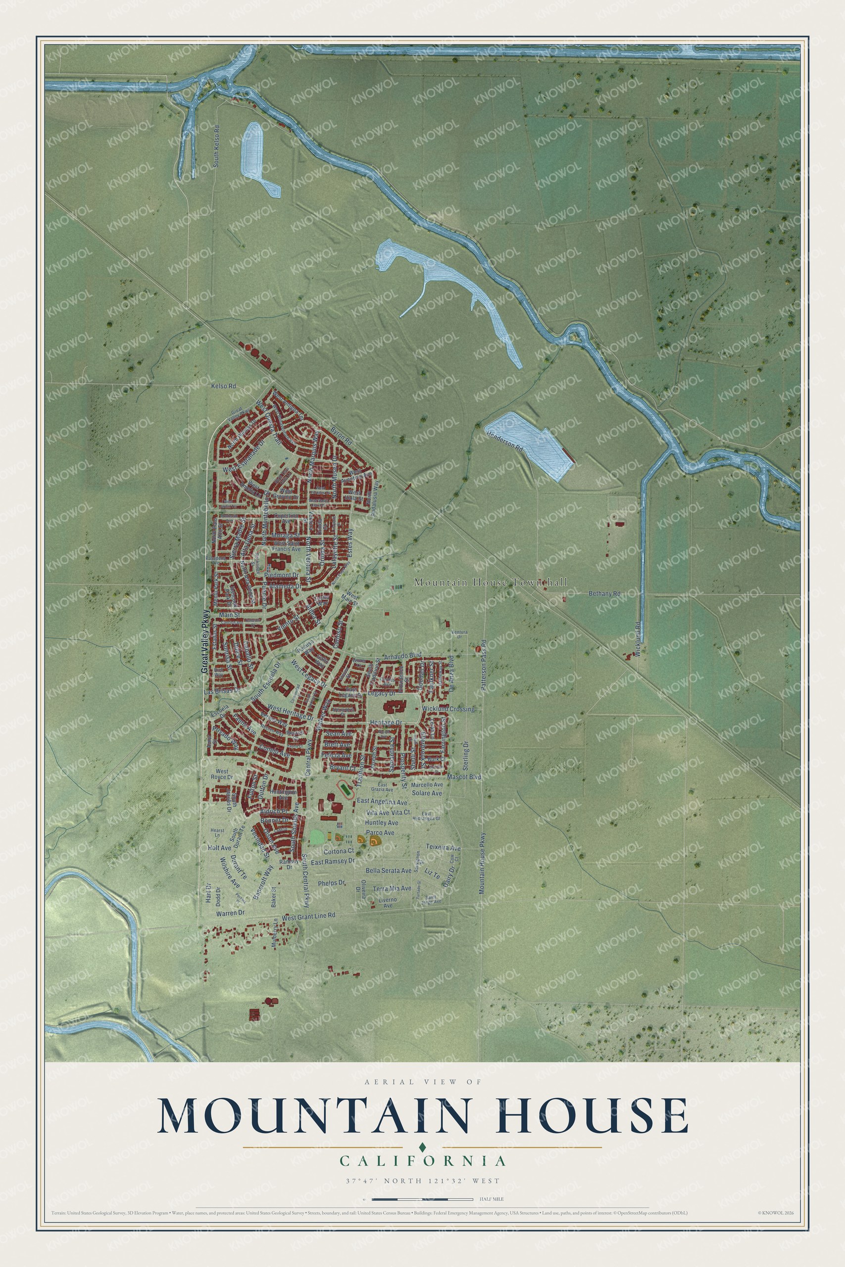
This beautifully detailed map of Mountain House, California was created in 2026 using aerial imagery combined with modern topographical, census, street and landmark data. It's a modern aerial view of Mountain House in San Joaquin County, California, that combines modern data with a vintage aesthetic. The roads feature printed names, and if you look closely you can find your exact house accurately shown in its correct location.
Explore an aerial view of Mountain House, California
On this map you'll find Mountain House Town hall, Great Valley Parkway, Alta Dena Street, Ellerbrook Street, Shelli Street, Heritage Drive, North Marquis Way, North Ventura Street, West Heritage Drive, West Questa Trail, Kelso Road, Estes Way, and more. Each red shape is a building, so zoom in on the preview and look for yours.
Mountain House is a city in San Joaquin County. The Census Bureau counted 24,499 people here in 2020. The map prints the town name in its title panel, with the coordinates below it.
Take a closer look at the Mountain House map
Names on this map
These names are printed on this map.
Places: Mountain House Town hall.
Streets and roads: Great Valley Parkway, Alta Dena Street, Ellerbrook Street, Shelli Street, Heritage Drive, North Marquis Way, North Ventura Street, West Heritage Drive, West Questa Trail, Kelso Road, Estes Way, South Escuela Drive.
More street names, A to Z
Alameda Drive, Aldea Street, Aldrich Place, Alexandria Drive, Amor Street, Arnaudo Boulevard, Baker Street, Bancroft Way, Bella Serata Avenue, Bethany Road, Bonner Drive, Brett Avenue, Bryant Court, Burk Court, Byron Road, Caballo Street, Cancion Avenue, Cancion Court, Central Parkway, Comunidad Street, Conejo Avenue, Cordes Avenue, Cortona Court, Cow Court, Cupertino Avenue, Curioso Street, Dairy Drive, De Anza Boulevard, Dodd Drive, Dulce Street, Durant Te, Dutton Drive, East Angelina Avenue, East Grazia Avenue, East Hydrangea Gl, East Legacy Drive, East Ramsey Drive, Escuela Drive, Estados Street, Farrington Street, Faulkner Street, Fauna Avenue, Fauna Court, Felicia Avenue, Fulton Street, Furtado Gl, Gallo Way, Goodall Drive, Hancock Park Drive, Hart Drive, Hatheway Street, Hearst Lane, Henderson Road, Holt Avenue, Huntington Avenue, Huntley Avenue, Joseph Street, Ladd Drive, Lafayette Court, Lafayette Street, Las Brisas Drive, Le Ah Lane, Legacy Drive, Liverno Avenue, Liz Te, Lucita Way, Main Street, Marcello Avenue, Mascot Boulevard, Menlo Park Street, Montecito Avenue, Moraga Street, Mountain House Parkway, Mulberry Lane, Nicole Avenue, North Alta Dena Street, North Andalusia Way, North Estes Way, North Montebello Street, North Museo Drive, North Palo Alto Street, North Plumas Drive, North Terra Cotta Lane, Oliveira Drive, Olson Avenue, Orinda Court, Orinda Street, Paraiso Way, Parco Avenue, Pasadena Avenue, Patterson Pass Road, Perkins Place, Phelps Drive, Piedmont Drive, Privado Way, Prosperity Street, Providence Street, Puente Drive, Ramsey Drive, Recreo Court, Recreo Way, Rico Way, Rockridge Street, Saint Jorge Avenue, Samantha Street, Sauvignon Street, Sean Avenue, Shelli Court, Sierra Madre Street, Solare Avenue, Sonrisa Street, South Central Parkway, South Curioso Street, South Durant Te, South Jacobs Drive, South Kelso Road, South Shields Avenue, South Tradition Street, Sterling Drive, Steven Street, Sullivan Court, Teixeira Avenue, Terra Mia Avenue, Tradition Street, Vecindad Street, Ventura Drive, Ventura Street, Verano Way, Viento Street, Vita Avenue, Vita Court, Walker Way, Warren Drive, West Amelia Lane, West Antigua Terrace, West Aventino Avenue, West Bonaventure Avenue, West Esplanade Drive, West Grant Line Road, West Gravino Drive, West Jardin Terrace, West Legacy Drive, West Main Street, West Portales Drive, West Royce Drive, West Saint Francis Avenue, West Santa Clara Drive, West Viola Street, Wicklund Crossing, Wicklund Road, Wilshire Avenue, Winter Lane.
Created by KNOWOL in 2026. The buildings are small red shapes, the roads carry their printed names, and shaded relief shows the shape of the land. The title panel reads "AERIAL VIEW OF MOUNTAIN HOUSE CALIFORNIA" with 37°47' NORTH 121°32' WEST.
It looks right in a kitchen, an office or a den, and it's a gift for anyone who grew up in Mountain House or moved away. Open the preview and find your street. See sizes and frames for the Mountain House map.