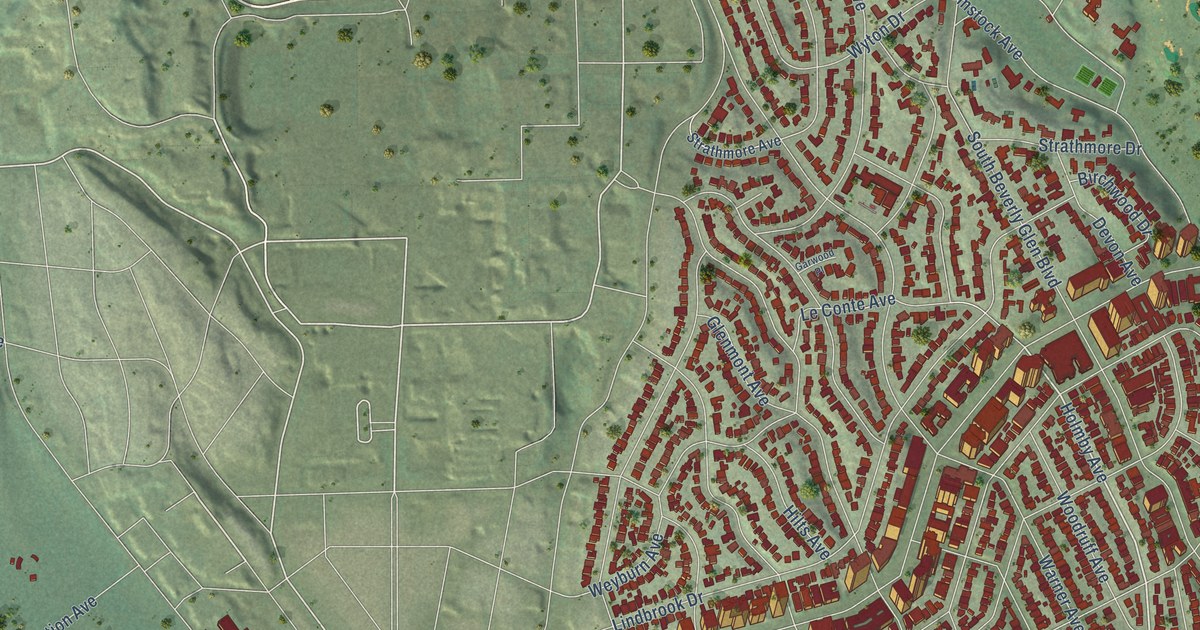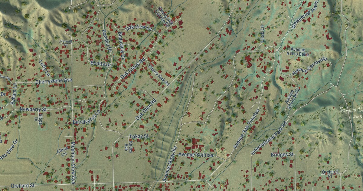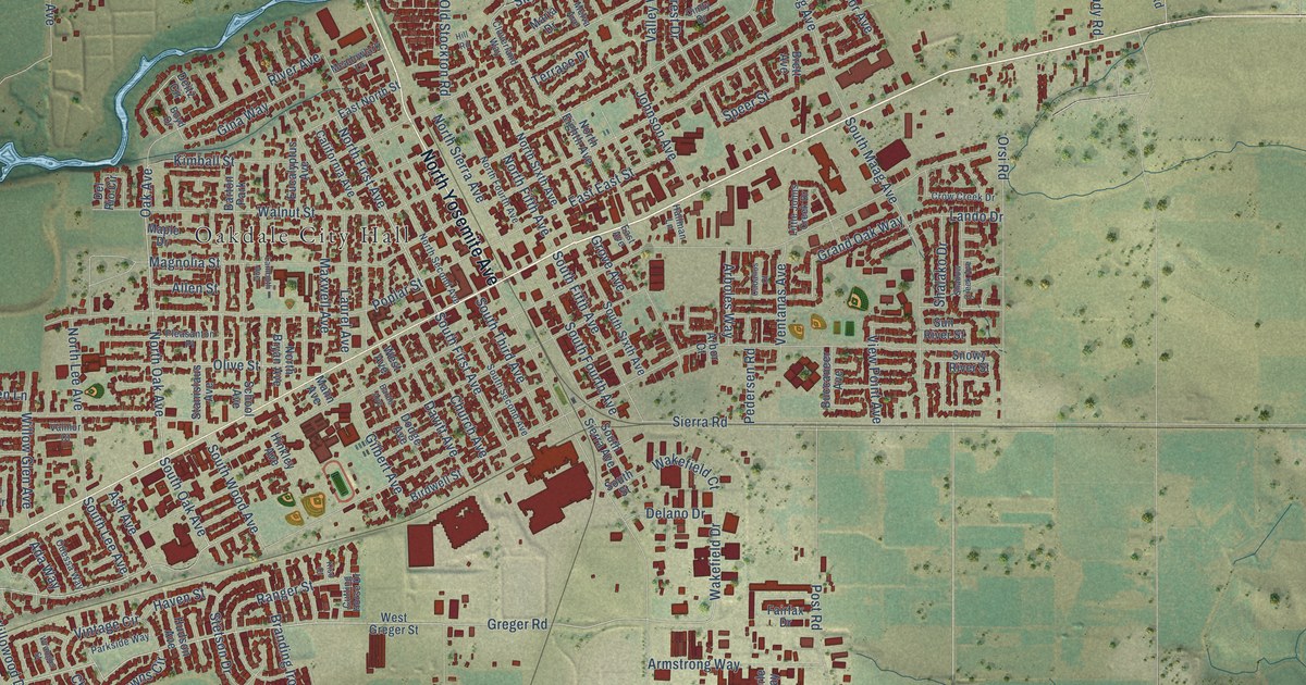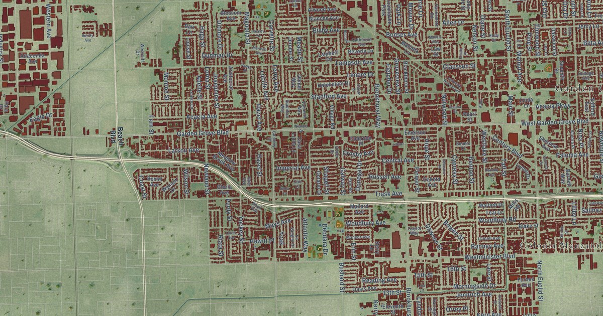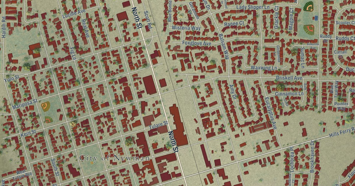
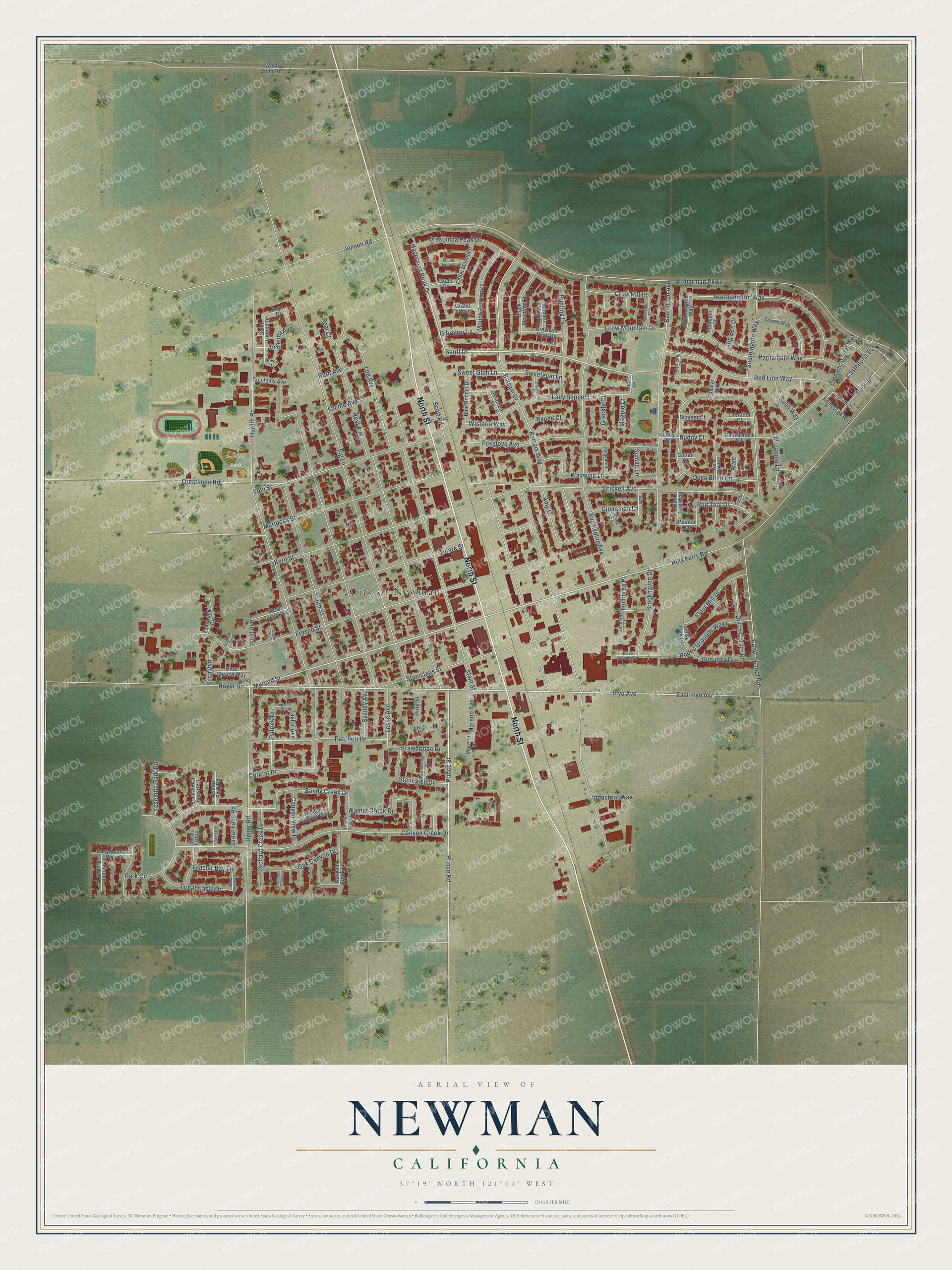
This beautifully detailed map of Newman, California was created in 2026 using aerial imagery combined with modern topographical, census, street and landmark data. It's a modern aerial view of Newman in Stanislaus County, California, that combines modern data with a vintage aesthetic. The roads feature printed names, and if you look closely you can find your exact house accurately shown in its correct location.
Explore an aerial view of Newman, California
On this map you'll find City of Newman, Lions Park, North Street, Merced Street, Inyo Avenue, Banff Drive, Hagerman Peak Drive, Red Teal Drive, Wisteria Way, Prince Road, Sherman Parkway, Fresno Street, and more. Each red shape is a building, so zoom in on the preview and look for yours.
Newman has a story worth telling. The Internet Archive puts it this way: "Newspapers and Library
The first newspaper, the Newman Tribune, was issued in 1888 by Bert Eachus,
and the present journal, the West Side Index, was first issued in 1890 by Innis
Sturgeon."
Newman is a city in Stanislaus County. The Census Bureau counted 12,351 people here in 2020.
Take a closer look at the Newman map
Names on this map
These names are printed on this map.
Places: City of Newman and Lions Park.
Streets and roads: North Street, Merced Street, Inyo Avenue, Banff Drive, Hagerman Peak Drive, Red Teal Drive, Wisteria Way, Prince Road, Sherman Parkway, Fresno Street, Hills Ferry Road, Fig Lane.
More street names, A to Z
Amy Drive, Angelina Avenue, Balsam Drive, Balsam Way, Barrington Avenue, Basil Court, Bennett Valley Court, Big Ben Court, Black Mountain Lane, Blue Bonnet Drive, Blue Spruce Way, Blue Teal Way, Bobolink Avenue, Bonanza Drive, Brant Court, Brookhaven Drive, Bunting Lane, Canal School Road, Canvasback Court, Canyon Brook Lane, Canyon Creek Drive, Canyonland Way, Canyon View Drive, Carlsbad Caverns Court, Castellona Drive, Cattail Court, Cedar Mountain, Chukar Way, Cinnamon Lane, Cinnamon Teal Way, Circle Lane, Clairmont Drive, Clear Creek Court, Clove Court, Corgiat Drive, Creek Park Drive, Crevison Peak Drive, Crow Hill Drive, Crow Mountain Drive, Decoy Lane, Denali Park Court, Driskell Avenue, Duck Blind Circle, Dutch Corner Drive, East Inyo Avenue, Edinburgh Way, Eucalyptus Avenue, Flour Mill Drive, Foxglove Avenue, Geranium Lane, Gibralter Lane, Glacier Bay Lane, Goldenrod Lane, Grackle Court, Grand Teton Court, Great Basin Drive, Great Falls Road, Hammerhill Drive, Hardin Road, Haycastle Court, Hidden Canyon Way, Hodel Lane, Hot Springs Court, Hoyer Road, Industrial Way, Jensen Road, Kaya Drive, Kern Street, Labrador Court, Lady Slipper Lane, Langston Street, Lee Avenue, Leslie Avenue, Lochbrea Court, Lochbrea Place, Lucille Avenue, Lupine Street, Magpie Court, Main Street, Marapole Court, Marapole Lane, Mariposa Street, Mesa Verde Lane, Moreno Avenue, Moreno Lane, Mount Diablo Court, Mount Rainier Court, Mount Rushmore, Northampton Way, Nova Court, Oak Canyon Drive, Orchard Creek Drive, Orestimba Peak Drive, Orestimba Road, Osburn Park Road, Oxalis Drive, Park Circle, Parliament Way, Patchett Drive, Patrick Drive, Peloquin Court, Pine Court, Pine Street, Pointer Way, Prince Street, Ranee Court, Real Avenue, Real Court, Red Lion Way, Rodeo Grounds Court, Rodeo Grounds Way, Rose Park Drive, Rosetta Drive, Ruddy Court, Ruddy Drive, Ruth Avenue, Saint Helena Drive, Sandy Creek Drive, San Marco Way, Scooter Court, Scott Road, Silva Avenue, Soho Way, Southington Way, South Street, Stanislaus Street, Stephens Avenue, Stockbridge Drive, Stoneglen Drive, Strawbridge Drive, Sumac Lane, Sweet Gum Lane, Sweetgum Lane, Sydney Avenue, Tamarack Court, Taylor Avenue, Tivoli Drive, Tower Way, Tulare Street, Upper Road, Walnut Creek Drive, Waxwing Lane, West Avenue, West Stuhr Road, West Tulare Avenue, Whitechurch Way, Wood Duck Court, Yolo Street, Yosemite Park Road.
Created by KNOWOL in 2026. The buildings are small red shapes, the roads carry their printed names, and shaded relief shows the shape of the land. The title panel reads "AERIAL VIEW OF NEWMAN CALIFORNIA" with 37°19' NORTH 121°01' WEST.
It looks right in a kitchen, an office or a den, and it's a gift for anyone who grew up in Newman or moved away. Open the preview and find your street. See sizes and frames for the Newman map.