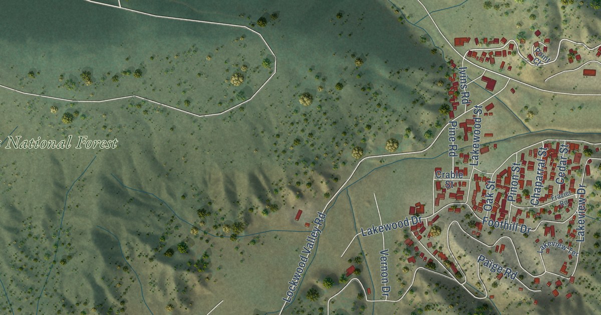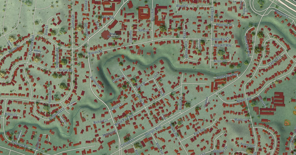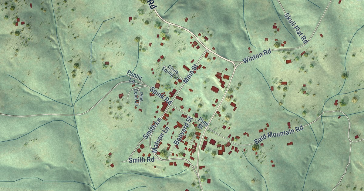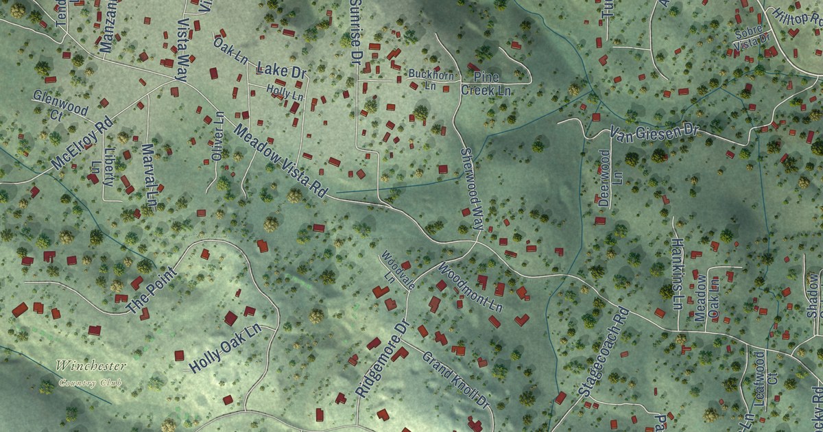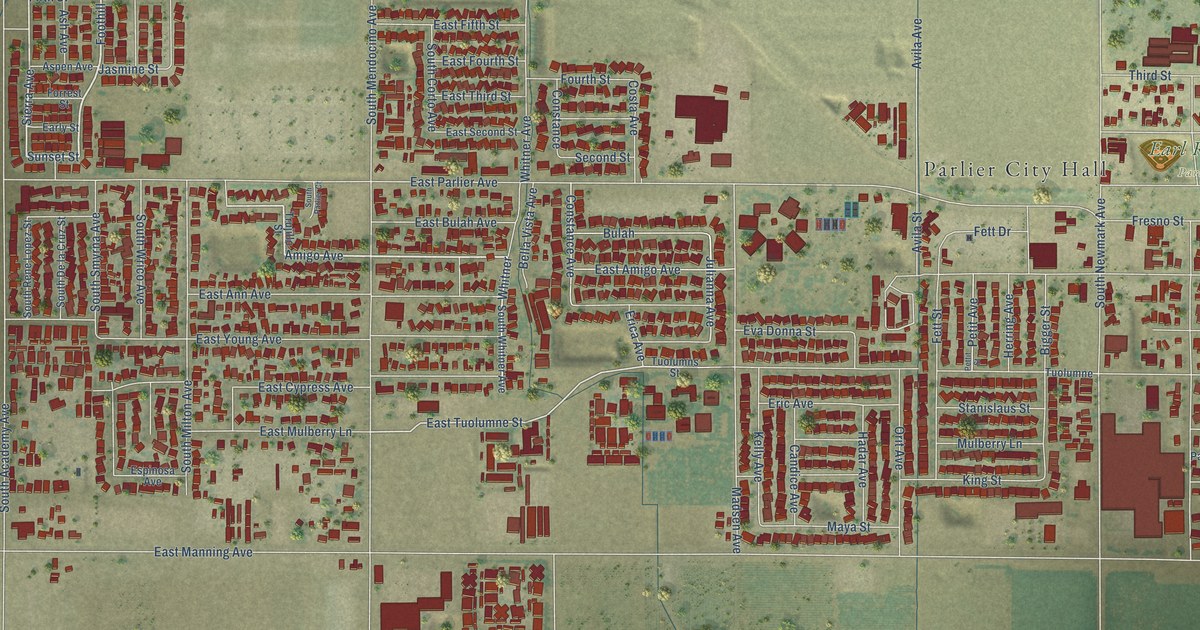
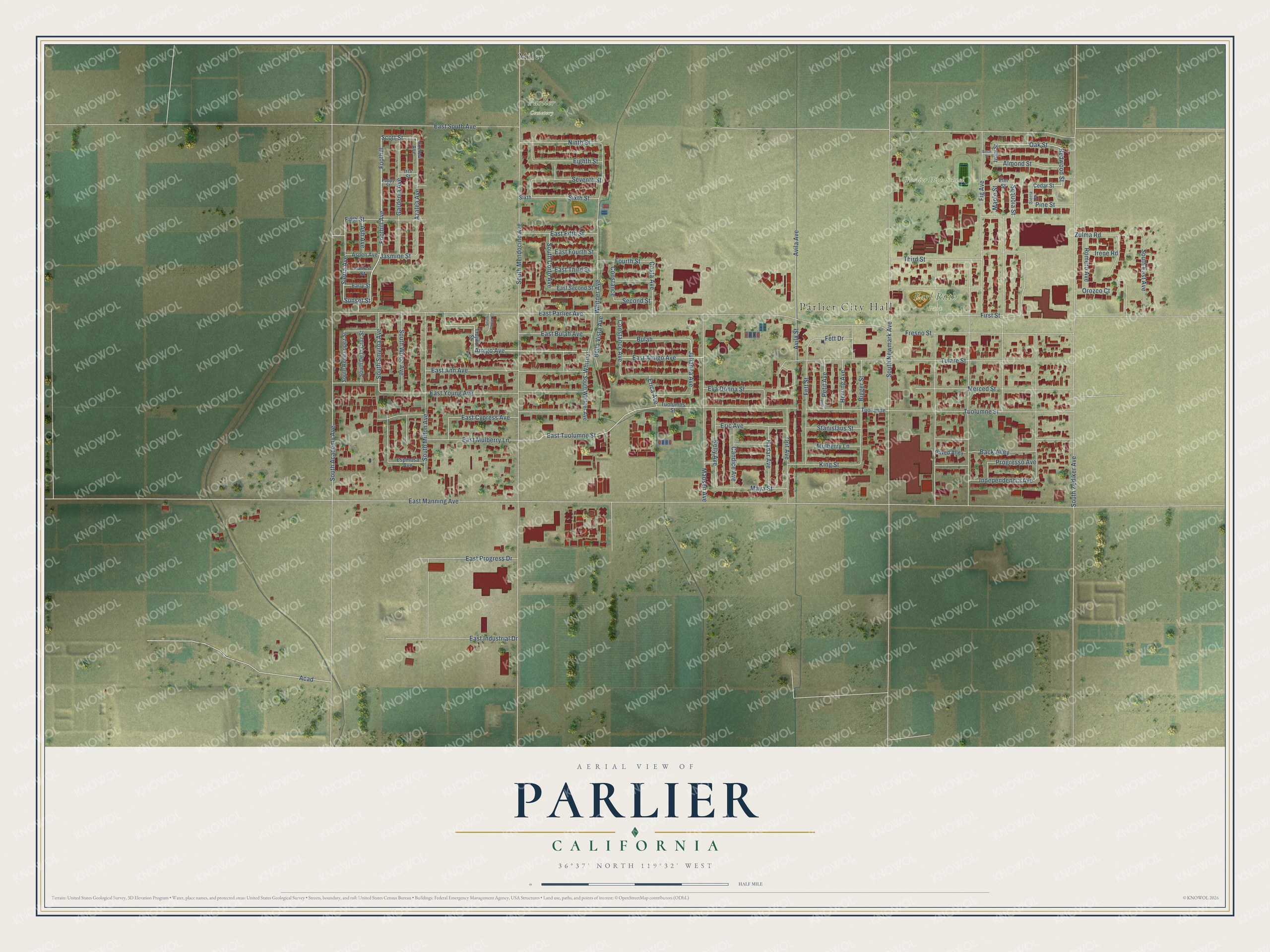
This beautifully detailed map of Parlier, California was created in 2026 using aerial imagery combined with modern topographical, census, street and landmark data. It’s a one-of-a-kind view of Parlier that combines accurate data with a vintage aesthetic. The map shows every building in its true location, many of the roads carry their names, and the shaded topographic relief shows the shape of the land.
Explore an aerial view of Parlier, California
On the map you’ll find Parlier City Hall, Parlier Cemetery, Parlier High School, Earl Ruth Park, Miley, and Foothill, along with Foothill Avenue, Scott Street, Amigo Avenue, Sunset Street, Oak Street, Redwood Street, and more. If you look closely you can even find your house accurately drawn in its correct location. Zoom in on the preview to look for yours.
Did you know this about Parlier, California?
From the Fresno County History: "One historical tree of the county is the giant fig at the I. N. Parlier home, a landmark of the county and one of the largest trees in the United States."
Take a closer look at the Parlier map
Street and place names on the Parlier, California map
These names are printed on the map of Parlier, California.
Places: Parlier City Hall, Parlier Cemetery, Parlier High School, Earl Ruth Park and Miley.
Streets and roads: Foothill Avenue, Scott Street, Foothill, Amigo Avenue, Sunset Street, Oak Street, Redwood Street, Sierra Avenue, Azalea Avenue, East Bulah Avenue, Whitner, Julianna Avenue.
More street names, A to Z
Acad, Almond Street, Ash Avenue, Aspen Avenue, Avila Avenue, Avila Street, Azelea Avenue, Back Alley, Bella Vista Avenue, Bigger Street, Birch Street, Bulah, Candice Avenue, Cedar Street, Constance, Constance Avenue, Costa Avenue, Early Street, East Amigo Avenue, East Ann Avenue, East Cypress Avenue, East Fifth Street, East Fourth Street, East Industrial Drive, East Manning Avenue, East Mulberry Lane, East Parlier Avenue, East Progress Drive, East Second Street, East South Avenue, East Third Street, East Tuolumne Street, East Young Avenue, Eighth Street, Elm Street, Erica Avenue, Eric Avenue, Espinosa Avenue, Eva Donna Street, Fett Drive, Fett Street, Fifth Street, Fig Avenue, First Street, Forrest Street, Fourth Street, Fresno Street, Gardenia Avenue, Hadar Avenue, Herring Avenue, Independencia Avenue, Irene Road, Iris Street, Ivory Street, Jasmine Street, Kelly Avenue, King Street, Madsen Avenue, Maple Street, Maya Street, Merced Street, Mulberry Lane, Ninth Street, Orit Avenue, Orozco Court, Paved Alley, Petit Avenue, Pettit Street, Pine Street, Poppy Street, Progresso Avenue, Romero Avenue, Second Street, Sequoia Street, Seventh Street, Sierra Street, Sixth, Sixth Street, South Academy Avenue, South Corto Avenue, South De la Cruz Street, South East Avenue, South Mendocino Avenue, South Milton Avenue, South Newmark Avenue, South Parlier Court, South Rene Lopez Street, South Smyrna Avenue, South Whitner Avenue, South Wrico Avenue, South Zediker Avenue, Stanislaus Street, Third Street, Trujillo Street, Tulare Street, Tuolumne, Tuolumne Street, Tuolumns Street, Whitner Avenue, Zulma Road.
See the Parlier, California map on a wall
The Parlier map as an 18 x 24 inch print in a black frame.

This beautifully detailed map of Parlier makes an attractive addition to your office, library, or den, and it can even be used to teach children the geography and history of the area. It also makes a great gift for someone who left Parlier and still calls it home. When you’re done exploring, click here to get your copy of the Parlier map.