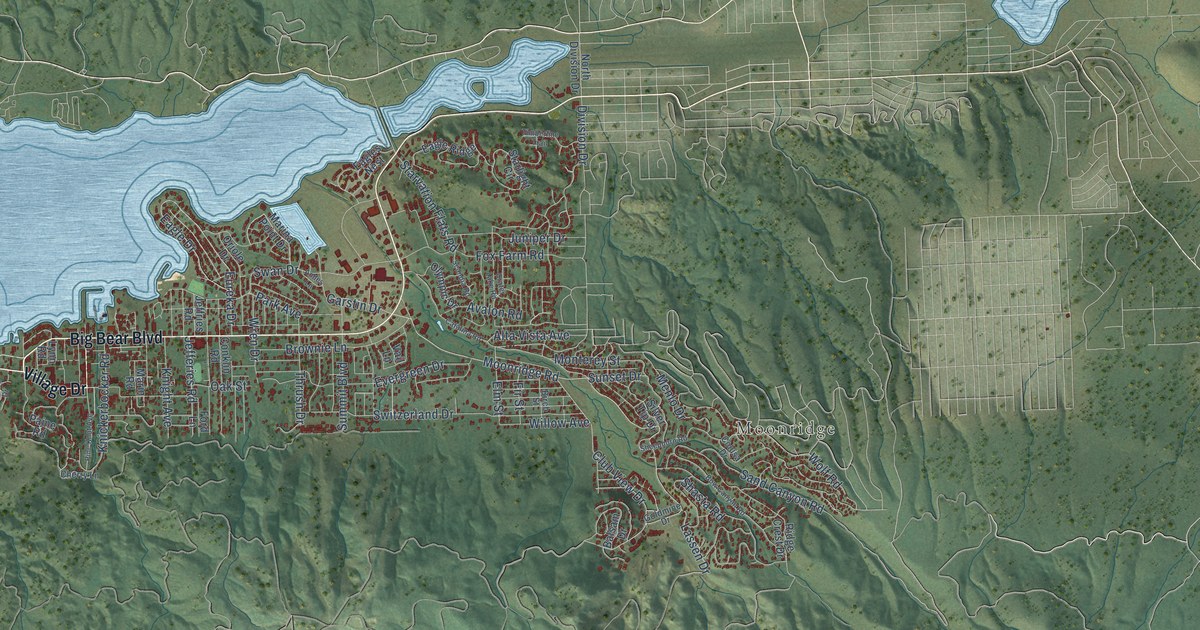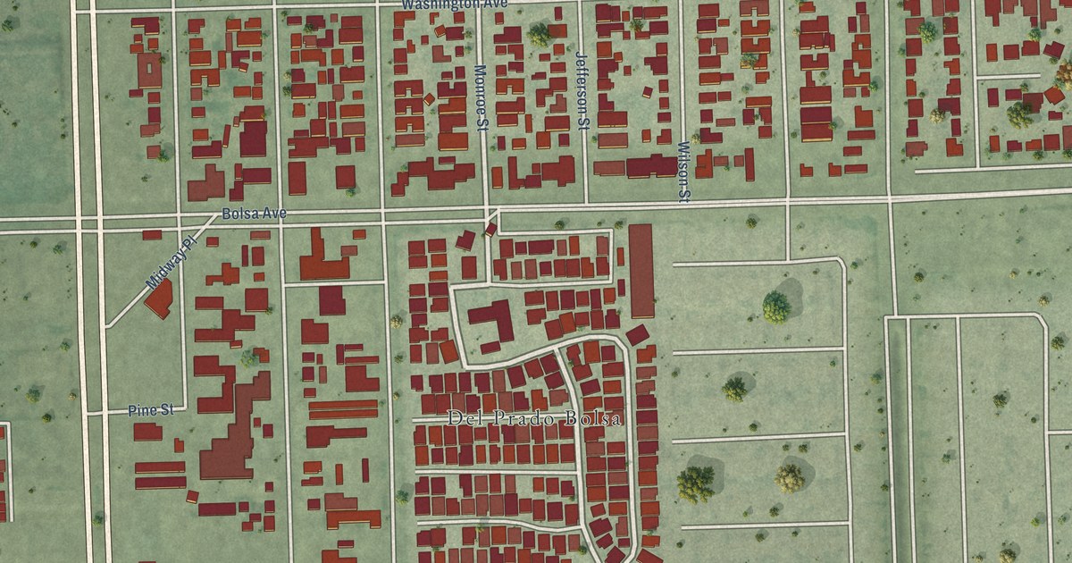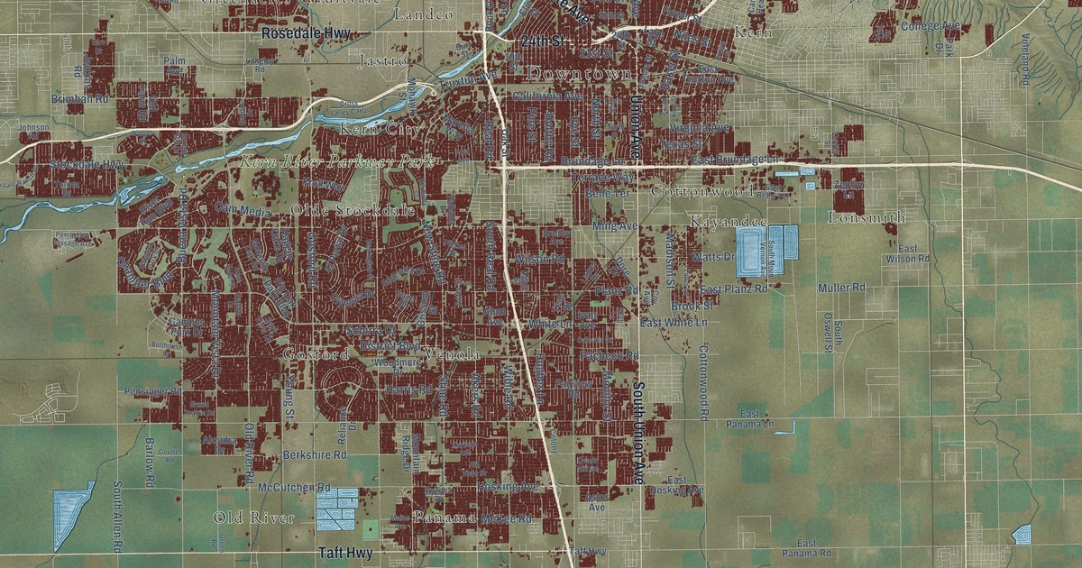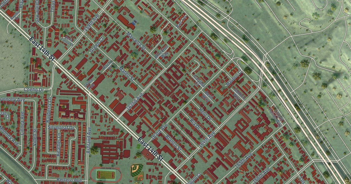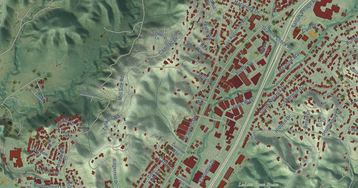
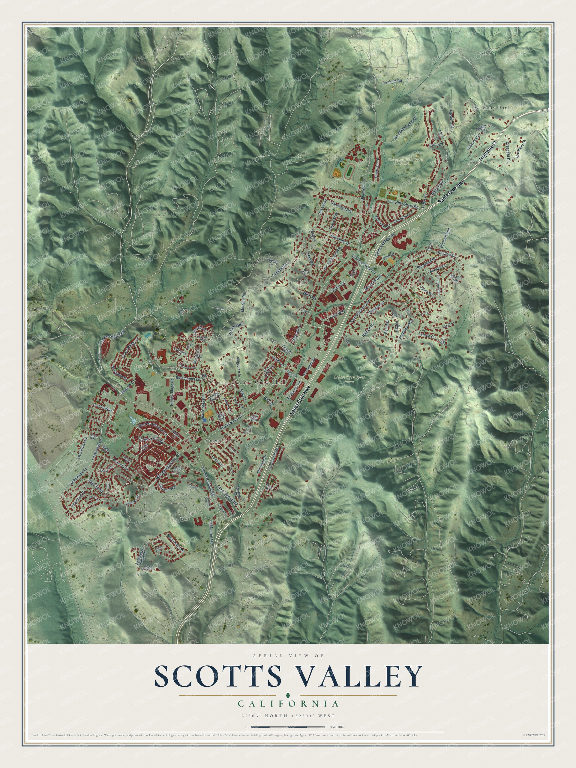
This beautifully detailed map of Scotts Valley, California was created in 2026 using aerial imagery combined with modern topographical, census, street and landmark data. It's a modern aerial view of Scotts Valley in Santa Cruz County, California, that combines modern data with a vintage aesthetic. The roads feature printed names, and if you look closely you can find your exact house accurately shown in its correct location.
Explore an aerial view of Scotts Valley, California
On this map you'll find Scotts Valley City Hall, Bethany Park, Camp Evers, Glenwood Open Space Preserve, Lodato Open Space Preserve, Skypark, Highway 17, Santa Cruz Highway, Southwood Drive, West Brookwood Drive, Navarra Drive, El Pueblo Road, and more. Each red shape is a building, so zoom in on the preview and look for yours.
Scotts Valley is a city in Santa Cruz County. The Census Bureau counted 12,224 people here in 2020. The map prints the town name in its title panel, with the coordinates below it.
Take a closer look at the Scotts Valley map
Names on this map
These names are printed on this map.
Places: Scotts Valley City Hall, Bethany Park, Camp Evers, Glenwood Open Space Preserve, Lodato Open Space Preserve and Skypark.
Streets and roads: Highway 17, Santa Cruz Highway, Southwood Drive, West Brookwood Drive, Navarra Drive, El Pueblo Road, Cadillac Drive, Spring Lakes Drive, Kings Village Road, Meadow Way, Gaston Circle, Scotts Valley Drive.
More street names, A to Z
Acorn Court, Alto Sol Court, Arabian Way, Azalea Trail, Baja Sol Court, Baja Sol Drive, Bean Creek Road, Belair Court, Belair Drive, Bethany Drive, Bethany Way, Blossom Way, Blueberry Drive, Bluebonnet Lane, Bourdeaux Lane, Burlwood Drive, Butler Lane, Canham Road, Carbonero Way, Casa Way, Cathy Lane, Christel Oaks Drive, Civic Center Drive, Club Drive, Coast Range Drive, Collado Drive, Country Lane, Crescent Court, Crescent Drive, Deerfield Drive, Dell Way, Disc Drive, Dunn Lane, Dunslee Way, El Camino Road, El Carlo Drive, El Pueblo Drive, El Sereno Drive, Elzer Drive, Erba Lane, Estrella Drive, Flora Lane, Frapwell Circle, Glen Canyon Road, Glenwood Drive, Grace Way, Granite Creek Road, Green Hills Road, Greenwood Street, Hacienda Drive, Hidden Drive, Hilltop Way, Janis Way, Johnston Way, Jolley Way, Kelly Way, Kerry Court, Kings Canyon Court, Kirkorion Court, Lakeview Drive, La Madrona Drive, Lauren Circle, Locke Way, Lockewood Lane, Lockhart Gulch Road, Lockwood Lane, Lucia Lane, Lucinda Street, Lunar Drive, Lundy Lane, Mill Site Road, Montevalle Drive, Mountain Valley Drive, Mount Hermon Road, Nashua Drive, Navigator Drive, Oak Creek Boulevard, Oak Lane, Old Mill Road, Orchard Run, Pinecone Drive, Ponderosa Road, Pulley Way, Redwood Way, Ridgecrest Drive, Saddleback Ridge Road, San Augustine Way, Sandraya Heights, Santas Village Road, Sawyer Circle, Sawyer Court, Shasta Park Court, Sherman Drive, Silverwood Drive, Skypark Drive, Sorrento Drive, South Navarra Drive, Sramek Lane, Sucinto Court, Sunridge Court, Sunridge Drive, Sunset Terrace, Suzanne Lane, Tabor Drive, Tabor Way, Tankers Road, Taryn Court, Terrace View Drive, Torrey Oaks Court, Traci Court, Twin Pines Drive, Upper Lockhart Gulch Road, Valley Vw, Victor Square, Viki Court, Vine Hill School Road, Warren Circle, Whispering Pines Drive, Willis Road, York Road, Zinfandel Circle.
Created by KNOWOL in 2026. The buildings are small red shapes, the roads carry their printed names, and shaded relief shows the shape of the land. The title panel reads "AERIAL VIEW OF SCOTTS VALLEY CALIFORNIA" with 37°03' NORTH 122°01' WEST.
It suits a den, a classroom or a front hall, and it makes a gift for anyone with Scotts Valley roots. Open the preview and find the block you know. See sizes and frames for the Scotts Valley map.