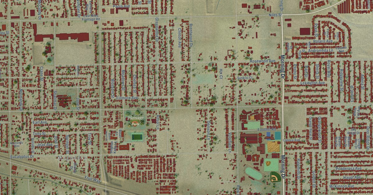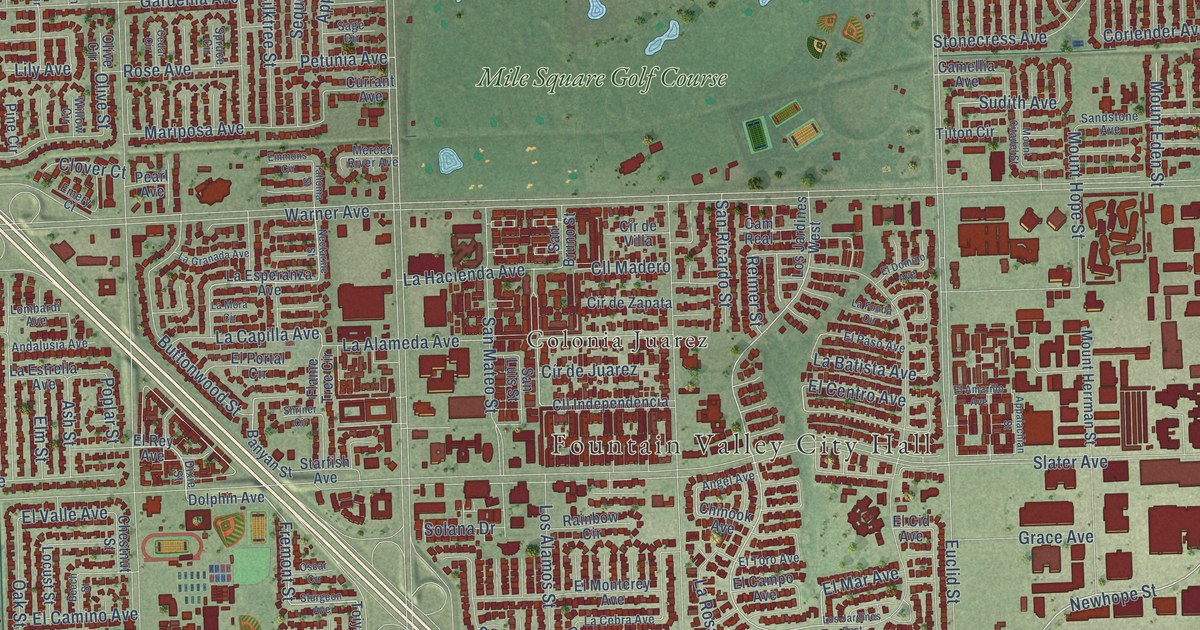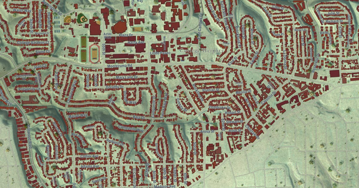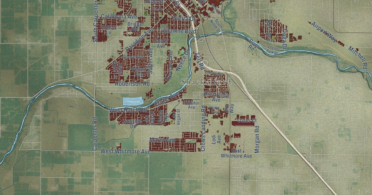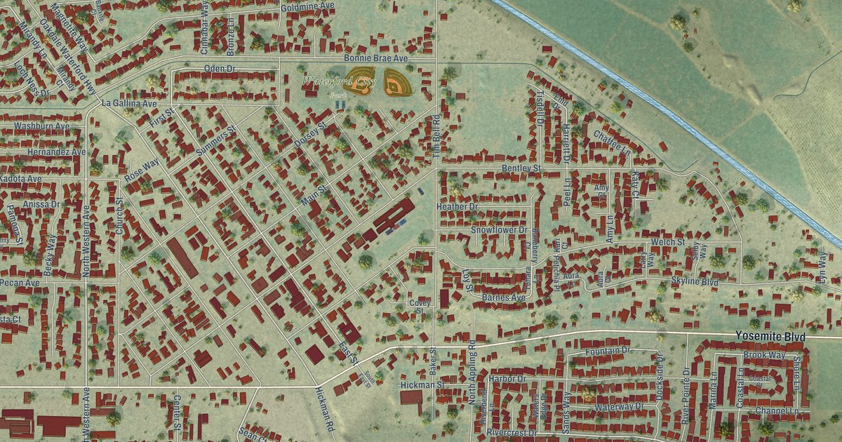
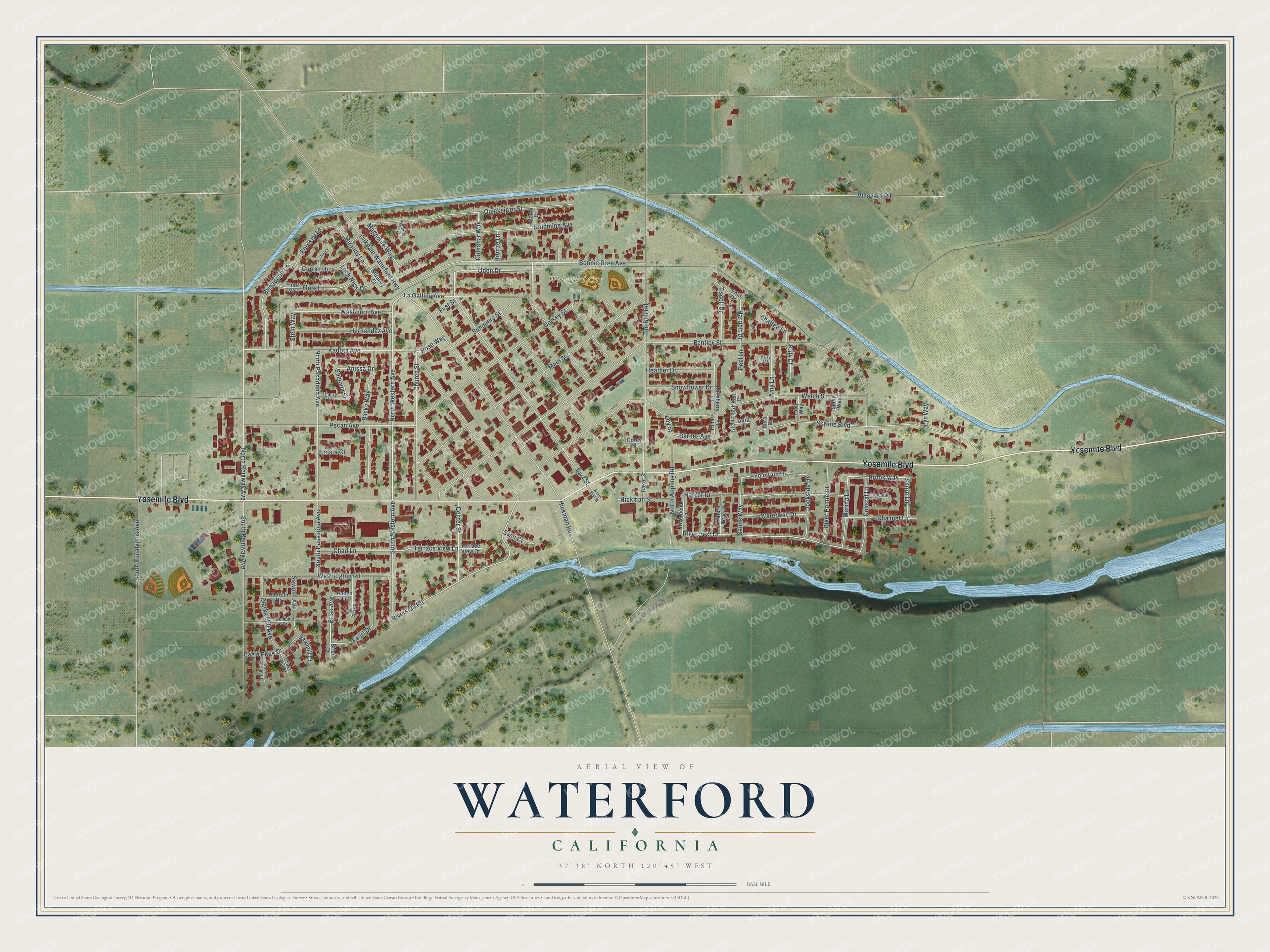
This beautifully detailed map of Waterford, California was created in 2026 using aerial imagery combined with modern topographical, census, street and landmark data. It's a modern aerial view of Waterford in Stanislaus County, California, that combines modern data with a vintage aesthetic. The roads feature printed names, and if you look closely you can find your exact house accurately shown in its correct location.
Explore an aerial view of Waterford, California
On this map you'll find Waterford City Park, Yosemite Boulevard, South Western Avenue, Brisk Avenue, North Western Avenue, Riverside Road, Rivercrest Drive, Mirandy Lane, Barnes Avenue, East Street, Terrace View Lane, Fountain Drive, and more. Each red shape is a building, so zoom in on the preview and look for yours.
Every town has a first chapter, and Waterford is no exception. The Stanislaus County History puts it this way: "Mr. Roen bought his first land in 1885, 640 acres two miles east of Waterford on the Tuolumne River ; and since then he has farmed to grain, wheat and barley, and raised cattle, horses and mules."
Waterford is a city in Stanislaus County. The Census Bureau counted 9,120 people here in 2020.
Take a closer look at the Waterford map
Names on this map
These names are printed on this map.
Places: Waterford City Park.
Streets and roads: Yosemite Boulevard, South Western Avenue, Brisk Avenue, North Western Avenue, Riverside Road, Rivercrest Drive, Mirandy Lane, Barnes Avenue, East Street, Terrace View Lane, Fountain Drive, Brook Way.
More street names, A to Z
Acosta Court, Amy Court, Amy Lane, Anissa Drive, Aura Court, Aura Lane, Baker Street, Baneberry Court, Bauxite Court, Becky Way, Bentley Street, Bonnie Brae Avenue, Borax Court, Brigadoon Lane, Brisk Court, Bronze Lane, Burns Creek Court, Center Street, Chad Lane, Chaffee Lane, Channel Lane, Cherry Drive, Church Street, Cinnabar Way, Clarks Mill Avenue, Clarks Mill Court, Coastal Court, Coastal Lane, Combine Drive, Covey Street, Curran Court, Curran Drive, Dockside Drive, Dorsey Street, Eagle Peak Drive, Enid Drive, Fearl Drive, First Street, Flora Lane, Flora Way, Forestal Lane, Goldmine Avenue, Harbor Drive, Harriett Drive, Heather Drive, Hernandez Avenue, Hickman Road, Hickman Street, Hildreth Drive, Kadota Avenue, Kari Court, Katy Court, La Gallina Avenue, Larry Way, Loch Ness Drive, Loy Street, Lyn Way, Magnetite Way, Main Street, Marina Lane, Mirandy Court, North Appling Road, North Pasadena Avenue, North Reinway Avenue, Oakdale Waterford Highway, Oden Drive, Paaga Lane, Pamona Street, Pecan Avenue, Peel Lane, Petichia Place, Quicksilver Street, Riverbend Lane, River Pointe Drive, Rose Way, Sands Way, Sawmill Avenue, Sawmill Court, Sean Court, Selby Way, Shore Lane, Skyline Boulevard, Snowflower Drive, Snow Spring Court, South East Street, South Eucalyptus Avenue, South Pasadena Avenue, South Reinway Avenue, Stein Way, Summers Street, Terrace View Court, Tim Bell Road, Tisdell Drive, Tohara Lane, Vineyard Road, Washburn Avenue, Washington Road, Waters Edge Drive, Waterway Drive, Welch Street.
Created by KNOWOL in 2026. The buildings are small red shapes, the roads carry their printed names, and shaded relief shows the shape of the land. The title panel reads "AERIAL VIEW OF WATERFORD CALIFORNIA" with 37°38' NORTH 120°45' WEST.
Hang it in the hallway, the office or the cabin, or give it to someone who left Waterford and still calls it home. Open the preview and look for a street you know. See sizes and frames for the Waterford map.