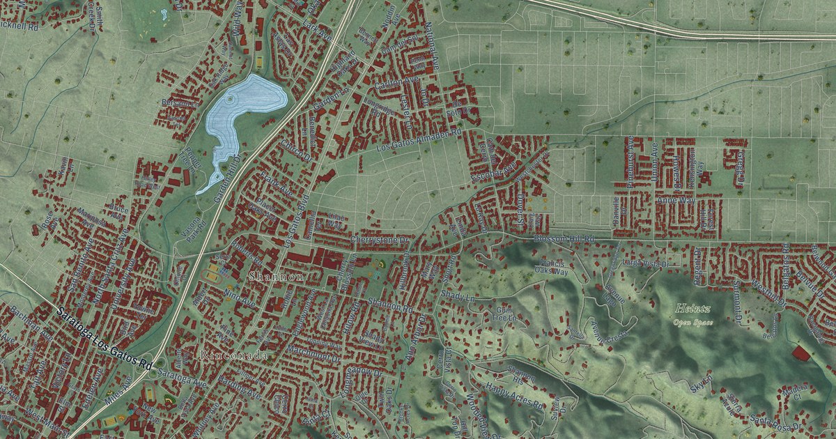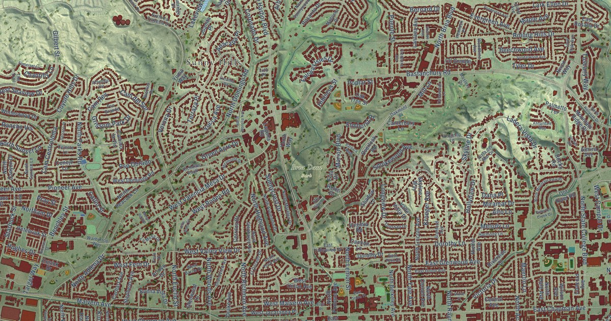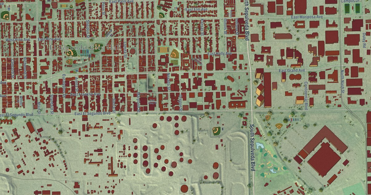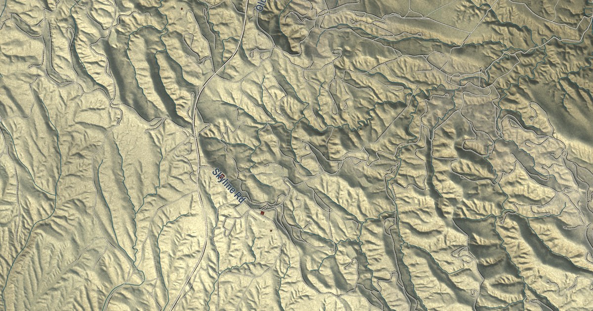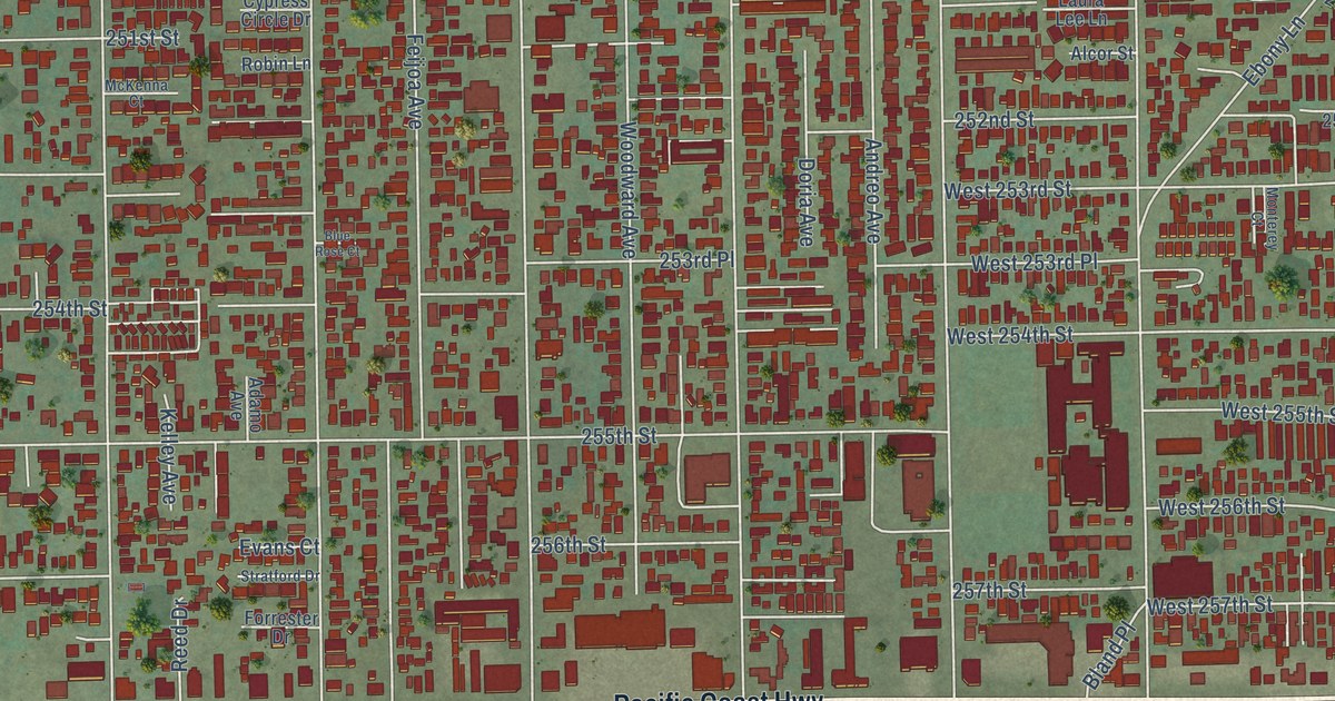
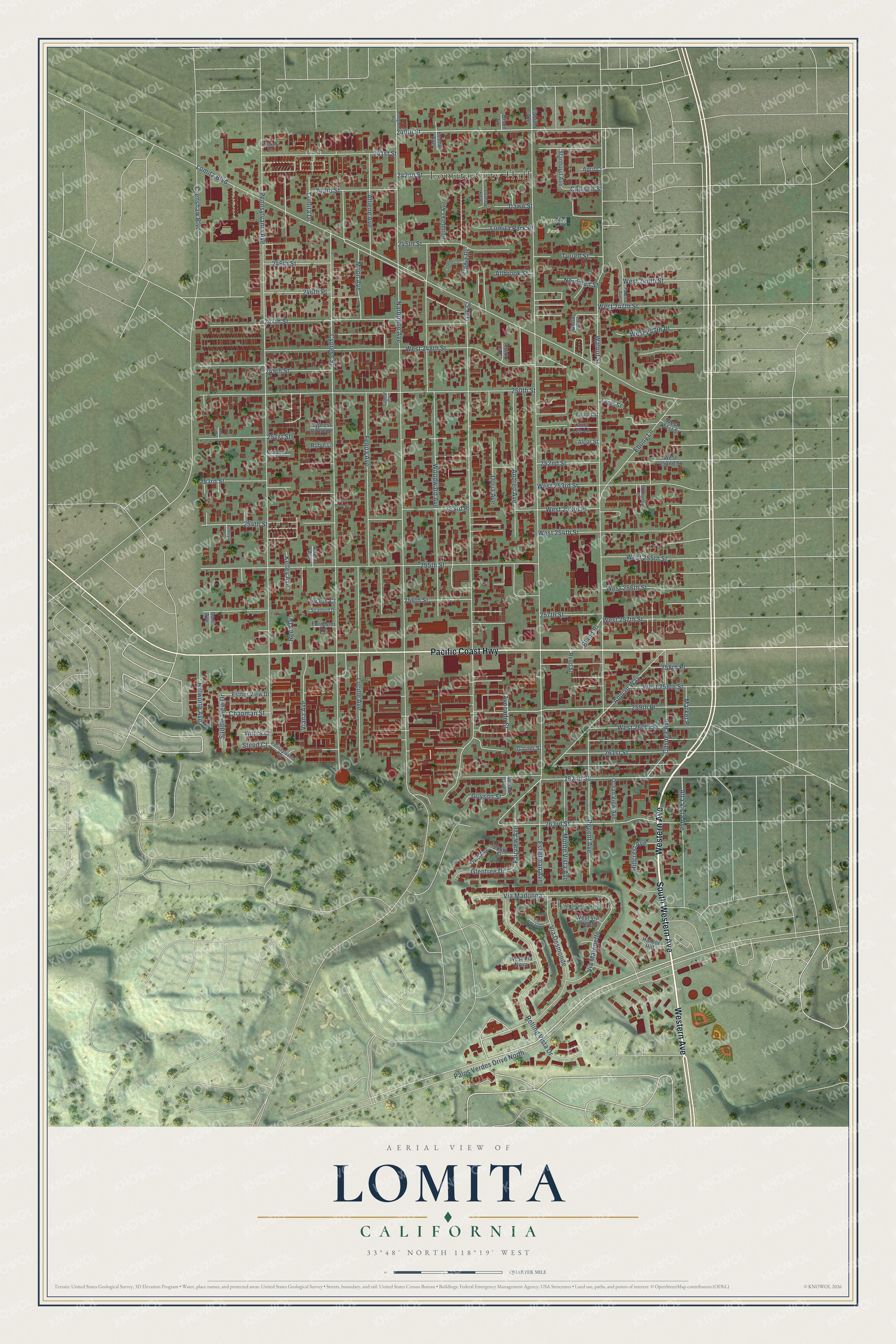
This beautifully detailed map of Lomita, California was created in 2026 using aerial imagery combined with modern topographical, census, street and landmark data. It's a modern aerial view of Lomita in Los Angeles County, California, that combines modern data with a vintage aesthetic. The roads feature printed names, and if you look closely you can find your exact house accurately shown in its correct location.
Explore an aerial view of Lomita, California
On this map you'll find Lomita City Hall, Harbor Hills, Lomita Park, South Western Avenue, Western Avenue, Pacific Coast Highway, 240th Street, Alta Vista Avenue, 262nd Street, Appian Way, 263rd Street, 259th Place, and more. Each red shape is a building, so zoom in on the preview and look for yours.
Lomita is a city in Los Angeles County. The Census Bureau counted 20,921 people here in 2020. The map prints the town name in its title panel, with the coordinates below it.
Take a closer look at the Lomita map
Names on this map
These names are printed on this map.
Places: Lomita City Hall, Harbor Hills and Lomita Park.
Streets and roads: South Western Avenue, Western Avenue, Pacific Coast Highway, 240th Street, Alta Vista Avenue, 262nd Street, Appian Way, 263rd Street, 259th Place, Eshelman Avenue, Narbonne Avenue, Pennsylvania Avenue.
More street names, A to Z
241st Street, 242nd Street, 243rd Street, 245th Street, 246th Place, 246th Street, 247th Street, 249th Street, 250th Street, 251st Street, 252nd Street, 253rd Place, 253rd Street, 254th Street, 255th Street, 256th Street, 257th Street, 258th Place, 261st Street, 264th Street, Abita Avenue, Adamo Avenue, Adona Drive, Alcor Street, Allbrook Street, Alliene Avenue, Andreo Avenue, April Court, Arlington Avenue, Aubrey Lane, Avocado Street, Bani Avenue, Benhill Avenue, Bland Place, Blue Rose Court, Cabrillo Avenue, Cadiz Drive, Callison Street, Cayuga Avenue, Chapman Street, Comal Court, Crenshaw Boulevard, Cypress Circle Drive, Cypress Street, Dawn Street, Doria Avenue, Ebony Lane, Eleanor Street, Esther View Drive, Evans Court, Fairview Avenue, Falena Avenue, Feijoa Avenue, Forrester Drive, Garner Street, Glentree Drive, Guyson Street, Harbor Hill, Hendricks Avenue, Hillcrest Avenue, Hillview Lane, Hillworth Avenue, Kelley Avenue, Laura Lee Lane, Leola Street, Lomita Boulevard, Lomita Drive, Lomita Park Place, Lucille Avenue, Market Place, McKenna Court, Monterey Court, Monte Vista Avenue, Moon Avenue, Murad Avenue, Neko Drive, Nordman Street, Oak Street, Ocean View Avenue, Olson Lane, Ovid Avenue, Palos Verdes Drive North, Park Haven Lane, Pennsylvania Drive, Reed Drive, Reed Street, Regent Avenue, Robin Lane, Rolling Vista Drive, Saddle View Drive, Stanhurst Avenue, Steed Court, Stratford Drive, Turrell Street, Via Desmonde, Via Encanto, Via Kostas, Via Madonna, Via Marquette, Viana Avenue, Walnut Street, West 246th Street, West 247th Place, West 247th Street, West 248th Street, West 251st Street, West 252nd Street, West 253rd Place, West 253rd Street, West 254th Street, West 255th Street, West 256th Street, West 257th Street, West 259th Street, West 260th Street, West Via Nova, West Via Solano, Wittick Court, Woodward Avenue.
Created by KNOWOL in 2026. The buildings are small red shapes, the roads carry their printed names, and shaded relief shows the shape of the land. The title panel reads "AERIAL VIEW OF LOMITA CALIFORNIA" with 33°48' NORTH 118°19' WEST.
It suits a den, a classroom or a front hall, and it makes a gift for anyone with Lomita roots. Open the preview and find the block you know. See sizes and frames for the Lomita map.