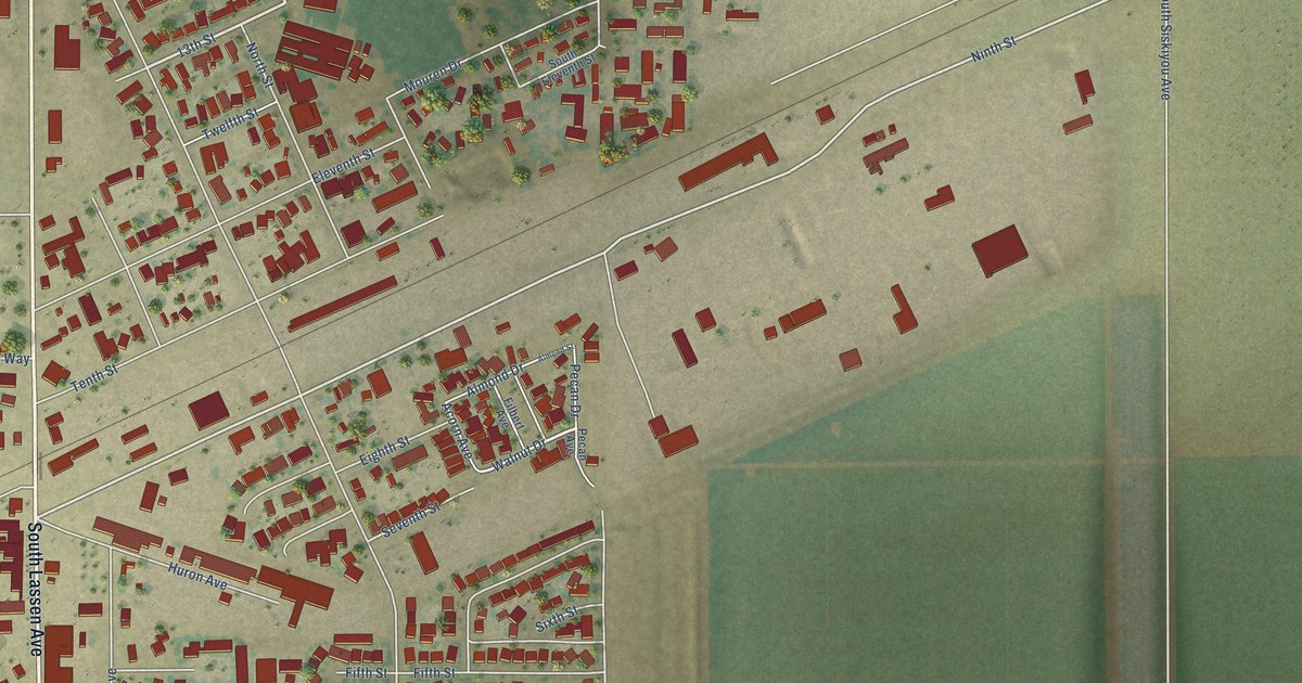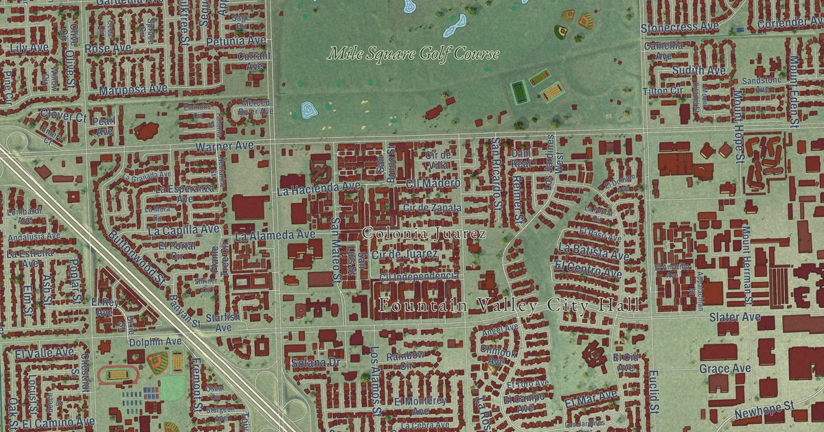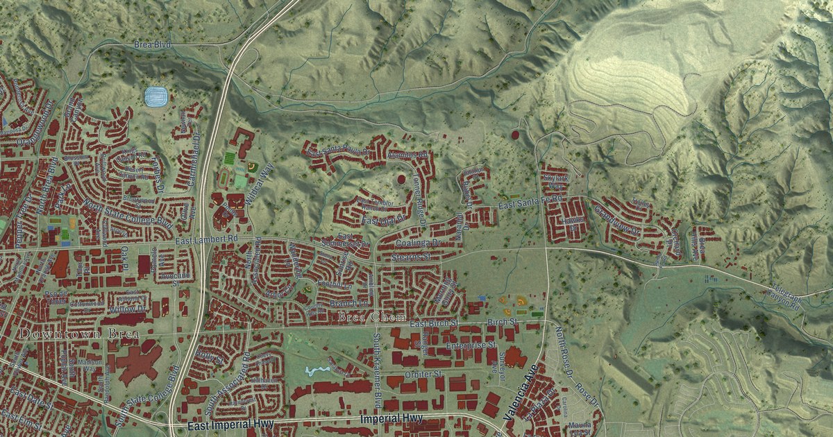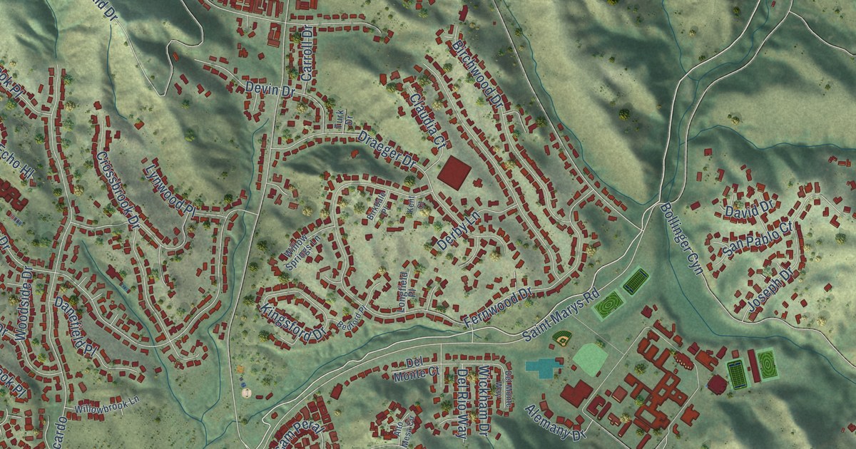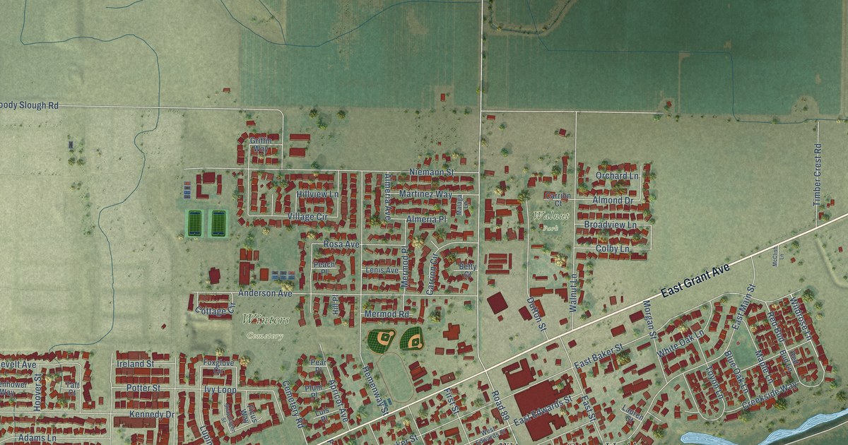
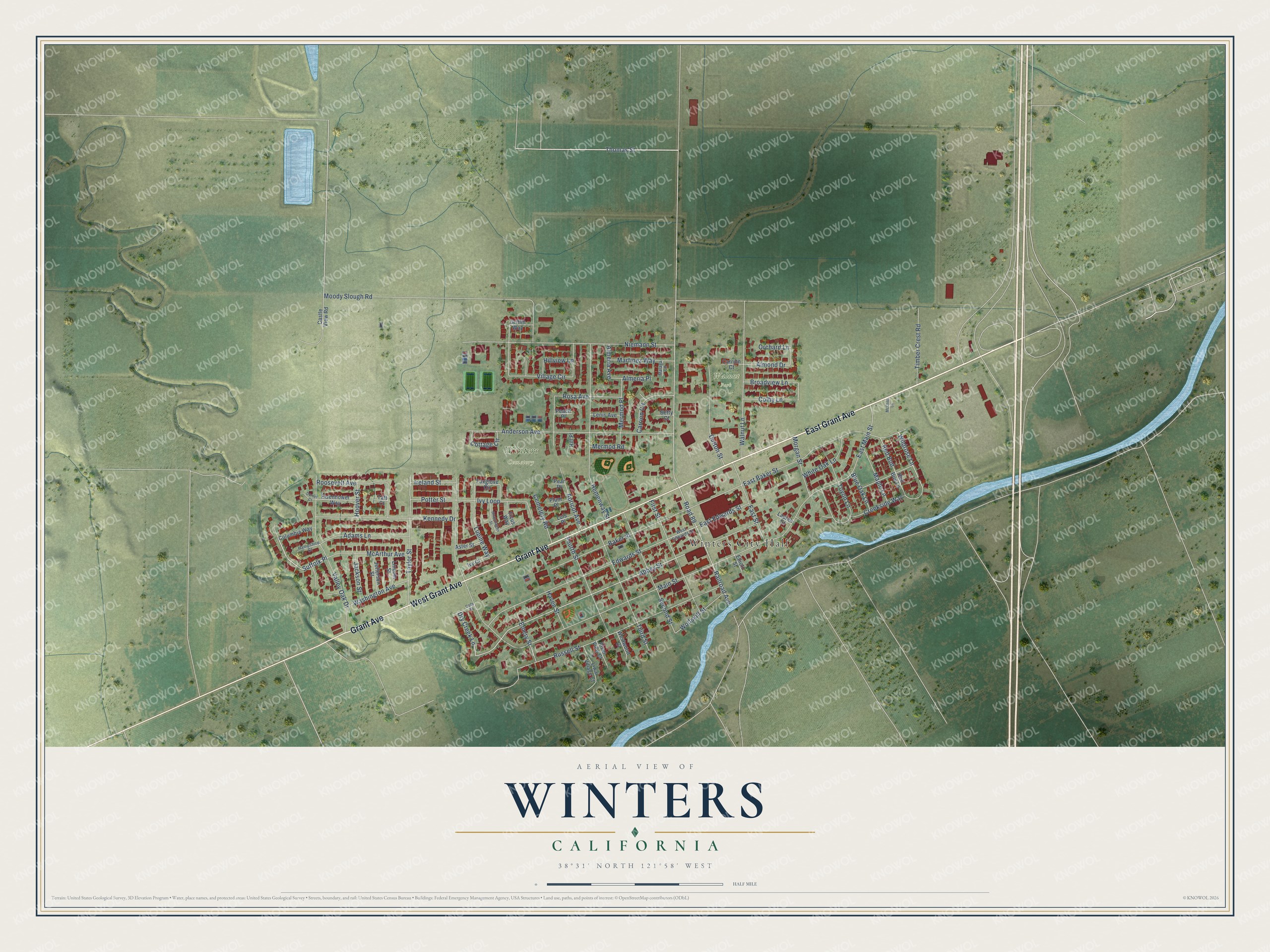
This beautifully detailed map of Winters, California was created in 2026 using aerial imagery combined with modern topographical, census, street and landmark data. It's a modern aerial view of Winters in Yolo County, California, that combines modern data with a vintage aesthetic. The roads feature printed names, and if you look closely you can find your exact house accurately shown in its correct location.
Explore an aerial view of Winters, California
On this map you'll find Winters City Hall, Winters Cemetery, Walnut Park, East Grant Avenue, Grant Avenue, West Grant Avenue, Moody Slough Road, Thomas Street, Suffolk Place, Abbey Street, Wildrose Lane, Morgan Street, and more. Each red shape is a building, so zoom in on the preview and look for yours.
Every town has a first chapter, and Winters is no exception. The National Register of Historic Places puts it this way: "The prune and apricot growers were
organized in 1916: and the Winters Dried Fruit Company handled the operation
for the Association."
Winters is a city in Yolo County. The Census Bureau counted 7,115 people here in 2020.
Take a closer look at the Winters map
Names on this map
These names are printed on this map.
Places: Winters City Hall, Winters Cemetery and Walnut Park.
Streets and roads: East Grant Avenue, Grant Avenue, West Grant Avenue, Moody Slough Road, Thomas Street, Suffolk Place, Abbey Street, Wildrose Lane, Morgan Street, Railroad Avenue, Road 89, Main Street.
More street names, A to Z
Adams Lane, Almeria Avenue, Almeria Place, Almond Drive, Anderson Avenue, Apricot Avenue, Aster Street, Baker Street, Betty Court, Blue Oak Lane, Broadview Lane, Carrion Circle, Carrion Court, Castle View Road, Cemetery Road, Cody Street, Colby Lane, Columbia Way, Cottage Circle, Creekside Way, Dorset Court, Dry Creek Lane, Dutton Street, East Baker Street, East Edwards Street, East Main Street, East Street, Edwards Street, Eisenhower Way, Elliott Street, Emery Street, Ficus Way, First Street, Fourth Street, Foxglove Circle, Griffin Way, Hampshire Court, Haven Street, Hemenway Street, Hill Place, Hillview Lane, Hoover Street, Ireland Street, Ivy Court, Ivy Loop, Jackson Street, Jefferson Street, Kennedy Drive, Lauren Court, Lenis Avenue, Lincoln Street, Liwai Village Court, Luis Place, Lupine Way, Malaga Lane, Maple Lane, Martinez Way, McArthur Avenue, McClish Lane, Mermod Place, Mermod Road, Niemann Street, Orchard Lane, Peach Place, Pear Place, Plum Place, Potter Street, Red Bud, Red Bud Lane, River View Court, Roosevelt Avenue, Rosa Avenue, Russell Street, Second Street, Snapdragon Street, Taft Court, Taylor Street, Third Street, Timber Crest Road, Toyon Lane, Valley Oak Drive, Village Circle, Walnut Lane, Washington Avenue, West Edwards Street, Westwood Court, White Oak Lane, Wolfskill Street.
Created by KNOWOL in 2026. The buildings are small red shapes, the roads carry their printed names, and shaded relief shows the shape of the land. The title panel reads "AERIAL VIEW OF WINTERS CALIFORNIA" with 38°31' NORTH 121°58' WEST.
Hang it in the hallway, the office or the cabin, or give it to someone who left Winters and still calls it home. Open the preview and look for a street you know. See sizes and frames for the Winters map.