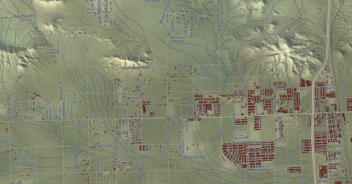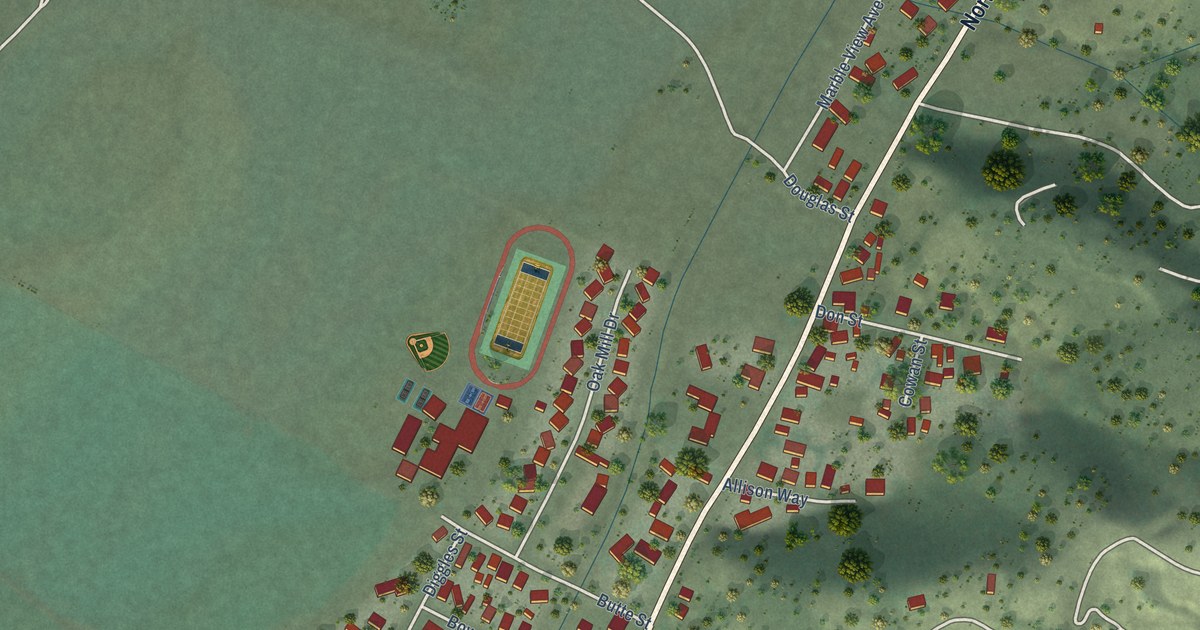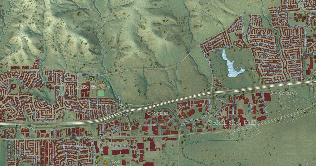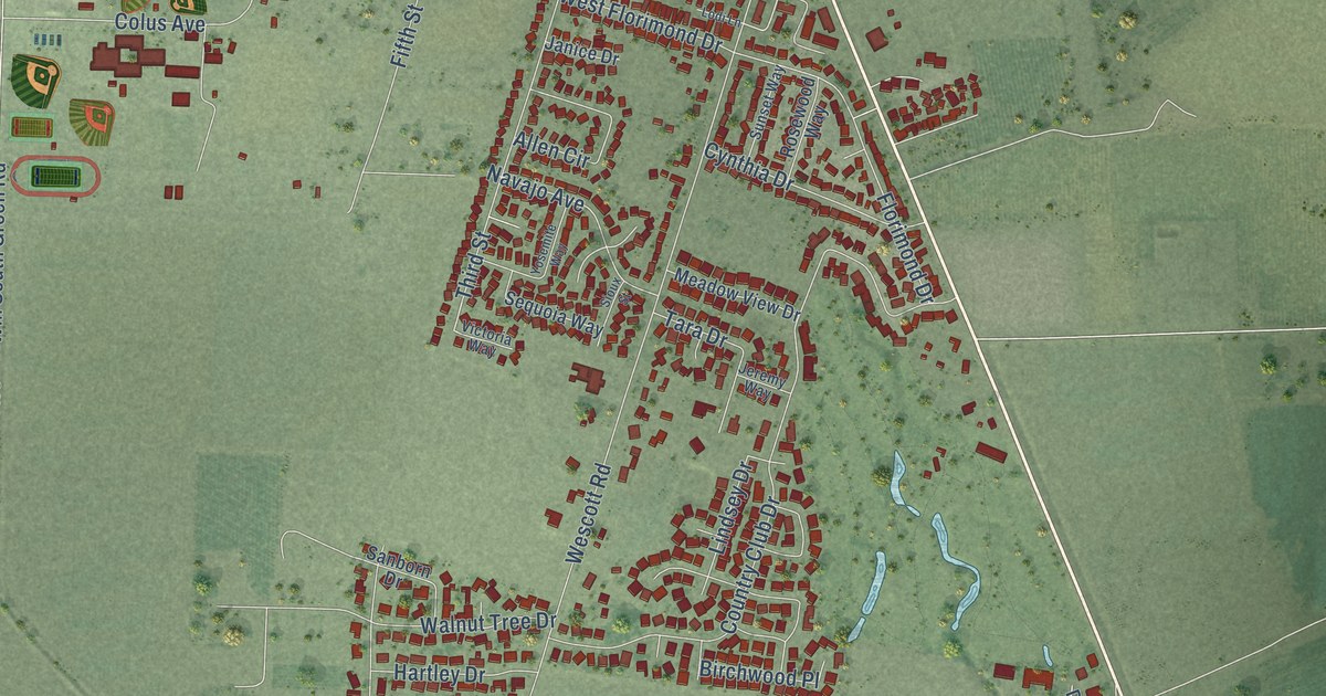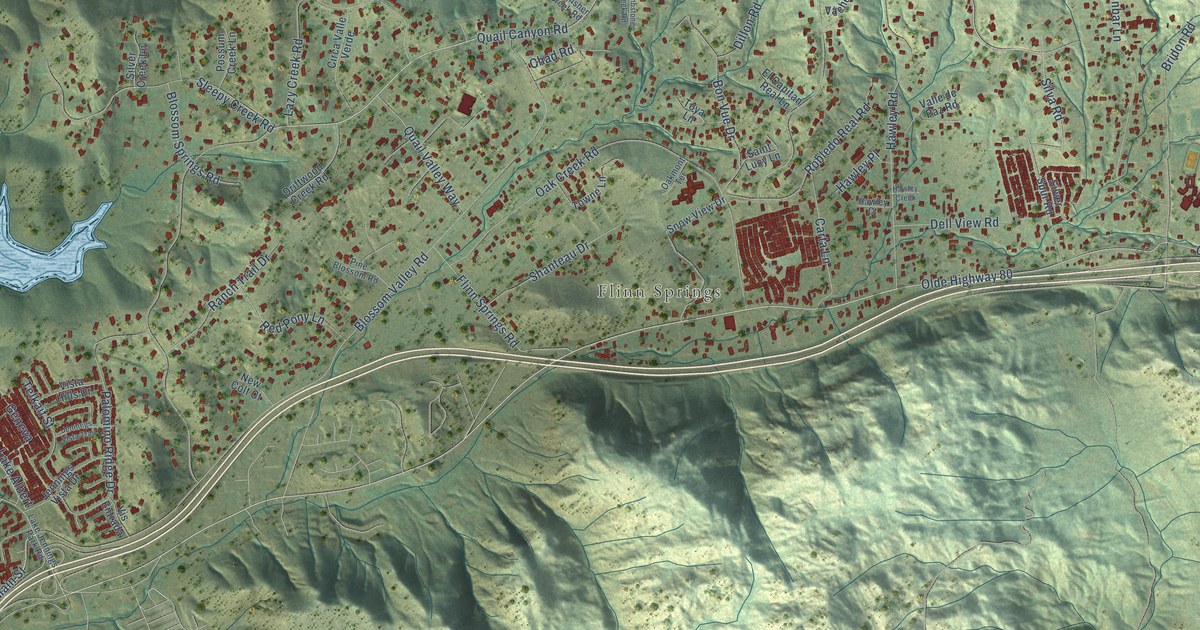
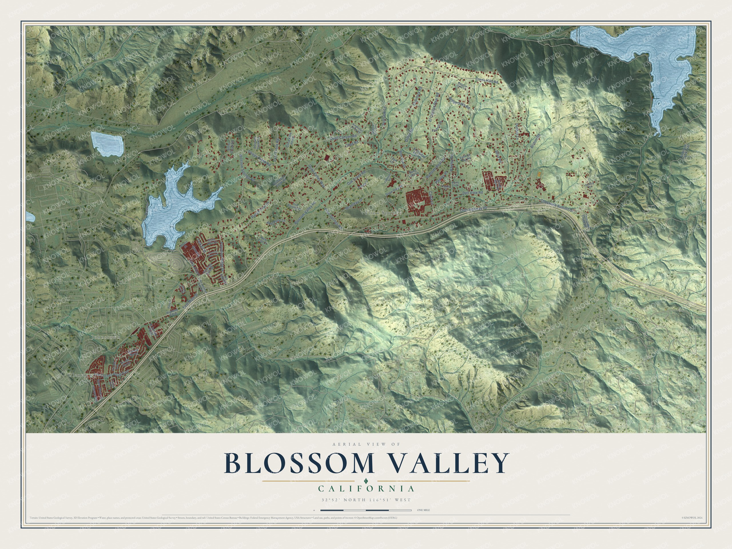
This beautifully detailed map of Blossom Valley, California was created in 2026 using aerial imagery combined with modern topographical, census, street and landmark data. It’s a one-of-a-kind view of Blossom Valley that combines accurate data with a vintage aesthetic. The map shows every building in its true location, many of the roads carry their names, and the shaded topographic relief shows the shape of the land.
Explore an aerial view of Blossom Valley, California
On the map you’ll find Johnstown, Flinn Springs, Glenview, and Geneva, along with Quail Canyon Road, Olde Highway 80, Broad Oaks Road, East Main Street, Silva Road, Blossom Valley Road, Hawley Road, Oak Creek Road, and more. If you look closely you can even find your house accurately drawn in its correct location. Zoom in on the preview to look for yours.
Take a closer look at the Blossom Valley map
Names on this map
These names are printed on this map.
Places: Johnstown, Flinn Springs and Glenview.
Streets and roads: Quail Canyon Road, Olde Highway 80, Broad Oaks Road, Geneva, East Main Street, Silva Road, Blossom Valley Road, Hawley Road, Oak Creek Road, Creek Hills Road, Chocolate Summit Drive, El Capitan Real Road.
More street names, A to Z
Albert Street, Anderson Truck Trail, Avenue Marco, Bass Drive, Blossom Springs Road, Bon Vue Drive, Bridon Road, Calleja Risa, Carta Lane, Chad Road, Chocolate Creek Road, Circa Valle Verde, Dell View Road, Del Vista Way, Dillon Road, Driftwood Creek Road, Dunbar Lane, El Capitan Real Lane, El Dorado Parkway, Espinoza Road, Flinn Springs Road, Hawley Court, Hawley Creek, Hawley Place, Highway 8 Bus, Jennings Vista Drive, Jennings Vista Trail, Kingfisher Creek Road, Lake Albert, Lake Jennings Park Road, Lazy Creek Road, Los Coches Road East, Meadow Oaks Lane, New Colt Court, Oakmont Terrace, Palomino Ridge Drive, Pine Blossom Road, Pinkard Lane, Possum Creek Lane, Post Oak Lane, Quail Valley Way, Ranch Trail Drive, Red Pony Lane, Robledo Real Road, Saint Lucy Lane, Shanteau Drive, Silver Creek Lane, Silver Spur Road, Sleepy Creek Road, Sleepy Way, Snow View Drive, Snow White Drive, Telkaif Street, Tiffany Park Place, Tombstone Creek Road, Towne Lane, Toya Lane, Vachell Lane, Valle de Paz Road, Via del Luz, Vis del Verde, Vis Entrada, Vista Hills Drive.
See it on a wall
The Blossom Valley map as a framed print. Swipe for more.


This beautifully detailed map of Blossom Valley makes an attractive addition to your office, library, or den, and it can even be used to teach children the geography and history of the area. It also makes a great gift for anyone with Blossom Valley roots. When you’re done exploring, click here to get your copy of the Blossom Valley map.