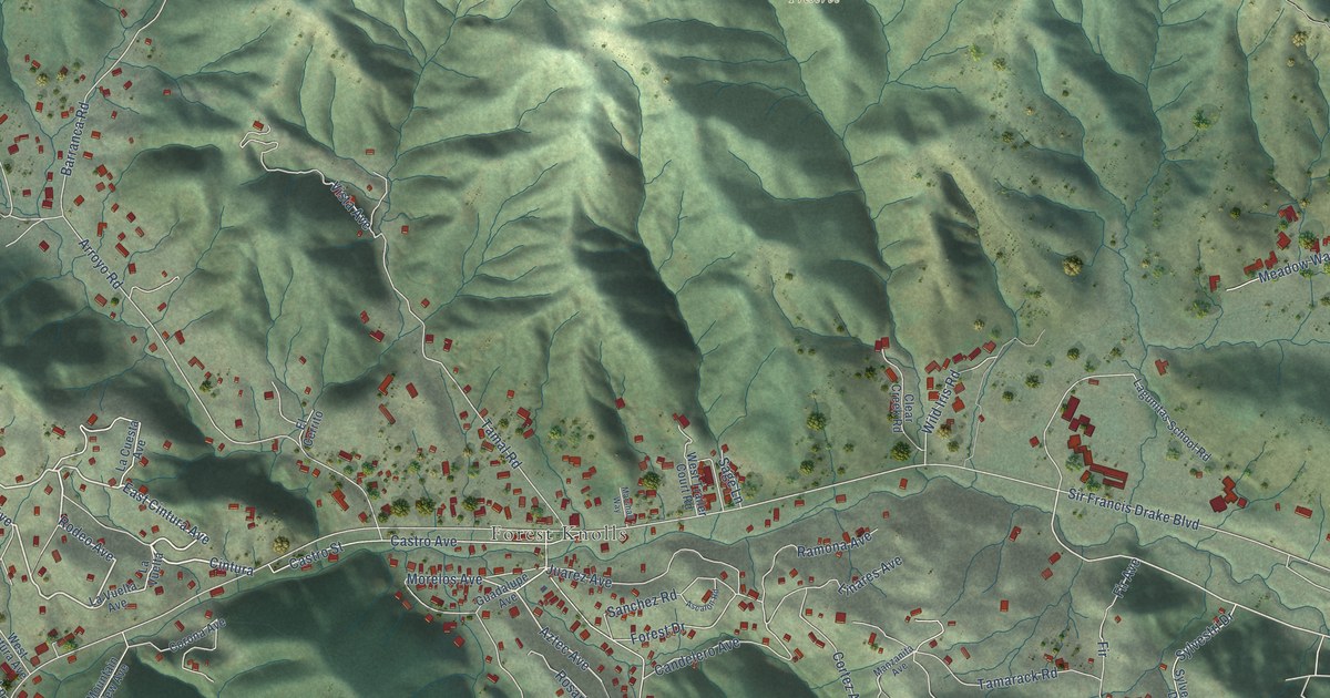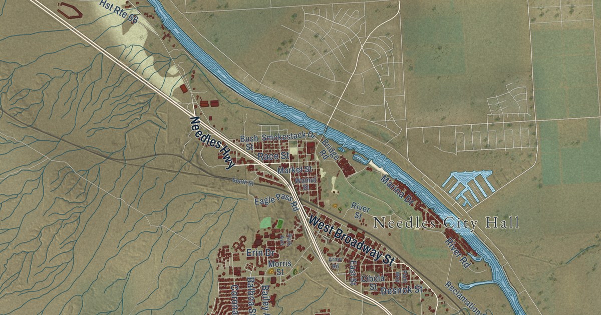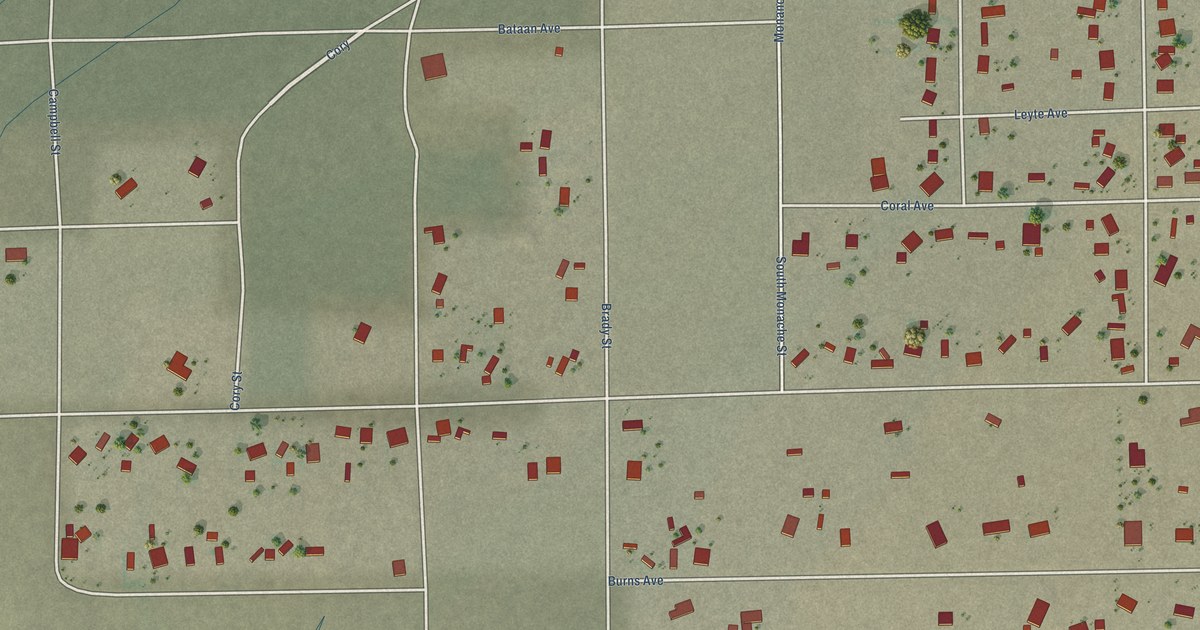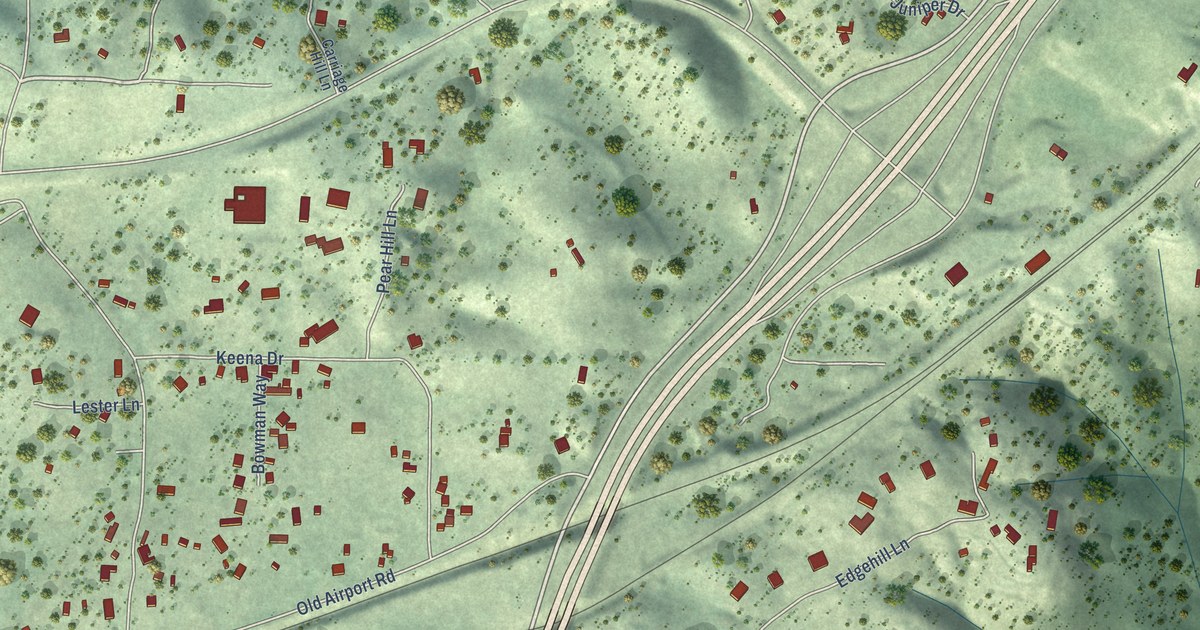
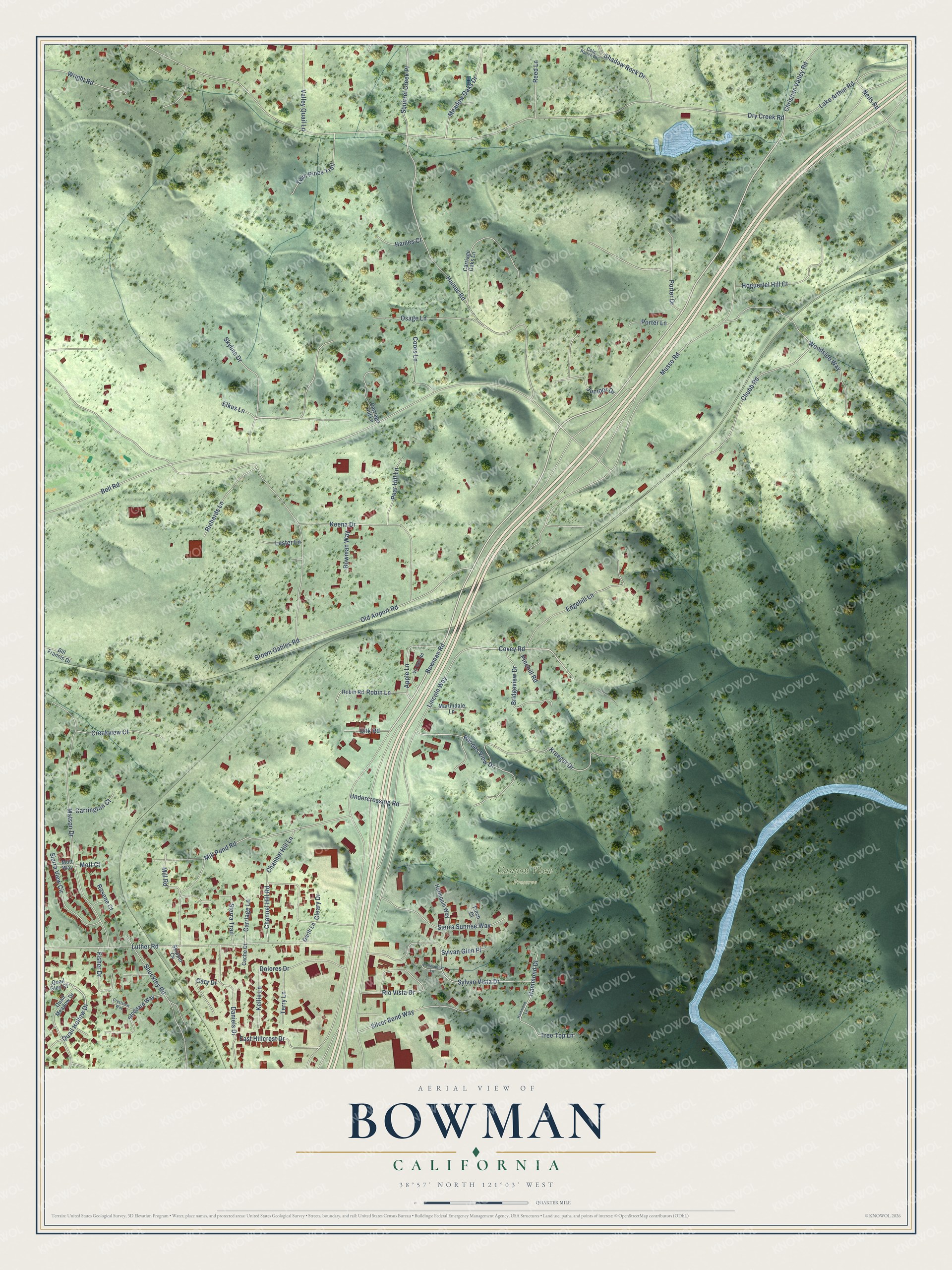
This beautifully detailed map of Bowman, California was created in 2026 using aerial imagery combined with modern topographical, census, street and landmark data. It’s a one-of-a-kind view of Bowman that combines accurate data with a vintage aesthetic. The map shows every building in its true location, many of the roads carry their names, and the shaded topographic relief shows the shape of the land.
Explore an aerial view of Bowman, California
On the map you’ll find Canyon View Preserve, along with Bowman Road, Skyline Drive, Luther Road, Quail Hollow Drive, Covey Road, Old Airport Road, Dry Creek Road, Bell Road, Lincoln Way, Musso Road, Haines Road, and more. If you look closely you can even find your house accurately drawn in its correct location. Zoom in on the preview to look for yours.
Did You Know?
From Internet Archive: "However, out of the two came one church, Bowman as it was first called, and Webster Street as it is now called."
Bowman is a community in Placer County.
Take a closer look at the Bowman map
Names on this map
These names are printed on this map.
Places: Canyon View Preserve.
Streets and roads: Bowman Road, Skyline Drive, Luther Road, Quail Hollow Drive, Covey Road, Old Airport Road, Dry Creek Road, Bell Road, Lincoln Way, Musso Road, Haines Road, Chubb Road.
More street names, A to Z
Apple Lane, Bill Francis Drive, Bowman Way, Bridgeview Drive, Brown Gables Road, Cache Court, Carriage Hill Lane, Carriage Lane, Carriage Oaks Lane, Carrington Court, Cary Drive, Channel Hill Lane, Channel Hill Road, Christian Valley Road, Cleary Drive, Cole Ranch Road, Coors Lane, Creekview Court, Crestview Way, Daniels Drive, Dolores Drive, East Hillcrest Drive, Edgehill Lane, Elkus Lane, Finch Court, Fisher Drive, Garth Lane, Haines Court, Hammond Drive, Hammond Lane, Harlequin Way, Hoguertel Hill Court, Hollenbeck Lane, Juniper Drive, Keena Drive, Kellie Lane, Krueger Drive, Lake Arthur Road, Lester Lane, Martindale Lane, Matson Drive, Meadow Oaks Drive, Mill Pond Road, Mill Road, Mott Court, Mott Way, Neils Road, Osage Lane, Pear Hill Lane, Pinehill Road, Porter Drive, Porter Lane, Quail Glen Court, Quail Meadow Drive, Reed Lane, Rhodes View Drive, Richards Lane, Rio Vista Drive, Robin Lane, Robin Road, Rosene Court, Shadow Rock Drive, Shockley Road, Sierra Sunrise Way, Sierra Trail, Sierra View Circle, Silver Bend Way, Skipper Cv, Squirrel Creek Place, Stoddard Way, Sylvan Glen Place, Sylvan Vista Drive, Terry Lane, Tree Top Lane, Twin Pines Trail, Undercrossing Road, Unk Road, Valley Quail Lane, Via Bell Road, Woodside Way, Wright Road.
See it on a wall
The Bowman map as a framed print. Swipe for more.


This beautifully detailed map of Bowman makes an attractive addition to your office, library, or den, and it can even be used to teach children the geography and history of the area. It also makes a great gift for anyone with Bowman roots. When you’re done exploring, click here to get your copy of the Bowman map.