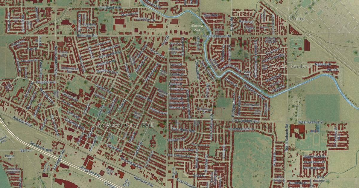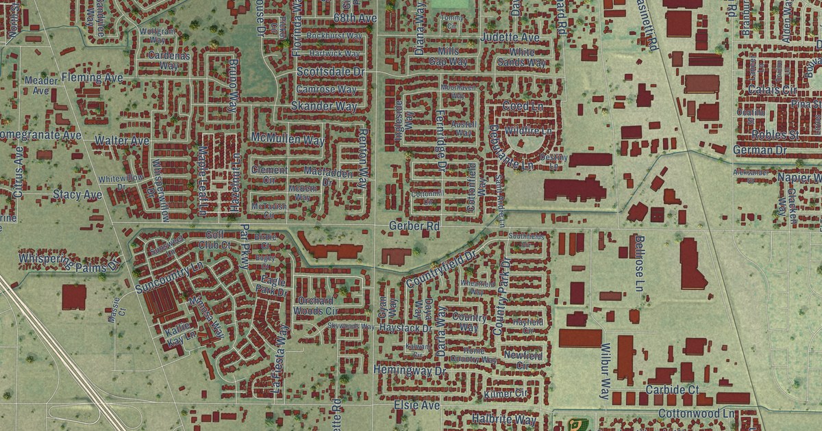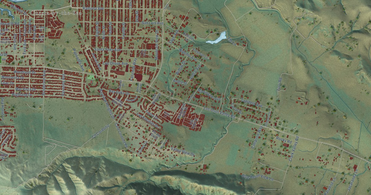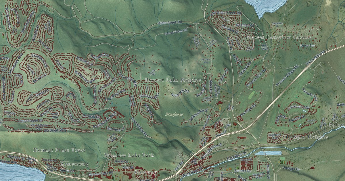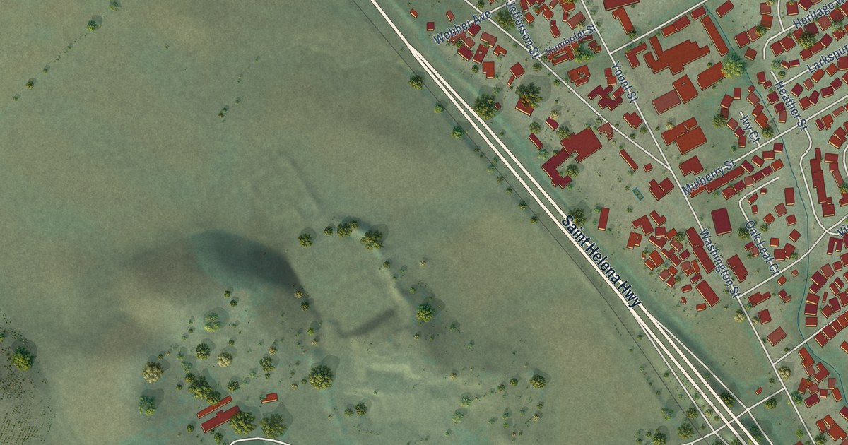
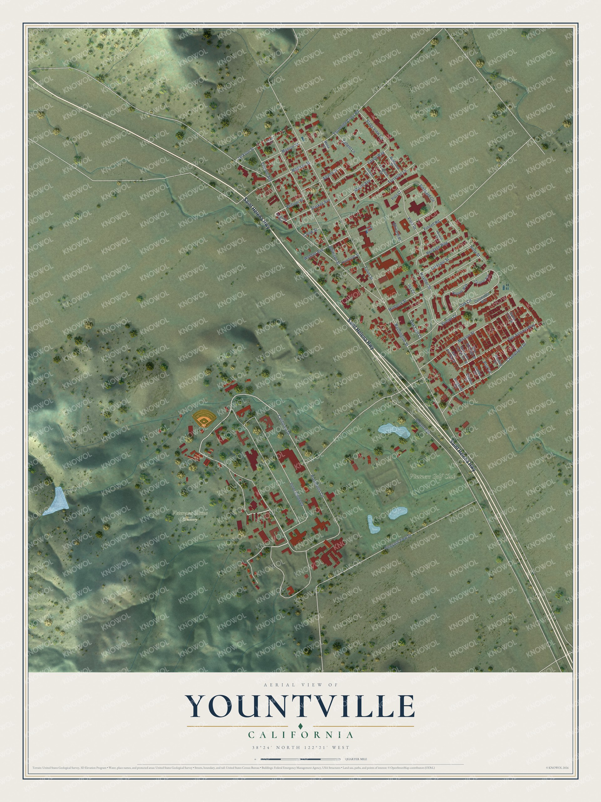
This beautifully detailed map of Yountville, California was created in 2026 using aerial imagery combined with modern topographical, census, street and landmark data. It's a modern aerial view of Yountville in Napa County, California, that combines modern data with a vintage aesthetic. The roads feature printed names, and if you look closely you can find your exact house accurately shown in its correct location.
Explore an aerial view of Yountville, California
On this map you'll find Veterans Home Cemetery, Vintners Golf Club, Saint Helena Highway, Presidents Circle, San Antonio Way, Washington Street, California Drive, Yount Street, Oak Circle, Vineyard View Drive, Jefferson Street, Inner Alemeda, and more. Each red shape is a building, so zoom in on the preview and look for yours.
Here is a piece of Yountville history, in the words of the record. The National Register of Historic Places puts it this way: "The only
other stone structure known to have been built by Clark in Yountville,
the Rock Villa, a saloon of the same fieldstone and frame construction,
no longer exists."
Yountville is a town in Napa County. The Census Bureau counted 3,436 people here in 2020.
Take a closer look at the Yountville map
Names on this map
These names are printed on this map.
Places: Veterans Home Cemetery and Vintners Golf Club.
Streets and roads: Saint Helena Highway, Presidents Circle, San Antonio Way, Washington Street, California Drive, Yount Street, Oak Circle, Vineyard View Drive, Jefferson Street, Inner Alemeda, Mission Street, Solano Avenue.
More street names, A to Z
Adams Street, Burgandy Circle, Burgundy Way, Carignan Way, Chablis Circle, Champagne Drive, Colombard Way, Creek Street, Finnell Road, Forrester Lane, Foxglove Lane, Gamay Circle, Ghirardi Place, Grant Lane, Harvest Court, Heather Street, Heritage Way, Holly Street, Hopper Way, Humboldt Street, Ivy Court, Jackson Street, Jasmine Street, Lande Way, Larkspur Street, Lincoln Avenue, Madison Street, Mesa Court, Monroe Street, Mount Avenue, Mulberry Street, Oak Leaf Court, Pedroni Street, Port Circle, Redwood Drive, Riesling Circle, San Antonio Street, San Domingo Street, San Juan Capistrano Street, Santa Cruz Street, Stags View Lane, Starkey Avenue, Tallent Lane, Vineyard Circle, Vintner Court, Vista Court, Vista Drive, Webber Avenue, Yountville Cross Road.
Created by KNOWOL in 2026. The buildings are small red shapes, the roads carry their printed names, and shaded relief shows the shape of the land. The title panel reads "AERIAL VIEW OF YOUNTVILLE CALIFORNIA" with 38°24' NORTH 122°21' WEST.
It suits a den, a classroom or a front hall, and it makes a gift for anyone with Yountville roots. Open the preview and find the block you know. See sizes and frames for the Yountville map.