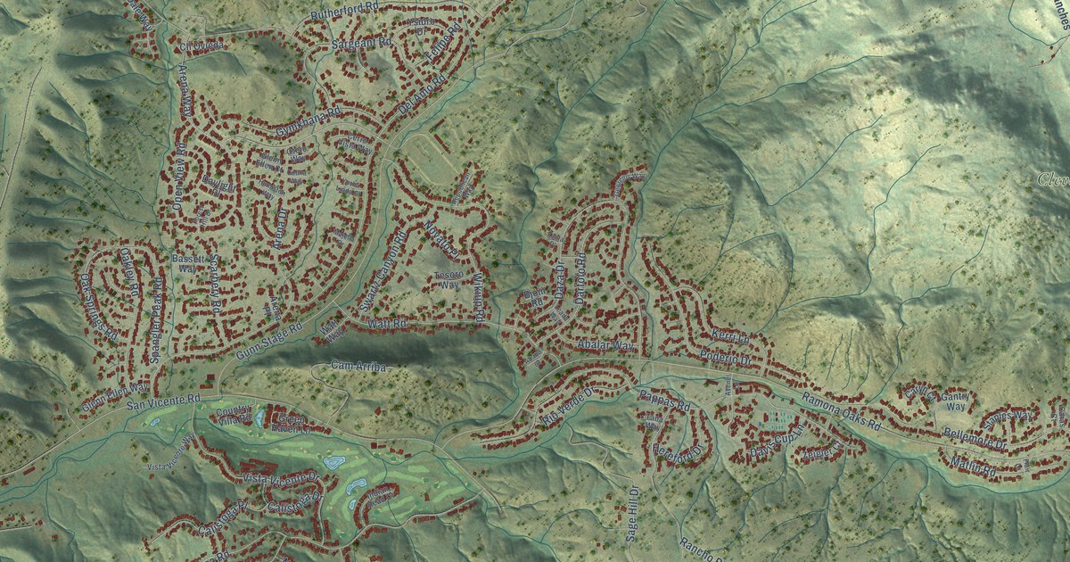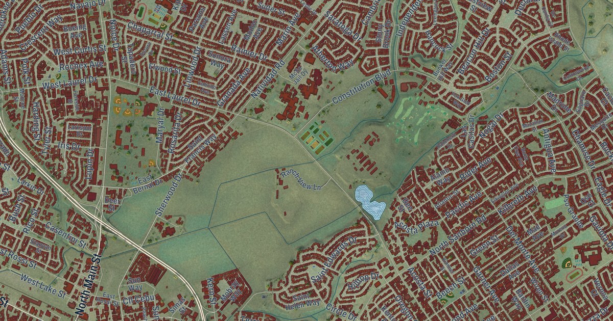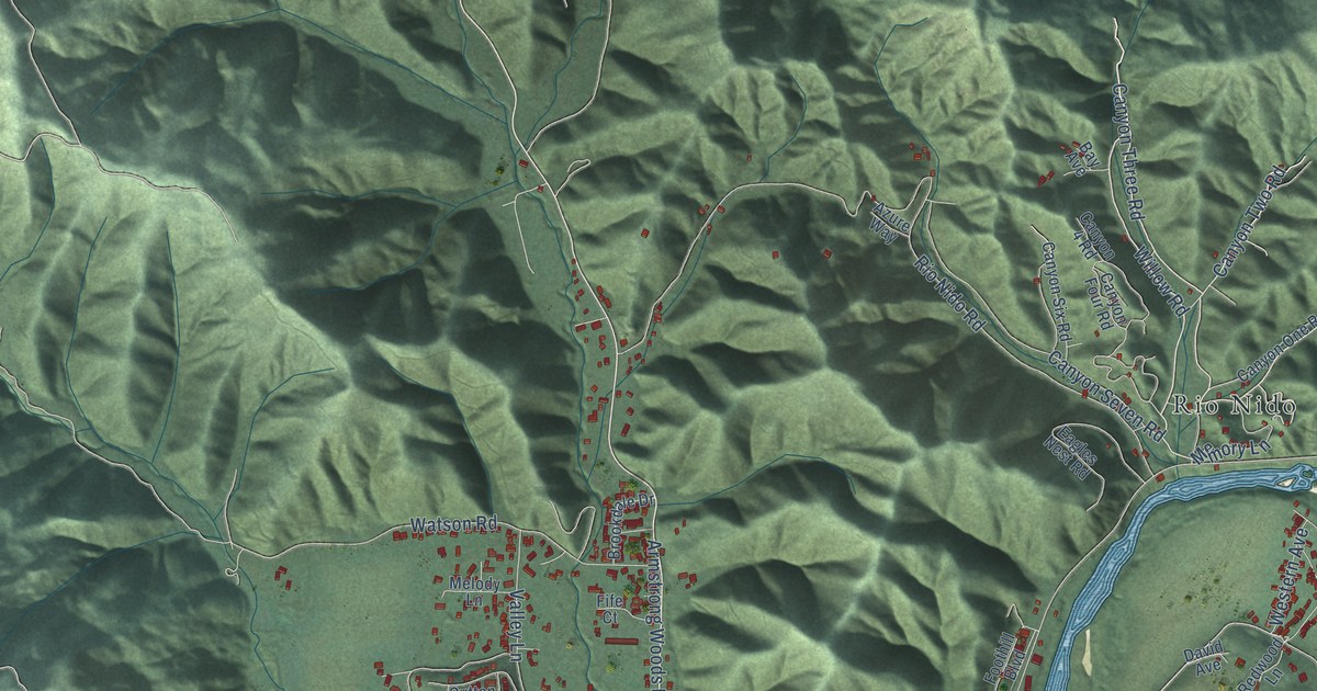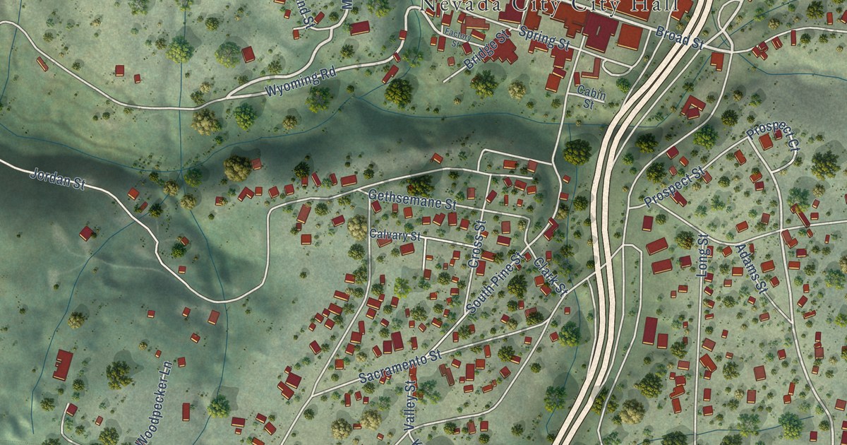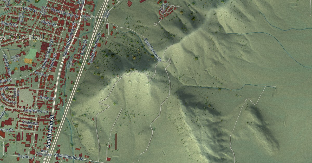
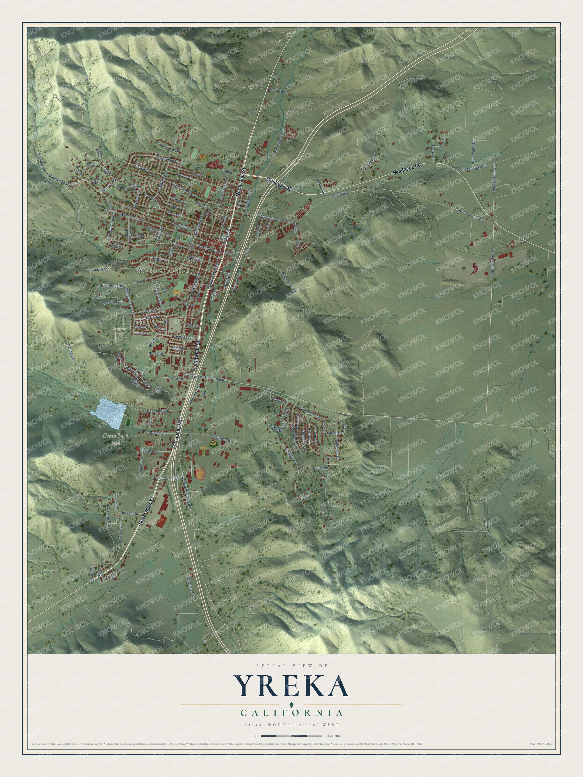
This beautifully detailed map of Yreka, California was created in 2026 using aerial imagery combined with modern topographical, census, street and landmark data. It's a modern aerial view of Yreka in Siskiyou County, California, that combines modern data with a vintage aesthetic. The roads feature printed names, and if you look closely you can find your exact house accurately shown in its correct location.
Explore an aerial view of Yreka, California
On this map you'll find Yreka City Hall, Evergreen Cemetery, Greenhorn Park, Fort Jones Road, North Main Street, South Main Street, Montague Road, South Oregon Street, East Oberlin Road, South Phillipe Lane, North Phillipe Lane, North Foothill Drive, and more. Each red shape is a building, so zoom in on the preview and look for yours.
Every town has a first chapter, and Yreka is no exception. The Internet Archive puts it this way: "In
the interim between his first wife's d'eath and his
second marriage his house was in charge of his
daughter and Mrs."
Yreka is a city in Siskiyou County. The Census Bureau counted 7,807 people here in 2020.
Take a closer look at the Yreka map
Names on this map
These names are printed on this map.
Places: Yreka City Hall, Evergreen Cemetery and Greenhorn Park.
Streets and roads: Fort Jones Road, North Main Street, South Main Street, Montague Road, South Oregon Street, East Oberlin Road, South Phillipe Lane, North Phillipe Lane, North Foothill Drive, Cypress, Payne Lane, East Center Street.
More street names, A to Z
Acorn Drive, Allen Street, Anderson Road, Annie Street, Apsuun Road, Arlene Court, Bennett Drive, Birch Drive, Bluebird Street, Bruce Street, Burgess Street, Burton Avenue, Butte Street, Campbell Avenue, Campus Drive, Cedar Street, Center Street, Childs Way, Collier Circle, Comstock Drive, Dawn Street, Deer Creek Way, Discovery Street, Dove Lane, East Lennox Street, Elm Drive, Evergreen Lane, Fairgrounds Road, Fairlane Road, Flume Court, Foothill Drive, Fourth Street, French Street, Georgia Way, Green Heron Drive, Greenhorn Road, Grizzly Court, Hearn Street, Henig Way, Herzog Boulevard, Hillcrest Drive, Hill Street, Hiram Page Road, Humbug Hollow, Humbug Road, Jackson Street, Jasper Place, Juniper Drive, Juvenile Lane, Kahishraam, Kaschiip, Kelsey Lane, Knapp Street, Lane Street, Laura Lane, Lawrence Lane, Lewis Street, Limestone Circle, Lucas Road, Maple Street, Maryhill Circle, Meadowlark Lane, Middle Street, Mill, Moonlit Oaks Avenue, Murray Avenue, Newton Road, North Broadway Street, North Gold Street, North Lange Way, North Oregon Street, Northridge Drive, North Street, Northview Drive, Nugget Way, Oak Ridge Drive, Oak Street, Old US Highway 99, Oregon Boulevard, Osgood Mine Road, Outsen Road, Park Place, Pine Street, Pioneer Street, Placer Drive, Puh Nay Fitch Street, Puupich, Pyrite Drive, Quail Avenue, Quarry Court, Ranch Lane, Richmond Lane, Riverview Drive, Rose Lane, Roundtree Road, Sandpiper Court, Shadow Lane, Sharps Road, Shasta Avenue, Sierra Vista Drive, Sierra Vista Way, South Broadway Street, South Dewitt Way, South Fairchild Street, South Foothill Drive, South Gold Street, South Street, South West Street, Spring Street, Sunrise Way, Swallow, Ta Kaa Kaa, Taylor Avenue, Tebbe Street, Terrace Drive, Third Street, Thook Street, Turre Street, Wacker Mine Road, Wendy, West Center Street, West Lennox Street, West Miner Street, West Oberlin Road, Westside Road, Wetzel Way, Yama Street, Yreka Ager Road, Yreka Creek, Yreka Walker Road.
Created by KNOWOL in 2026. The buildings are small red shapes, the roads carry their printed names, and shaded relief shows the shape of the land. The title panel reads "AERIAL VIEW OF YREKA CALIFORNIA" with 41°44' NORTH 122°38' WEST.
Hang it in the hallway, the office or the cabin, or give it to someone who left Yreka and still calls it home. Open the preview and look for a street you know. See sizes and frames for the Yreka map.