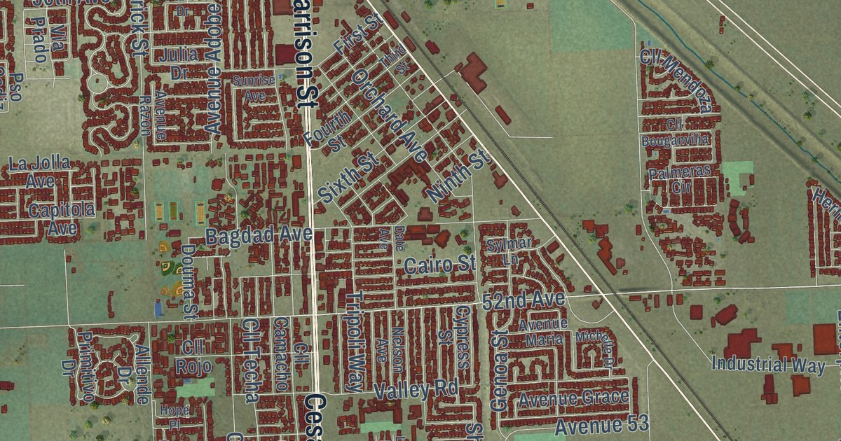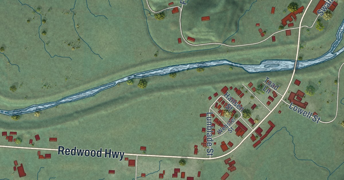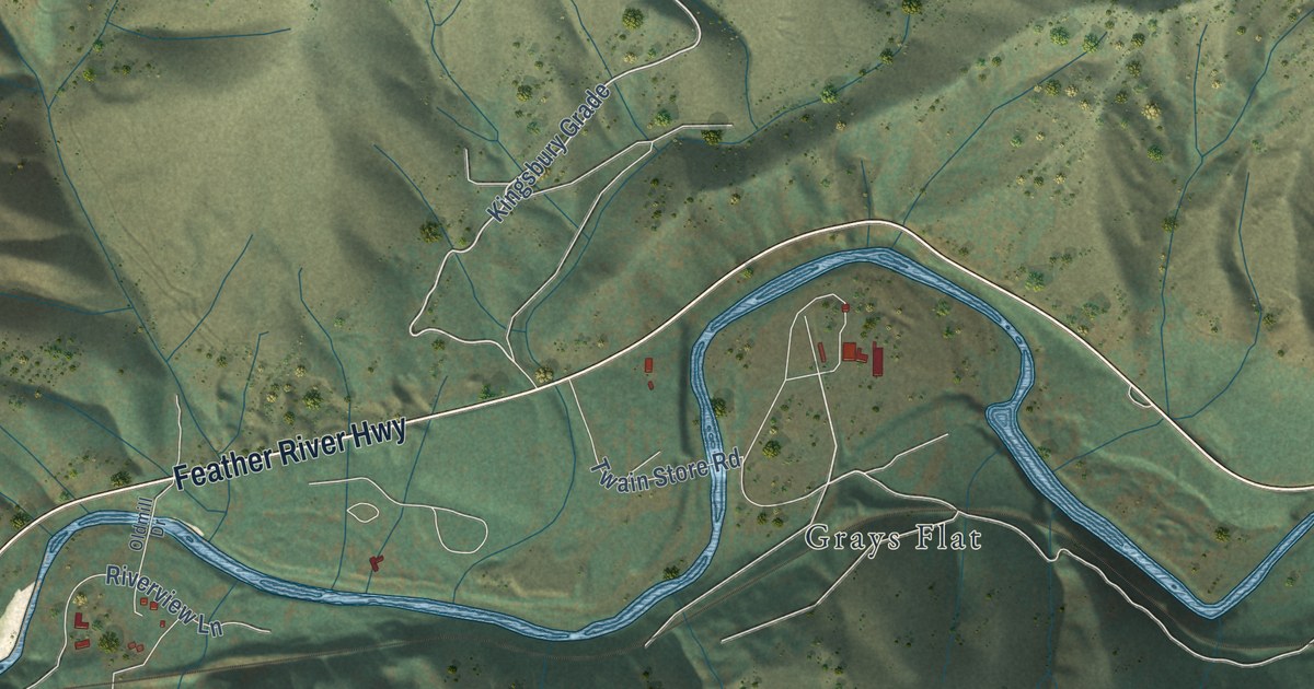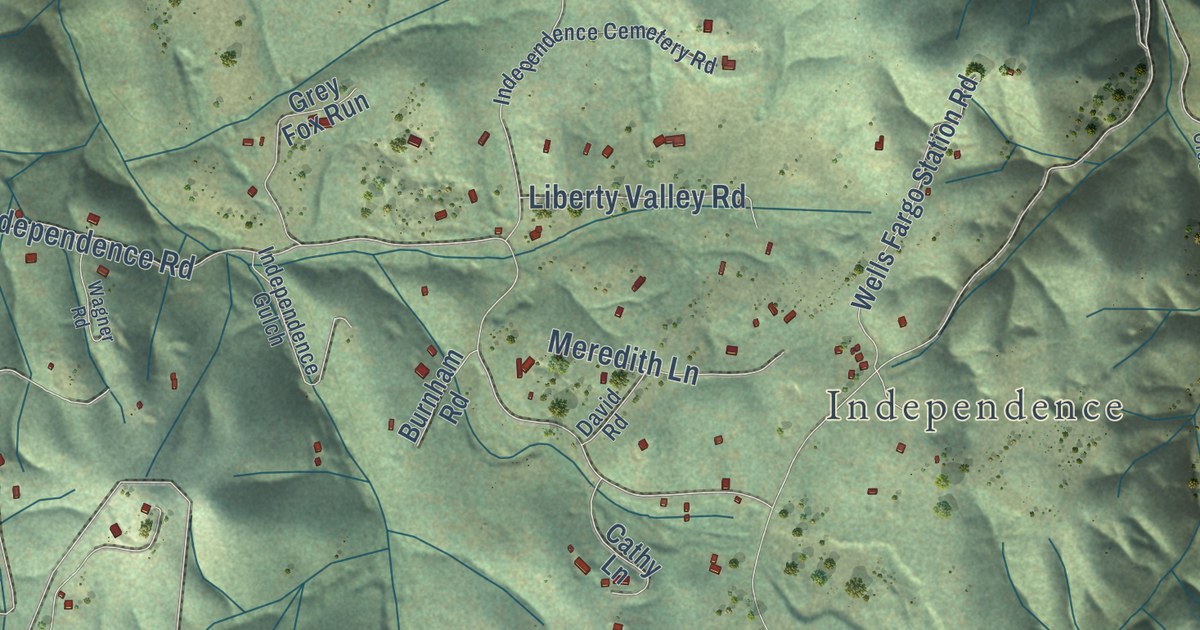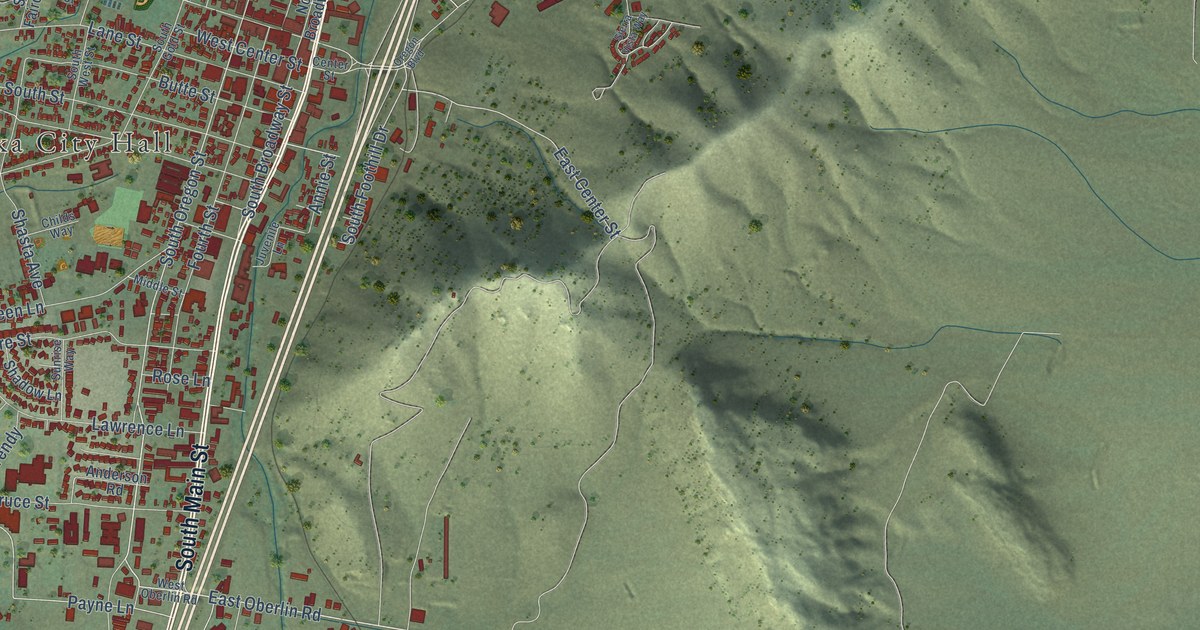
This beautifully detailed map of Yreka, California was created in 2026 using aerial imagery combined with modern topographical, census, street and landmark data. It’s a one-of-a-kind view of Yreka that combines accurate data with a vintage aesthetic. The map shows every building in its true location, many of the roads carry their names, and the shaded topographic relief shows the shape of the land.
Explore an aerial view of Yreka, California
On the map you’ll find Yreka City Hall, Evergreen Cemetery, and Greenhorn Park, along with Fort Jones Road, North Main Street, South Main Street, Montague Road, South Oregon Street, East Oberlin Road, South Phillipe Lane, North Phillipe Lane, North Foothill Drive, and more. If you look closely you can even find your house accurately drawn in its correct location. Zoom in on the preview to look for yours.
Did you know this piece of Yreka, California history?
From the California A Guide to the Golden State: "The place was known as Thompson's Dry Diggings; then, when a town was laid out in May, as Shasta Butte City; and finally, in 1852, as Yreka, which is thought to be a corruption of Wai-ri-ka (Ind., mountain)."
Take a closer look at the Yreka map
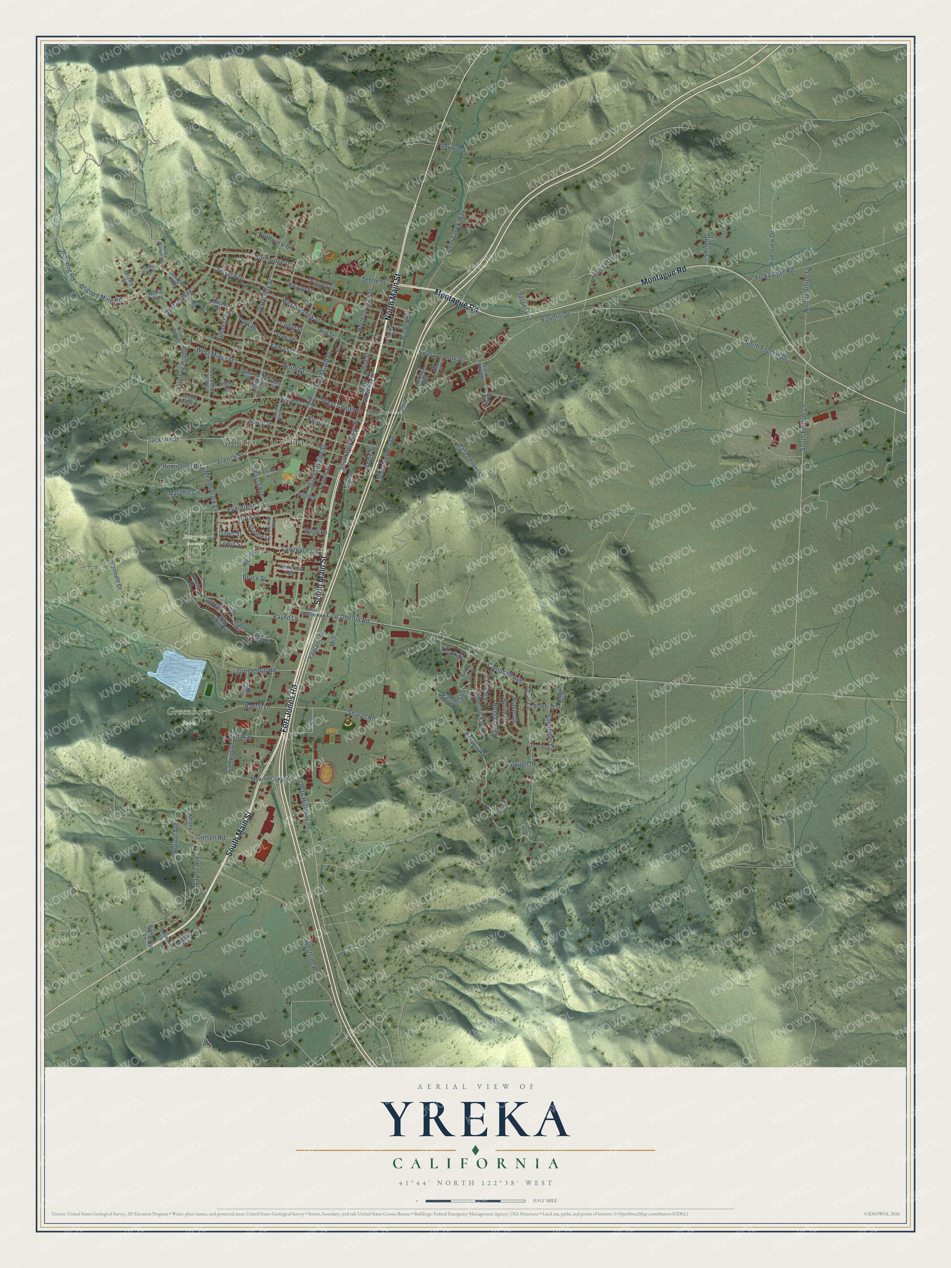
Street and place names on the Yreka, California map
These names are printed on the map of Yreka, California.
Places: Yreka City Hall, Evergreen Cemetery and Greenhorn Park.
Streets and roads: Fort Jones Road, North Main Street, South Main Street, Montague Road, South Oregon Street, East Oberlin Road, South Phillipe Lane, North Phillipe Lane, North Foothill Drive, Cypress, Payne Lane, East Center Street.
More street names, A to Z
Acorn Drive, Allen Street, Anderson Road, Annie Street, Apsuun Road, Arlene Court, Bennett Drive, Birch Drive, Bluebird Street, Bruce Street, Burgess Street, Burton Avenue, Butte Street, Campbell Avenue, Campus Drive, Cedar Street, Center Street, Childs Way, Collier Circle, Comstock Drive, Dawn Street, Deer Creek Way, Discovery Street, Dove Lane, East Lennox Street, Elm Drive, Evergreen Lane, Fairgrounds Road, Fairlane Road, Flume Court, Foothill Drive, Fourth Street, French Street, Georgia Way, Green Heron Drive, Greenhorn Road, Grizzly Court, Hearn Street, Henig Way, Herzog Boulevard, Hillcrest Drive, Hill Street, Hiram Page Road, Humbug Hollow, Humbug Road, Jackson Street, Jasper Place, Juniper Drive, Juvenile Lane, Kahishraam, Kaschiip, Kelsey Lane, Knapp Street, Lane Street, Laura Lane, Lawrence Lane, Lewis Street, Limestone Circle, Lucas Road, Maple Street, Maryhill Circle, Meadowlark Lane, Middle Street, Mill, Moonlit Oaks Avenue, Murray Avenue, Newton Road, North Broadway Street, North Gold Street, North Lange Way, North Oregon Street, Northridge Drive, North Street, Northview Drive, Nugget Way, Oak Ridge Drive, Oak Street, Old US Highway 99, Oregon Boulevard, Osgood Mine Road, Outsen Road, Park Place, Pine Street, Pioneer Street, Placer Drive, Puh Nay Fitch Street, Puupich, Pyrite Drive, Quail Avenue, Quarry Court, Ranch Lane, Richmond Lane, Riverview Drive, Rose Lane, Roundtree Road, Sandpiper Court, Shadow Lane, Sharps Road, Shasta Avenue, Sierra Vista Drive, Sierra Vista Way, South Broadway Street, South Dewitt Way, South Fairchild Street, South Foothill Drive, South Gold Street, South Street, South West Street, Spring Street, Sunrise Way, Swallow, Ta Kaa Kaa, Taylor Avenue, Tebbe Street, Terrace Drive, Third Street, Thook Street, Turre Street, Wacker Mine Road, Wendy, West Center Street, West Lennox Street, West Miner Street, West Oberlin Road, Westside Road, Wetzel Way, Yama Street, Yreka Ager Road, Yreka Creek, Yreka Walker Road.
See the Yreka, California map on a wall
The Yreka map as an 18 x 24 inch print in a black frame.

This beautifully detailed map of Yreka makes an attractive addition to your office, library, or den, and it can even be used to teach children the geography and history of the area. It also makes a great gift for someone who left Yreka and still calls it home. When you’re done exploring, click here to get your copy of the Yreka map.