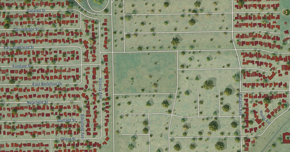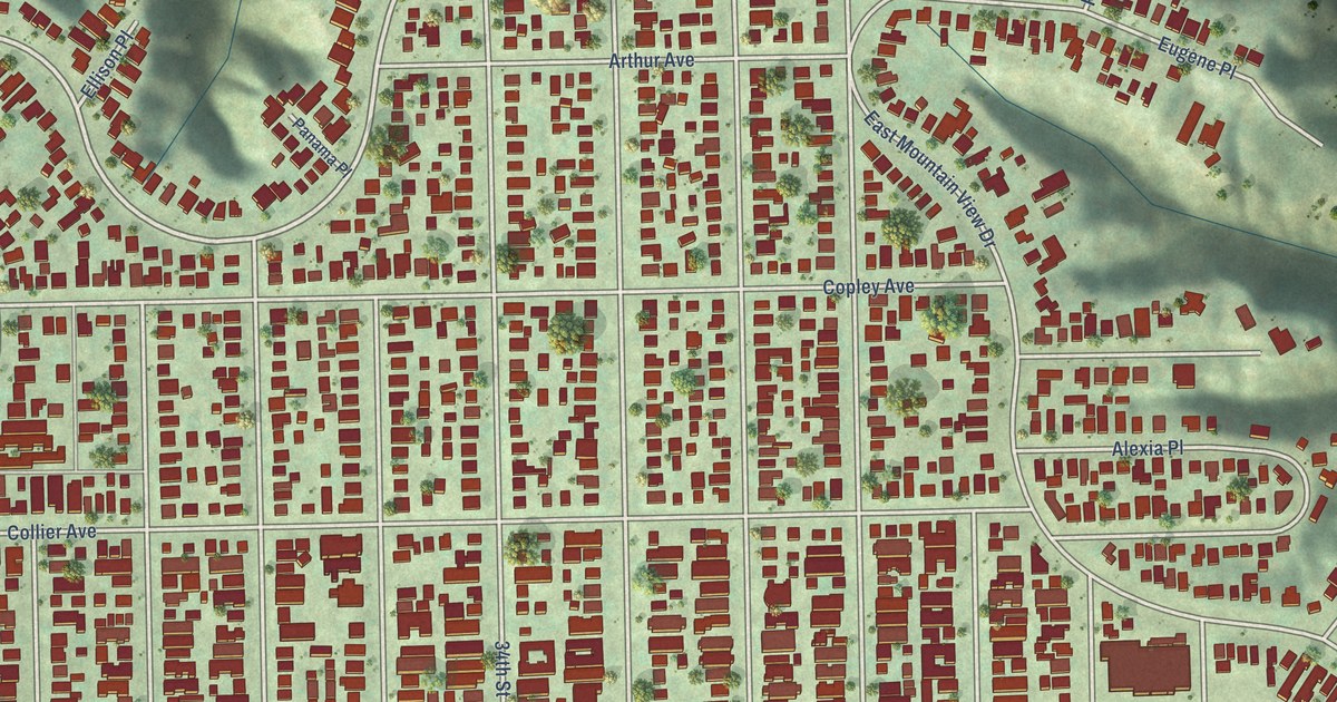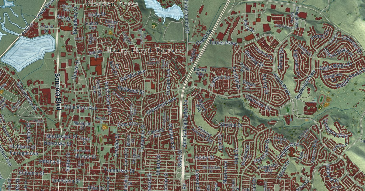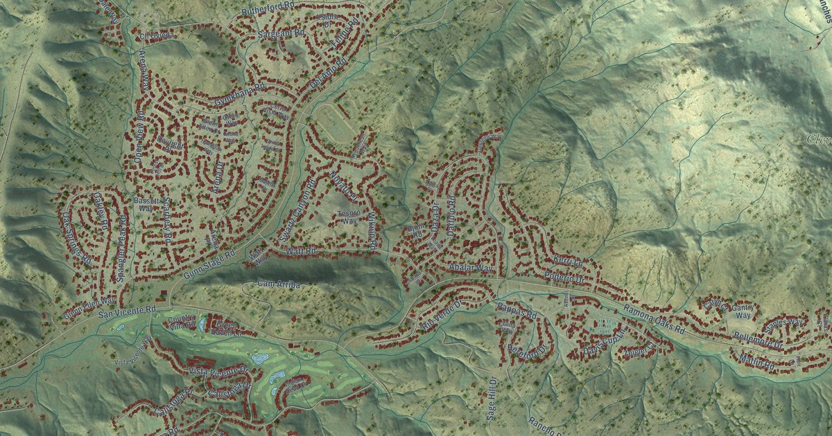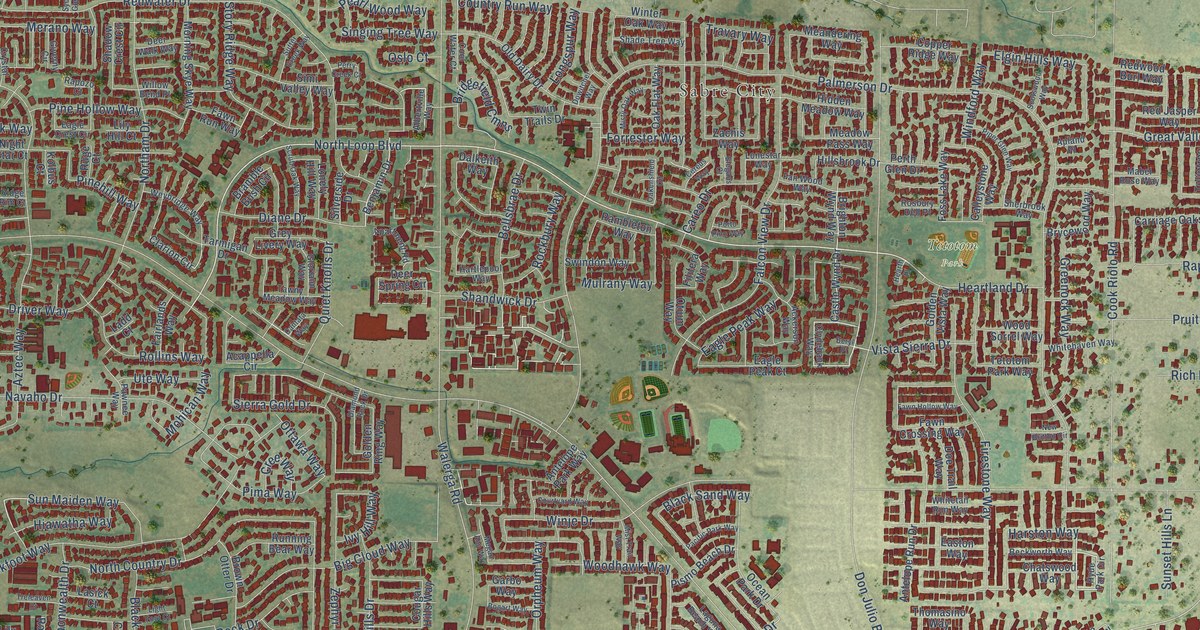
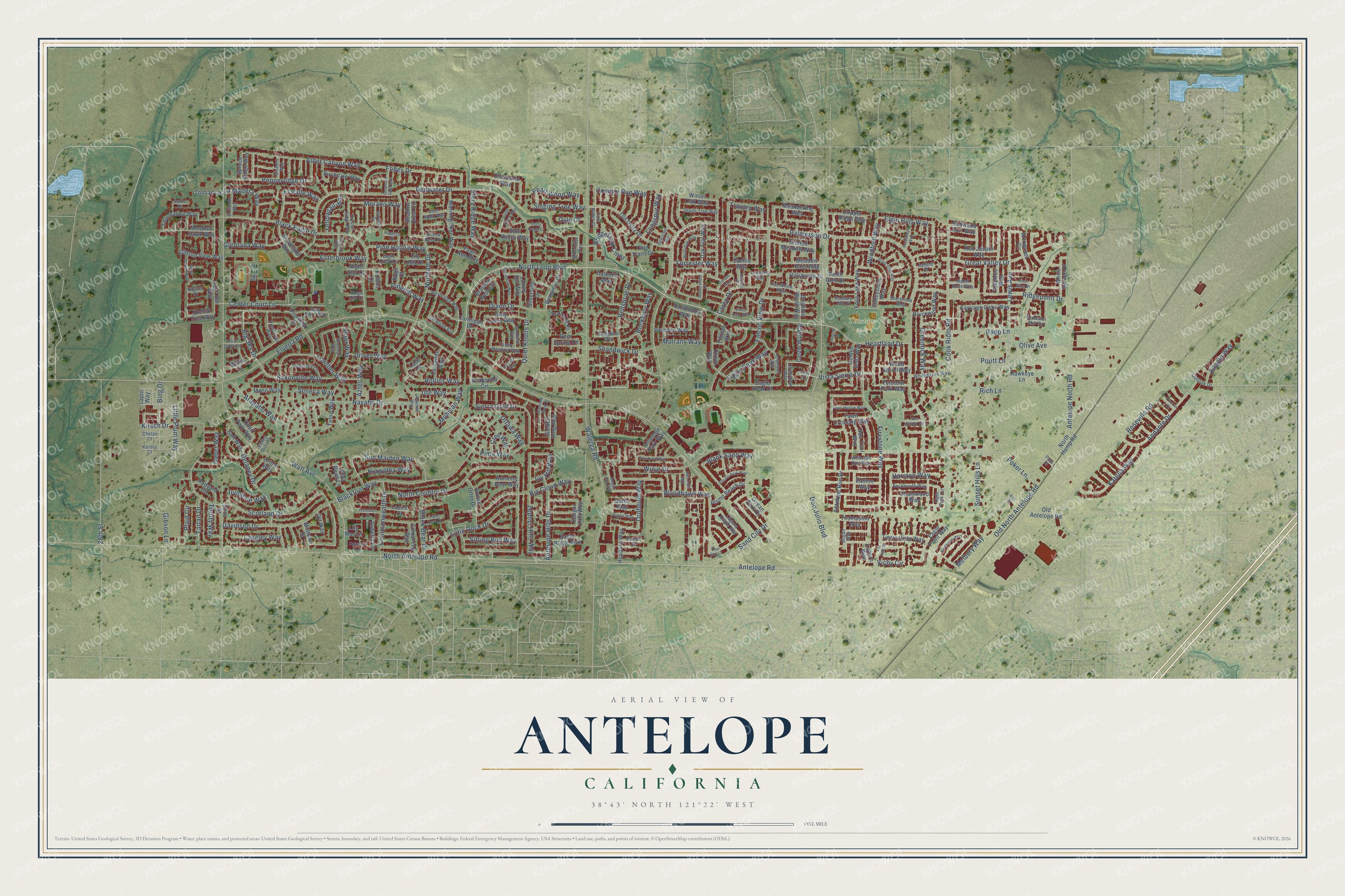
This beautifully detailed map of Antelope, California was created in 2026 using aerial imagery combined with modern topographical, census, street and landmark data. It's a modern aerial view of Antelope in Sacramento County, California, that combines modern data with a vintage aesthetic. The roads feature printed names, and if you look closely you can find your exact house accurately shown in its correct location.
Explore an aerial view of Antelope, California
On this map you'll find Sabre City, Tetotom Park, North Loop Boulevard, Heartland Drive, Sun Maiden Way, Harston Way, Big Sky Drive, Saxonville Way, Sand City Drive, Elverta Road, Palmerson Drive, Antelope Road, and more. Each red shape is a building, so zoom in on the preview and look for yours.
Here is a piece of Antelope history, in the words of the record. The Sacramento County History puts it this way: "The Twelve-Mile House was built in 1853 by a man named Caldwell, and was known as the Antelope ranch."
Antelope is a community in Sacramento County. The Census Bureau counted 48,733 people here in 2020.
Take a closer look at the Antelope map
Names on this map
These names are printed on this map.
Places: Sabre City and Tetotom Park.
Streets and roads: North Loop Boulevard, Heartland Drive, Sun Maiden Way, Harston Way, Big Sky Drive, Saxonville Way, Sand City Drive, Elverta Road, Palmerson Drive, Antelope Road, Watt Avenue, North Antelope Road.
More street names, A to Z
28th Street, 32nd Street, Acappella Circle, Ackerson Way, Adagio Way, Albertville Way, Alder Canyon Way, Andante Drive, Antelope Hills Drive, Antelope North Road, Antelope Park Way, Antelope Run Drive, Apartment Road, Apland Place, Arapaho Way, Arrowroot Circle, Ash Street, Aztec Way, Bacall Court, Beckworth Way, Bellsbrae Drive, Benjamin Drive, Beryl Place, Big Cloud Way, Bing Drive, Birchdale Way, Black Bear Drive, Black Eagle Drive, Blackfoot Way, Black Saddle Drive, Black Sand Way, Bogan Way, Bogart Way, Borthwick Way, Bramble Bush Circle, Brewster Mill Circle, Bridgefield Cmns, Brighton Wynd Way, Brownlea Circle, Brown Otter Drive, Brycewood Way, Caballero Lane, Caber Way, Calleystone Way, Cantata Way, Careo Drive, Carriage Oaks Way, Castle Wynd Drive, Center Court Lane, Cereus Way, Chamonix Way, Chatswood Way, Chelan Court, Clarion Circle, Clydebank Way, Comanche Way, Commonwealth Drive, Cook Riolo Road, Cool Water Court, Copper Ridge Way, Cougar Hills Way, Country Run Way, Courtyard Way, Cree Way, Crystal Ridge Way, Dalkeith Way, Davidson Drive, Deer Spring Circle, Deer Walk Way, Delaney Drive, Diamond Rock Drive, Diane Drive, Dishers Way, Doe Trail Way, Don Julio Boulevard, Dowitcher Way, Driver Way, Eagle Crest Circle, Eagle Peak Court, Eagle Peak Way, Eagle Point Way, Eagle Ridge Way, Easton Way, Elegans Court, Elgin Hills Way, El Valle Way, El Viento Way, Esterbrook Way, Fairlands Way, Falcon View Drive, Fan Wood Way, Fawn Crossing Way, Fawn Hollow Way, Fawn Run Way, Filifera Way, Firestone Way, Fobes Drive, Forrester Way, Foss Lake Way, Garbo Way, Gibson Lane, Gibson View Way, Giverny Circle, Glentana Way, Gloriann Way, Golden Ring Way, Golden Vista Way, Gray Mare Way, Great Valley Drive, Greenock Way, Grey Livery Way, Groveland Way, Gull Way, Hartlepool Way, Hawkeye Lane, Hearth Place, Hepburn Way, Hiawatha Way, Hidden Meadow Way, Hillsbrook Drive, Hyde Park Circle, Irvindale Way, Ivy Hill Way, Katella Way, Kirsch Drive, Kolbus Court, Kordia Court, Ladd Court, Laguna Beach Way, La Madera Way, Langley Way, Lapin Way, Lasick Court, La Tour Drive, Lewis Avenue, Light Foot Court, Lily Hill Court, Lily Mar Lane, Little Plum Way, Little Rock Drive, Lonely Hill Way, Lonestar Way, Longspur Way, Lowther Way, Luzern Way, Mabel Rose Way, Meadow Hawk Way, Meadow Pass Way, Meandering Way, Megan Ann Way, Melbury Way, Merano Way, Midtown Drive, Mist Trail Way, Misty Oak Way, Mohican Way, Mono Way, Morning Skye Way, Mulrany Way, Navaho Drive, New Britton Circle, Night Star Court, Nolana Court, Northam Drive, North Country Drive, North Hump Road, Oakenshield Circle, Oak Flat Way, Ocean Park Drive, Old Antelope Road, Old Dairy Drive, Old North Antelope Road, Olive Avenue, Orchid Tree Way, Oriole Way, Orpheum Way, Ort Way, Oslo Court, Otium Way, Ottawa Way, Outlook Drive, Pacific Park Way, Pawnee Way, Pearl Wood Way, Pepperridge Drive, Perry Creek Court, Perth Glen Drive, Piccolo Court, Pima Way, Pinefield Drive, Pinehill Way, Pine Hollow Way, Pine Street, Piper Glen Way, Pismo Beach Drive, Plaid Circle, Poker Lane, Porto Pino Way, Preakness Way, Prior Way, Pruitt Lane, Quail Park Way, Quiet Knolls Drive, Rambleton Way, Rapozo Court, Rapp Lane, Red Jasper Way, Redwater Drive, Redwood Burl Way, Rich Lane, Ridgepoint Drive, Ridge Rim Court, River Birch Place, Roberta Lane, Rockbury Way, Rollins Way, Rosbury Dell Place, Roseville Road, Rudyard Circle, Ruge Court, Running Bear Way, Sadie Court, Scotland Drive, Scotswood Way, Scrub Oak Way, Seneca Way, Shade Tree Way, Shadow Crest Circle, Shandwick Drive, Sheehan Way, Sherbrook Way, Sierra Gold Drive, Silk Tree Way, Silver Run Way, Silverside Drive, Simi Valley Way, Singing Tree Way, Sitting Bull Way, Spruce Ridge Way, Story Ridge Way, Sunset Hills Lane, Sutter Creek Way, Swindon Way, Sycamore Glen Way, Tarmigan Drive, Tartan Drive, Tawny Meadow Way, Teal Bay Court, Teton Way, Tetotom Park Way, Thomasino Way, Thrifty Way, Tierra Vista Way, Tolman Lane, Tourmaline Way, Travary Way, Treleaven Court, Tuliptree Way, Twin Trails Drive, Ute Way, Valley Quail Court, Vichy Circle, Vista Point Lane, Vista Sierra Drive, Walerga Road, Weybridge Way, Whitehaven Way, White Spruce Drive, Whitetail Run Way, Willow Bend Place, Wind Flower Way, Windford Way, Winje Drive, Winter Oak Way, Wolfe Court, Woodhawk Way, Wood Sorrel Way, Yellowtail Way, Zachis Way, Zephyr Hills Way.
Created by KNOWOL in 2026. The buildings are small red shapes, the roads carry their printed names, and shaded relief shows the shape of the land. The title panel reads "AERIAL VIEW OF ANTELOPE CALIFORNIA" with 38°43' NORTH 121°22' WEST.
It suits a den, a classroom or a front hall, and it makes a gift for anyone with Antelope roots. Open the preview and find the block you know. See sizes and frames for the Antelope map.