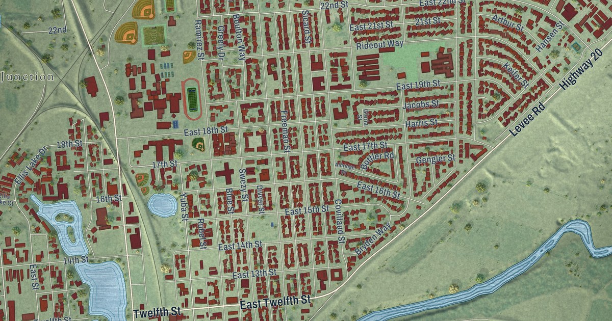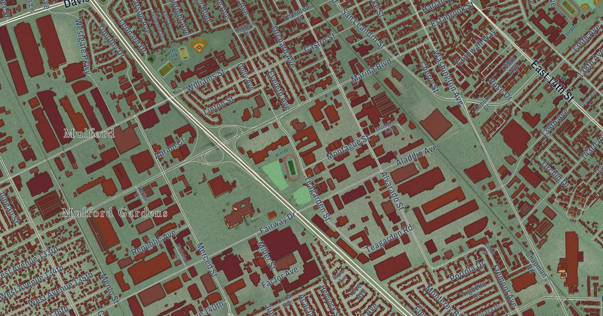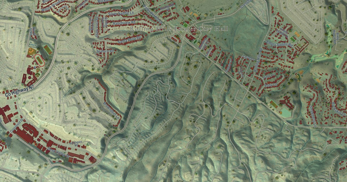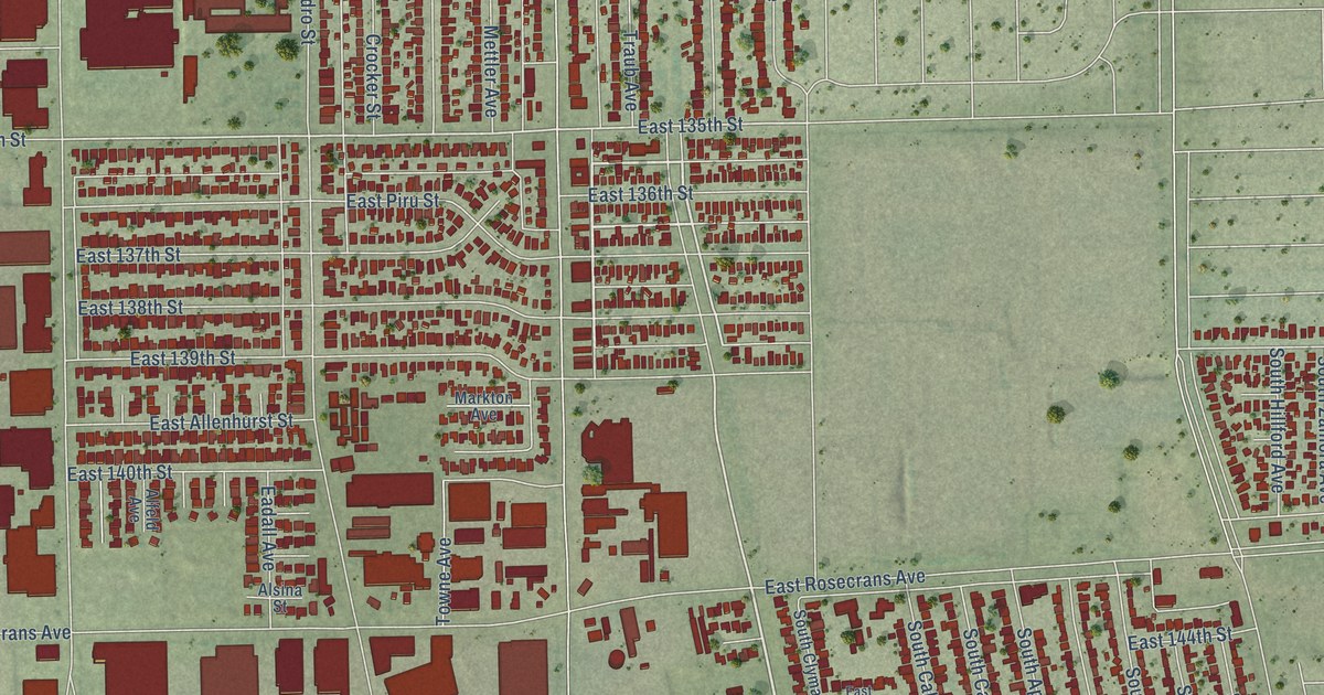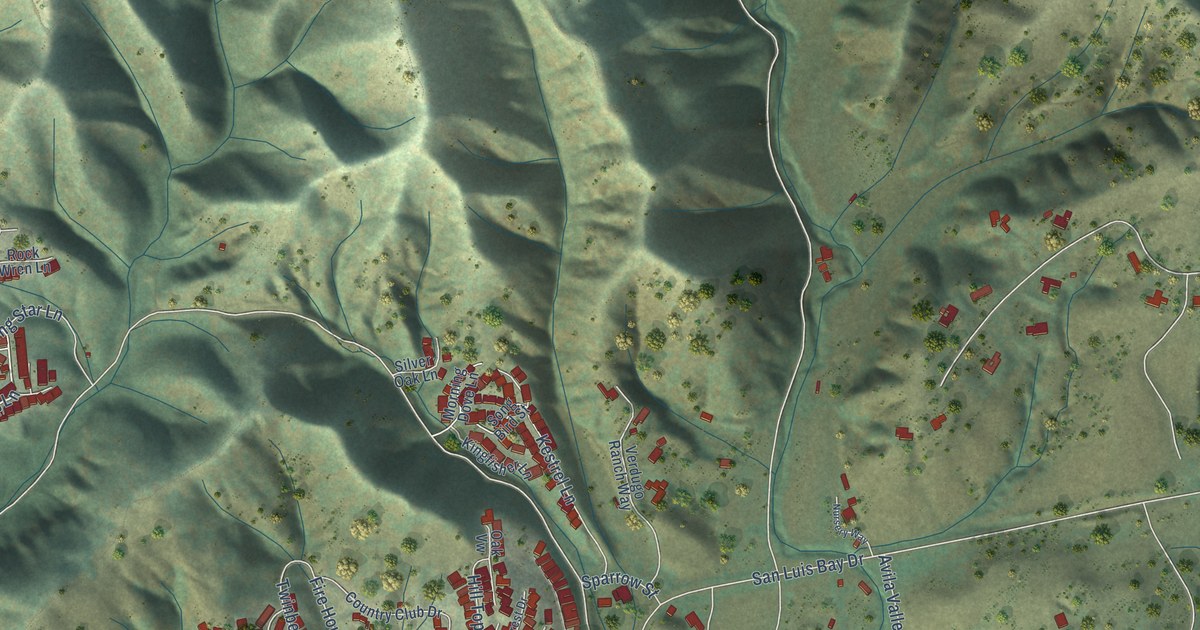
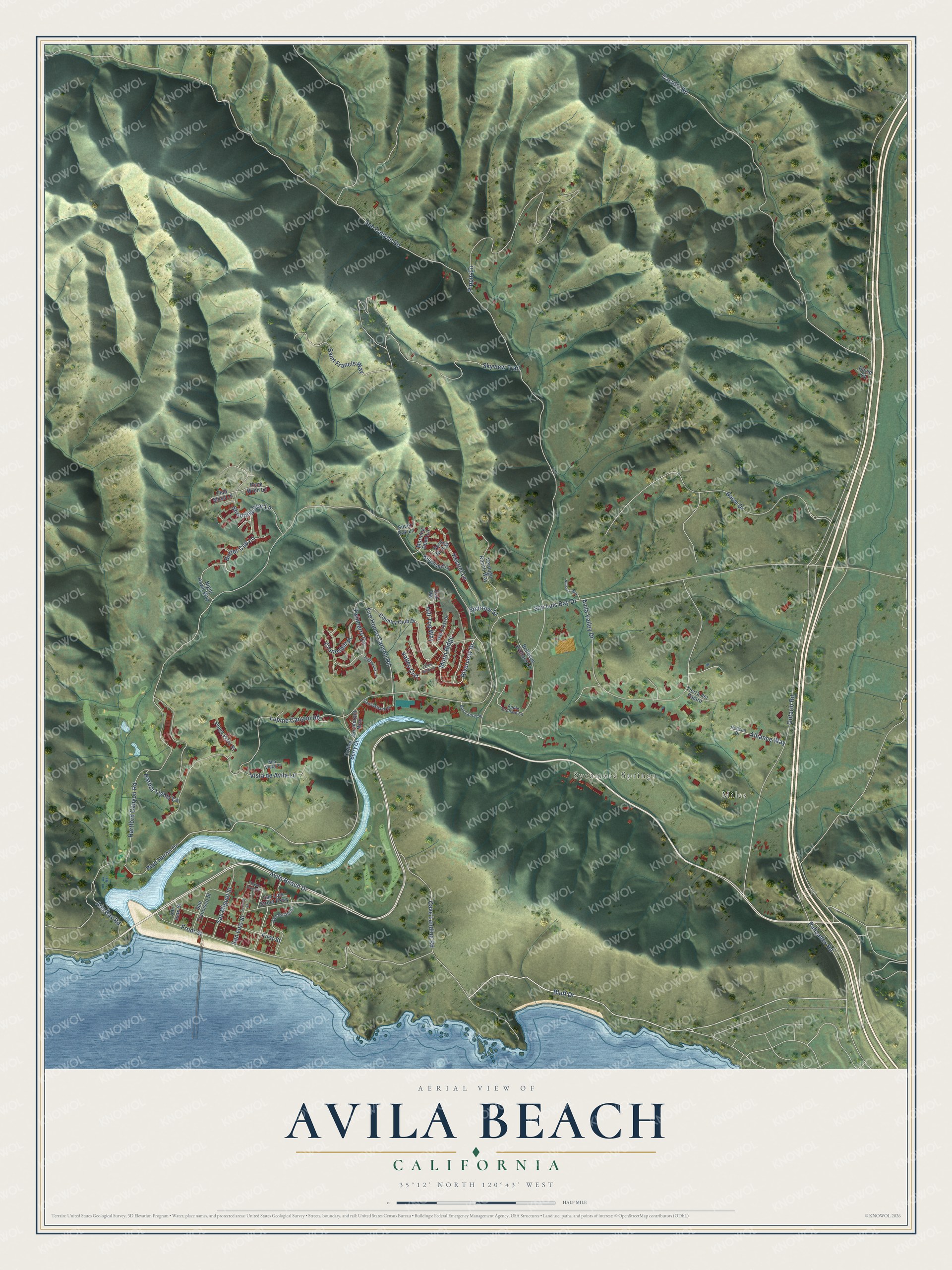
This beautifully detailed map of Avila Beach, California was created in 2026 using aerial imagery combined with modern topographical, census, street and landmark data. It's a modern aerial view of Avila Beach in San Luis Obispo County, California, that combines modern data with a vintage aesthetic. The roads feature printed names, and if you look closely you can find your exact house accurately shown in its correct location.
Explore an aerial view of Avila Beach, California
On this map you'll find Miles, Sycamore Springs, Riverview Drive, Cave Landing Road, Bluff Drive, Avila Beach Drive, Ontario Road, Blue Heron Drive, Palisades Road, Fire House Canyon Road, Butter Cup Lane, Lupine Canyon Road, and more. Each red shape is a building, so zoom in on the preview and look for yours.
Avila Beach is a community in San Luis Obispo County. The Census Bureau counted 1,576 people here in 2020. The map prints the town name in its title panel, with the coordinates below it.
Take a closer look at the Avila Beach map
Names on this map
These names are printed on this map.
Places: Miles and Sycamore Springs.
Streets and roads: Riverview Drive, Cave Landing Road, Bluff Drive, Avila Beach Drive, Ontario Road, Blue Heron Drive, Palisades Road, Fire House Canyon Road, Butter Cup Lane, Lupine Canyon Road, See Canyon Road, San Luis Bay Drive.
More street names, A to Z
Alliance Way, Ana Bay Road, Apple Orchard Lane, Avila Valley Drive, Bassi Drive, Bay Laurel Place, Bellevue Orchard Lane, Canvasback Place, Castillo Road, Club Moss Lane, Coffee Berry Court, Cormorant Way, Country Club Drive, Cranesbill Place, David Court, Fiddleneck Lane, First Street, Front Street, Harbor Lights Lane, Hartford Canyon Road, Hill Top Way, Hudson Drive, Kestrel Lane, Kingfisher Lane, Mar Vista Place, Moon Ridge, Morning Dove Lane, Night Hawk Way, Nursery Way, Oak Crest Drive, Oak Vw, Ocean Oaks Drive, Pippin Lane, Playa Vista Place, Rock Wren Lane, Saint Francis Way, San Francisco Street, San Juan Street, San Luis Street, San Luis Street Parkway, San Miguel Street, San Rafael Street, Second Street, Shooting Star Lane, Silver Oak Lane, Skyview Trail, Song Bird Street, Sparrow Street, Tierra del Pajaro, Twinberry Circle, Valley Crst, Valley View Lane, Verdugo Ranch Way, Vista de Avila Lane.
Created by KNOWOL in 2026. The buildings are small red shapes, the roads carry their printed names, and shaded relief shows the shape of the land. The title panel reads "AERIAL VIEW OF AVILA BEACH CALIFORNIA" with 35°12' NORTH 120°43' WEST.
It suits a den, a classroom or a front hall, and it makes a gift for anyone with Avila Beach roots. Open the preview and find the block you know. See sizes and frames for the Avila Beach map.