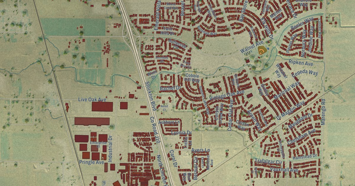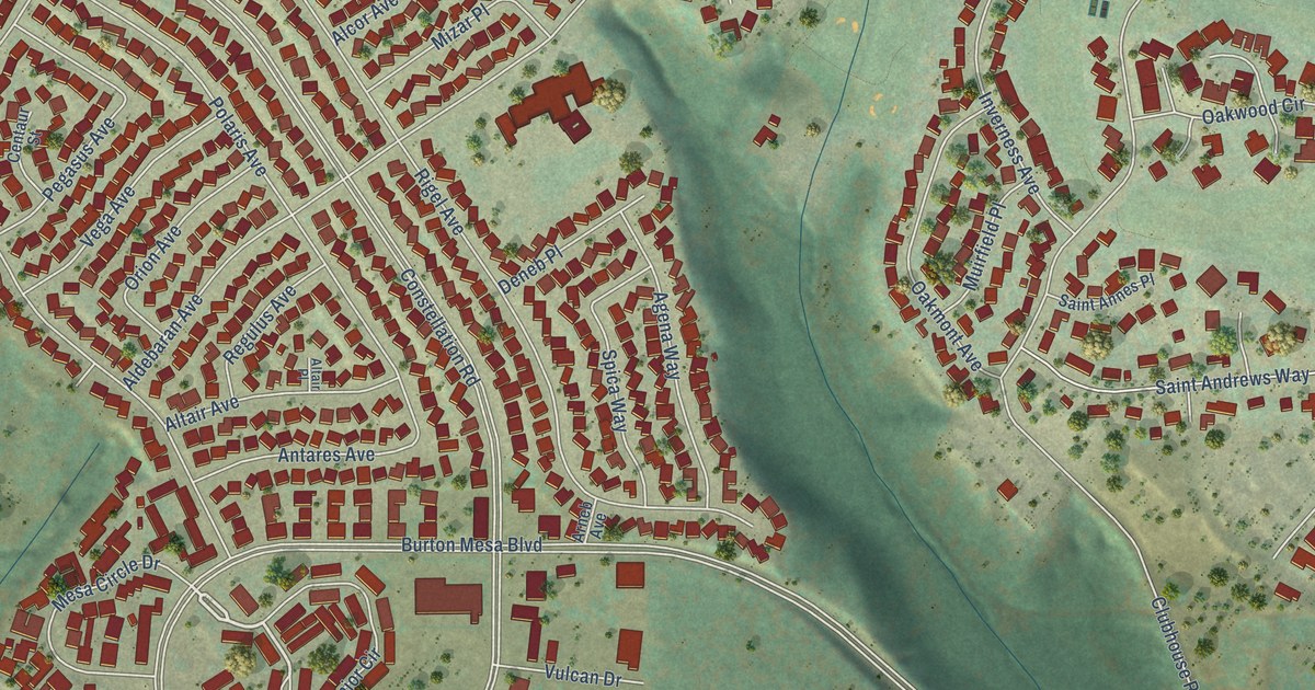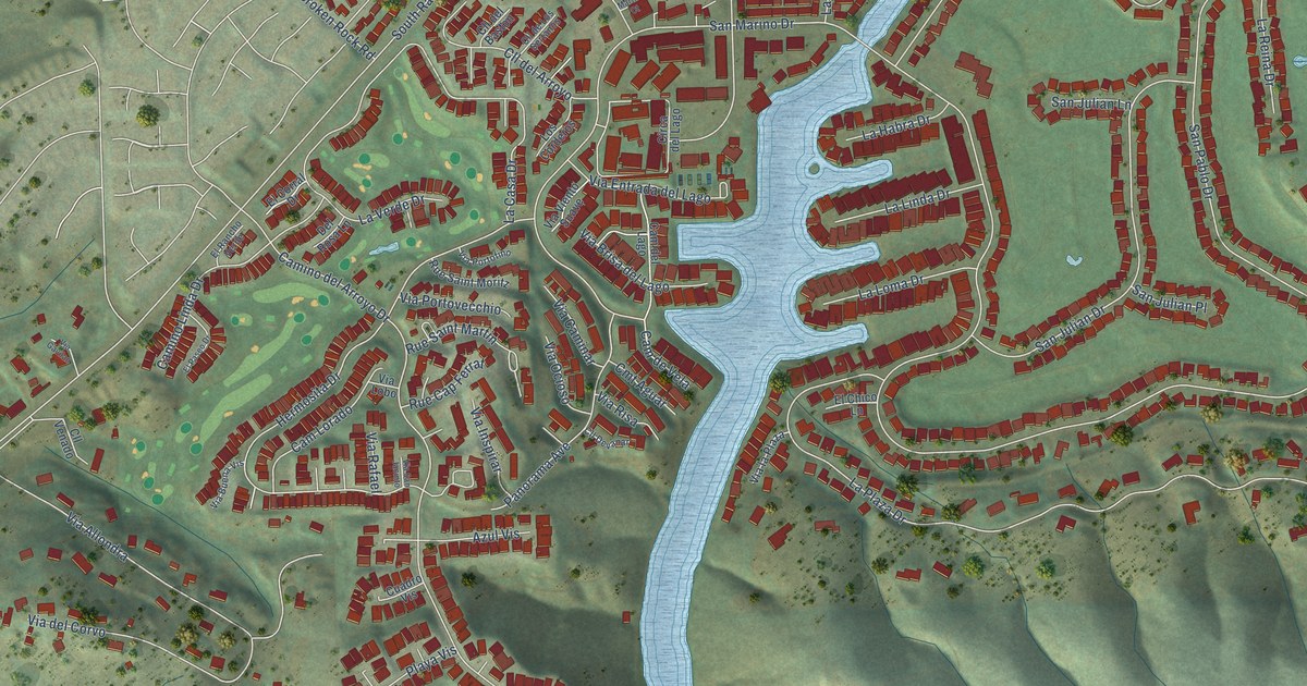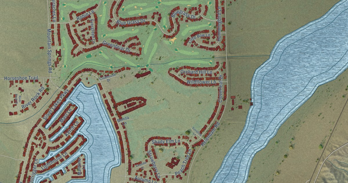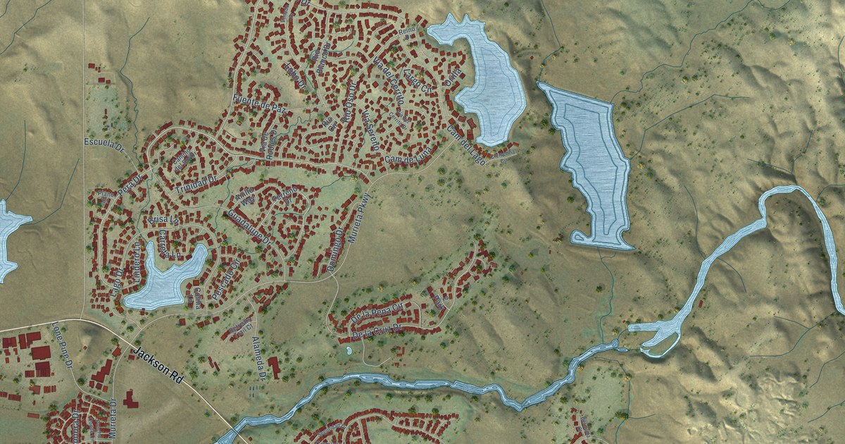
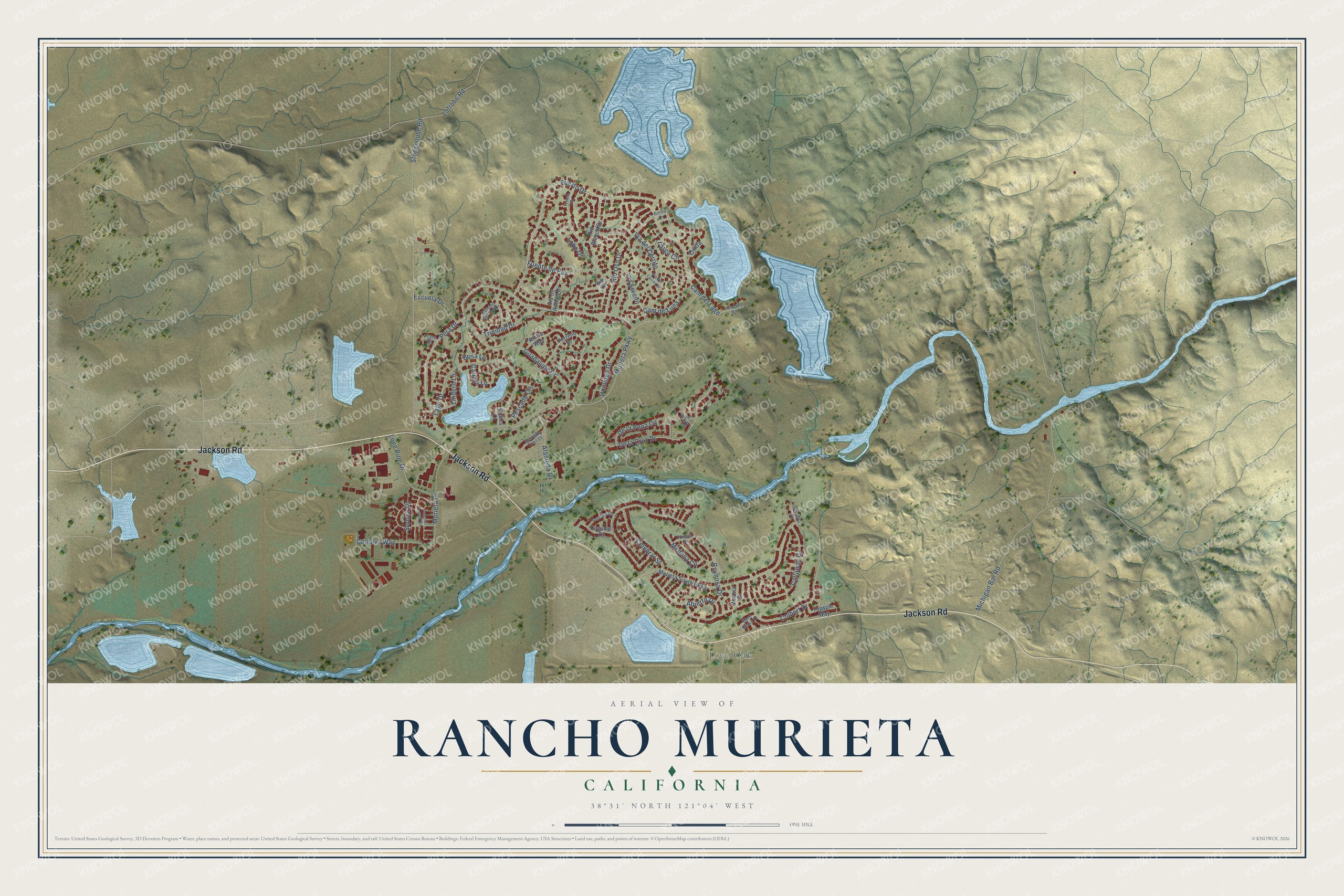
This beautifully detailed map of Rancho Murieta, California was created in 2026 using aerial imagery combined with modern topographical, census, street and landmark data. It's a modern aerial view of Rancho Murieta in Sacramento County, California, that combines modern data with a vintage aesthetic. The roads feature printed names, and if you look closely you can find your exact house accurately shown in its correct location.
Explore an aerial view of Rancho Murieta, California
On this map you'll find Live Oak, Jackson Road, Guadalupe Drive, Puerto Drive, Pera Drive, De la Cruz Drive, Rio Oso Drive, Abierto Drive, Trinidad Drive, Michigan Bar Road, Murieta Parkway, Stonehouse Road, and more. Each red shape is a building, so zoom in on the preview and look for yours.
Rancho Murieta is a community in Sacramento County. The Census Bureau counted 5,903 people here in 2020. The map prints the town name in its title panel, with the coordinates below it.
Take a closer look at the Rancho Murieta map
Names on this map
These names are printed on this map.
Places: Live Oak and 2 Park.
Streets and roads: Jackson Road, Guadalupe Drive, Puerto Drive, Pera Drive, De la Cruz Drive, Rio Oso Drive, Abierto Drive, Trinidad Drive, Michigan Bar Road, Murieta Parkway, Stonehouse Road, Reynosa Drive.
More street names, A to Z
Alameda Drive, Anillo Way, Bent Grass Court, Bermuda Court, Brisa Lane, Callaway Drive, Cam del Lago, Cam de Luna, Camino del Sol Drive, Cantova Way, Carreta Lane, Celebrar Street, Clementia Circle, Colbert Drive, Colina Lane, Cozumel Drive, De la Pena Circle, Domingo Drive, Escuela Drive, Fuente de Paz, Lago Drive, Largo Circle, Latrobe Road, Lindero Lane, Lobo Drive, Lone Pine Drive, Medella Circle, Murieta Drive, Murieta South Parkway, Nueva Drive, Orilla, Pescado Circle, Plano Court, Poncho Conde Circle, Reino Drive, Retreats Trail Court, Rio Blanco Drive, Rio Circle, Seguridad Drive, Sonora Drive, Terreno Drive, Topspin Way, Venado Drive, Verona Drive, Via del Cerrito, Via del Cerrito Drive, Via de Robles Drive, Via Sereno.
Created by KNOWOL in 2026. The buildings are small red shapes, the roads carry their printed names, and shaded relief shows the shape of the land. The title panel reads "AERIAL VIEW OF RANCHO MURIETA CALIFORNIA" with 38°31' NORTH 121°04' WEST.
Hang it in the hallway, the office or the cabin, or give it to someone who left Rancho Murieta and still calls it home. Open the preview and look for a street you know. See sizes and frames for the Rancho Murieta map.